루시아나에서 가장 멋진 14개의 산 정상
루시아나의 산 정상에 오르면 이 지역의 아름다운 모습을 제대로 구경할 수 있어요. 다만, 14
곳이나 되는 산 정상 중에서 어떤 곳을 가야 할 지 고민된다는 게 문제죠. 루시아나에서 가장 멋진 산 정상을 살펴본 후에 마음에 드는 산 정상을 다음 모험 계획에 추가해보세요.
마지막 업데이트: 7월 7, 2026

몬테 카이나 정상과 파티마의 성모상
하이라이트 • 정상
번역자 Google •
팁에 의해

이런 장소를 발견하려면 지금 가입하세요
최고의 싱글 트랙, 봉우리 및 다양한 흥미로운 야외 장소에 대한 추천을 받아보세요.
무료 회원 가입
몬테 피오르
하이라이트 • 정상
more information: it.wikipedia.org/wiki/Monte_Fior
번역자 Google •
팁에 의해

Col d'Astiago
하이라이트 • 산악 고개
번역자 Google •
팁에 의해


오늘 무료 계정으로 시작하세요
다음 모험이 기다리고 있어요.
로그인 또는 가입하기



커뮤니티 팁

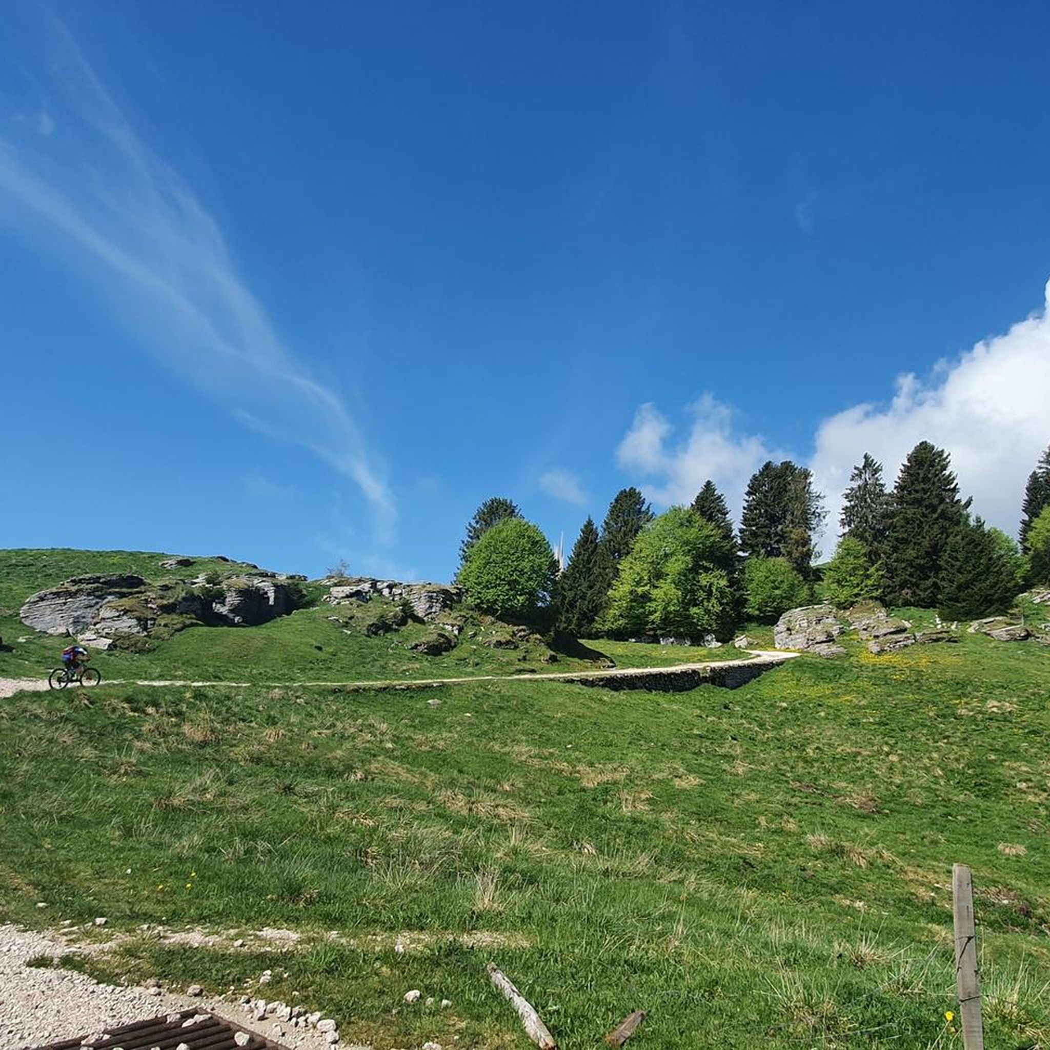
Col Fenilon is a green, rounded hill rising among the Colli Alti, offering a splendid 360° panorama, even better than the more famous (and lower) Col Moschin: the view extends over the plain, Bassano and the Brenta Valley, the Asiago Plateau, the Lagorai, Mount Grappa, and, on the horizon, the Dolomites. During the First World War, the Colli Alti del Grappa (including Col Fenilon and Col Moschin) were a crucial and extreme point of Italian resistance defending the plain. In June 1918, they were conquered by the Austro-Hungarians, and later retaken by the Italians in a lightning-fast and legendary action. The name derives from "buon fieno" (good hay), due to the excellent mountain pastures it has provided for centuries.
0
0


One of the few places on the plateau with a view both of the inhabited part with the presence of the various villages, Asiago in the lead, and towards the north with all the mountains that delimit the plateau (Cima 12, Otigara, Portule....). In addition to Grappa, Lagorai, Pasubio....
2
0

It is a defensive military barracks built in the second half of the 19th century, entirely in stone, which overlooks the town of Camporovere and dominates the entire central basin of the Plateau. From a historical point of view, the Forte Interrotto represents a completely exceptional case. It was in fact born from a military architecture project that still followed late medieval canons, recognizable in the 6 gigantic central arches and in the imposing lateral bastions with 115 positions for riflemen. In 1916 it was occupied by the Austro-Hungarians and transformed into a stronghold of the imperial line.
1
0
Col d'Asiago offers a beautiful and privileged panoramic point on the underlying Canale del Brenta, or the narrow and deep terminal part of Valsugana. But the view extends over the Asiago Plateau and the entire skyline of mountains that border it to the north, the Grappa Massif to the east and the mouth of Val Brenta. In the distance, the Piccole Dolomiti, the Pale di San Martino and the Vette Feltrine. Precisely because of its strategic position, during the First World War it was a strongly armed Italian defensive bastion and decisive in various phases of the conflict. The peak is also known locally by the ancient and dialect toponym 'Col del S-ciavo', dating back to the time of the Serenissima: on the slopes of the hill in fact the 'schiavoni' (i.e. the non-Latin inhabitants of the dominions of Dalmatia and the Venetian hinterland) cut wood for the naval fleet; the trunks (especially beech trees) were lowered down the valley through the famous and nearby Calà del Sasso; they were then loaded onto rafts that went down the entire Brenta, until they reached the lagoon and the Arsenale of Venice. A large concrete cistern dominates the summit, collecting the water pumped from the Oliero Caves, 1000m further downstream, and distributing it to the Plateau.
0
0

Crazy view on the Bassano valley
1
1


the interrupted fort is located along the itinerary of the 5 cemeteries starting from Camporovere,
0
0


더 살펴보기
이 가이드를 통해 루시아나 주변의 더 놀라운 정상들을 확인해보세요:
