경로

플래너

기능

업데이트

App

로그인 또는 가입

앱 다운로드

로그인 또는 가입

경로
Places to see
Mountain Peaks
이탈리아
베네토
비첸차

갈리오

갈리오‬에서 가장 멋진 ‪20‬개의 산 정상


갈리오의 산 정상에 오르면 이 지역의 아름다운 모습을 제대로 구경할 수 있어요. 다만, 20
곳이나 되는 산 정상 중에서 어떤 곳을 가야 할 지 고민된다는 게 문제죠. 갈리오에서 가장 멋진 산 정상을 살펴본 후에 마음에 드는 산 정상을 다음 모험 계획에 추가해보세요.

마지막 업데이트: 7월 21, 2026

포르테 인테로토

하이라이트 • 역사적 장소

Fort Interrotto was a military barracks built in the 19th century and transformed into a fortress at the outbreak of the First World War to defend the Italian border against the Austro-Hungarian Empire. The fortress is located at 1,392 meters above sea level and is located in the municipality of Asiago. The name of the fort does not derive from the unfinished work but from the name of the mountain on which it was built, precisely Monte Interrotto (Italianization of the Cimbrian term Hinterrucks which means "mountain placed to the north").

에 의해

하이킹 보기

휴대폰으로 전송

저장

치마 포르툴레

하이라이트 • 정상

It's not easy to get up to here, nothing dangerous but just a little difference in altitude.
But once you get there, the effort is rewarded with a wonderful view.

번역자 Google •

에 의해

저장

이런 장소를 발견하려면 지금 가입하세요

최고의 싱글 트랙, 봉우리 및 다양한 흥미로운 야외 장소에 대한 추천을 받아보세요.

무료 회원 가입

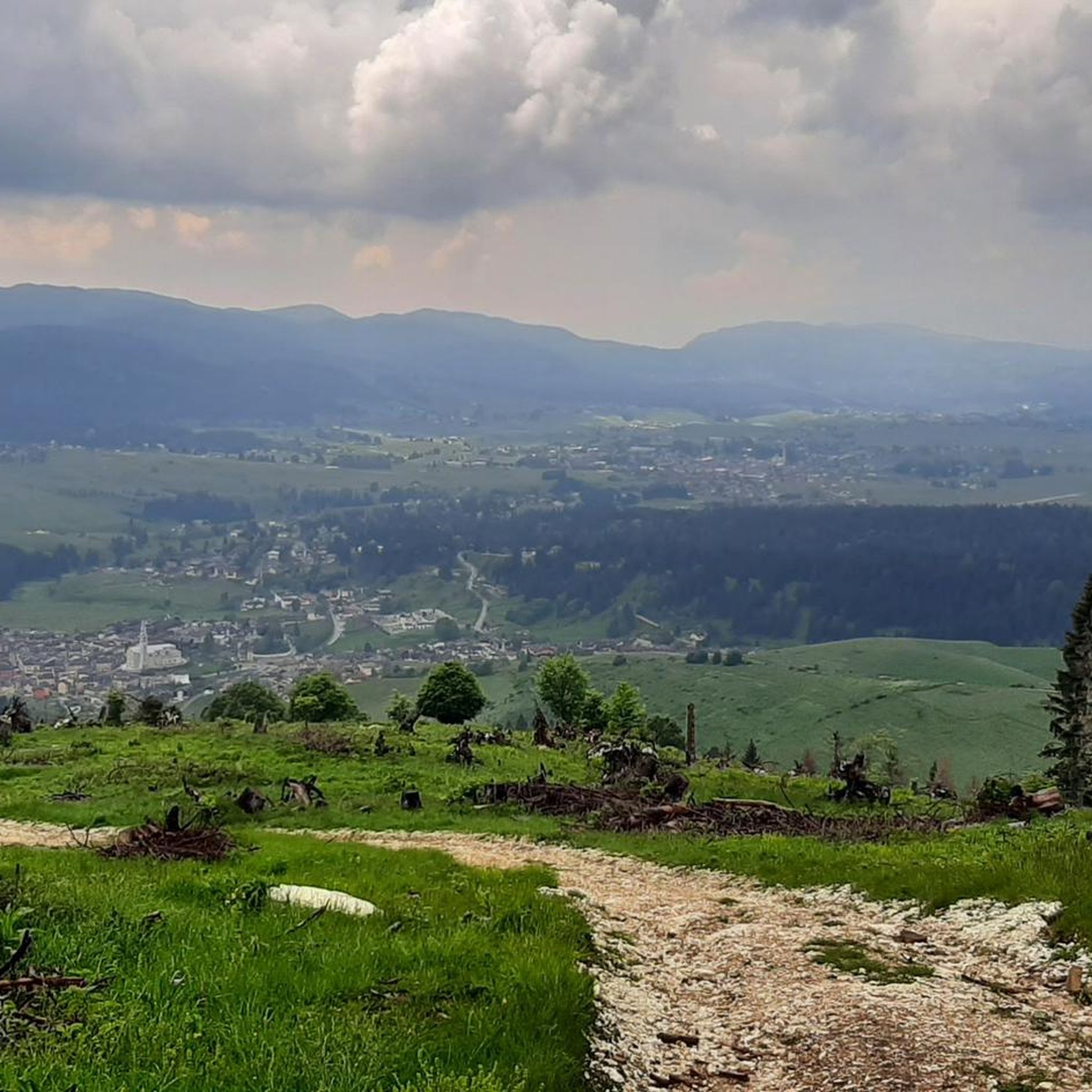
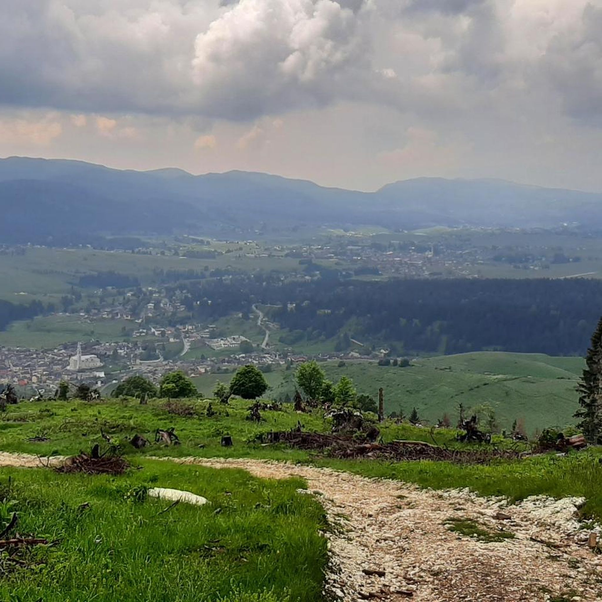
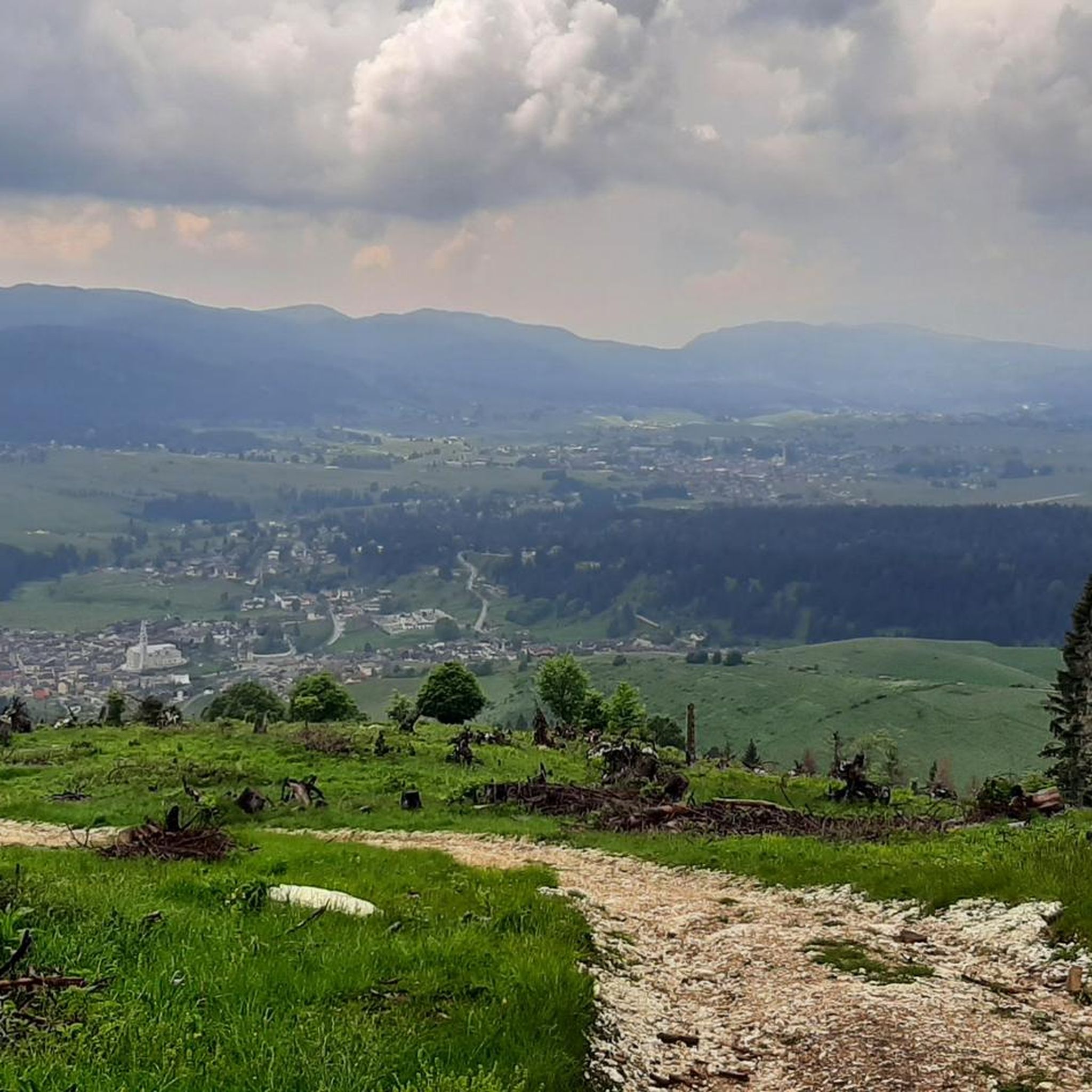
Mount Caina (1,002 m) is a splendid panoramic balcony, thanks to its privileged and unique location, right on the southeastern corner of the Asiago Plateau. It offers a sweeping view of the entire Po Valley, from the Lessini Mountains to the Upper Adriatic. In the foreground is Bassano and the entrance to the Brenta Valley. To the left, the vertical, rocky western slope of the Grappa massif, with the profile of the Shrine atop it. On clear days, you can clearly see Venice itself, and even the bell tower of St. Mark's Basilica!

The site is meticulously maintained: a green lawn, a cross, an Italian flag, a black statue dedicated to Our Lady of Fatima, benches, and—the icing on the cake—a powerful pair of binoculars (free) for hunting for details and places, both well-known and lesser-known!

번역자 Google •

에 의해

저장

몬테 오르티가라 기념비

하이라이트 • 기념물

Scene of one of the most dramatic and bloody episodes of the Great War: between June 10 and 29, 1917, thousands of Italian soldiers were hurled en masse to conquer Mount Ortigara, from the steep eastern slope, toward certain death. The Austro-Hungarians, in a clearly favorable position, decimated the attackers with machine guns, gas, and flamethrowers. A needless massacre of 28,000 Italian soldiers and 9,000 Imperial soldiers.

Since those tragic events, the mountain has been nicknamed "the Calvary of the Alpine Troops." The first National Alpine Rally took place here in 1920. In 1967, the entire area was recognized as a "Sacred Zone to the Fatherland," for the futile sacrifice made and as a lasting reminder "not to forget."

it.wikipedia.org/wiki/Monte_Ortigara
it.wikipedia.org/wiki/Battaglia_del_monte_Ortigara

번역자 Google •

에 의해

저장

몬테 피오르

하이라이트 • 정상

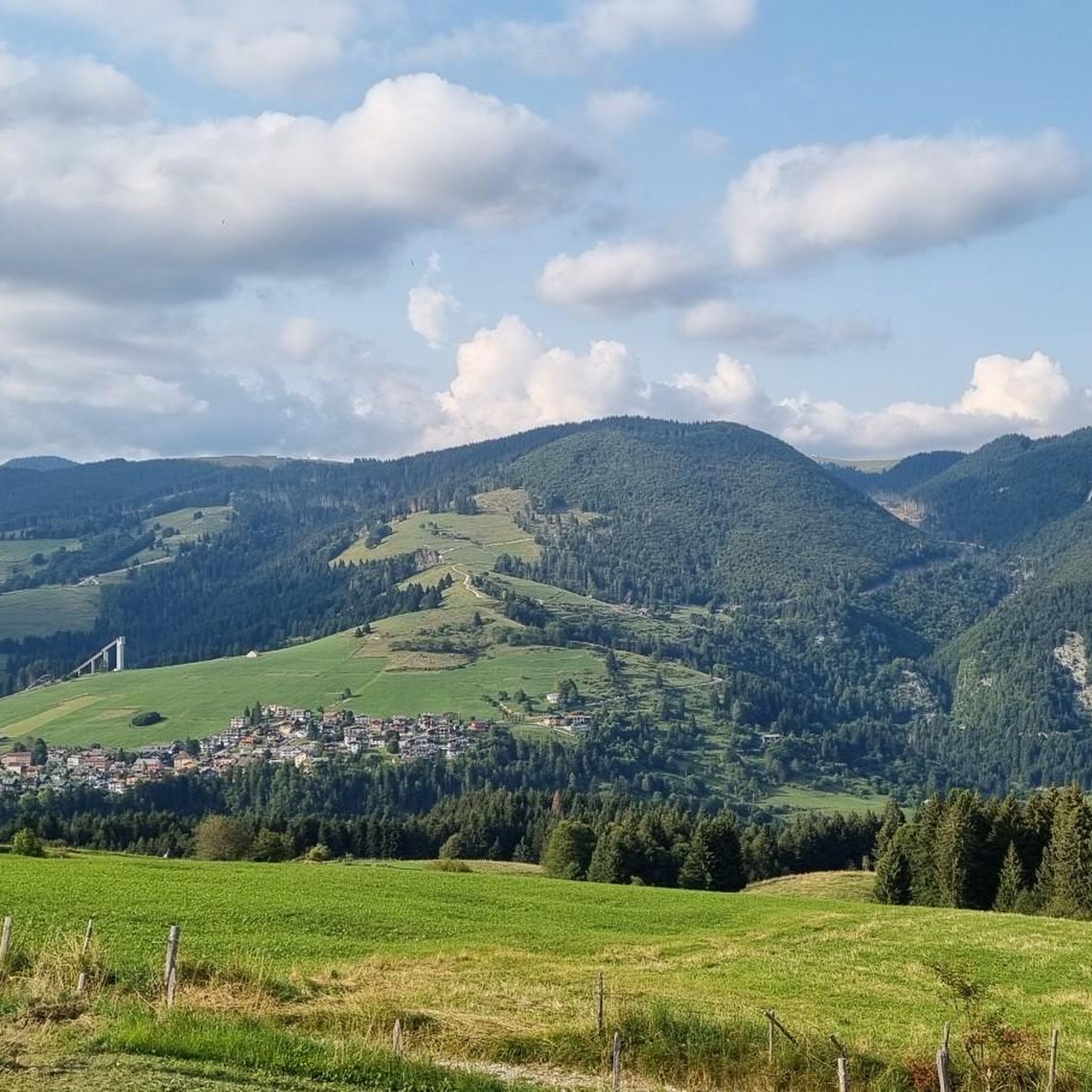
Mount Fior is a 1,824 m high mountain in the Alps and is located in the central part of the Sette Comuni plateau, on the Melette mountain group, in the province of Vicenza.
more information: it.wikipedia.org/wiki/Monte_Fior

번역자 Google •

에 의해

저장

무료로 가입하여 갈리오 주변의 더 많은 봉우리를 발견하세요.

무료 회원 가입

이미 komoot 계정이 있나요?

오늘 무료 계정으로 시작하세요

다음 모험이 기다리고 있어요.

로그인 또는 가입하기

갈리오 주변 인기 장소

Via delle Prealpi – 베네토 선알프스에서 MTB를 타고 가다

고고의 이탈리아 평원을 건너는 - 아시아고 루프 바이크패킹

갈리오 하이킹

갈리오 MTB 트레일

갈리오 로드 사이클링 경로

갈리오 사이클링

갈리오 러닝 트레일

갈리오 주변 그래블 라이딩

갈리오 등산

갈리오 주변의 다른 모험

Via delle Prealpi – 베네토 선알프스에서 MTB를 타고 가다

산악자전거 라이딩 컬렉션 에 의해

Francesco | Cyclo Ergo Sum

커뮤니티 팁

Manuel
12월 13, 2025, Forte Interrotto

Fantastic

번역: Google

0

0

The summit is easily reachable with good training, the path is never dangerous or exposed, if you continue the tour towards Cima Larici you must pay close attention to the steep descent

번역: Google

0

0

Eric Cenzon
5월 9, 2025, Monte Fior

One of the few places on the plateau with a view both of the inhabited part with the presence of the various villages, Asiago in the lead, and towards the north with all the mountains that delimit the plateau (Cima 12, Otigara, Portule....). In addition to Grappa, Lagorai, Pasubio....

번역: Google

2

0

It is a defensive military barracks built in the second half of the 19th century, entirely in stone, which overlooks the town of Camporovere and dominates the entire central basin of the Plateau. From a historical point of view, the Forte Interrotto represents a completely exceptional case. It was in fact born from a military architecture project that still followed late medieval canons, recognizable in the 6 gigantic central arches and in the imposing lateral bastions with 115 positions for riflemen. In 1916 it was occupied by the Austro-Hungarians and transformed into a stronghold of the imperial line.

번역: Google

1

0

Crazy view on the Bassano valley

번역: Google

1

1

Bepin
7월 7, 2024, Forte Interrotto

the interrupted fort is located along the itinerary of the 5 cemeteries starting from Camporovere,

번역: Google

0

0

Bepin
6월 17, 2024, Forte Interrotto

Itinerary suitable for families

번역: Google

1

0

Beautiful view of Camporovere and Asiago, excellent at sunset in summer

번역: Google

2

0

갈리오 주변에서 가장 인기 있는 경로

갈리오 하이킹

갈리오 주변에서 가장 인기 있는 명소

Places to see

Store rating

komoot 모바일 앱으로 영감을 받아보세요

무료 komoot 계정로 끝없는 야외 모험을 손쉽게 찾고, 맞춤 설정하며 길안내할 수 있어요.

또는

지금 komoot에 가입하세요

Store rating

더 살펴보기

이 가이드를 통해 갈리오 주변의 더 놀라운 정상들을 확인해보세요:

발다스티코로아나로초아시아고포시나스키오페데몬테레코아로 테르메발리 델 파수비오아르시에로라기벨로 다스티코코골로 델 센지오토네짜 델 치모네발스타냐에네고칼트라노크레스파도로산토르소라스테바스토레벨비치노아굴리아로알베톤산 나사리오솔라냐피오벤 로케트시스몬 델 그라파노벤타 비센티나캄폴롱고 술 브렌타포자무솔렌테바사노 델 그라파로마노 데젤리노포베 델 그라파루고 디 비첸차발다뇨마라노 비센티노알티시모산 비토 디 레구사노캄필리아 데이 베리치콩코칼베네자네카레치우파노난토바르바라노 비센티노루시아나모사노몬테갈다말로빌라가몬테갈델라카스테그네로몬테 디 말로코르네도 비센티노소사노줄리아노Sic Altopiano Dei Sette Comuni산 피에트로 무솔리노노가롤 비센티노포자나 마조레마로스티카치암포브로글리아노살세도티에네트리시노파라 비센티노카스텔곰베르토이솔라 비센티나롱가어사르세도카솔라몬테키오 마조레그란코나아르쿠냐노조벤도오르지아노산 게르마노 데이 베리치몬테벨로 비센티노브렌돌라

근처 어드벤처 가이드

아시아고 즐길거리

background

새로운 정복을 위한 준비를 하세요

무료로 가입하기

탐험하기
경로경로 플래너기능하이킹MTB 트레일로드 사이클링 경로바이크패킹사이트맵
앱 다운로드
소셜 미디어에서 팔로우하기

© komoot GmbH

개인 정보 보호 정책