발다뇨에서 가장 멋진 20개의 산 정상
발다뇨의 산 정상에 오르면 이 지역의 아름다운 모습을 제대로 구경할 수 있어요. 다만, 20
곳이나 되는 산 정상 중에서 어떤 곳을 가야 할 지 고민된다는 게 문제죠. 발다뇨에서 가장 멋진 산 정상을 살펴본 후에 마음에 드는 산 정상을 다음 모험 계획에 추가해보세요.
마지막 업데이트: 10월 17, 2026
몬테 노베뇨 정상 십자가
하이라이트 • 정상
let yourself be captivated by the immense beauty that this trek will give you.
번역자 Google •
팁에 의해

몬테 치빌리나 정상과 제1차 세계대전 방어 시설
하이라이트 • 정상
번역자 Google •
팁에 의해

이런 장소를 발견하려면 지금 가입하세요
최고의 싱글 트랙, 봉우리 및 다양한 흥미로운 야외 장소에 대한 추천을 받아보세요.


오늘 무료 계정으로 시작하세요
다음 모험이 기다리고 있어요.

커뮤니티 팁

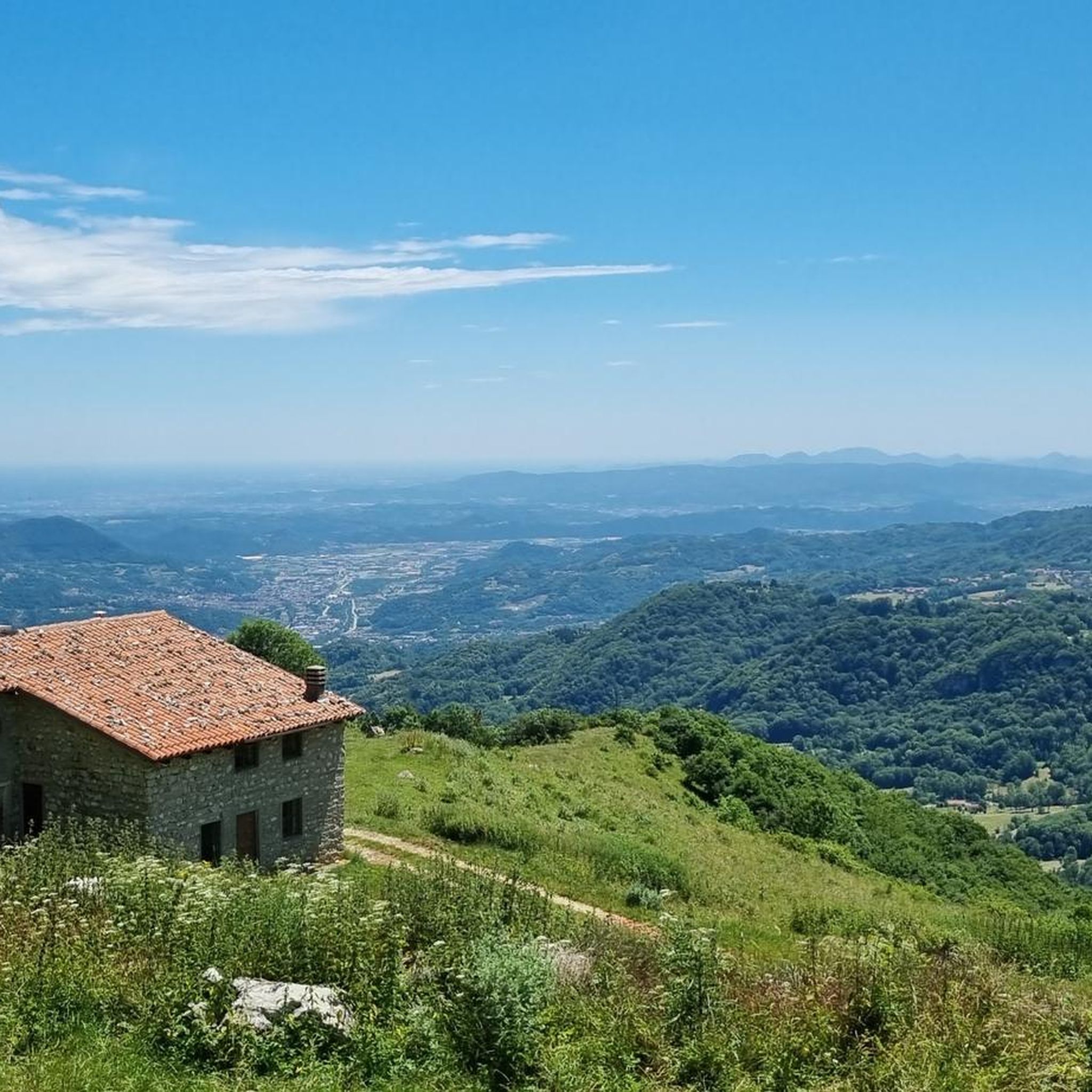
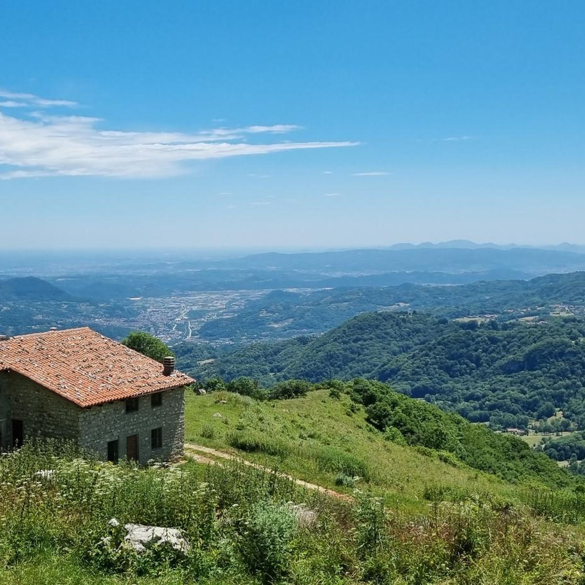
자전거로도 접근 가능합니다! Busa Novegno의 멋진 전망을 제공합니다.
1
0

Mount Zèvola (1,976 m) is the highest peak in the Tre Cime mountain chain, one of the mountain groups of the Little Dolomites (the Tre Croci chain, the Carega Group, the Sengio Alto chain, and the Pasubio Massif). The summit is actually divided in two by the deep Vajo dell'Acqua: Zevola Alta (1,976 m) and Zevola Bassa or Antecima (1,961 m), with the cross. From up here, you can enjoy a stunning 360° panorama: on one side, there's an excellent view of Carega and Pasubio, and on the other, the entire Lessinia plateau. The climb from Passo Zevola is short but steep.
0
0
From Monte Gramolòn (1,814 m), you have a breathtaking 360° view of the Piccole Dolomiti, the Sentiero dei Grandi Alberi trail below, and, on the opposite side, the Lessinia mountains! The climb from Passo Ristele (to the north) is short but steep, and breathtaking! From Passo della Scagina (to the south), it's even steeper and more technical, EE, with frequent switchbacks that ascend a deep gully: very evocative. On this side, there are also the Angelo Viali and Ferrari via ferratas. The summit, with its cross, touches a spectacular but exposed ridgeline over the precipice, so be careful and avoid leaning out. The toponym derives from the dialect verb 'sgramolare', meaning to break into lumps: therefore, 'Gramolon' means the mountain that crumbles, due to subsidence and scree!
0
0

Cima di Monte Rione. 1691 meters above sea level. From this peak you can enjoy a splendid 360-degree view of all the surrounding peaks.
0
0

Panorama of the Po Valley, the Pale di San Martino, the Vette Feltrine, Mount Grappa to the east and the Carega group, Piccole Dolomiti and Pasubio group to the west
0
0

Gramolon can be reached not only by paths but also by the short but intense Ferrari via ferrata.
0
0

Mount Gramolon can be reached by various itineraries, the most convenient from the Bertagnoli refuge.
0
0
The summit of Civillina is wide, grassy and very panoramic with a wide view of the Vicenza and Trentino Prealps, today unfortunately covered by clouds and mist. There are also numerous trenches and other very well preserved or recovered war artefacts. Finally, congratulations for the comprehensive explanations posted on numerous information panels along the entire itinerary.
0
0


더 살펴보기
이 가이드를 통해 발다뇨 주변의 더 놀라운 정상들을 확인해보세요:
