살세도에서 가장 멋진 8개의 산 정상
살세도의 산 정상에 오르면 이 지역의 아름다운 모습을 제대로 구경할 수 있어요. 다만, 8
곳이나 되는 산 정상 중에서 어떤 곳을 가야 할 지 고민된다는 게 문제죠. 살세도에서 가장 멋진 산 정상을 살펴본 후에 마음에 드는 산 정상을 다음 모험 계획에 추가해보세요.
마지막 업데이트: 8월 25, 2026
Col d'Astiago
하이라이트 • 산악 고개
번역자 Google •
팁에 의해

Monte Lèmerle — 제1차 세계대전
하이라이트 • 역사적 장소
번역자 Google •
팁에 의해

이런 장소를 발견하려면 지금 가입하세요
최고의 싱글 트랙, 봉우리 및 다양한 흥미로운 야외 장소에 대한 추천을 받아보세요.
무료 회원 가입
몬테 파우(또는 치마 델 갈로)
하이라이트 • 정상
번역자 Google •
팁에 의해
보케타 파우 전망대
하이라이트 • 전망대
번역자 Google •
팁에 의해

오늘 무료 계정으로 시작하세요
다음 모험이 기다리고 있어요.
로그인 또는 가입하기
커뮤니티 팁

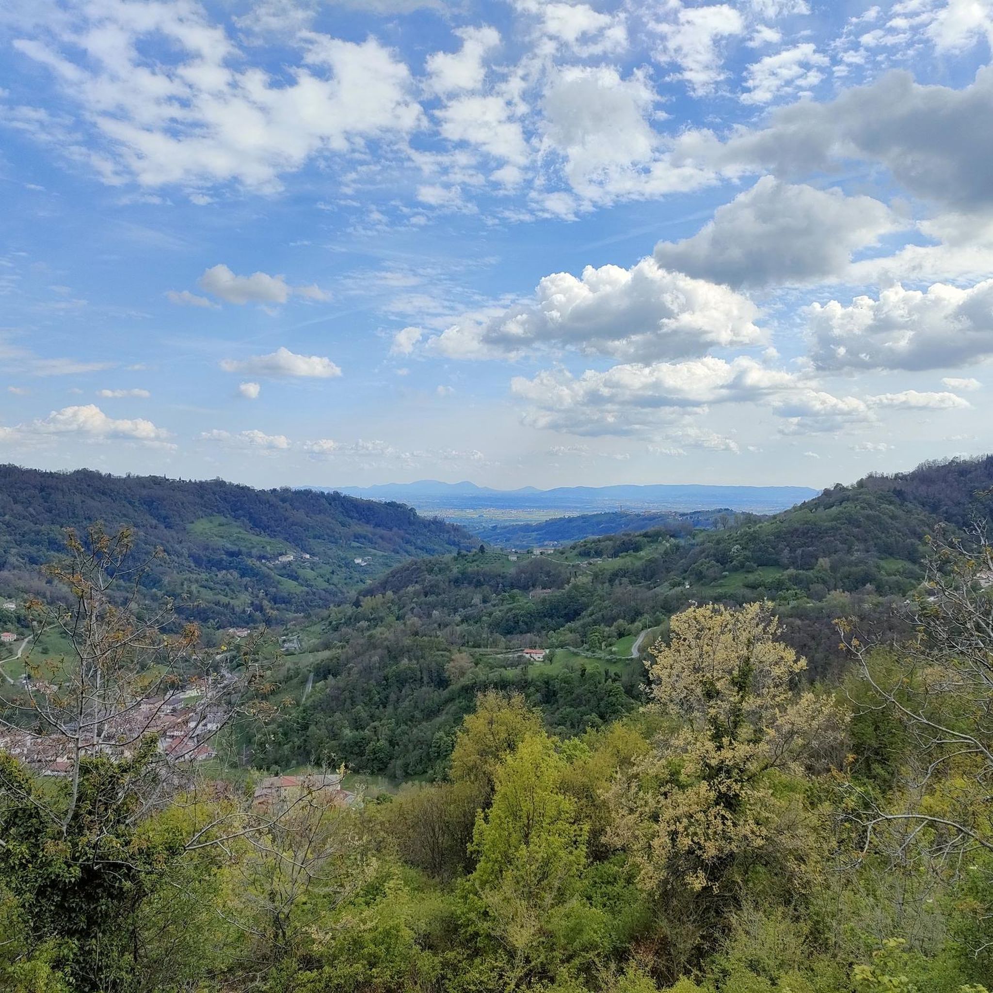
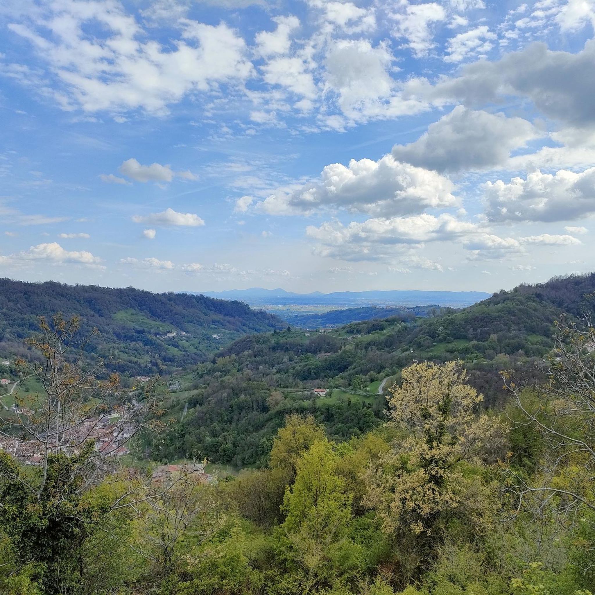
Col d'Asiago offers a beautiful and privileged panoramic point on the underlying Canale del Brenta, or the narrow and deep terminal part of Valsugana. But the view extends over the Asiago Plateau and the entire skyline of mountains that border it to the north, the Grappa Massif to the east and the mouth of Val Brenta. In the distance, the Piccole Dolomiti, the Pale di San Martino and the Vette Feltrine. Precisely because of its strategic position, during the First World War it was a strongly armed Italian defensive bastion and decisive in various phases of the conflict. The peak is also known locally by the ancient and dialect toponym 'Col del S-ciavo', dating back to the time of the Serenissima: on the slopes of the hill in fact the 'schiavoni' (i.e. the non-Latin inhabitants of the dominions of Dalmatia and the Venetian hinterland) cut wood for the naval fleet; the trunks (especially beech trees) were lowered down the valley through the famous and nearby Calà del Sasso; they were then loaded onto rafts that went down the entire Brenta, until they reached the lagoon and the Arsenale of Venice. A large concrete cistern dominates the summit, collecting the water pumped from the Oliero Caves, 1000m further downstream, and distributing it to the Plateau.
0
0


The summit of Monte Paù (or Cima del Gallo) is reached via an exposed, but wide and safe ledge (former military mule track), then climbing between the rocks and following a short trail in the woods. The rocky promontory hosts a small 'capital' with a Madonna: it is very exposed to the valley, without protection, offering a spectacular view of the plain, of Monte Summano in the foreground, of the lower Val d'Astico, of Cengio and of the Costo road. Below the summit, Italian artefacts from the Great War: a tunnel, rock shelters, artillery positions... the ledge itself is a military mule track. This southern edge of the Plateau - although it was never directly involved in the conflict, which stopped at the Lèmerle and Zovetto mountains - had been fortified as a possible line of maximum resistance, to defend the plain.
4
0
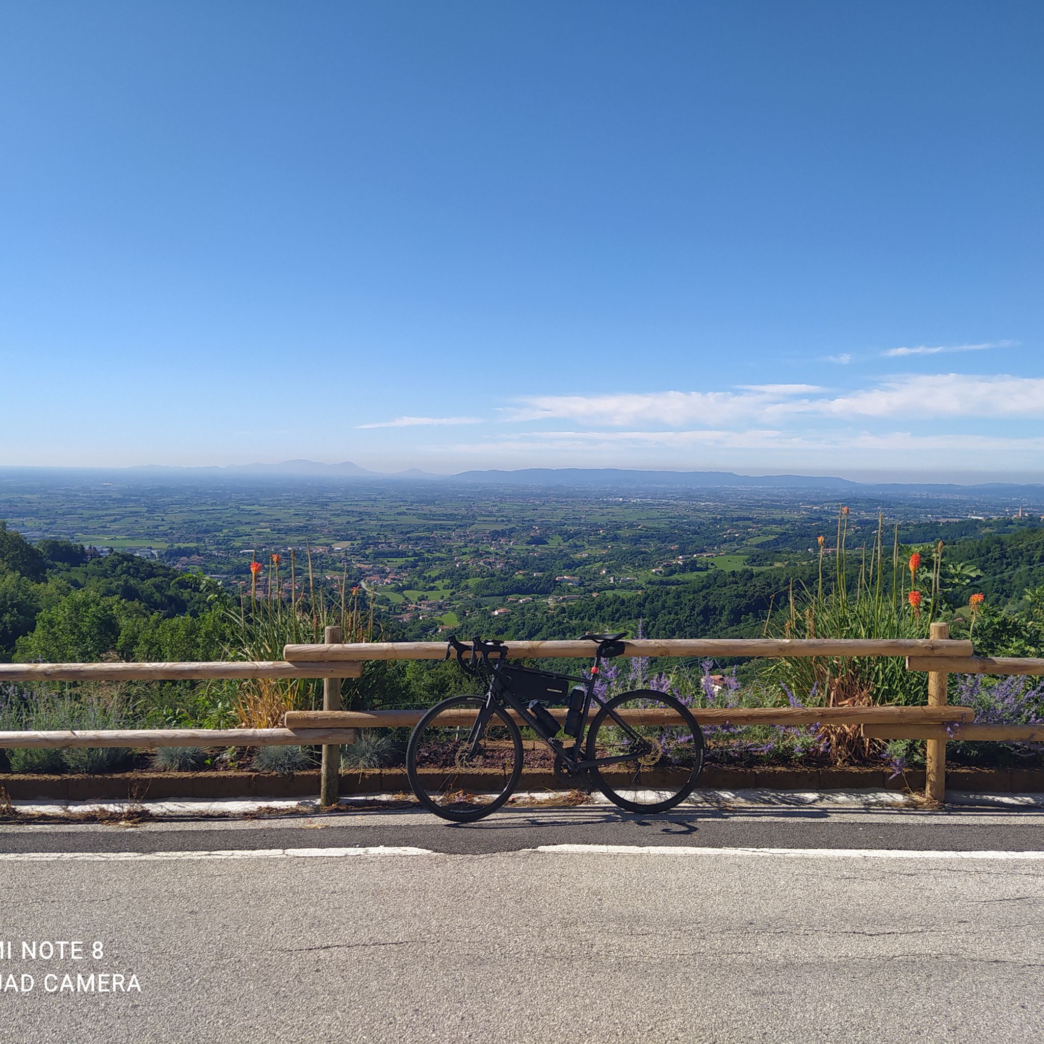
Bocchetta Paù (1,286 m) is a small pass between Monte Paù and Cima Fàvaro, featuring a bucolic pasture with a grazing pond surrounded by woods. From the rocky promontory on the edge of the plateau, you can enjoy a spectacular and expansive view of the Veneto plain, the Astico Valley, and the Piccole Dolomiti (with neighboring Summano in the foreground). Interesting fact: the metal shrine on the rock is nicknamed the "Madonnina dei Sauerkraut" (Little Madonna of the Sauerkraut), because it was commissioned as a votive offering after a narrow escape by Mr. Zuccato, owner of the well-known Vicenza-based sauerkraut company of the same name!
3
1

Col d'Astiago is located in the south-eastern sector of the Asiago plateau. Wide panorama of the Brenta and towards Monte Grappa. Here is the pumping station of the aqueduct that brings water from the Oliero caves to the plateau.
3
0
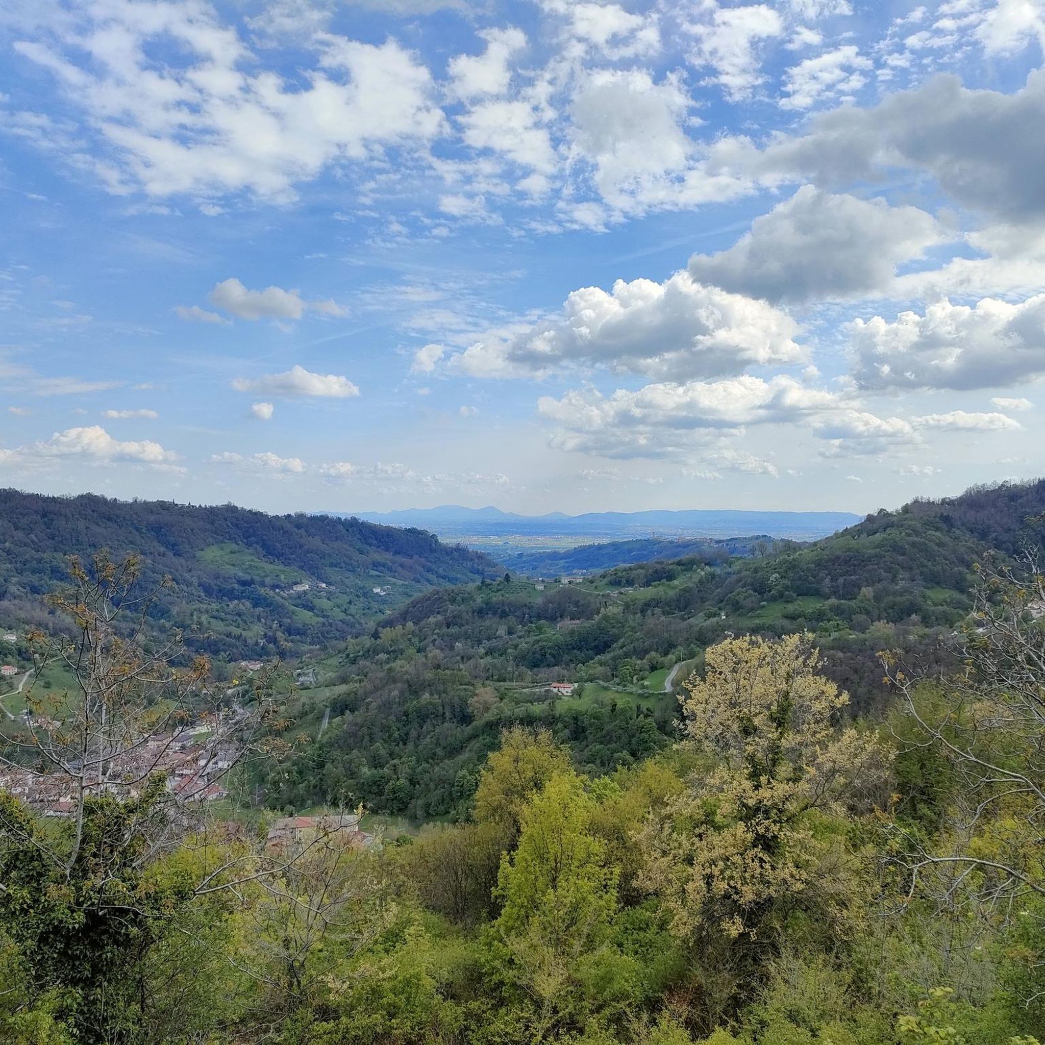
From the wide plain of Monte Zovetta, a habitual grazing area, you can enjoy a beautiful panorama over the entire Asiago basin and the entire skyline of its northern mountain crown. Monte Zovetto was, together with nearby Monte Lemerle and the Val Magnaboschi that separates them, the extreme defensive line of the Po Valley against the attempted breakthrough by the Austro-Hungarian army in two bloody battles: in 1916, with the Italian army to resist the Strafexpedition offensive; in 1918, with the British allied army arriving on the spot to contain a last attempt to break through, with the battle of the Solstice. https://www.storiaememoriadibologna.it/monte-lemerle-monte-zovetto-monte-magnaboschi-3580-place
0
0
Mount Lèmerle, along with nearby Mount Zovetto and the Magnaboschi Valley that separates them, held great historical significance during the First World War, as the scene of two distinct and bloody battles. In the first battle, in June 1916, the Italian army managed to hold off the advancing Austro-Hungarian army for 10 days, which, with the Strafexpedition, was attempting to break through and invade the nearby Veneto plain. The second battle, the Battle of the Solstice, took place in June 1918: this time it was the British troops, who arrived in the spring to garrison and fortify the area in support of their Italian allies, who countered the last desperate attack of the imperial forces. Today, the mountain's summit is covered in a dense and beautiful forest of tall spruce trees, but during the Great War, Italian engineers had cleared the view to control the entire Asiago basin. On the slopes of the mountain, in 2016, the remains of an unknown Italian soldier and an Austro-Hungarian soldier who fell nearby were accidentally discovered. https://www.storiaememoriadibologna.it/monte-lemerle-monte-zovetto-monte-magnaboschi-3580-luogo
0
0


더 살펴보기
이 가이드를 통해 살세도 주변의 더 놀라운 정상들을 확인해보세요:
