경로

플래너

기능

업데이트

App

로그인 또는 가입

앱 다운로드

로그인 또는 가입

로그인 또는 가입

경로
Places to see
Mountain Peaks
이탈리아
베네토
비첸차

아르시에로

아르시에로‬에서 가장 멋진 ‪20‬개의 산 정상


아르시에로의 산 정상에 오르면 이 지역의 아름다운 모습을 제대로 구경할 수 있어요. 다만, 20
곳이나 되는 산 정상 중에서 어떤 곳을 가야 할 지 고민된다는 게 문제죠. 아르시에로에서 가장 멋진 산 정상을 살펴본 후에 마음에 드는 산 정상을 다음 모험 계획에 추가해보세요.

마지막 업데이트: 5월 10, 2026

몬테 마조 정상 십자가

하이라이트 • 정상

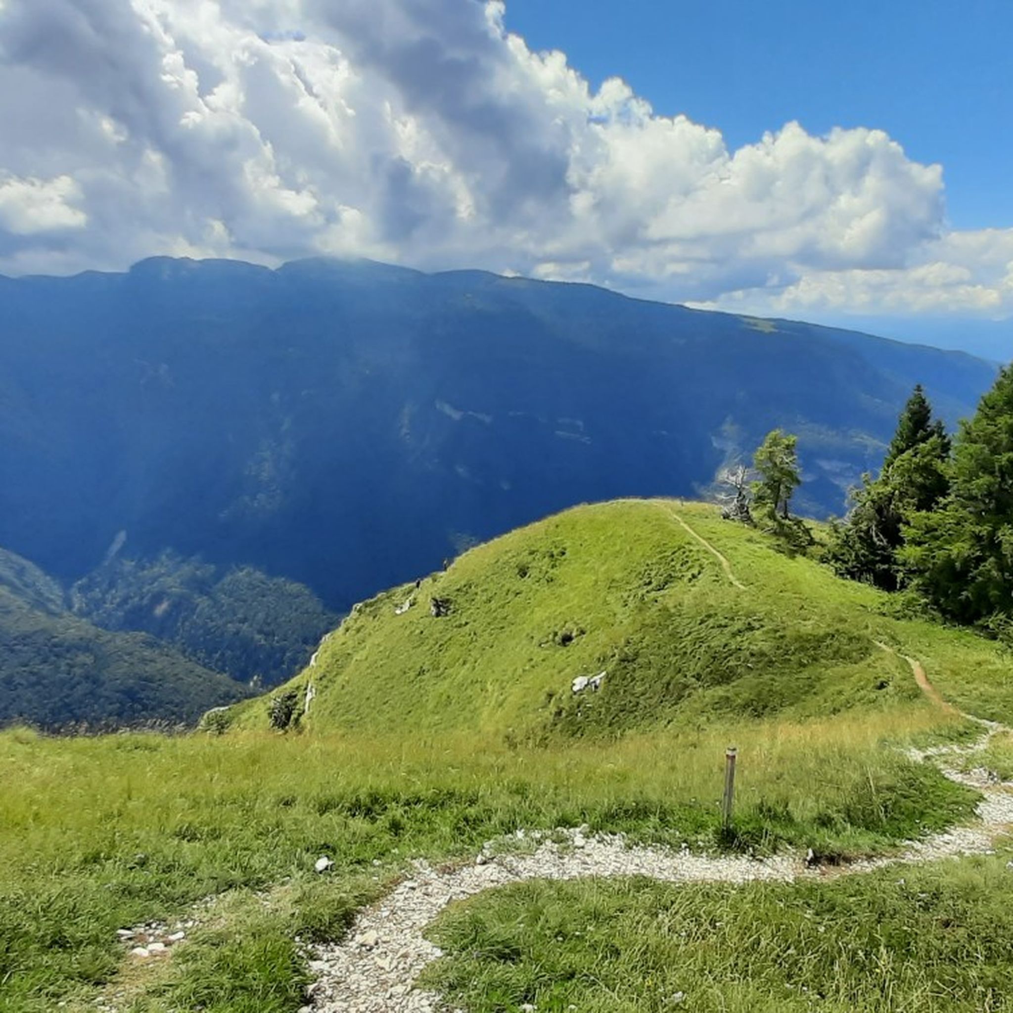
Starting from the small lake of Passo Coe, a gentle, constant and never demanding climb towards Monte Maggio via military mule track.
360 * panorama once you reach the top.

번역자 Google •

에 의해

하이킹 보기

휴대폰으로 전송

저장

수마노 정상 십자가

하이라이트 • 정상

A place that enjoys a wonderful view over the whole valley and the surrounding peaks.
The ideal place for a nice trekking in the name of relaxation and fun.

번역자 Google •

에 의해

저장

이런 장소를 발견하려면 지금 가입하세요

최고의 싱글 트랙, 봉우리 및 다양한 흥미로운 야외 장소에 대한 추천을 받아보세요.

무료 회원 가입

몬테 첸지오

하이라이트 • 정상

A beautiful view of the valley.

번역자 Google •

에 의해

저장

치마 팔론

하이라이트 • 정상

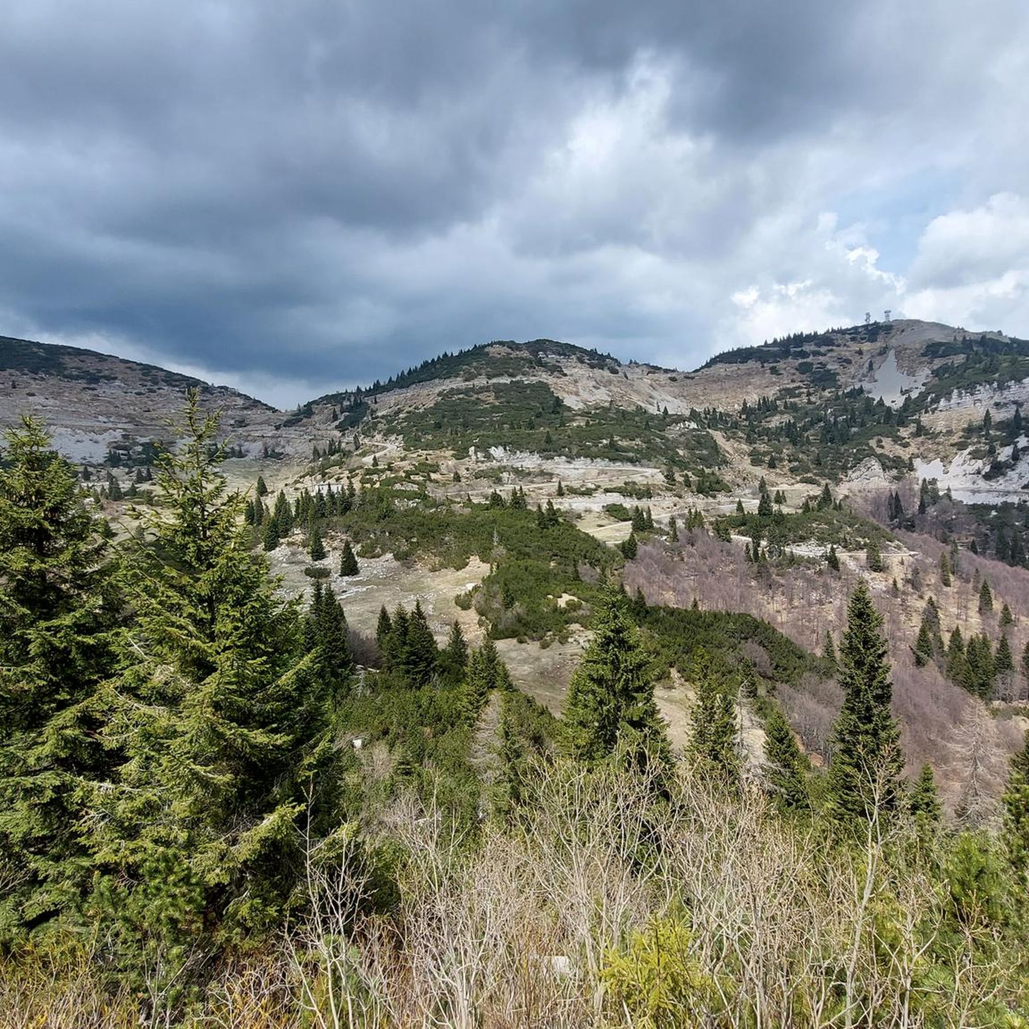
Located at an altitude of 2,232 meters above sea level, Cima Palon is the highest peak in the Pasubio massif, in the Vicenza Pre-Alps. It was also a very important …

번역자 Google •

에 의해

저장

덴테 이탈리아노

하이라이트 • 정상

Beautiful place marked by the labors of our poor soldiers ..

번역자 Google •

에 의해

저장

무료로 가입하여 아르시에로 주변의 더 많은 봉우리를 발견하세요.

무료 회원 가입

이미 komoot 계정이 있나요?

오늘 무료 계정으로 시작하세요

다음 모험이 기다리고 있어요.
로그인 또는 가입하기

아르시에로 주변 인기 장소

Via delle Prealpi – 베네토 선알프스에서 MTB를 타고 가다

아르시에로 하이킹

아르시에로 로드 사이클링 경로

아르시에로 사이클링

아르시에로 MTB 트레일

아르시에로 주변 그래블 라이딩

아르시에로 러닝 트레일

아르시에로 등산

아르시에로 주변의 다른 모험

Via delle Prealpi – 베네토 선알프스에서 MTB를 타고 가다

산악자전거 라이딩 컬렉션 에 의해

Francesco | Cyclo Ergo Sum

커뮤니티 팁

Daniele
10월 12, 2025, Cima Palon

Be very careful if you want to enter the underground tunnels.

번역: Google

0

0

DO NOT GO UP TO MONTE MAGGIO BY THE TRACK ⚠️ but take the dirt road from Passo Coe, changing the track👍

번역: Google

1

0

This sacred place is part of our history

번역: Google

0

0

Beautiful trek for lovers of historical trekking

번역: Google

0

0

Thomas
7월 17, 2025, Cima Palon

Dente Italiano, immersed in the history of our country.

번역: Google

0

0

The ancient history of this beautiful panoramic peak.

번역: Google

0

0

very panoramic peak on the plain

번역: Google

0

0

A. 🐺
12월 8, 2024, Dente Italiano

The Dente Italiano and the Dente Austriaco are two rocky towers of equal altitude facing each other, separated by a saddle but sadly united by history: during the First World War, they were the point on Pasubio where enemy lines were closest. With the Strafexpedition of 1916, the imperial army reached the Dente Austriaco, but was blocked by royal troops who had arrived on the Dente Italiano. A grueling and bloody standoff began, with several attempts to break through, all in vain. The impending winter prevented further fighting, and both sides began to fortify their positions and make them more livable... In the Dente Italiano, the Army Corps of Engineers created a veritable underground citadel. It could accommodate 500 men, with all the necessary means of subsistence: shelters, storage facilities, a cistern for drinking water, a generator for lighting, dressing stations, and command posts. The armament consisted of five machine guns, two cannons, and one flamethrower, supported by artillery from the nearby Palon and Cogolo Alto peaks. In contrast, the Austrian Tooth was transformed into an impregnable fortress, thanks to its elongated, square shape, with fire on three sides. There were 10 machine gun emplacements and six artillery emplacements in the cave, complemented by the armament arrayed along the trenches at the summit: 18 grenade launchers, 12 grenade launchers, four flamethrowers, five cannons, and 10 machine guns. Here, too, the bowels of the mountain housed the troops with all the logistical and survival equipment: shelters, storage facilities, lighting, ventilation, a cistern, a telephone exchange, searchlights, etc. Faced with the impossibility of advancing, both commands believed the only solution was to blow up the enemy stronghold from the ground up: thus began the war of mines and countermines, with a dense network of underground tunnels. Between the autumn of 1917 and the spring of 1918, there were 10 explosions, five Austrian and five Italian, until the gigantic 50-ton Austrian dynamite charge on March 13, 1918, which shattered the northern slope of the Dente Italiano, altering its morphology and causing casualties on both sides. After years of war and thousands of deaths, the great war on Pasubio ended with the front line virtually unchanged! To pass between the two Denti, one passes through the chasm created by the mine, amidst enormous boulders and debris: impressive.

번역: Google

0

0

아르시에로 주변에서 가장 인기 있는 경로

아르시에로 하이킹

아르시에로 주변에서 가장 인기 있는 명소

Places to see

Store rating

komoot 모바일 앱으로 영감을 받아보세요

무료 komoot 계정로 끝없는 야외 모험을 손쉽게 찾고, 맞춤 설정하며 길안내할 수 있어요.

또는

지금 komoot에 가입하세요

Store rating

더 살펴보기

이 가이드를 통해 아르시에로 주변의 더 놀라운 정상들을 확인해보세요:

발다스티코페데몬테로초포시나크레스파도로스키오발리 델 파수비오아시아고에네고로아나라기벨로 다스티코발스타냐토네짜 델 치모네레코아로 테르메바사노 델 그라파칼트라노코골로 델 센지오캄폴롱고 술 브렌타솔라냐시스몬 델 그라파산 나사리오산토르소토레벨비치노무솔렌테갈리오피오벤 로케트로마노 데젤리노포베 델 그라파알베톤발다뇨포자아굴리아로라스테바스노벤타 비센티나칼베네캄필리아 데이 베리치루고 디 비첸차루시아나산 비토 디 레구사노마라노 비센티노알티시모바르바라노 비센티노난토콩코모사노소사노카레치우파노자네말로빌라가몬테갈델라코르네도 비센티노몬테 디 말로줄리아노몬테갈다노가롤 비센티노카스테그네로산 피에트로 무솔리노포자나 마조레티에네치암포Sic Altopiano Dei Sette Comuni마로스티카살세도브로글리아노파라 비센티노트리시노조벤도아르쿠냐노이솔라 비센티나카스텔곰베르토롱가어사르세도카솔라몬테키오 마조레그란코나산 게르마노 데이 베리치오르지아노몬테벨로 비센티노

근처 어드벤처 가이드

토네짜 델 치모네 즐길거리

background

새로운 정복을 위한 준비를 하세요

무료로 가입하기

탐험하기
경로경로 플래너기능하이킹MTB 트레일로드 사이클링 경로바이크패킹사이트맵
앱 다운로드
소셜 미디어에서 팔로우하기

© komoot GmbH

개인 정보 보호 정책