콜자트 최고의 러닝 경로
4.4
(107)
7,572
달리기 하는 사람
274
러닝
조깅 코스는 콜차테 주변의 발세리아나(Valseriana)와 발 디 스칼베(Val di Scalve) 지역의 다양한 풍경을 제공합니다. 이 지역은 세리오 강(Serio River)을 따라 흐르는 강변 길과 오로비 알프스(Orobie Alps)로 이어지는 더 힘든 산악 오르막길이 혼합된 지형을 특징으로 합니다. 이 지역은 완만하고 접근하기 쉬운 코스부터 상당한 고도 변화가 있는 도전적인 트레일까지 다양한 경험을 제공합니다. 이 지역의 지리는 강 계곡과 주변 봉우리들로 특징지어집니다.
콜차테 주변 최고의 조깅 코스
- 가장 인기 있는 조깅 코스는 콜차테에서 출발하는 리푸르지오 파라풀미네 – 알페 몬타니나 루프(Rifugio Parafulmine – Alpe Montagnina…
마지막 업데이트: 8월 29, 2026
79
달리기 하는 사람
31.6km
04:44
1,420m
1,420m
어려운 조깅. 우수한 체력 필요. 튼튼한 신발을 신고 미끄러지지 않게 조심해야 하며, 높은 산을 오른 경험이 있어야 함.
107
달리기 하는 사람
10.3km
01:04
70m
70m
보통 조깅. 좋은 체력 필요. 대부분 포장된 지면. 실력과 관계없이 누구나 갈 수 있음.

무료 회원 가입
38
달리기 하는 사람
11.8km
01:15
150m
150m
보통 조깅. 좋은 체력 필요. 대부분 포장된 지면. 실력과 관계없이 누구나 갈 수 있음.
5.0
(1)
42
달리기 하는 사람
23.0km
03:58
1,390m
1,390m
어려운 조깅. 우수한 체력 필요. 튼튼한 신발을 신고 미끄러지지 않게 조심해야 하며, 높은 산을 오른 경험이 있어야 함.
39
달리기 하는 사람
7.75km
01:11
360m
360m
어려운 조깅. 우수한 체력 필요. 튼튼한 신발을 신고 미끄러지지 않게 조심해야 하며, 높은 산을 오른 경험이 있어야 함.
더 다양한 경로와 다른 탐험가들의 추천을 살펴보세요.
무료 회원 가입
이미 komoot 계정이 있나요?
투어 추천은 다른 사람들이 komoot에서 완료한 수천 개의 활동을 바탕으로 구성되어 있습니다.
오늘 무료 계정으로 시작하세요
다음 모험이 기다리고 있어요.
로그인 또는 가입하기


커뮤니티 팁

자동판매기에서 음료와 간식을 구입할 수 있습니다. 짧은 휴식에 최적입니다. 팁: 꼭 잔돈을 챙겨오세요.
0
0

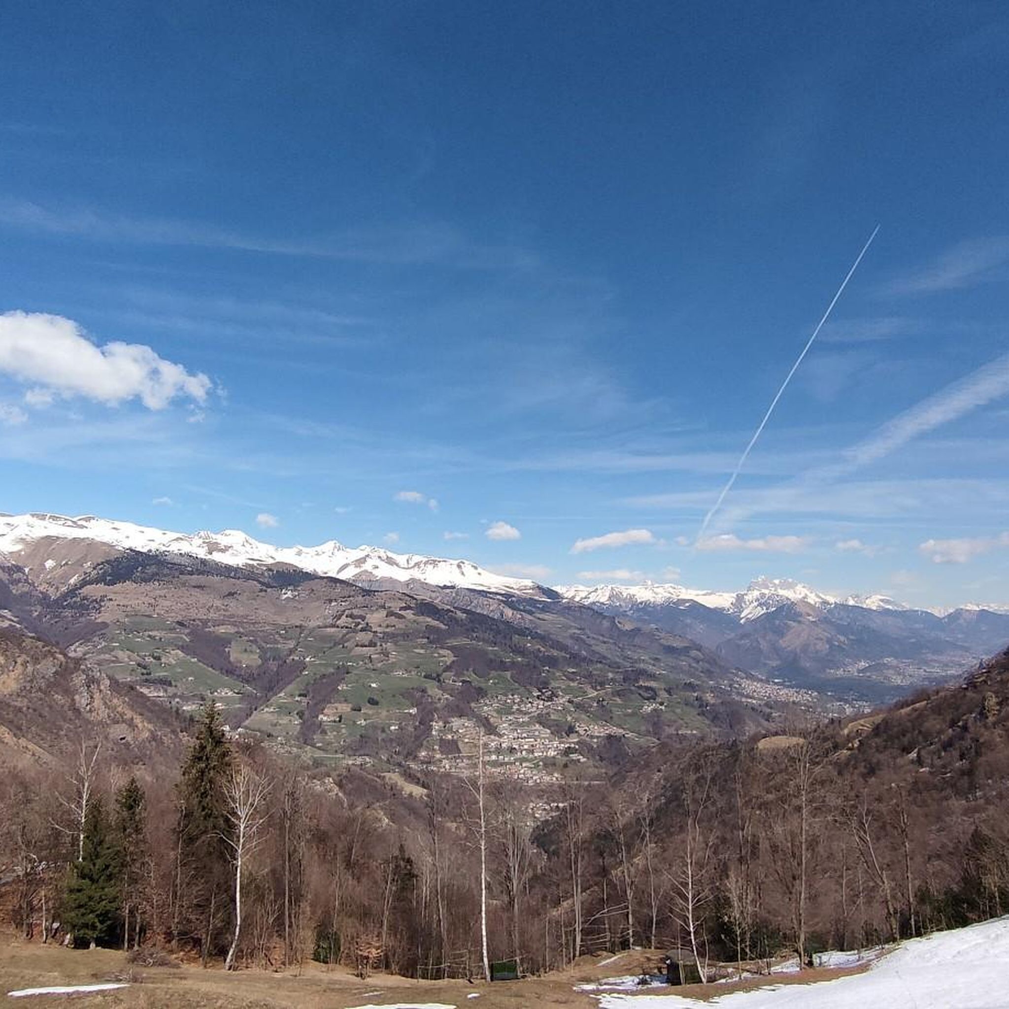
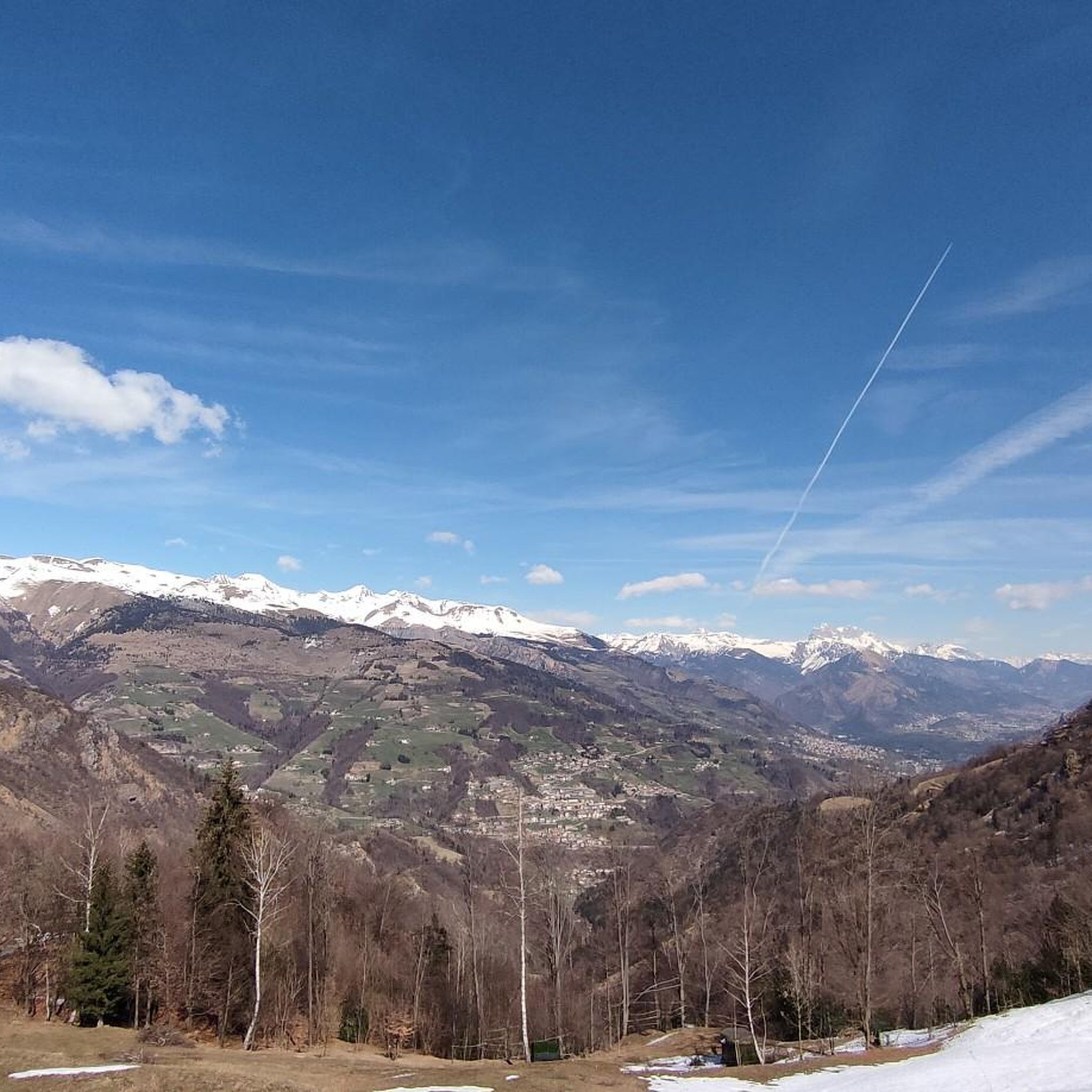
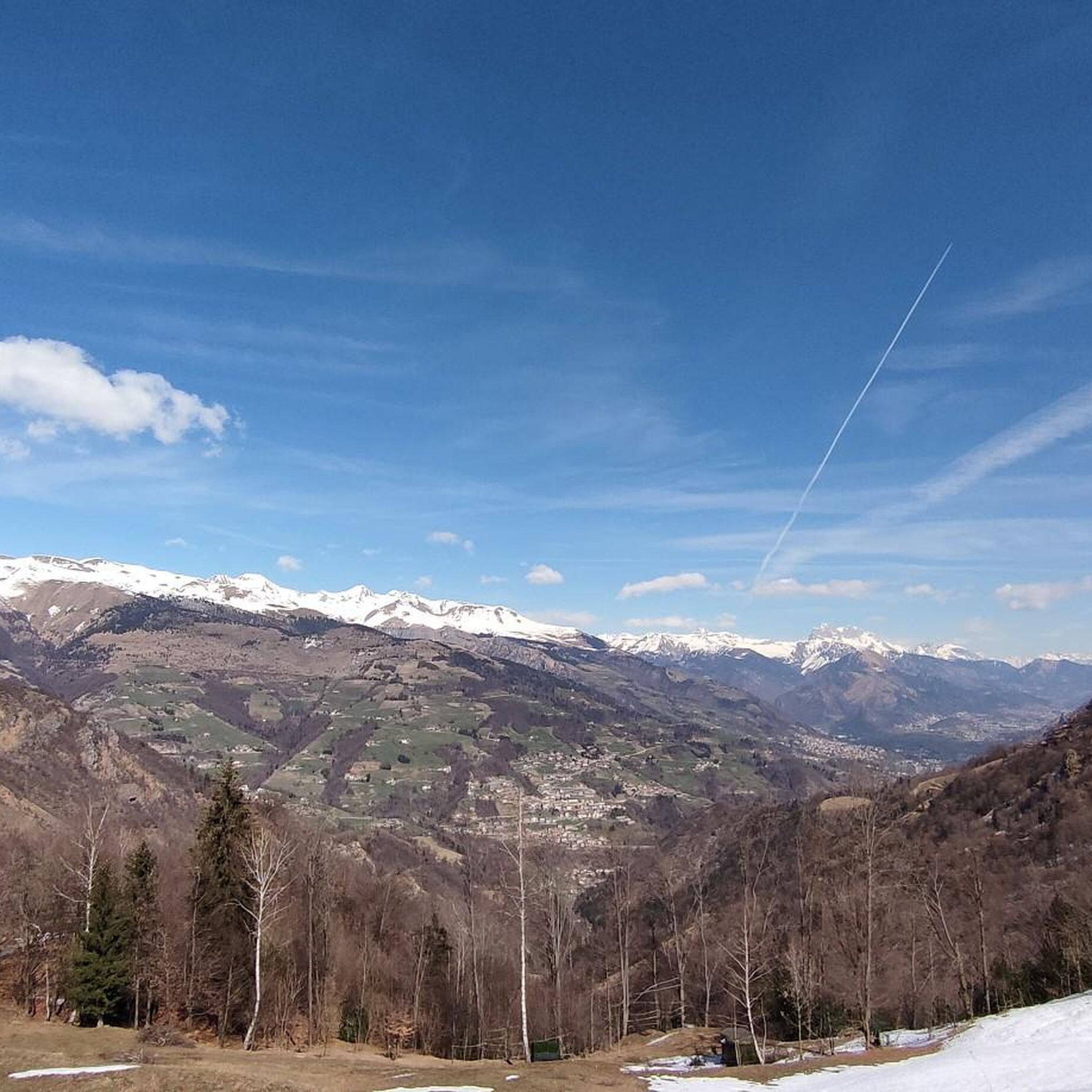
Forcella Larga is a pass located along the hiking trail that connects Pizzo Formico (1636 m) to Montagnina, in Val Gandino, province of Bergamo. It is a panoramic point much appreciated by hikers for its view of the Orobie Bergamasche and Val Seriana. Characteristics of Forcella Larga: Altitude: About 1470 meters. Access: Reachable via the CAI 549 path, which connects Monte Farno to the Rifugio Parafulmine. Panorama: View of Val Seriana, Val Gandino and the surrounding mountains. Support points: Capanna Ilaria, located near the fork. Recommended route: The most common path starts from Conca del Farno, crosses Montagnina and reaches Forcella Larga before continuing towards the summit of Pizzo Formico. It is an excursion suitable for those who have experience in the mountains and want to enjoy a breathtaking view.
0
0
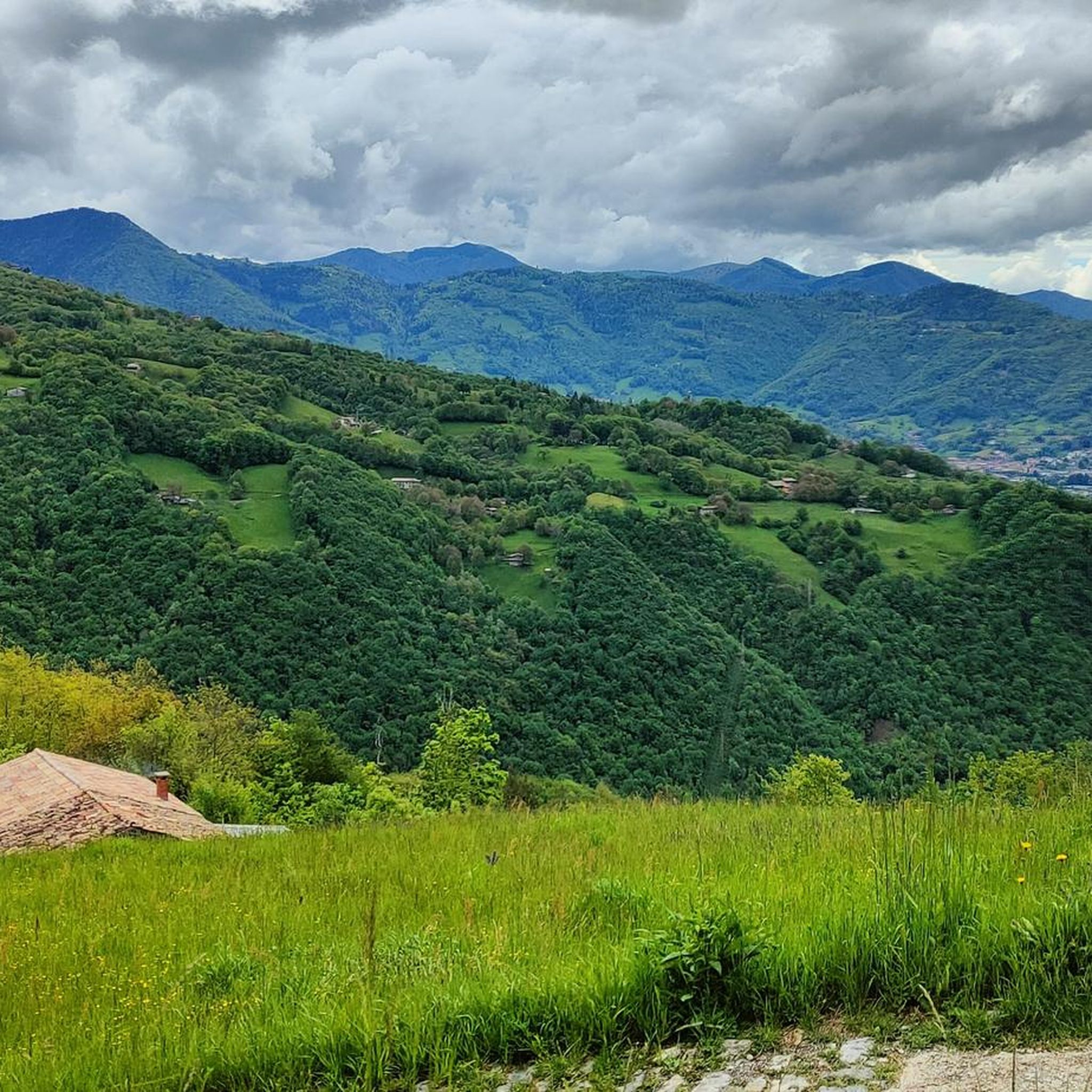
The Alpe Montagnina Trail is a hiking trail located in Val Gandino, in the province of Bergamo. It is a panoramic trail that connects Pizzo Formico to Rifugio Parafulmine, crossing the Montagnina area. Trail characteristics: Altitude: Varies between 1200 and 1600 meters. Route: CAI Trail 549, with connections to Monte Farno and Bivacco Baroncelli. Difficulty: Hiking (E), suitable for those with mountain experience. Panorama: View of Val Seriana, Val Gandino and the Orobie. Support points: Rifugio Parafulmine, Capanna Ilaria and Bivacco Baroncel
0
0
Capanna Ilaria is located at 1470 meters above sea level, in the Forcella Larga area, along the hiking trail that leads to Pizzo Formico (1636 m). It is a reference point for hikers who cross the Montagnina and head towards Rifugio Parafulmine. Characteristics of Capanna Ilaria: Altitude: 1470 m. Location: Forcella Larga, along the CAI 549 trail. History: The hut is a historic ruin, often used as a rest point. Route: Connections with Pizzo Formico, Monte Farno and Rifugio Parafulmine. Panorama: View of Val Seriana, Val Gandino and the Orobie. From Pizzo Formico, Capanna Ilaria can be reached in about 30 minutes, following the trail that crosses the Montagnina. It is a perfect place for a break before continuing towards the refuge or the summit.
0
0
From Pizzo Formico (1636 m) you can enjoy a spectacular view of the Bergamo Prealps, the Seriana Valley, the Gandino Valley and, on clear days, even Monviso. What you can see from the summit: Val Seriana and the Clusone plateau. Val Gandino, with its historic villages. Presolana, the "Queen of the Orobie". Lake Iseo, visible on clear days. Adamello Group, the Bergamo and Lecco Orobie. Po Valley, with glimpses of the Apennines. The summit cross, 12 meters high, is a point of reference for hikers and is illuminated on special occasions
1
0
Baita Cornei is a hiking reference point located in the Conca del Farno, in the Val Gandino, province of Bergamo. It is a structure used by hikers as a rest point along the paths that lead to Pizzo Formico and Rifugio Parafulmine. Characteristics of Baita Cornei: Location: Gandino, Bergamo, Lombardy. Altitude: About 1200 meters. Trails: Connections with Pizzo Formico, Monte Farno and Piana della Montagnina. Services: Vending machine for drinks and toilets available. Access: Reachable with an excursion from Cirano di Gandino or from Conca del Farno
0
0
The Tribulina dei Morti della Montagnina is a small place of worship located along the path that connects Pizzo Formico to the Rifugio Parafulmine, in Val Gandino, province of Bergamo. History and meaning: Origins: The tribulina was erected in memory of some people who died in this area, probably due to events related to the mountain. Location: It is located at about 1485 meters above sea level, along the hiking trail that crosses Forcella Larga. Access: Reachable via the CAI 549 path, which connects Farno to the Rifugio Parafulmine. Landscape: Surrounded by meadows and woods, with a panoramic view of the Valle del Lujo and Val Gandino.
0
0


더 살펴보기
다른 지역의 최고의 러닝 트레일 & 경로를 살펴보세요.
