쉴파리오 최고의 러닝 경로
4.4
(18)
2,179
달리기 하는 사람
14
러닝
Schilpario 주변의 조깅 코스는 우뚝 솟은 산과 광활한 전나무 숲으로 특징지어지는 알프스 이전 환경인 발레 디 스칼베(Valle di Scalve)에 자리 잡고 있습니다. 이 지역은 데쪼(Dezzo) 개울을 따라가는 코스와 삼림 지대를 통과하는 코스를 포함한 다양한 트레일 네트워크를 갖추고 있습니다. 러너들은 상당한 고도 변화가 있는 코스를 예상할 수 있으며, 자연 경관 속에서 도전적인 경험을 제공합니다.
Schilpario 주변 최고의 조깅 코스
- 가장 인기 있는 조깅 코스는 쉴파리오에서 리푸지오 캄피오네 – 캄펠리 고개 루프로, 19.4km 길이이며 완료하는 데 2시간 33분이 걸립니다. 이 어려운…
마지막 업데이트: 8월 29, 2026
14
달리기 하는 사람
6.34km
00:52
310m
310m
어려운 조깅. 우수한 체력 필요. 대부분 포장된 지면. 실력과 관계없이 누구나 갈 수 있음.
13
달리기 하는 사람
7.03km
00:56
240m
230m
보통 조깅. 좋은 체력 필요. 대부분 포장된 지면. 실력과 관계없이 누구나 갈 수 있음.

무료 회원 가입
10
달리기 하는 사람
10.9km
01:28
370m
370m
어려운 조깅. 우수한 체력 필요. 튼튼한 신발을 신고 미끄러지지 않게 조심해야 하며, 높은 산을 오른 경험이 있어야 함.
7
달리기 하는 사람
7.50km
01:16
500m
500m
어려운 조깅. 우수한 체력 필요. 튼튼한 신발을 신고 미끄러지지 않게 조심해야 하며, 높은 산을 오른 경험이 있어야 함.
6
달리기 하는 사람
22.8km
03:36
1,210m
1,210m
어려운 조깅. 우수한 체력 필요. 튼튼한 신발을 신고 미끄러지지 않게 조심해야 하며, 높은 산을 오른 경험이 있어야 함.
더 다양한 경로와 다른 탐험가들의 추천을 살펴보세요.
무료 회원 가입
이미 komoot 계정이 있나요?
투어 추천은 다른 사람들이 komoot에서 완료한 수천 개의 활동을 바탕으로 구성되어 있습니다.





커뮤니티 팁


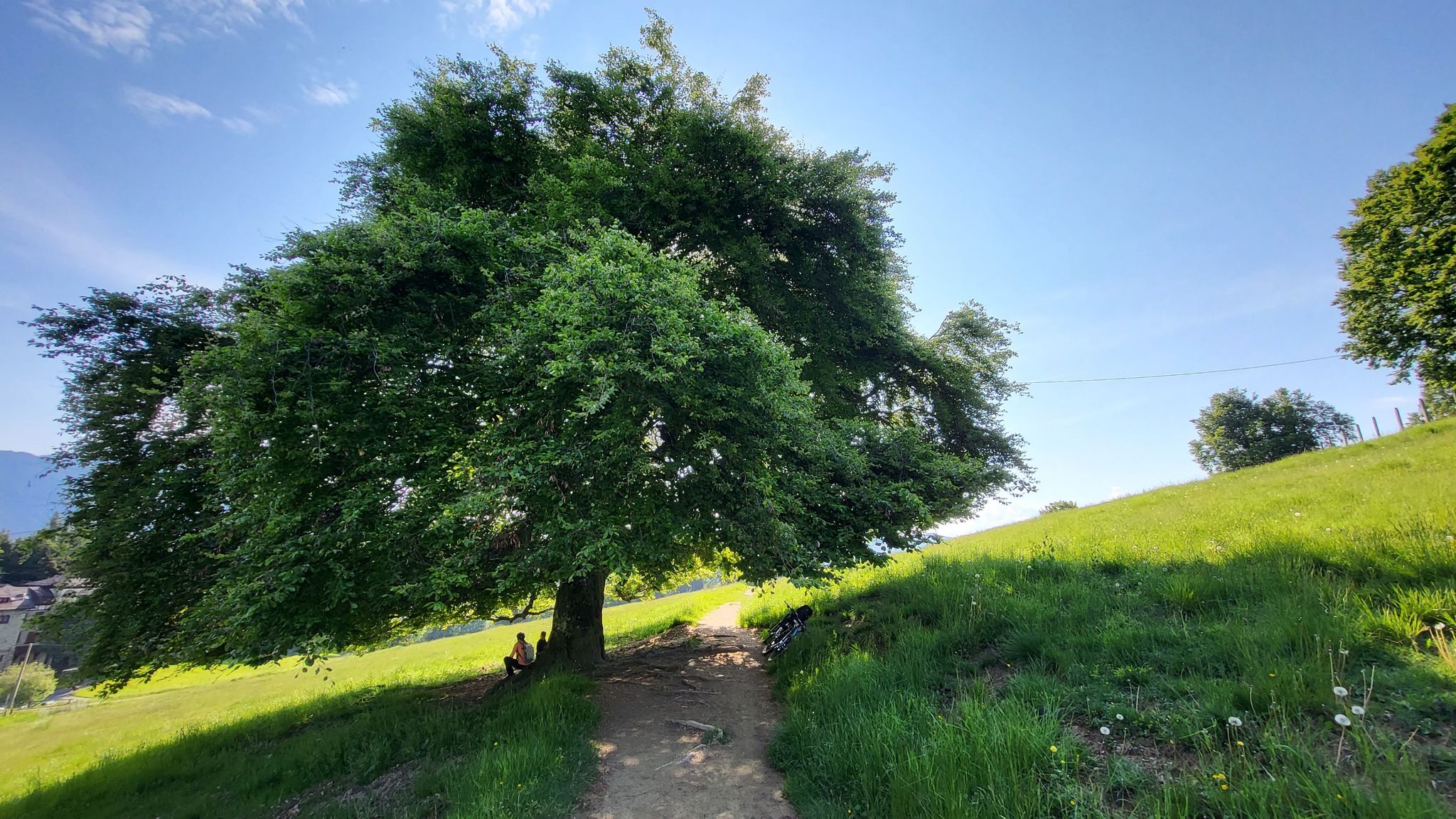
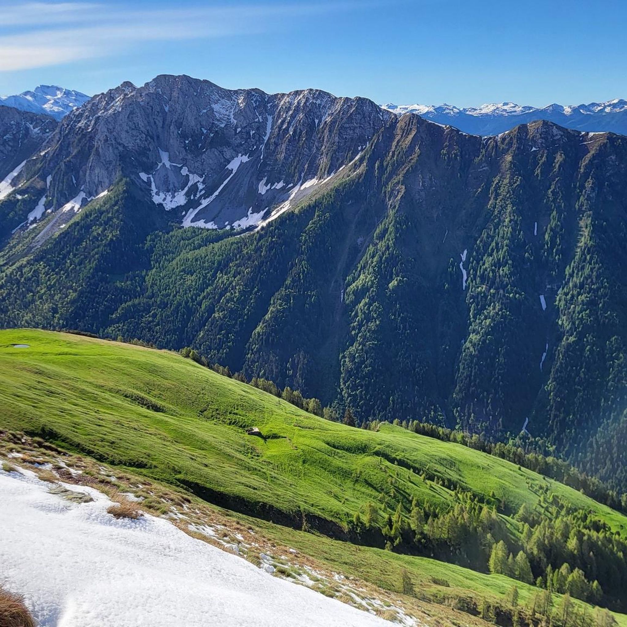
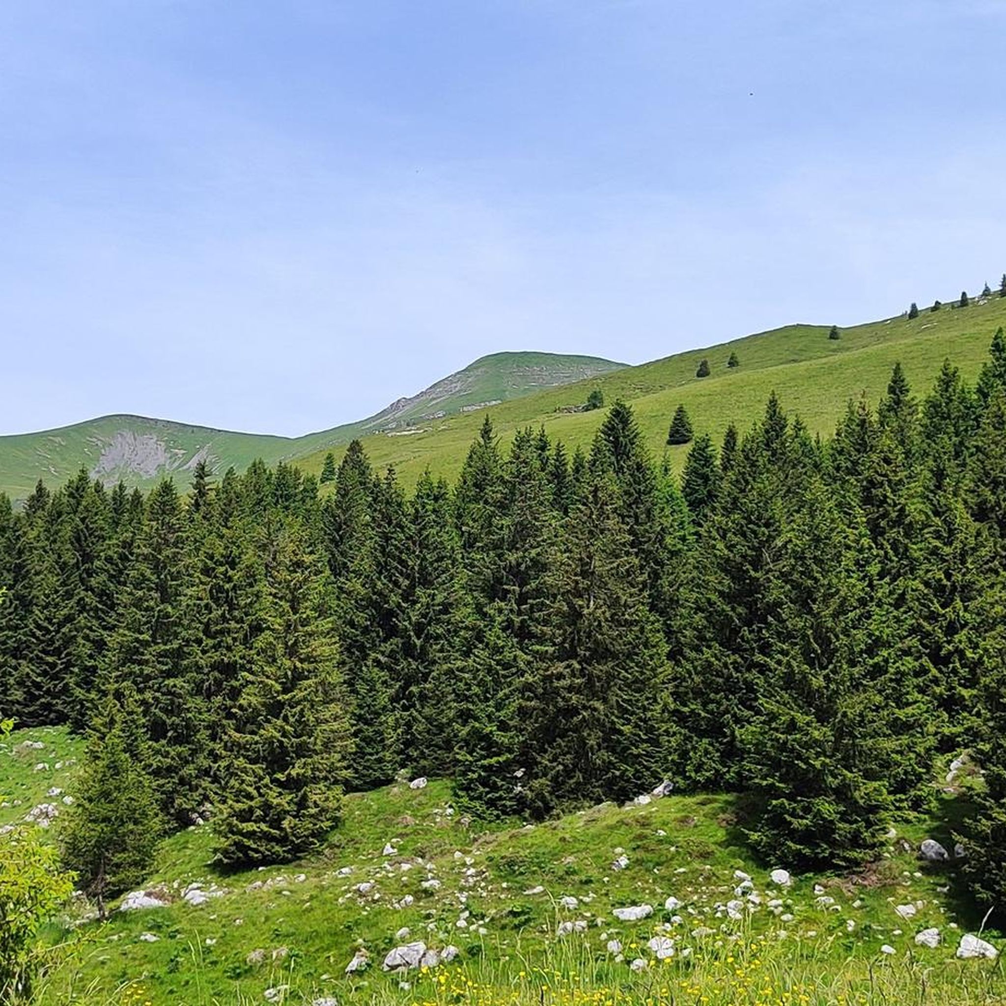
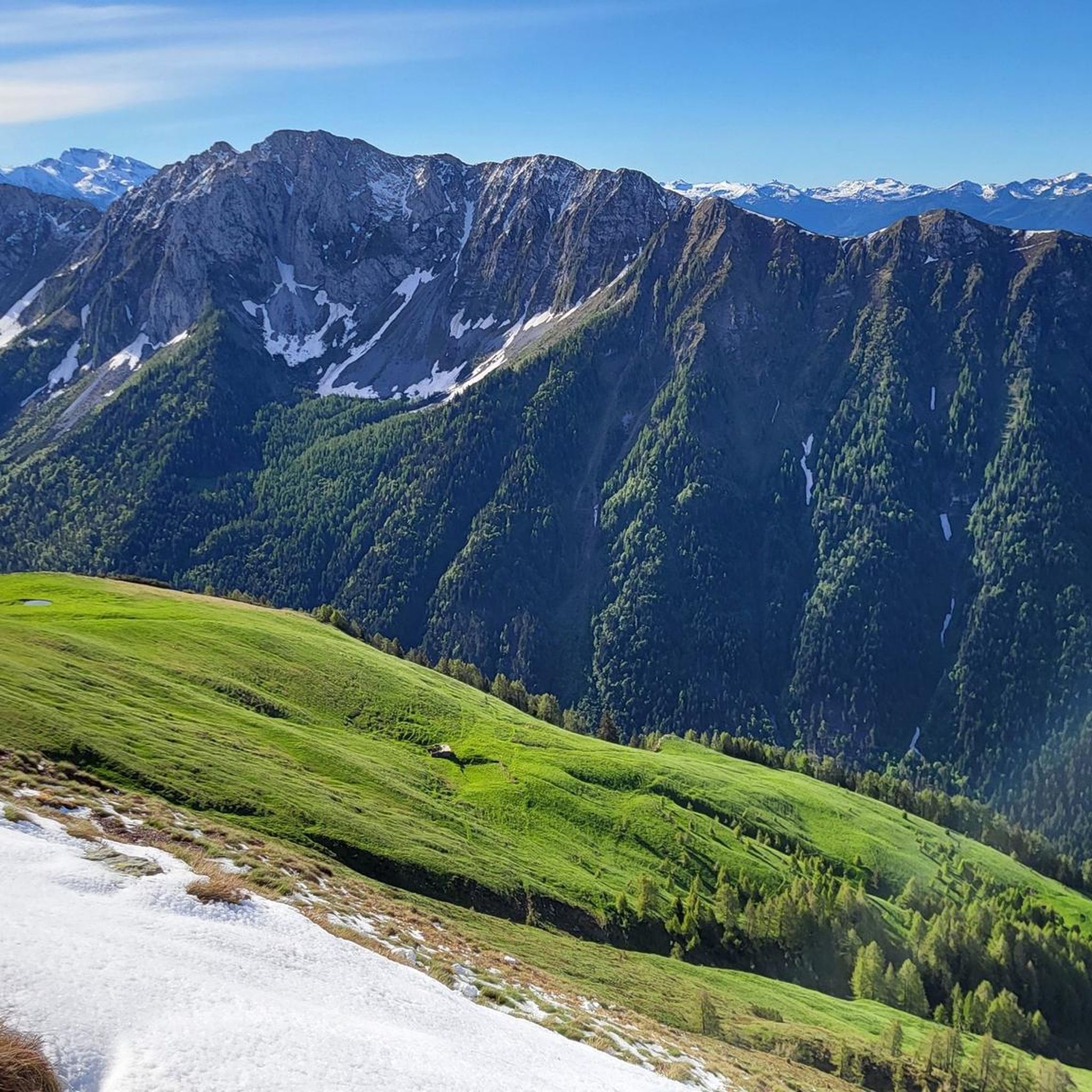
Fondi di Schilpario is an Alpine village located at approximately 1,250 meters above sea level in the municipality of Schilpario (BG), in the Scalve Valley. It is a strategic starting point for numerous hikes and snowshoeing excursions, immersed in a spectacular mountain landscape. 🏞️ Main Features Altitude: 1,250 m Access: Via Provincial Road 294 towards the Vivione Pass Services: Parking, votive church (Maria Ausiliatrice and Santa Barbara), picnic tables Ambience: Fir forests, alpine pastures, views of the Presolana and Cimon della Bagozza peaks 🥾 Excursions from Fondi Campione Refuge (1,900 m) – 1.5 hours Monte Campioncino (2,102 m) – 2.5 hours Don Giulio Corini Bivouac (2,016 m) – 2.45 hours Madonnina dei Campelli – 1.5 hours Malga Campelli Bassa and Alta – 1.15–1.45 hours ❄️ In winter Starting point for snowshoeing and ski mountaineering Groomed and marked trails, including Snow Spectacular snow-covered landscape, ideal for nature photography 🙏 Interesting Facts The votive church is dedicated to Mary Help of Christians and Saint Barbara, protectors of mountaineers and miners. Nearby is a memorial to the victims of the 1944 massacre.
0
0
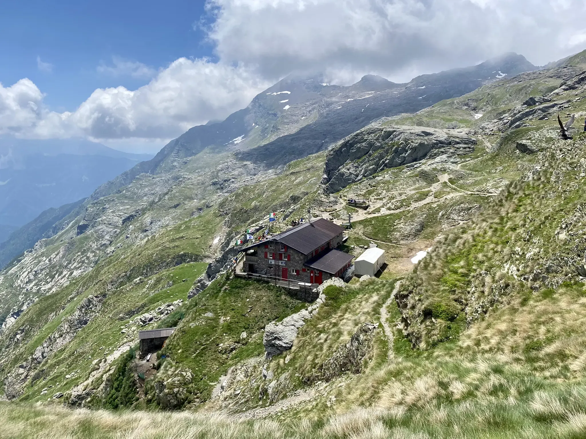
The Cimon della Bagozza Refuge is located at 1,600 meters above sea level in the beautiful Conca dei Campelli, in the municipality of Schilpario (BG), in the Scalve Valley. It is an ideal destination for hikers, families, and snowshoers, nestled in the so-called "Little Bergamo Dolomites." 🏡 Main Information Management: Cimon della Bagozza Alpine Group – Manager Silvio Visini Phone: 0346 56300 Email: rifugiobagozza@hotmail.it Altitude: 1,600 m Beds: approximately 50 (35 indoors) Cuisine: Traditional Bergamo cuisine – the "Polenta e quel che c'è" menu is famous Open all year round Pets allowed 🥾 How to get there From Fondi di Schilpario: approximately 1 hour on foot, elevation gain +350 m By car: In summer, you can get very close to the refuge by parking in Cimalbosco Trails: CAI 419 and 428, also ideal for families and beginners ❄️ In winter The refuge is open even in the snow and is a perfect destination For: Snowshoeing Hiking with crampons Family weekend in the snow Always check the avalanche bulletin (ARPA Lombardia) before leaving 🌄 What to see nearby Lake Campelli Madonnina dei Campelli Mount Campioncino Don Giulio Corini Bivouac Cimon della Bagozza (2,407 m) – for experienced hikers
0
0
The Madonnina dei Campelli is a small votive statue nestled in the beautiful Conca dei Campelli, in the Schilpario area (Bergamo). It's a popular spot among hikers, not only for its spiritual significance but also for its scenic and evocative location. The Madonnina dei Campelli is a bronze sculpture in the round, created by 🙏 Characteristics and meaning Type: votive statue dedicated to the Madonna Location: along CAI trail 428, near Malga Campelli Bassa, at approximately 1,680 m above sea level Context: located in a clearing between woods and pastures, overlooking Cimon della Bagozza and Pizzo Camino Function: a resting and reflection point for hikers, often associated with moments of meditation or prayer 🥾 How to get there Starting point: from Fondi di Schilpario Route: follow the forest road to the small church of Maria Ausiliatrice and Santa Barbara, then continue on trail 428 Duration: approximately 1.5 hours on foot Difficulty: hiking (E), also suitable for families
0
0
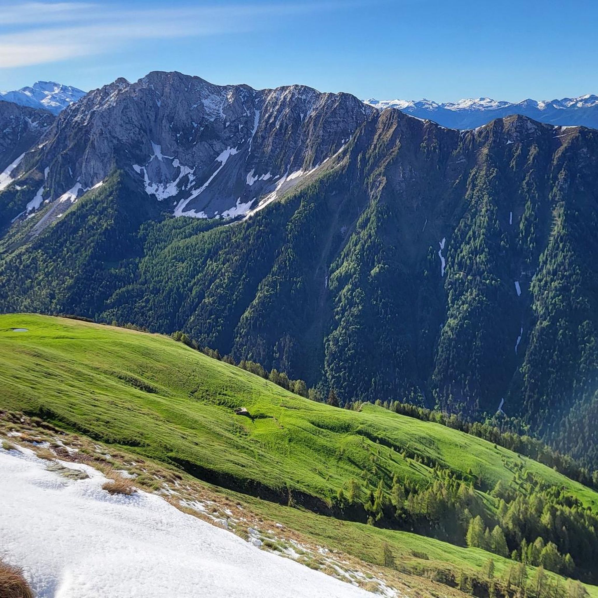
몬테 캄피온치노는 베르가모 알프스 산맥의 멋진 봉우리로, 발 디 스칼베(BG)와 발 카모니카(BS) 경계에 위치하며 높이는 약 2,102미터입니다. 🏔️ 주요 특징 고도: 2,102m 해발 위치: 실파리오(BG)와 체르베노(BS) 지자체 사이 산맥: 콘카레나 – 동부 베르가모 알프스 좌표: 46°01′59.94″N, 10°15′03.39″E 🚶♂️ 추천 하이킹 출발점: 치말보스코 지역(실파리오), 고도 1,580m 등반 경로: 캄펠리 고개(Passo dei Campelli)에서 남쪽 경사면 고도차: 약 520m (상승만) 소요 시간: 등반 1시간 30분, 총 2시간 45분 난이도: 하이킹(E), 표시 없는 트레일의 쉬운 구간(F) 포함 추천 시기: 연중 내내, 스노슈잉 및 스키 투어링에도 적합 🌄 파노라마 정상에서는 다음의 멋진 전망을 즐길 수 있습니다: 프레솔라나 치몬 델라 바고차 몬테 캄피오네 콘카레나
0
0
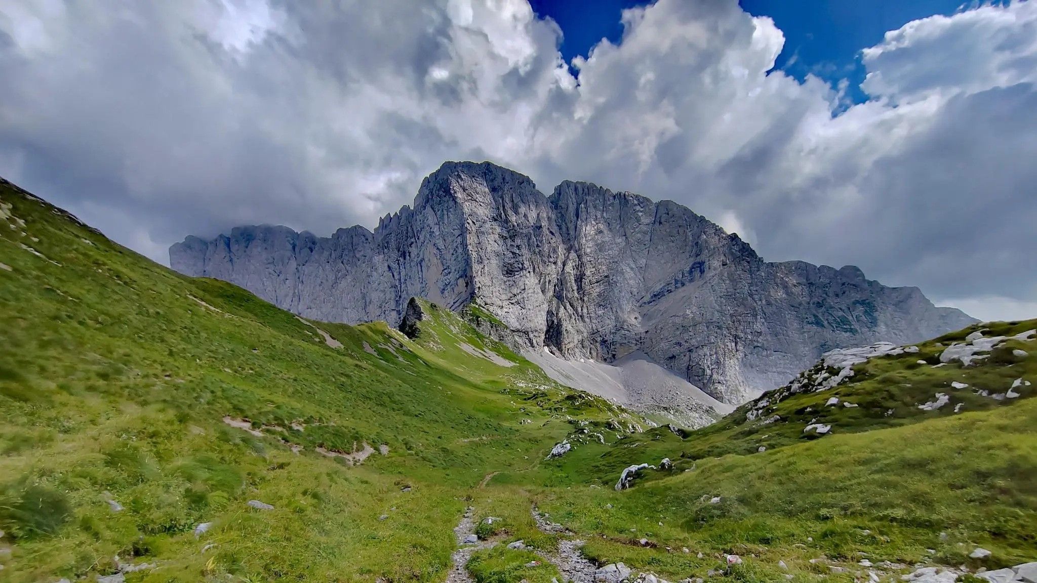
The Conca dei Campelli is a splendid alpine area located in the Scalve Valley, in the province of Bergamo, bordering the Camonica Valley. It is a true natural jewel, perfect for hiking, snowshoeing, and relaxing days immersed in nature. 🏞️ Characteristics of the Conca dei Campelli Altitude: approximately 1,800–1,900 m Main access: from Schilpario, following the signs for the Vivione Pass and then the Campelli Pass View: surrounded by the Piccole Dolomiti Scalvine, with views of Cimon della Bagozza Points of interest: Rifugio Campione: excellent refreshment point and base for hikes Laghetto dei Campelli: small alpine lake, ideal for a break Madonnina dei Campelli: panoramic and spiritual point 🌿 Recommended activities Summer hiking: trails also suitable for families and children Winter snowshoeing: breathtaking snow-covered landscapes, ideal for snow lovers
0
0
The Campelli Pass is an Alpine pass at approximately 1,892 meters above sea level that connects the Scalve Valley (province of Bergamo) with the Camonica Valley (province of Brescia). It is a popular hiking destination for its scenic beauty and the variety of available itineraries. 🏔️ Main Features Location: Between Schilpario (BG) and Cerveno (BS) Elevation: approximately 1,892 m View: Spectacular view of Cimon della Bagozza and the Piccole Dolomiti Scalvine Access: From Schilpario – Fondi: winter route for snowshoeing or ski mountaineering From Schilpario – Baracca Rossa: shorter and more scenic summer route From Ono San Pietro (BS): longer and more challenging route 🚶♂️ Recommended Activities Summer Hiking: Well-marked trails, also suitable for families Winter Snowshoeing: Safe and picturesque itineraries in the snow Mountain Biking: Technical and scenic routes, with stops at the Campione Refuge and Campelli Lake 📍 Nearby Points of Interest Campione Refuge: Not far from the pass, offers refreshments and overnight accommodations Campelli Lake Campelli: a small Alpine lake, ideal for a break Madonnina dei Campelli: a panoramic and spiritual point along the route
0
0
Born from the passion of Silvano Bettineschi and Adamo Marelli, the Museum's collection primarily (but not exclusively) includes military vehicles from the Second World War; you'll also find memorabilia and objects from the era. In the spacious spaces of the Military History Museum, you'll have the opportunity to observe not only military trucks and cars (including a unique example in Europe), but also a helicopter and two airplanes. Furthermore, since winter 2024, the Museum has become home to an impressive tank! Through the exhibits, you can learn more about the history of war, not only through the great battles, but also by trying to understand how hard and demanding the life of a soldier, tank driver, or gunner was. https://www.valdiscalve.it/arte-e-cultura/museo-storico-militare/
0
0


더 살펴보기
다른 지역의 최고의 러닝 트레일 & 경로를 살펴보세요.
