간델리노 최고의 러닝 경로
4.3
(19)
1,689
달리기 하는 사람
93
러닝
간델리노에서 하이킹하며 베르가모 구석 부분까지 살펴볼까요? 간델리노에 있는 모든 하이킹 및 워킹 경로 컬렉션 중 가장 멋진 하이킹 경로를 엄선하여 소개해드릴게요. 다른 하이커가 공유한 실제 팁과 사진을 살펴보고 후기를 읽으며 마음에 드는 간델리노 워킹 경로를 찾아보세요.
마지막 업데이트: 10월 9, 2026
33
달리기 하는 사람
8.39km
01:57
870m
870m
어려운 조깅. 우수한 체력 필요. 튼튼한 신발을 신고 미끄러지지 않게 조심해야 하며, 높은 산을 오른 경험이 있어야 함.
27
달리기 하는 사람
14.1km
01:31
230m
230m
보통 조깅. 좋은 체력 필요. 대부분 포장된 지면. 실력과 관계없이 누구나 갈 수 있음.

18
달리기 하는 사람
17.8km
03:30
1,280m
1,280m
어려운 조깅. 우수한 체력 필요. 튼튼한 신발을 신고 미끄러지지 않게 조심해야 하며, 높은 산을 오른 경험이 있어야 함.
21
달리기 하는 사람
17.8km
03:53
1,470m
1,470m
어려운 조깅. 우수한 체력 필요. 튼튼한 신발을 신고 미끄러지지 않게 조심해야 하며, 높은 산을 오른 경험이 있어야 함.
20
달리기 하는 사람
8.57km
00:57
150m
150m
보통 조깅. 좋은 체력 필요. 대부분 포장된 지면. 실력과 관계없이 누구나 갈 수 있음.
더 다양한 경로와 다른 탐험가들의 추천을 살펴보세요.
이미 komoot 계정이 있나요?
투어 추천은 다른 사람들이 komoot에서 완료한 수천 개의 활동을 바탕으로 구성되어 있습니다.
오늘 무료 계정으로 시작하세요
다음 모험이 기다리고 있어요.



커뮤니티 팁

이 건물은 보아리오(Boario)와 리파(Ripa) 지역을 연결하던 옛 도로가 있던 베투노 바소(Bettuno Basso) 지역에 위치해 있습니다. 강 자갈로 포장된 길을 통해 접근할 수 있습니다.
0
0
Gromo는 "이탈리아에서 가장 아름다운 마을" 서킷의 일부이며 이탈리아 투어링 클럽의 "오렌지 깃발"을 획득했으며, 초원과 전나무 숲으로 둘러싸인 바위 돌출부에 자리 잡고 있습니다. 고대에는 철과 은 광산 및 냉병기 공장으로 유명했던 이 마을은 거주지의 상층부에 중세의 조밀한 구조를 유지하고 있습니다.
0
0

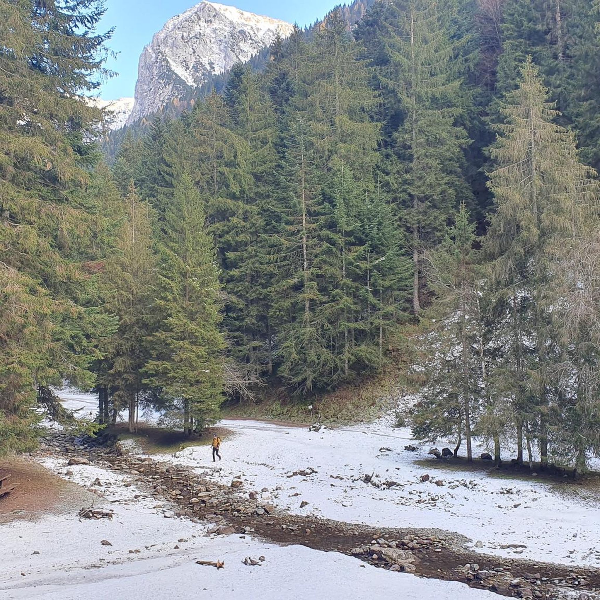
간델리노의 테치 알티에서 발 세도르니아로 올라가는 길에 만나는 산 카를로의 작은 예배당은 롬바르디아 전역에서 숭배받는 산 카를로 보로메오에게 헌정된 작은 알프스 신앙의 장소입니다. 그 기원은 민속 전통과 베르가모 계곡, 특히 17세기와 18세기에 보로메오 숭배가 널리 퍼져 있었던 것과 관련이 있습니다. 당시 많은 농촌 공동체는 질병, 기근, 자연 재해로부터 보호를 구하기 위해 예배당과 투표용지를 세웠습니다. 이 예배당은 테치 마을과 세도르니아 목초지를 연결하는 오래된 길을 따라 위치해 있으며, 목동, 농부, 나그네들이 반드시 지나가는 지점입니다. 바로 이 때문에 지역 사회는 이곳에 단순하고 돌로 된 작은 신성한 건물을 세워 목초지로 올라가는 사람들을 보호하는 표시로 삼고자 했습니다. 길에서 약간 높고 세도르니아 개울이 내려다보이는 위치는 알프스 투표 예배당의 전형적인 기능을 연상시킵니다. 즉, 길을 축복하고 계곡을 지키는 것입니다. 시간이 지남에 따라 이 작은 예배당은 간델리노와 테치 주민들의 정체성의 상징이 되었습니다. 오늘날에도 여전히 소중히 관리되고 있으며, 지역 문화 경로에 포함되어 있으며, 지역의 역사적 관심 지점 중 하나로 포함하는 관광 경로에서도 이를 확인할 수 있습니다.
0
0
The Spiazzi dell'Acqua Picnic Area is one of the most peaceful and pleasant spots in the Gandellino area, surrounded by greenery and perfect for a relaxing break before or after a hike. Located in an easily accessible clearing, it offers tables, natural shade, and a cool atmosphere thanks to the proximity to the water. It's a simple yet meticulously maintained spot, ideal for families, groups, or anyone looking to enjoy a quiet moment in nature. Its secluded location and wooded setting make it a small haven of peace, convenient to reach yet far from the noise.
0
0
The Baita di Mezzo in Vigna Vaga is one of the most evocative spots in the Sedornia Valley: a stone hut nestled in the pastures, with a small shelter and a nearby water source. Directly in front of the hut, on a grassy knoll overlooking the valley below, are the Tre Croci, simple wooden crosses that form one of the most recognizable symbols of Sedornia. Together, they create a truly atmospheric place: quiet, panoramic, and perfect for a contemplative break before continuing toward the upper pastures. It is one of the most iconic spots in the entire valley, where nature, history, and tranquility harmoniously meet.
0
0
붉은 보라색 베루카노로 된 평행육면체인 이 전석은 약 20 입방미터의 부피를 가지며 약 130cm 높이로 지면에서 솟아 있습니다. 동쪽과 서쪽 벽은 풍화 작용으로 인해 전석에서 분리되어 약간 바깥쪽으로 회전했으며, 전석으로의 접근을 용이하게 하기 위해 조각된 계단의 흔적을 보여줍니다. 약간 오목하고 계곡 쪽으로 기울어진 윗부분에는 거칠게 만들어졌지만 어느 정도 대칭적으로 배열된 여러 개의 조각, 홈, 작은 도랑이 있습니다. 이들은 주로 세 개의 평행한 선을 따라 분포되어 있습니다. 북쪽을 향한 면에도 비스듬한 선으로 배열된 여러 개의 홈 모양 조각이 있습니다. 이러한 조각의 형태와 분포는 자연적인 기원으로 간주될 수 없습니다. 이 제단석은 아마도 켈트족의 드루이드인 고대 사제들의 신성한 장소였을 것입니다. 아마도 희생의 장소였을 것입니다. 이곳과 알프스의 다른 지역에서 수행된 연구에 따르면, 이 제단석은 기원전 3천년기에서 1천년기 사이에 신성한 의식에 사용되었던 것으로 여겨집니다. 사실 이 장소의 신성함은 선사 시대에만 국한되지 않습니다. "Sedornia"라는 이름은 로마 시대의 이름 "Sáturnia"의 변형으로, 여전히 종교적 요소인 자연, 번영, 풍요의 신 사투르누스를 나타냅니다.
0
0
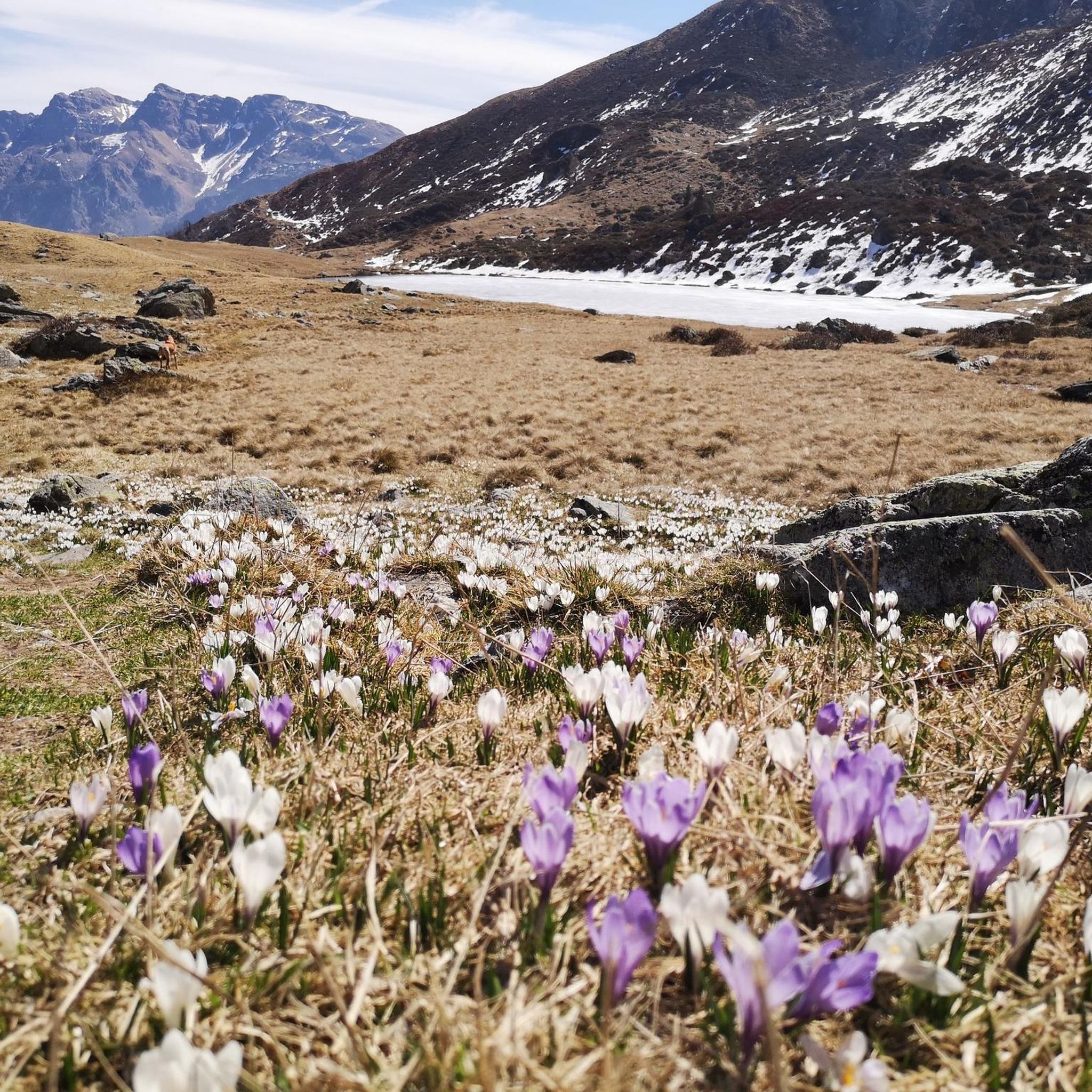
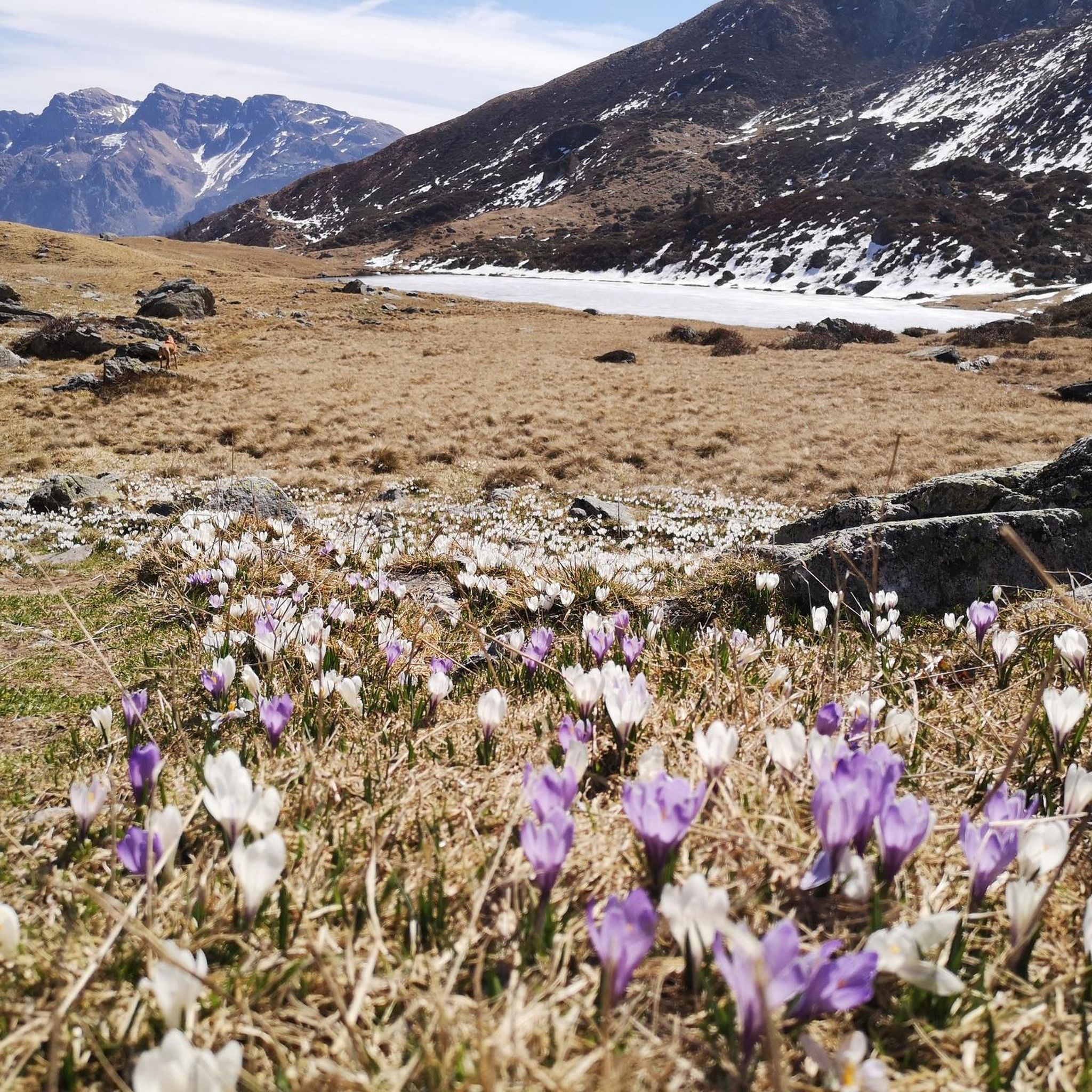
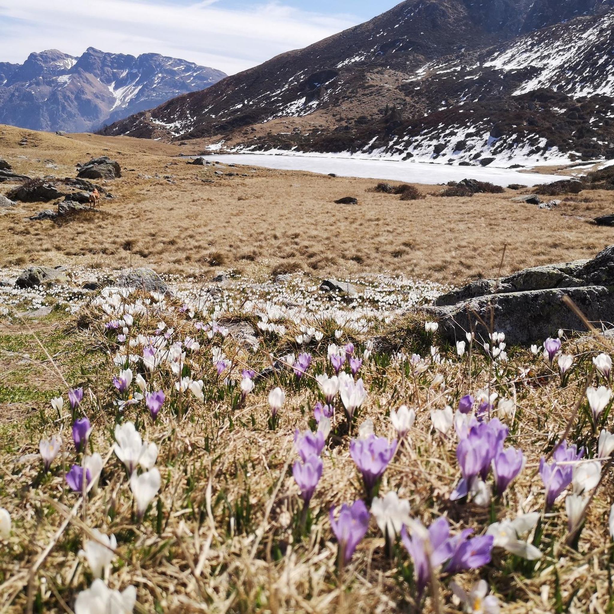
Lake Spigorel is a small alpine lake in the Sedornia Valley, accessible from Tezzi Alti (Gandellino) via CAI trail 309. It is a popular destination for its wild location between Monte Barbarossa and Vigna Vaga. 🚶♂️ Route from Tezzi Alti Key details Start: Tezzi Alti (969 m) Arrival: Lake Spigorel (approximately 1,800 m) Difficulty: Hiking (E) Duration: Outward journey: ~3 hours Return journey: ~2 hours Elevation gain: ~830 m General route outline Take the forest road of the Sedornia Valley. Pass by the Chapel of San Carlo (1,163 m). Continue through woods and pastures to the Vigna Vaga huts. The final stretch climbs steeply toward the lake basin. ⭐ Why go there Wild and untouched environment. Excellent viewpoint over the Sedornia Valley. Option to continue toward Sponda Vaga or Rifugio Mirtillo for longer itineraries.
0
0
free parking but limited spaces available.
0
0


더 살펴보기
다른 지역의 최고의 러닝 트레일 & 경로를 살펴보세요.
