발고글리오 최고의 러닝 경로
4.1
(43)
4,278
달리기 하는 사람
150
러닝
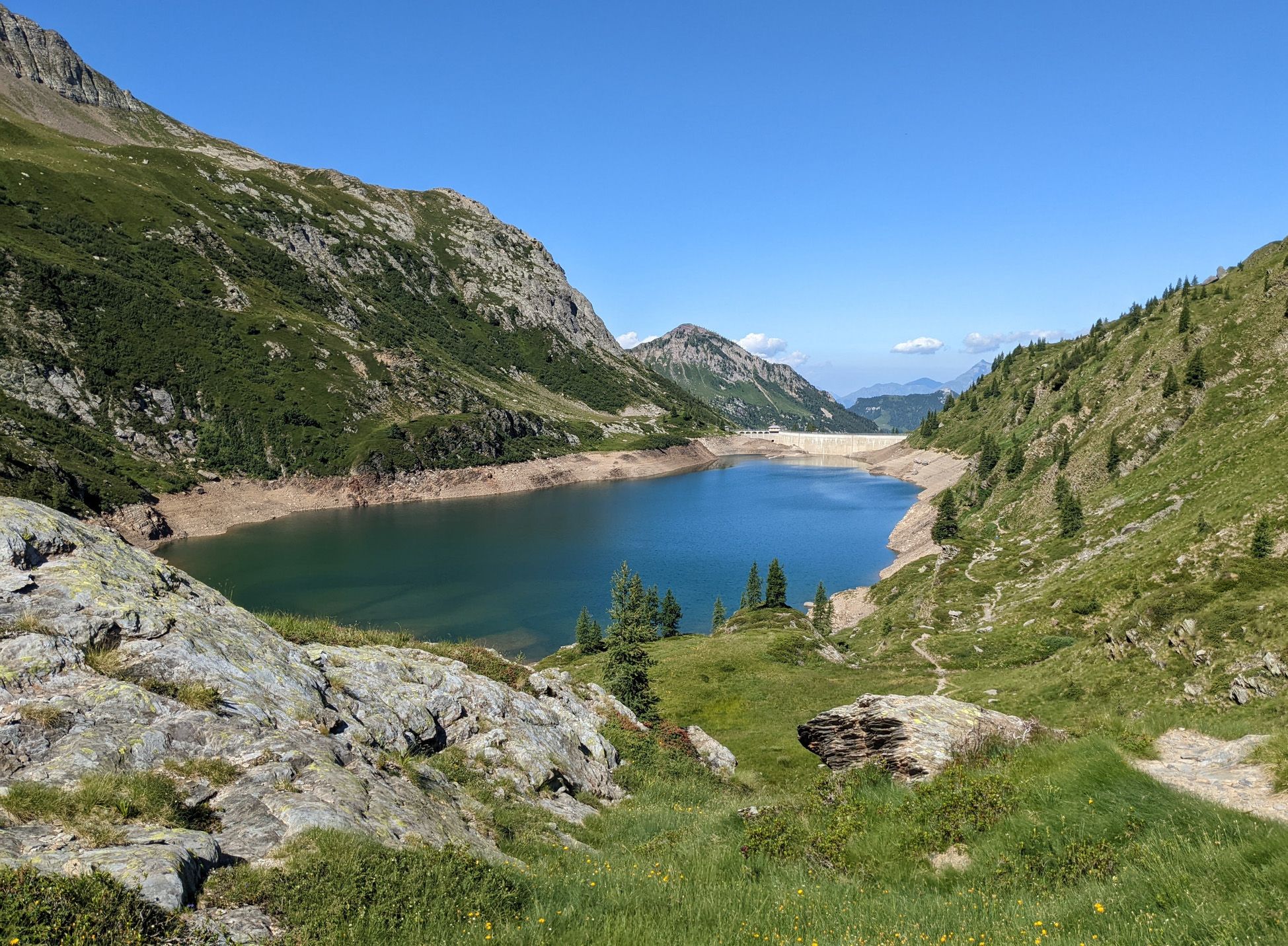
발골리오 주변의 조깅 코스는 롬바르디아의 상부 세리아나 계곡에 자리 잡고 있으며, 해발 929미터부터 시작하는 산악 지형이 특징입니다. 이 지역은 발 상귀뇨(Val Sanguigno)와 같은 울창한 계곡, 수많은 강과 시냇물, 광활한 숲이 우거진 지역을 포함한 다양한 풍경을 자랑합니다. 러너들은 인상적인 고산 호수와 다양한 러닝 표면을 탐험하며 이탈리아 알프스의 파노라마 전망을 즐길 수 있습니다.
발골리오 주변 최고의 조깅 코스
- 가장 인기 있는 조깅 코스는 발카날레(Valcanale)에서 출발하는 트윈 레이크스 패스 – 알페 코르테 산장 루프로, 7.4마일(11.9km) 길이이며 완료하는 데 2시간 42분이 소요됩니다. 이…
마지막 업데이트: 10월 9, 2026
63
달리기 하는 사람
11.9km
02:42
1,050m
1,050m
어려운 조깅. 우수한 체력 필요. 튼튼한 신발을 신고 미끄러지지 않게 조심해야 하며, 높은 산을 오른 경험이 있어야 함.
27
달리기 하는 사람
33.4km
06:23
1,990m
1,990m
어려운 조깅. 우수한 체력 필요. 튼튼한 신발을 신고 미끄러지지 않게 조심해야 하며, 높은 산을 오른 경험이 있어야 함.

3.0
(1)
26
달리기 하는 사람
19.4km
03:51
1,290m
1,290m
어려운 조깅. 우수한 체력 필요. 튼튼한 신발을 신고 미끄러지지 않게 조심해야 하며, 높은 산을 오른 경험이 있어야 함.
21
달리기 하는 사람
17.8km
03:53
1,470m
1,470m
어려운 조깅. 우수한 체력 필요. 튼튼한 신발을 신고 미끄러지지 않게 조심해야 하며, 높은 산을 오른 경험이 있어야 함.
18
달리기 하는 사람
11.9km
02:01
590m
590m
어려운 조깅. 우수한 체력 필요. 튼튼한 신발을 신고 미끄러지지 않게 조심해야 하며, 높은 산을 오른 경험이 있어야 함.
더 다양한 경로와 다른 탐험가들의 추천을 살펴보세요.
이미 komoot 계정이 있나요?
투어 추천은 다른 사람들이 komoot에서 완료한 수천 개의 활동을 바탕으로 구성되어 있습니다.
오늘 무료 계정으로 시작하세요
다음 모험이 기다리고 있어요.





커뮤니티 팁


Passo Portula 2273m, a panoramic pass that separates Val Brembana and Val Grabiasca (a side valley of Val Seriana), and divides Monte Madonnino and Monte Reseda.
0
0

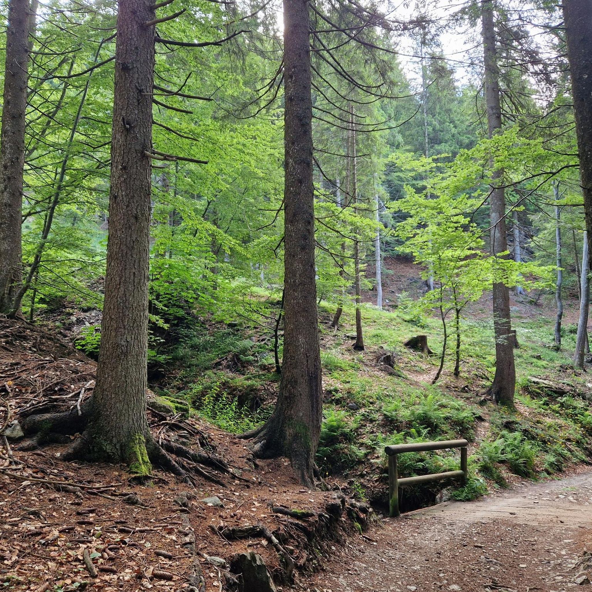
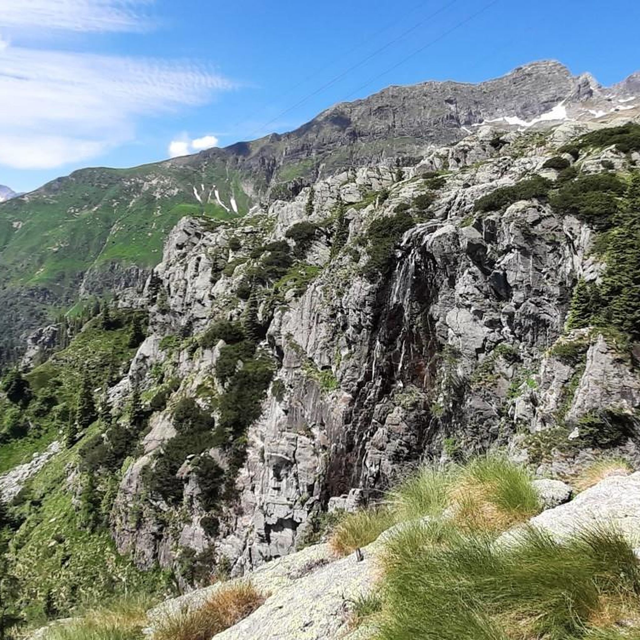
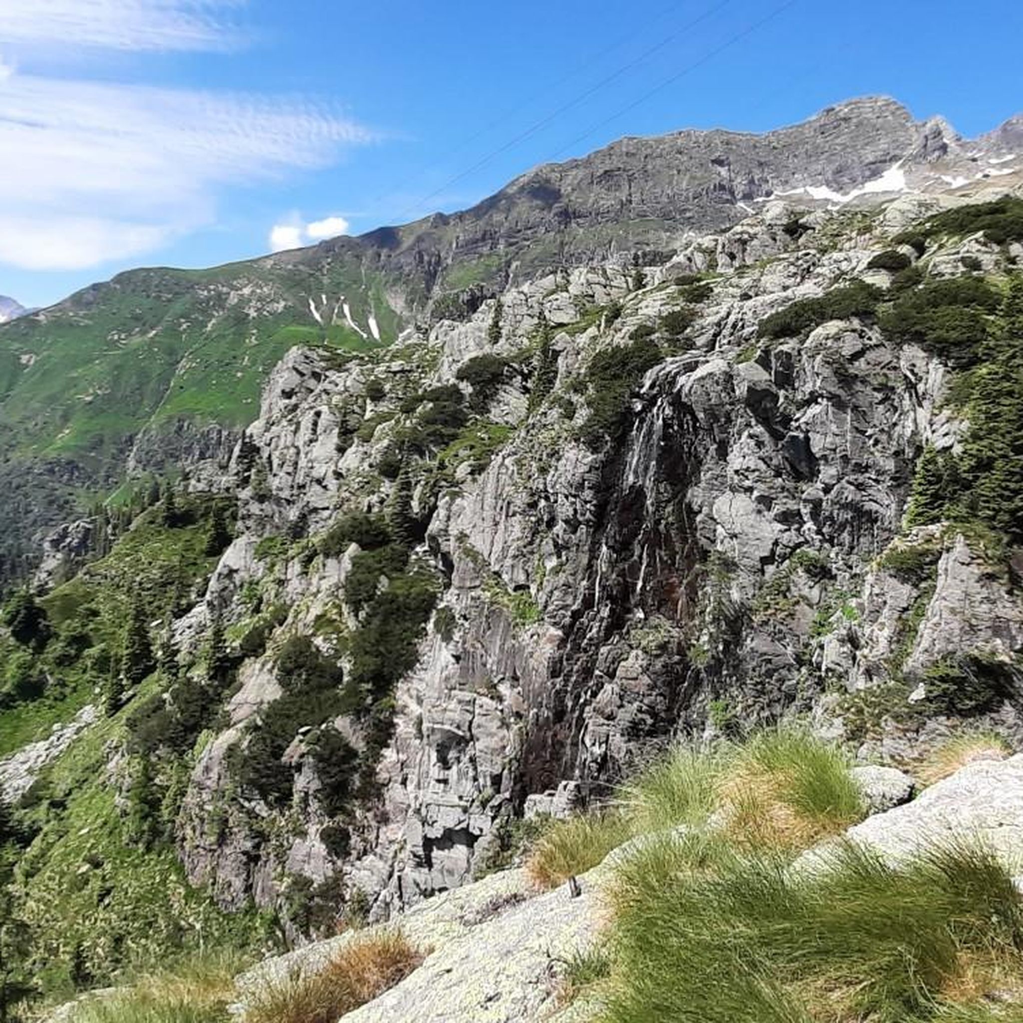
Today Sanguigno Stream Waterfalls Show more The Sanguigno Stream waterfalls are one of the most evocative natural spectacles in the Sanguigno Valley, above Valgoglio (BG). A sequence of waterfalls and crystal-clear pools that line the trail surrounded by greenery, making the valley a true paradise for hikers and nature lovers. 🌊 Main features Unique environment: The Sanguigno Valley is considered the oasis with the highest biodiversity in the Orobie Bergamasche Park. Waterfalls and natural pools: The stream cascades, forming transparent pools of green and blue. Wild atmosphere: The water tumbles over waterfalls, rests in crystal-clear lakes, and flows through peat bogs and shady woods. Accessibility: The starting point is the Aviasco power plant (965 m), accessible by car from Valgoglio. From there, the trail follows the stream and its waterfalls to the Gianpace Refuge. 🚶♂️ Hiking itinerary Start: Valgoglio (929 m), with parking at the Aviasco power plant (ticket required). Route: The trail follows the Sanguigno stream, passing through woods and clearings, with constant glimpses of the waterfalls. Intermediate stop: Rifugio Gianpace (1331 m), an excellent refreshment point and observation point for the waterfalls. Duration: Approximately 2 hours' walk to the refuge, with moderate elevation gain.
0
0
The Rifugio Gianpace is located in the Sanguigno Valley, above Valgoglio (BG), at an altitude of 1,330 meters. It is a popular stop for those hiking the trails along the Sanguigno stream and looking to stop for lunch or a scenic break. 🏔️ Features Location: Nestled in the lower Sanguigno Valley, easily reached with a 1.5-2 hour walk from the Aviasco power plant. Services: It offers summer refreshments (lunches, snacks, drinks) and outdoor seating with tables under a wooden canopy. Overnight stay: As it is a private refuge, overnight stays require a reservation. Ambience: Surrounded by cool, humid woods, with the stream flowing alongside, creating a natural backdrop. 📅 Current situation In past years, it has been very popular on summer weekends. Update 2025: The refuge is closed pending a new assignment, following a call for applications published on April 4, 2025. 📌 Historical contact details Website: gianpace.it Phone: +39 347 2191628 Email: rifugiogianpace@gmail.com
0
0
The waterfalls of the Sanguigno River are one of the most evocative natural spectacles in the Sanguigno Valley, above Valgoglio (BG). A sequence of waterfalls and crystal-clear pools line the trail, immersed in greenery, making the valley a true paradise for hikers and nature lovers. 🌊 Main features Unique environment: The Sanguigno Valley is considered the oasis with the highest biodiversity in the Orobie Bergamasche Park. Waterfalls and natural pools: The stream cascades, forming transparent pools of green and blue. Wild atmosphere: The water tumbles over waterfalls, rests in crystal-clear lakes, and flows through peat bogs and shady woods. Accessibility: The starting point is the Aviasco power plant (965 m), accessible by car from Valgoglio. From there, the trail follows the stream and its waterfalls to the Gianpace Refuge. 🚶♂️ Hiking itinerary Start: Valgoglio (929 m), with parking at the Aviasco power plant (ticket required). Route: The trail follows the Sanguigno stream, passing through woods and clearings, with constant glimpses of the waterfalls. Intermediate stop: Rifugio Gianpace (1331 m), an excellent refreshment point and observation point for the waterfalls. Duration: Approximately 2 hours' walk to the refuge, with moderate elevation gain.
0
0

low flower path, once you reach the halfway point, turn left and not continue towards Branchino, you descend into Val Vedra
0
0
halfway along the circular route from Plassa on the Arera flower trail
1
1


더 살펴보기
다른 지역의 최고의 러닝 트레일 & 경로를 살펴보세요.
