발사바렌체 최고의 워킹 & 하이킹 경로
4.7
(3175)
22,685
등산객
117
하이킹
정확한 경로를 찾는 것이 때로는 어렵지만 발사바렌체에서 하이킹을 하면 다양한 경치를 마음껏 감상할 수 있답니다. 발사바렌체에서 가장 멋진 하이킹과 워킹 중에서 마음에 드는 활동을 시작해보세요.
마지막 업데이트: 9월 7, 2026
4.8
(175)
2,571
등산객
7.70km
03:30
500m
500m
Embark on the Trail to Montcorvé Lakes, a moderate hike covering 4.8 miles (7.7 km) with an elevation gain of 1632 feet (497 metres). You can expect to complete this…
4.7
(151)
1,013
등산객
16.8km
07:21
1,050m
1,060m
The Chabod and Vittorio Emanuele II Huts Loop is a difficult hike that takes you through varied alpine landscapes. You'll cover 10.5 miles (16.8 km) and climb 3454 feet (1053…

4.8
(140)
697
등산객
17.0km
06:33
620m
610m
Prepare for a challenging hike on Historic Trail 3 through the Nivolet Plateau, a difficult route spanning 10.6 miles (17.0 km) with a significant 2025 feet (617 metres) of elevation…
4.8
(140)
651
등산객
17.1km
06:16
630m
630m
Embark on the Sentiero Italia: Croce della Roley Loop, a difficult hiking route that takes you through the stunning alpine landscapes of Gran Paradiso National Park. This challenging 10.6-mile (17.1…
4.8
(96)
507
등산객
13.7km
06:31
930m
930m
Embark on a difficult 8.5-mile (13.7 km) hike from Nivolet Lakes to Taou Blanc, gaining 3044 feet (928 metres) in elevation over approximately 6 hours and 30 minutes. Starting from…
더 다양한 경로와 다른 탐험가들의 추천을 살펴보세요.
이미 komoot 계정이 있나요?
투어 추천은 다른 사람들이 komoot에서 완료한 수천 개의 활동을 바탕으로 구성되어 있습니다.
오늘 무료 계정으로 시작하세요
다음 모험이 기다리고 있어요.
발사바렌체 주변 인기 장소
Hiking to the Aosta Valley’s mountain huts: 10 beautiful trails

Alta Via n. 2 of the Aosta Valley — high peaks and beautiful valleys in Italy
이탈리아의 높은 고대와 아름다운 계곡 - 아오스타 계곡의 알타 비아 트레일
이트리아 일제 이반화한 이용 자도 스타랜드
이탈리아 알프스의 트레일 러닝 모험 - 지로 델 그란 파라디소
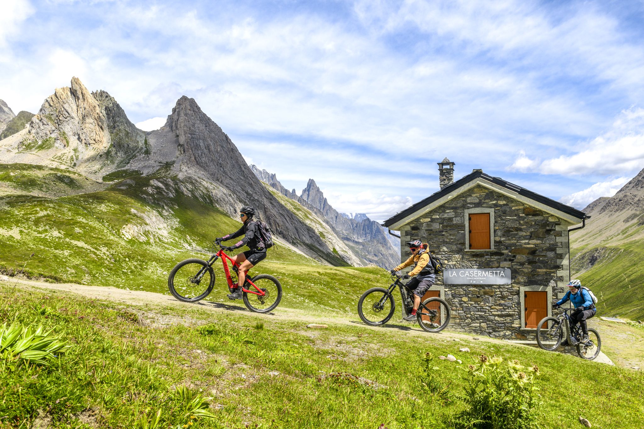
The Aosta Valley by e-MTB – alpine landscapes, castles and glaciers
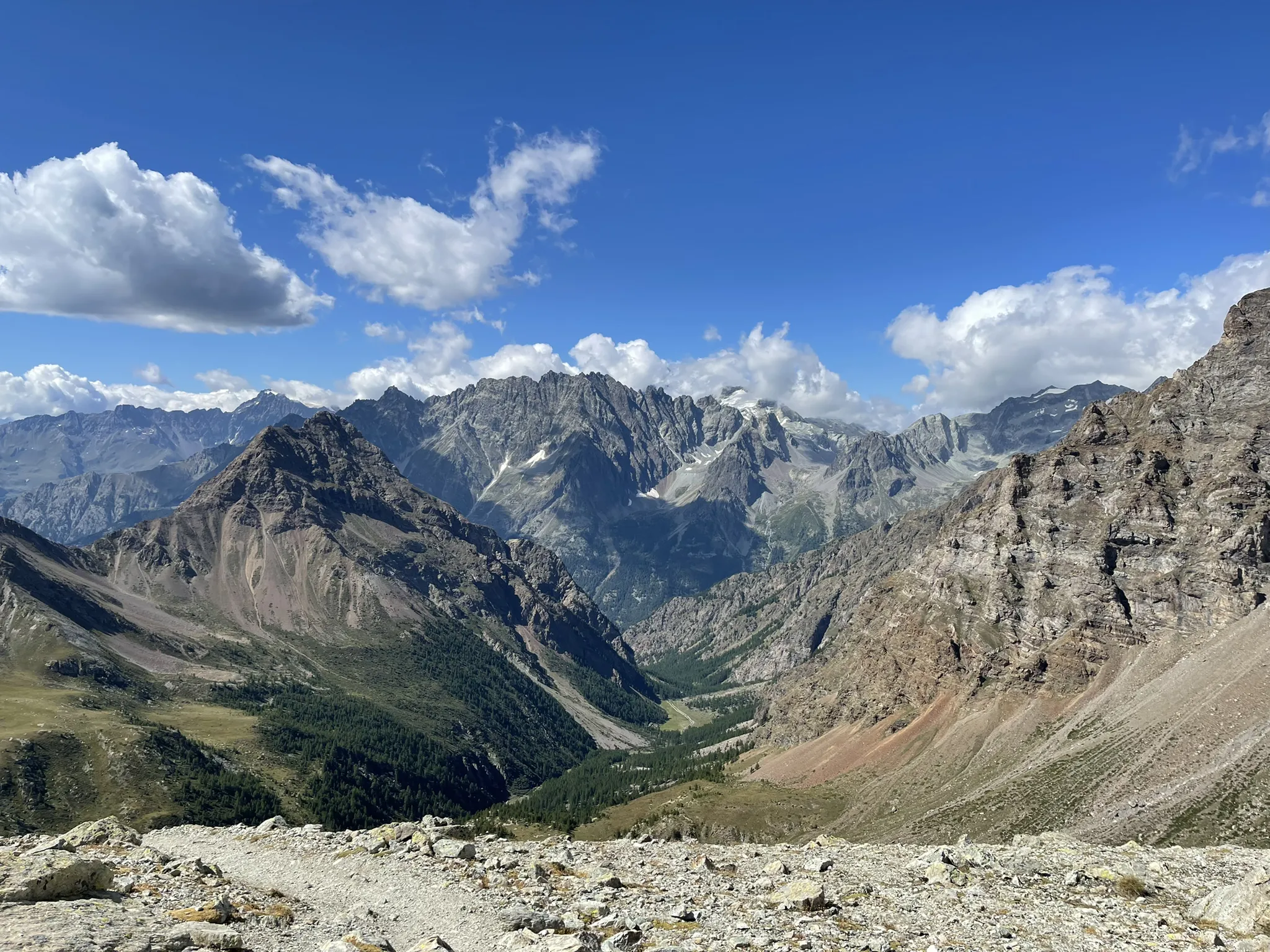
가개 과제도 가리스타일 검색은 한다시 - Tor des Géants
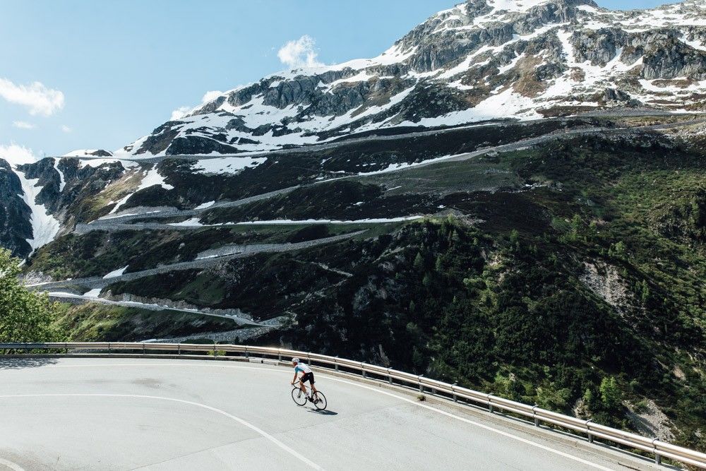
깔끔한 아스팔트로 구름으로
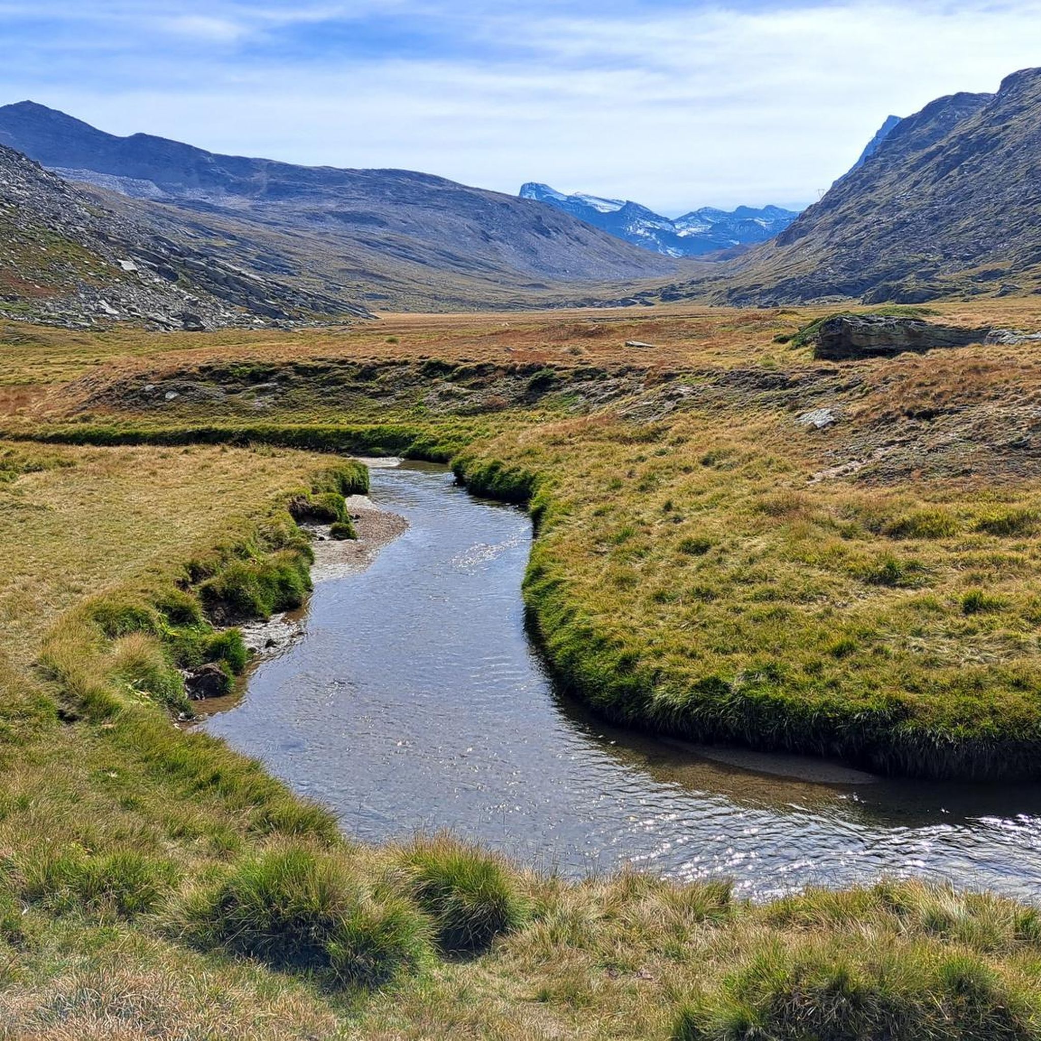
발사바렌체 러닝 트레일
발사바렌체 사이클링
발사바렌체 주변의 다른 모험


커뮤니티 팁


매우 아름다운 전망, 25kg의 바이크패킹 자전거로 하이킹하는 것은 상당한 도전입니다.
0
0


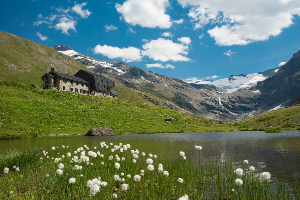
니볼레 호수 앞에 있는 산장입니다. 제 생각에는 멋진 위치 때문에 훌륭한 잠재력을 가지고 있지만, 제 의견으로는 활용되지 않고 있습니다.
0
0

리푸지오 사보이아는 그란 파라디소 국립공원 중심부의 그림 같은 니볼레트 고원에 해발 2,534미터에 자리 잡고 있습니다. 1860년으로 거슬러 올라가는 비토리오 에마누엘레 2세 국왕의 역사적인 사냥용 별장을 개조하여 탄생한 이곳은 오늘날 40개의 침대와 발도스타 전통 요리를 맛볼 수 있는 아늑한 주방을 제공합니다.
2
0

자전거로 오르내리는 것 모두 추천하지 않습니다. 순전히 들고 가야 합니다. 차로 1시간 우회해서 Rifugio Savoia로 바로 가는 것이 낫습니다. 거기서부터는 편안하게 올라갈 수 있습니다. 그렇지 않으면 이쪽 방향에서 출발한다면, 이 길 대신 터널을 통해 올라가세요.
2
0

The hut offers food, beds, and a terrace—perfect for families, short hikes, or climbing Gran Paradiso. For details, see www.rifugiovittorioemanuele.com.
2
0


더 살펴보기
다른 지역의 최고의 하이킹를 살펴보세요.
