발사바렌체에서 가장 멋진 20개의 호수
발사바렌체에서 가장 멋진 호수를 방문하고 싶나요? 호숫가의 고요한 분위기를 느끼거나 날씨가 따뜻한 날 호수에 발을 살짝 담글 수 있다면 얼마나 좋을까요? Komoot 커뮤니티가 추천한 발사바렌체의 주요 호수를 아래에서 살펴보고, 다음 모험 때 직접 찾아가보세요!
마지막 업데이트: 8월 25, 2026


오늘 무료 계정으로 시작하세요
다음 모험이 기다리고 있어요.
로그인 또는 가입하기
발사바렌체 주변 인기 장소
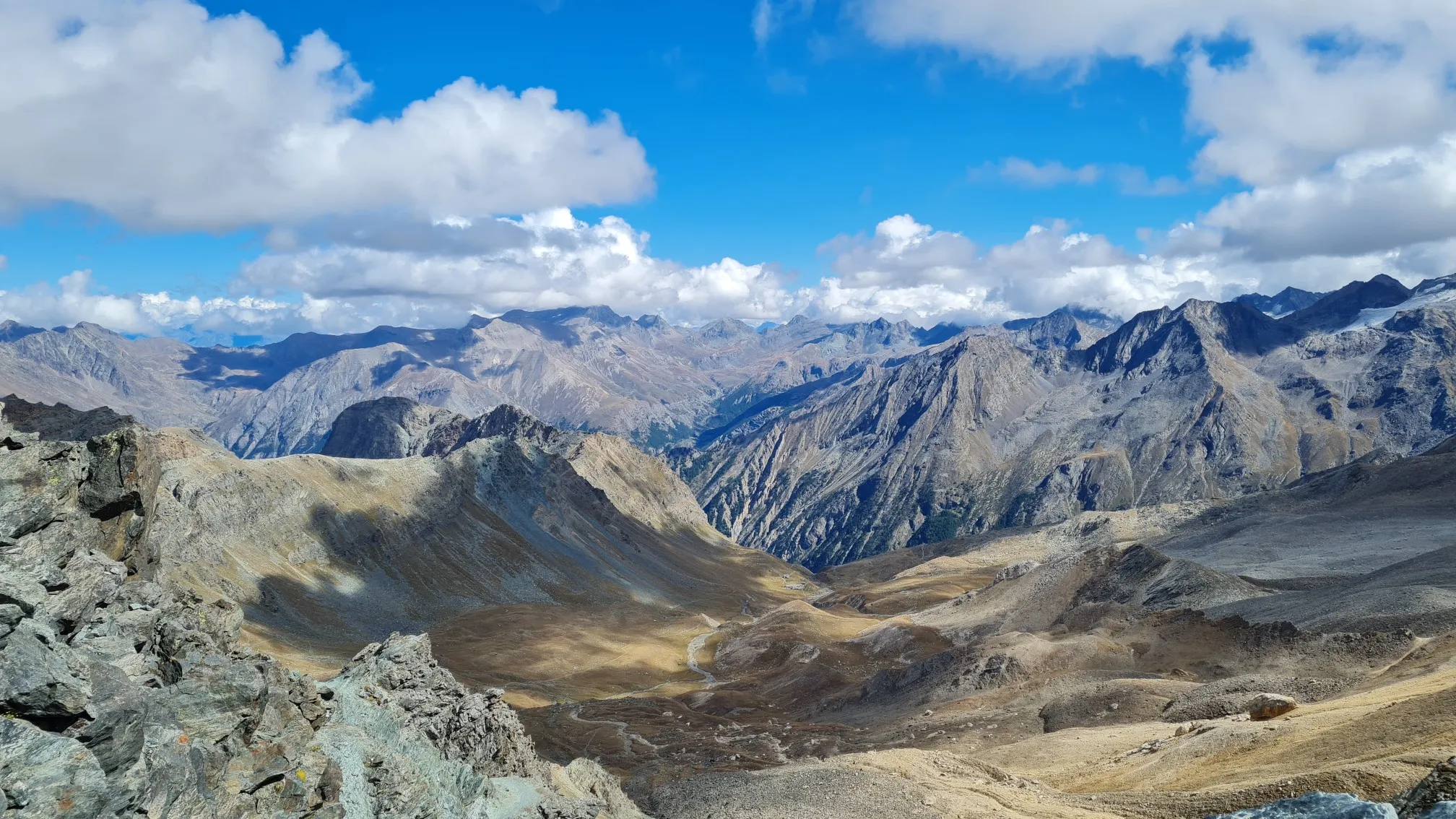
이탈리아 알프스의 트레일 러닝 모험 - 지로 델 그란 파라디소
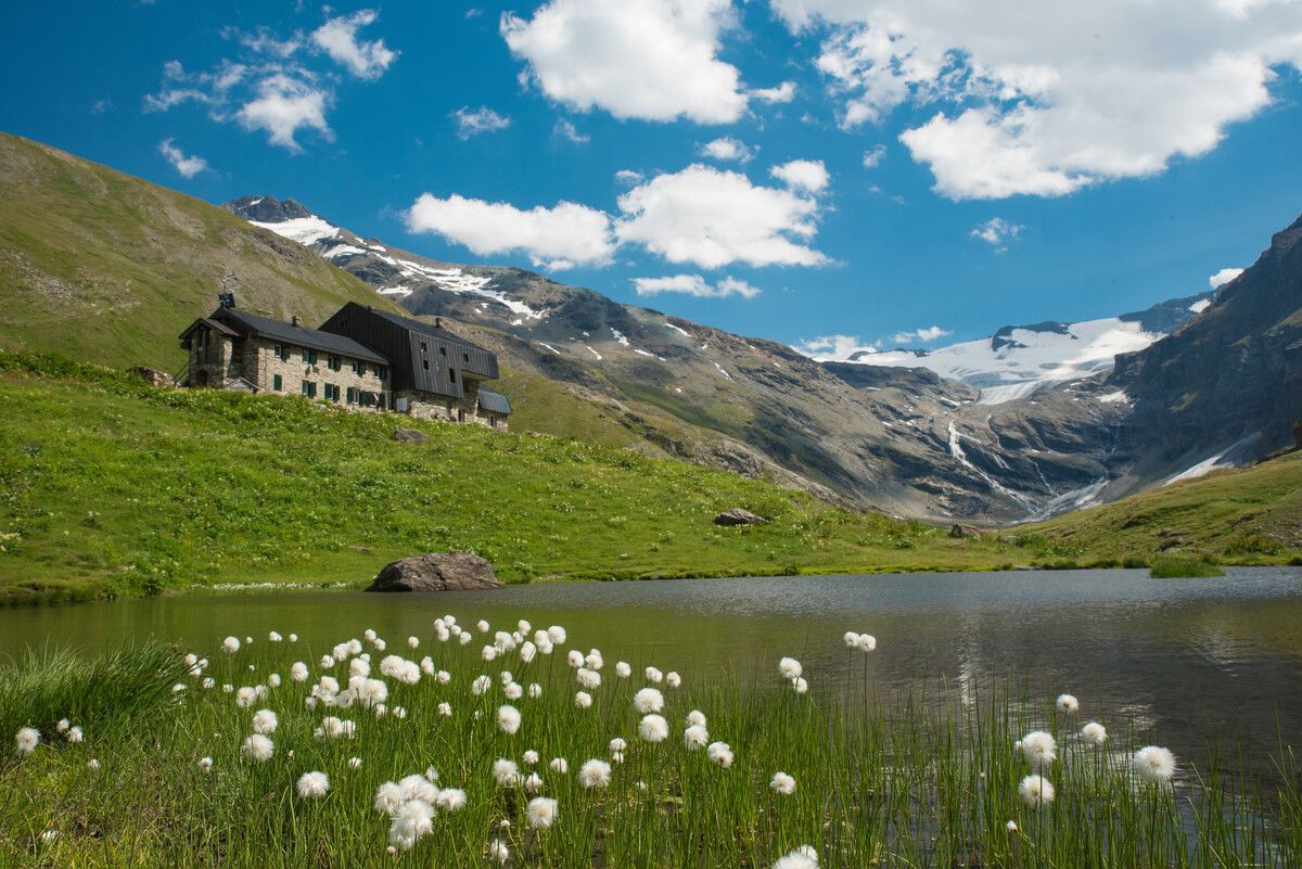
Hiking to the Aosta Valley’s mountain huts: 10 beautiful trails

Alta Via n. 2 of the Aosta Valley — high peaks and beautiful valleys in Italy
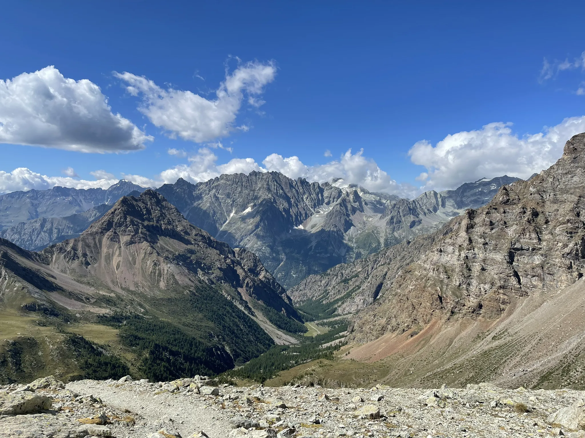
가개 과제도 가리스타일 검색은 한다시 - Tor des Géants
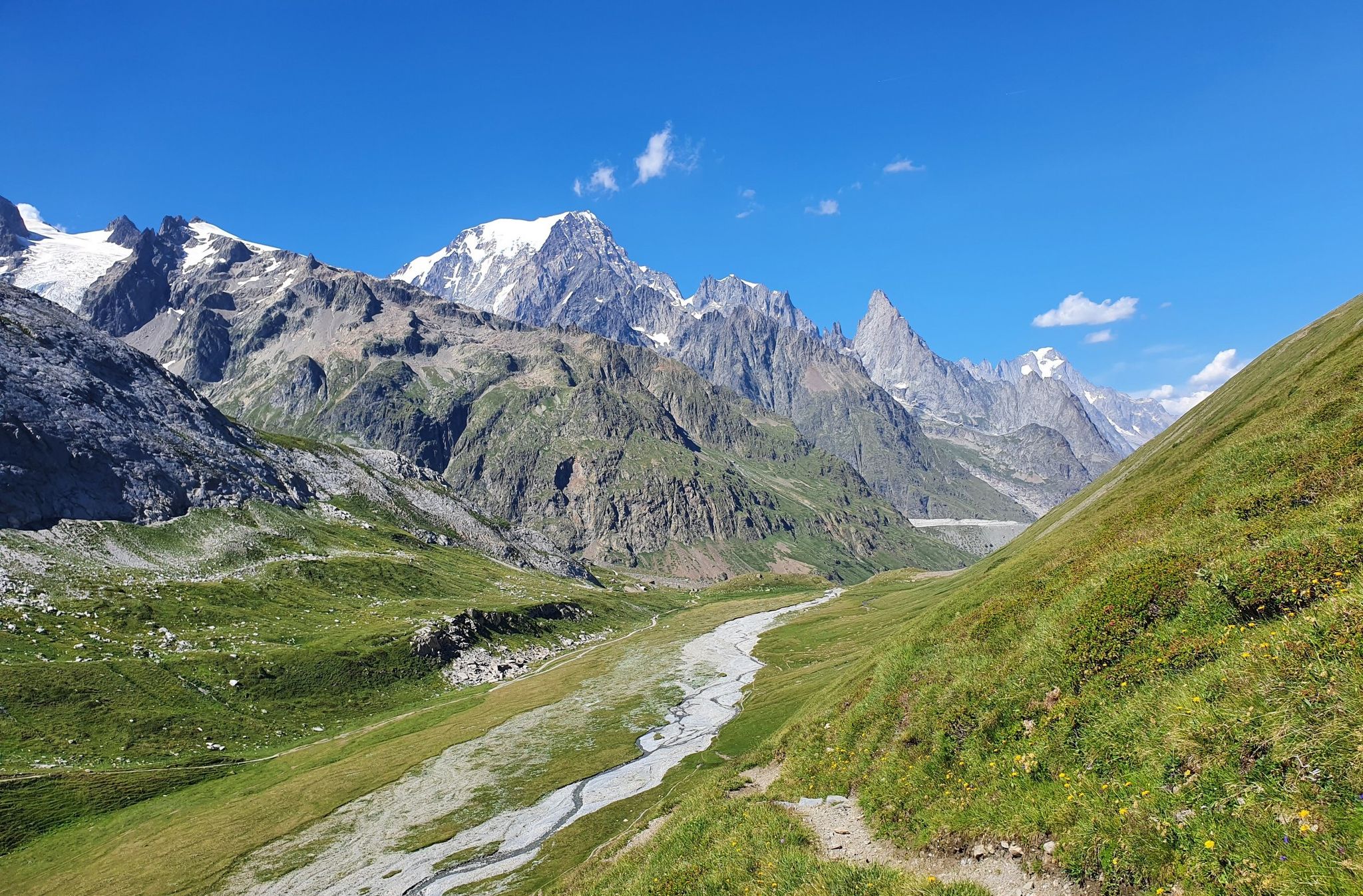
이탈리아의 높은 고대와 아름다운 계곡 - 아오스타 계곡의 알타 비아 트레일
이트리아 일제 이반화한 이용 자도 스타랜드
깔끔한 아스팔트로 구름으로
발사바렌체 하이킹
발사바렌체 러닝 트레일
발사바렌체 사이클링
발사바렌체 주변의 다른 모험


커뮤니티 팁

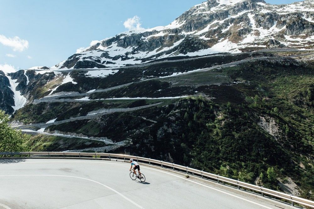
The road that draws an "S" on the dam is very scenic. All that remains is to tackle the last hairpin bends to the top and then enjoy the most beautiful view of the Alps and perhaps the world...
0
0

Ridiculous climb, road and valley, first 4 km with some hard but balanced stretches of flat ground, the last 7 km are tough. Very degraded asphalt, with eight sectors where the road has been restored after landslides, then asphalt disappeared. There are 8 drainage grates to watch out for, they cross the road and are made of iron rods that fit a 25 tire comfortably. With a road bike, to be avoided on days of uncertain weather, the road sees the constant presence of stones and armrests, with water I think it's a mess.
0
0

The climb of Colle del Nivolet is among the most exciting and fascinating of the Piedmont Alps, I always recommend Alba and Tramonti when the light transforms the landscape into pure magic!
0
0

for updated info due to recent landslides on the road read here ➡️ http://www.rifugiopontese.it/ and/or contact the Pontese Refuge which can be reached on foot from the Sernior area
0
0

At an altitude of 2625 metres, Colle del Nivolet marks the border between Piedmont and Valle d'Aosta. Going up from Ceresole Reale the road is entirely asphalted and therefore quite busy. Spectacular views 🤩🏔️
2
0

The route is no longer accessible, the electricity company no longer even allows hikers (you risk a fine for infringement of private property)
1
0

Lake Agnel is part of a wonderful alpine environment, possibly the most beautiful and spectacular thing I have seen in the Alps. As soon as you leave behind Lake Serrú, an artificial dam, you reach this natural lake after a short descent. Leaving it behind in the direction of the Colle del Nivolet, the views from above are great. Beauty cannot be seen in photos nor described in words... you have to feel it arriving there by bicycle.
0
0

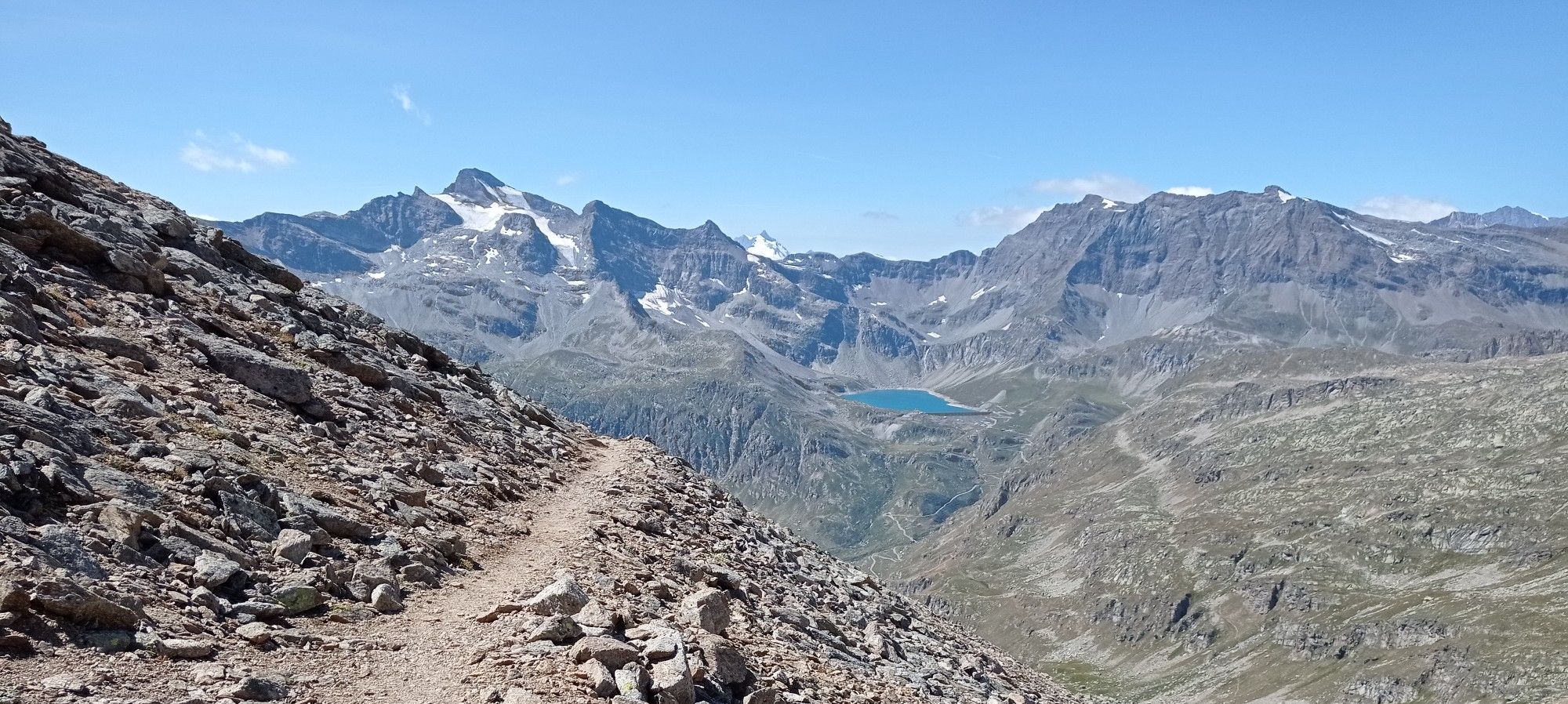
Going up towards Nivolet, you can stop at a highly panoramic point where you can photograph the lakes.
1
0


더 살펴보기
발사바렌체 주변에서 완벽한 호수를 아직 못 찾으셨나요? 이 지역의 가이드를 확인하여 더 아름다운 장소를 찾아보세요.
