라 툴레 최고의 워킹 & 하이킹 경로
4.4
(2021)
13,854
등산객
140
하이킹
정확한 경로를 찾는 것이 때로는 어렵지만 라 툴레에서 하이킹을 하면 다양한 경치를 마음껏 감상할 수 있답니다. 라 툴레에서 가장 멋진 하이킹과 워킹 중에서 마음에 드는 활동을 시작해보세요.
마지막 업데이트: 8월 30, 2026
4.8
(277)
1,305
등산객
11.0km
04:08
420m
420m
Embark on a moderate hike along the Col de la Croix historic trail, a 6.9-mile (11.0 km) route that winds through the stunning alpine landscapes of the Aosta Valley. This…
4.8
(163)
1,021
등산객
18.7km
07:53
1,080m
1,080m
Embark on the Alta Via 2 of Aosta Valley: Stage 3, a difficult 11.6-mile (18.7 km) hike that challenges you with a significant 3532-foot (1077 metres) elevation gain. This demanding…

무료 회원 가입
4.7
(156)
1,062
등산객
15.3km
05:53
740m
740m
Embark on a difficult hike to the Cascate del Rutor, Italy's largest waterfalls, covering 9.5 miles (15.3 km) with a significant 2418 feet (737 metres) of elevation gain. This challenging…
4.8
(101)
556
등산객
12.6km
06:06
900m
900m
어려운 하이킹. 우수한 체력 필요. 튼튼한 신발을 신고 미끄러지지 않게 조심해야 하며, 높은 산을 오른 경험이 있어야 함.
4.9
(83)
495
등산객
7.75km
03:47
570m
570m
Hike to the powerful Cascate del Rutor waterfalls and the serene Lacs du Glacier, gaining 1863 feet over 4.8 miles.
더 다양한 경로와 다른 탐험가들의 추천을 살펴보세요.
무료 회원 가입
이미 komoot 계정이 있나요?
투어 추천은 다른 사람들이 komoot에서 완료한 수천 개의 활동을 바탕으로 구성되어 있습니다.
오늘 무료 계정으로 시작하세요
다음 모험이 기다리고 있어요.
로그인 또는 가입하기
라 툴레 주변 인기 장소

Alta Via n. 2 of the Aosta Valley — high peaks and beautiful valleys in Italy
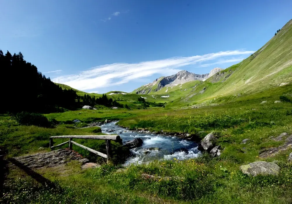
Hiking in La Thuile – the Open-Air Museum
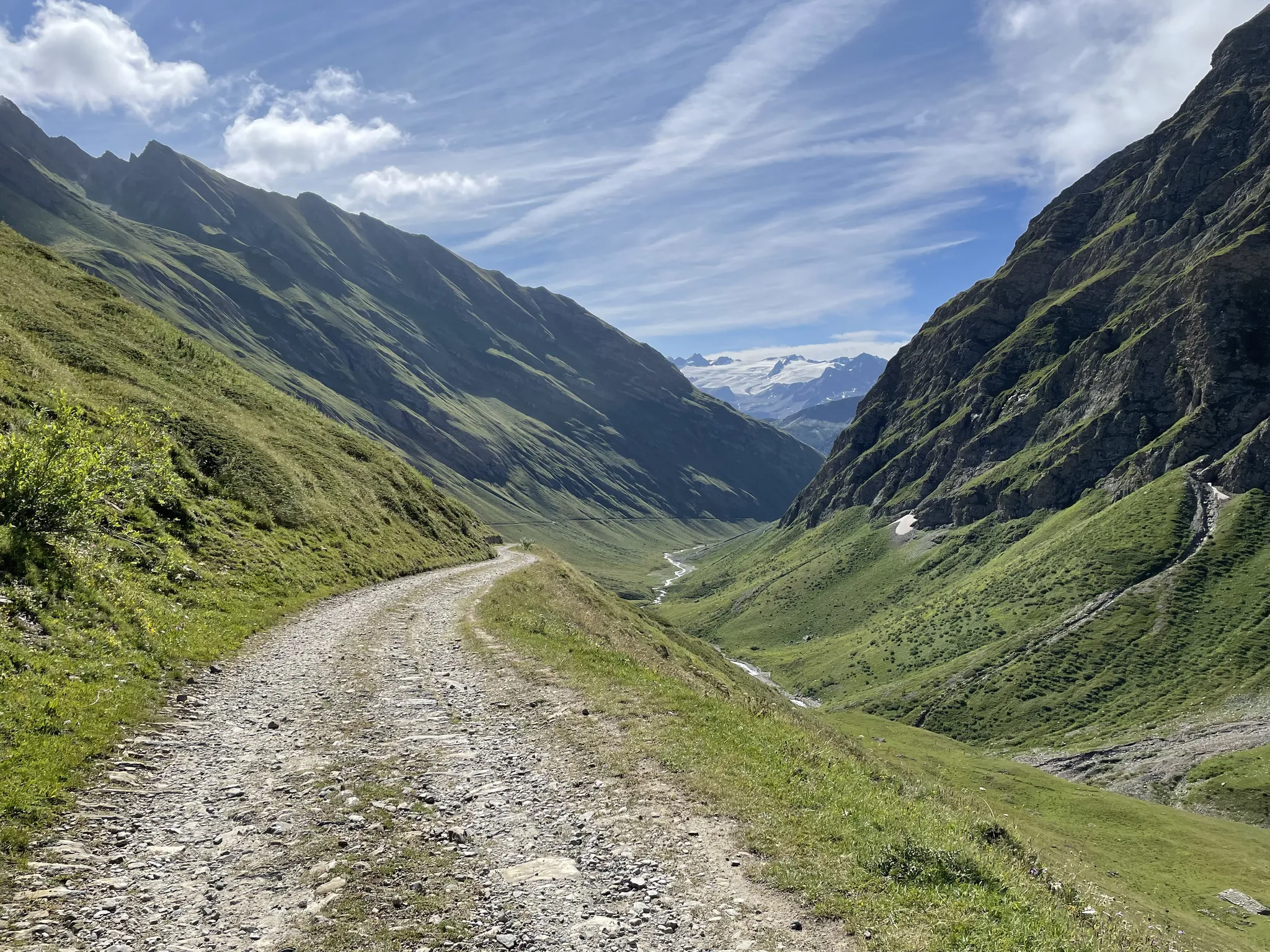
La Thuile Infinity Trekking – eight routes blending history and nature
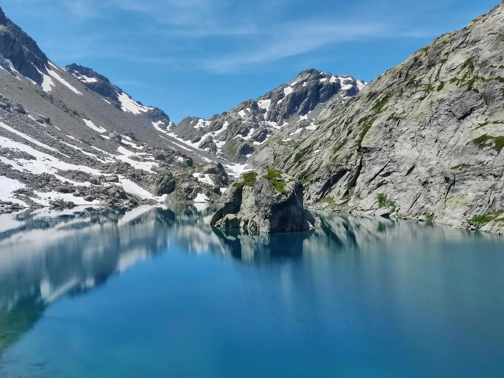
La Thuile Infinity Trekking — 4 routes at altitude with the chairlift
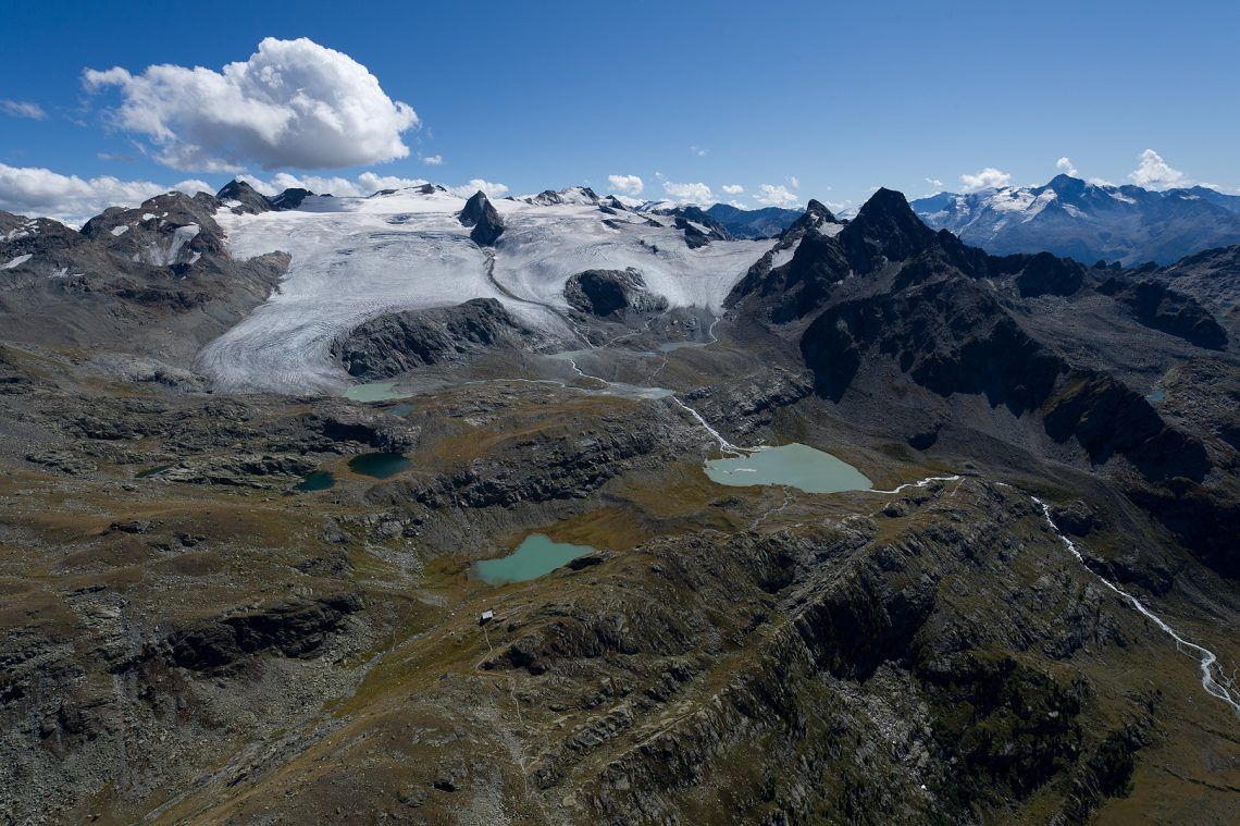
La Thuile Infinity Trekking – 11 routes to discover the Ruitor glacier
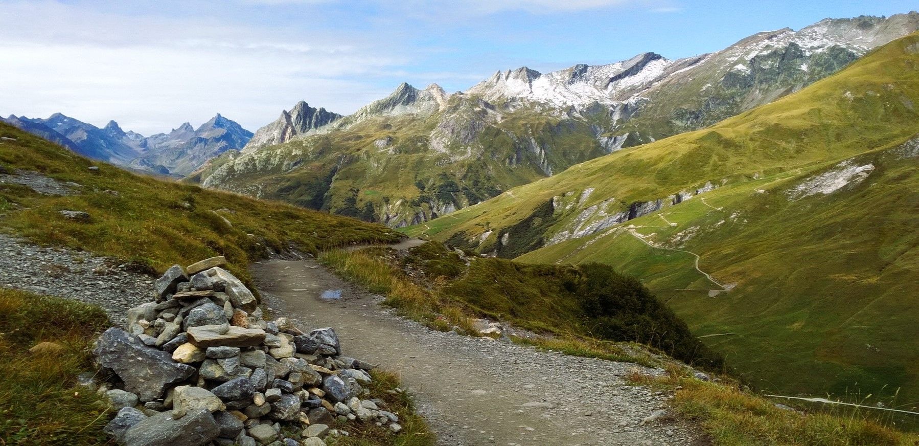
몽블랑 산기슭 - 쿠르마유어 주변을 돌아다니다
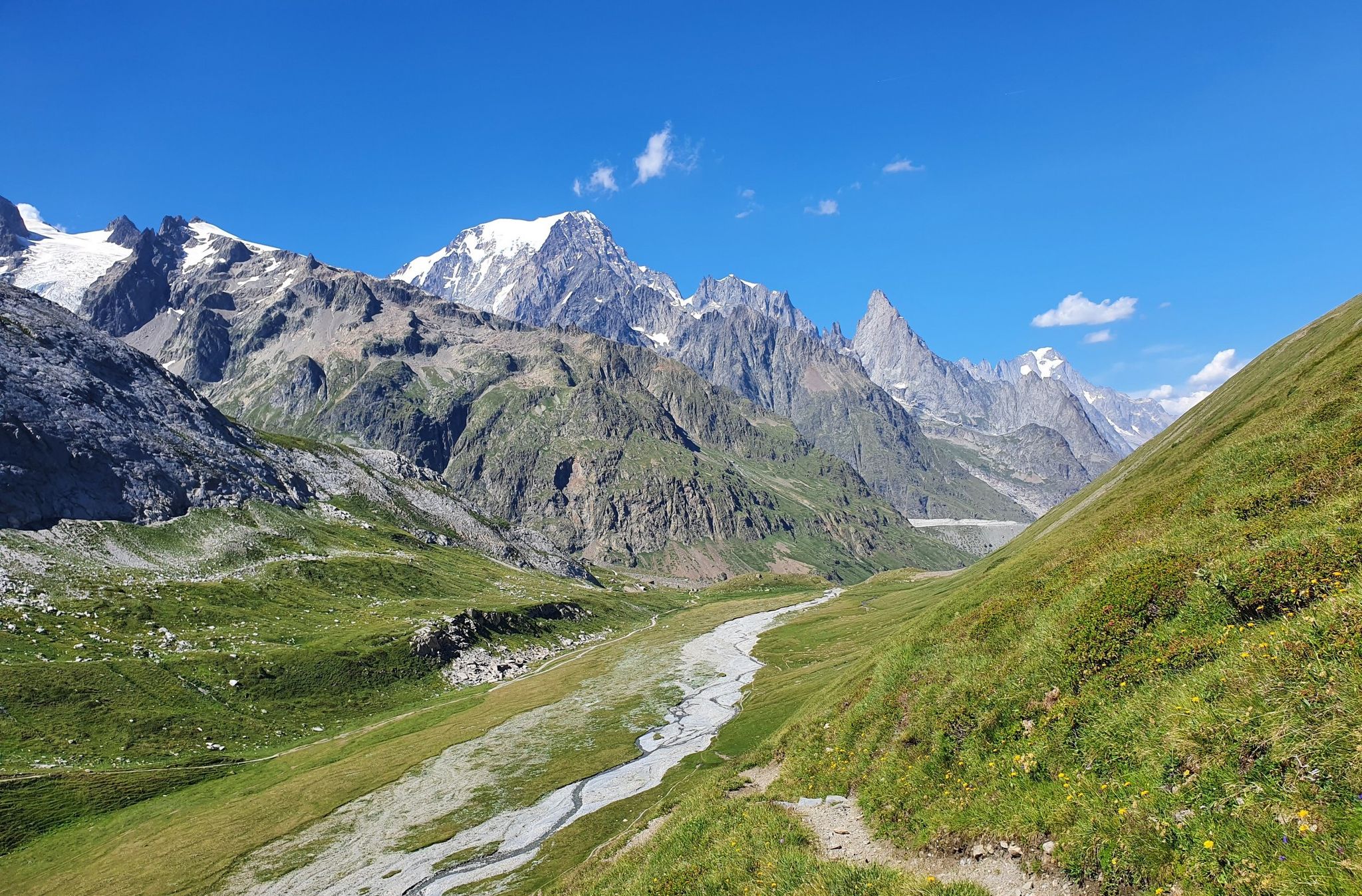
이탈리아의 높은 고대와 아름다운 계곡 - 아오스타 계곡의 알타 비아 트레일
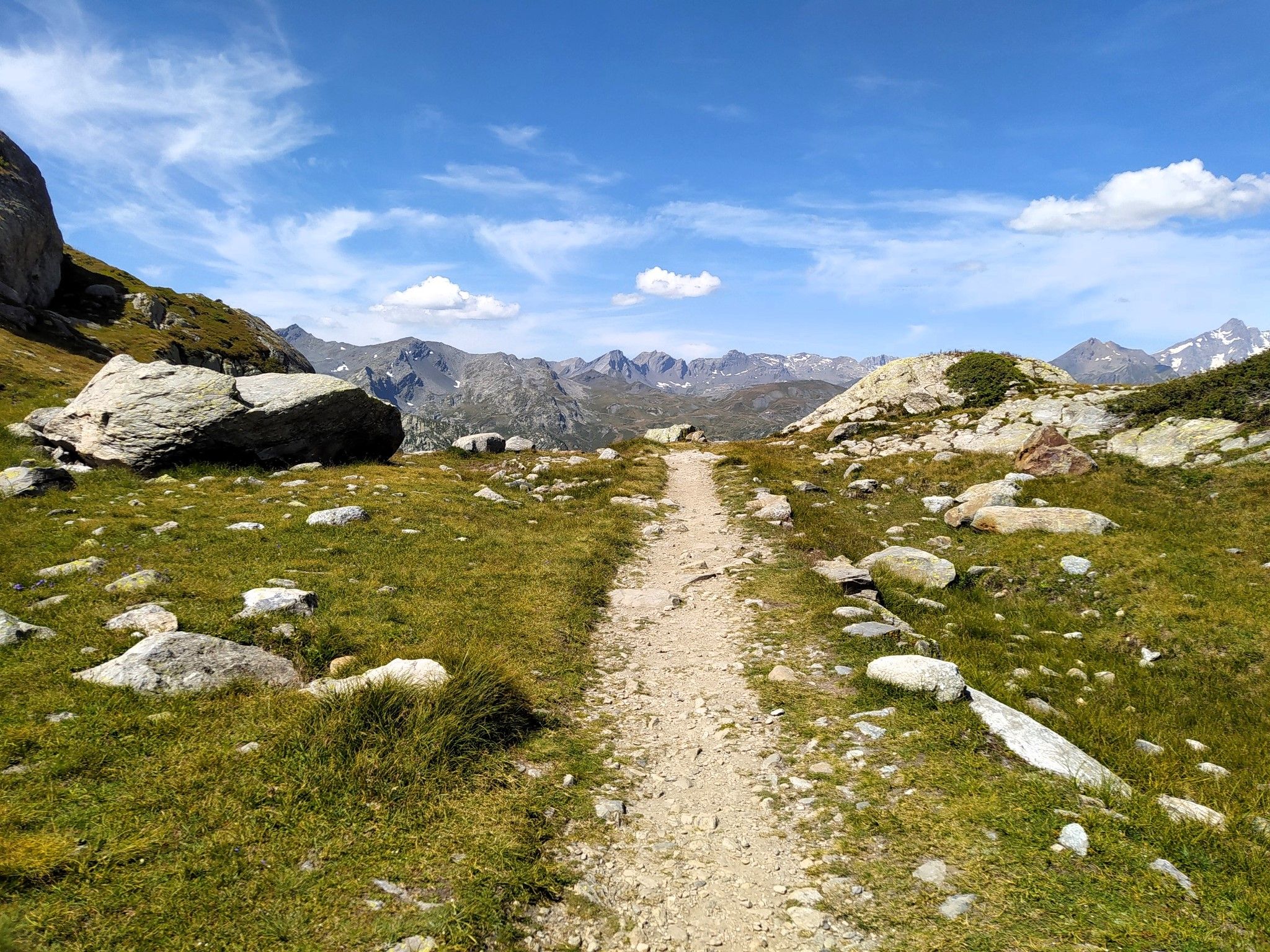
천국에서 달리기 - Valle d'Aosta의 Alta Via 2
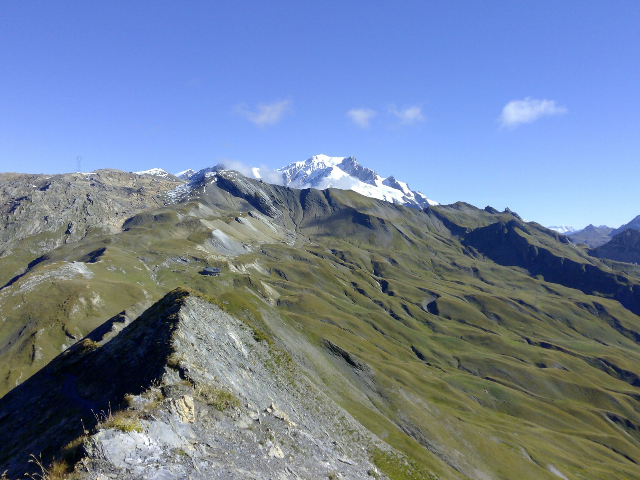
TDS – 이탈리아와 프랑스 사이를 가로지르는 6일간의 野生하며 요구가 높은 트레일
La Thuile Infinity Trekking — in sicurezza con le guide di alta montagna
라 툴레 주변의 다른 모험


커뮤니티 팁

Arriving at the pass, you can see ruins dating back to the time when the two Savoy regions were under Italian rule. These ruins and ramparts served to repel French invasion.
0
0

In the square in front of the main entrance of the Villaret tunnel there are the technical rooms serving the mining activity. The first building to the left of the tunnel entrance housed the compressors that allowed the miners to use compressed air hammers and forced ventilation, as well as the rooms for converting electrical energy. In the low and long building to the right of the tunnel there were: • the lamp factory, for supplying the carbide lamps to be used in the tunnel and for their maintenance, • the forge for working the tools and especially the tips of the pneumatic hammers, • the carpentry shop for treating the wood to be used to support the tunnels. In the square other buildings were subsequently built, used as warehouses and garages as well as workshops for the maintenance of the locomotives. In more recent times one of them was transformed into a chapel serving the Father Kolbe holiday home. The yard was crossed by tracks for the transit of the trains that carried the waste material outside, which was then deposited on the slope towards the Dora. Tracks also arrived from the opposite side of the slope, from the Preylet tunnel. The wagons loaded with anthracite passed the small bridge over the Dora and the road, then entered the tunnel to reach, via the descent, the loading station in the tunnel of the train headed for Arpy. After 1959 the tracks carried the coal wagons to the washery located to the west where the anthracite treatment previously carried out in Morgex took place.
1
0

Starting point for many excursions, including the one to the Rutor Waterfalls. Large free parking.
0
0

This beautiful path surrounded by nature offers breathtaking scenery.
0
0

Very pretty hamlet from where the path to the waterfalls starts
0
0
As you go up along the route, I recommend stopping every now and then to observe the wonderful panorama that appears before us
0
0

The Colle della Croce is an Alpine pass located at a difference in altitude of 2,381 metres, from which you can admire a splendid panorama of the Thuile basin and the Mont Blanc group. Continuing a little further on the path you can reach Punta Croce.
1
0


더 살펴보기
다른 지역의 최고의 하이킹를 살펴보세요.
