두에 최고의 워킹 & 하이킹 경로
4.3
(213)
1,292
등산객
23
하이킹
정확한 경로를 찾는 것이 때로는 어렵지만 두에에서 하이킹을 하면 다양한 경치를 마음껏 감상할 수 있답니다. 두에에서 가장 멋진 하이킹과 워킹 중에서 마음에 드는 활동을 시작해보세요.
마지막 업데이트: 8월 30, 2026
4.8
(25)
103
등산객
6.70km
03:31
620m
620m
보통 하이킹. 좋은 체력 필요. 대부분 갈 수 있는 길. 미끄러지지 않게 조심해야 함.
5.0
(1)
14
등산객
12.7km
06:20
1,130m
1,140m
어려운 하이킹. 우수한 체력 필요. 튼튼한 신발을 신고 미끄러지지 않게 조심해야 하며, 높은 산을 오른 경험이 있어야 함.

무료 회원 가입
4.7
(15)
67
등산객
14.9km
04:51
250m
250m
보통 하이킹. 좋은 체력 필요. 대부분 갈 수 있는 길. 미끄러지지 않게 조심해야 함.
4.8
(4)
13
등산객
5.31km
01:58
230m
220m
보통 하이킹. 모든 체력 수준에 적합. 대부분 갈 수 있는 길. 미끄러지지 않게 조심해야 함.
4.3
(3)
10
등산객
7.38km
04:41
790m
780m
어려운 하이킹. 좋은 체력 필요. 튼튼한 신발을 신고 미끄러지지 않게 조심해야 하며, 높은 산을 오른 경험이 있어야 함.
더 다양한 경로와 다른 탐험가들의 추천을 살펴보세요.
무료 회원 가입
이미 komoot 계정이 있나요?
투어 추천은 다른 사람들이 komoot에서 완료한 수천 개의 활동을 바탕으로 구성되어 있습니다.



두에 주변의 다른 모험


커뮤니티 팁


Very panoramic hill, reachable only with bike on your shoulder
0
0

beautiful view of Aosta on the way back and overall little traffic
0
0

Beautiful refuge located on the Alta Via 1 and Tour du Gand Combin route, easily accessible in the summer
0
0

Great spot to take a break and enjoy the view & reflections. There's picnic benches and possibly even a charging point...
1
0

The Letey-Champillon refuge enjoys a panoramic position over the Ollomont valley and the lower Valpelline. This refuge is dedicated to Adolphe Letey, mayor of Doues, who strongly believed in tourism and the potential of this area. Most of the people who pass through here come from or are going towards the Col de Champillon. The terrain is not technical, but is quite steep in some sections. The climb to the top of Mount Chenaille is not far from the refuge, but it is very technical and demanding, so it is not suitable for running.
2
0
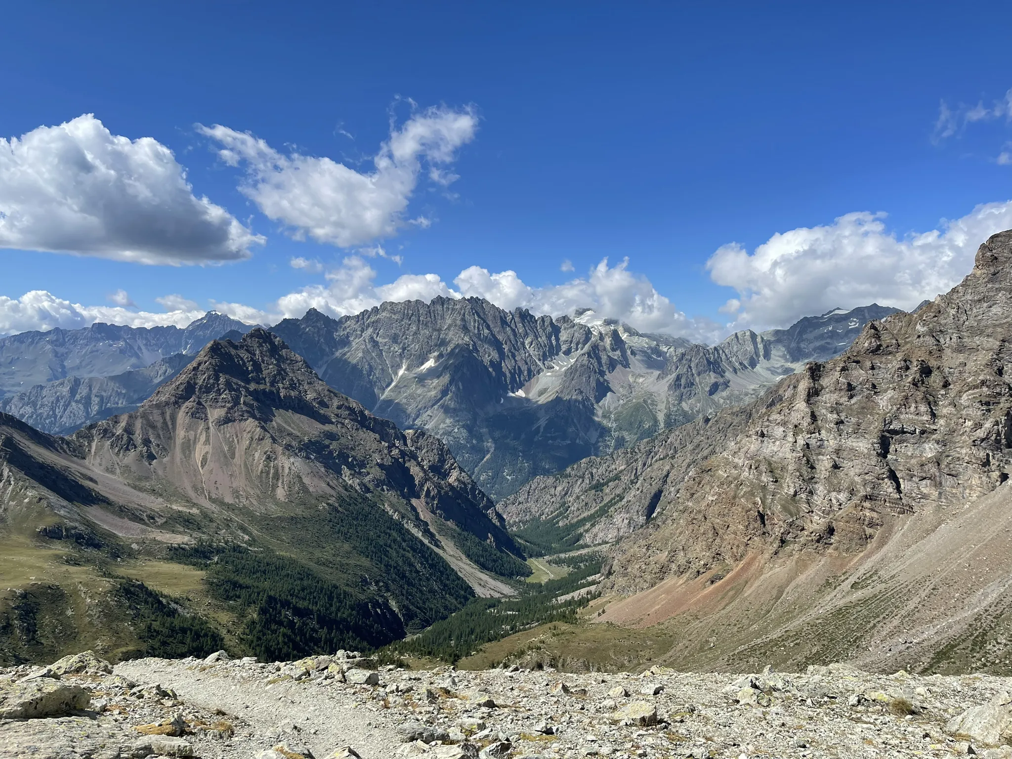
The Col de Champillon, located at an altitude of 2,709 meters, offers a breathtaking panoramic view. From the top of the pass it is possible to admire many legendary peaks, such as Mont Blanc, the southern face of the Grand Combin and, to the south, the Gran Paradiso massif. The terrain gets steep in some sections on both sides, but the trail is easy and non-technical, so you can definitely sprint on the way down.
4
0


더 살펴보기
다른 지역의 최고의 하이킹를 살펴보세요.
