트렌토 최고의 워킹 & 하이킹 경로
4.4
(3091)
17,623
등산객
595
하이킹
정확한 경로를 찾는 것이 때로는 어렵지만 트렌토에서 하이킹을 하면 다양한 경치를 마음껏 감상할 수 있답니다. 트렌토에서 가장 멋진 하이킹과 워킹 중에서 마음에 드는 활동을 시작해보세요.
마지막 업데이트: 10월 24, 2026
4.7
(103)
402
등산객
6.18km
02:07
290m
290m
Embark on the Giro del Sorasass, a moderate 3.8-mile (6.2 km) loop that winds through thick woodland and historic landscapes near Cadine. You will gain 938 feet (286 metres) in…
4.3
(19)
83
등산객
10.4km
04:42
830m
830m
Begin your adventure on the Lagorai Range Trail (via SAT 413), a moderate hike that takes you deep into the wild Lagorai mountains. This route covers 6.5 miles (10.4 km)…

4.3
(12)
125
등산객
5.87km
02:02
300m
300m
Sentiero della Croce offers a moderate hiking experience through varied landscapes. You will cover 3.6 miles (5.9 km) and gain 975 feet (297 metres) in elevation, taking about 2 hours…
4.7
(19)
96
등산객
15.8km
06:24
1,260m
1,260m
The Monte Marzola Loop Trail offers a difficult hiking experience, covering 9.8 miles (15.8 km) with a significant elevation gain of 4135 feet (1260 metres). You can expect varied terrain,…
4.6
(5)
31
등산객
12.0km
03:50
500m
500m
This moderate loop tour near Trento offers a varied hiking experience, covering 7.5 miles (12.0 km) with an elevation gain of 1625 feet (495 metres). You can expect to traverse…
더 다양한 경로와 다른 탐험가들의 추천을 살펴보세요.
이미 komoot 계정이 있나요?
투어 추천은 다른 사람들이 komoot에서 완료한 수천 개의 활동을 바탕으로 구성되어 있습니다.




커뮤니티 팁


분재 숲은 규암 잔해의 언덕에 있습니다. 이 건조하고 바람이 많이 부는 토양에서 자란 야생 소나무는 분재를 연상시키는 모양과 크기를 가지고 있어, 숨겨진 멋진 풍경과 탁 트인 전망으로 둘러싸인 매우 독특하고 매혹적인 환경을 만듭니다.
0
0


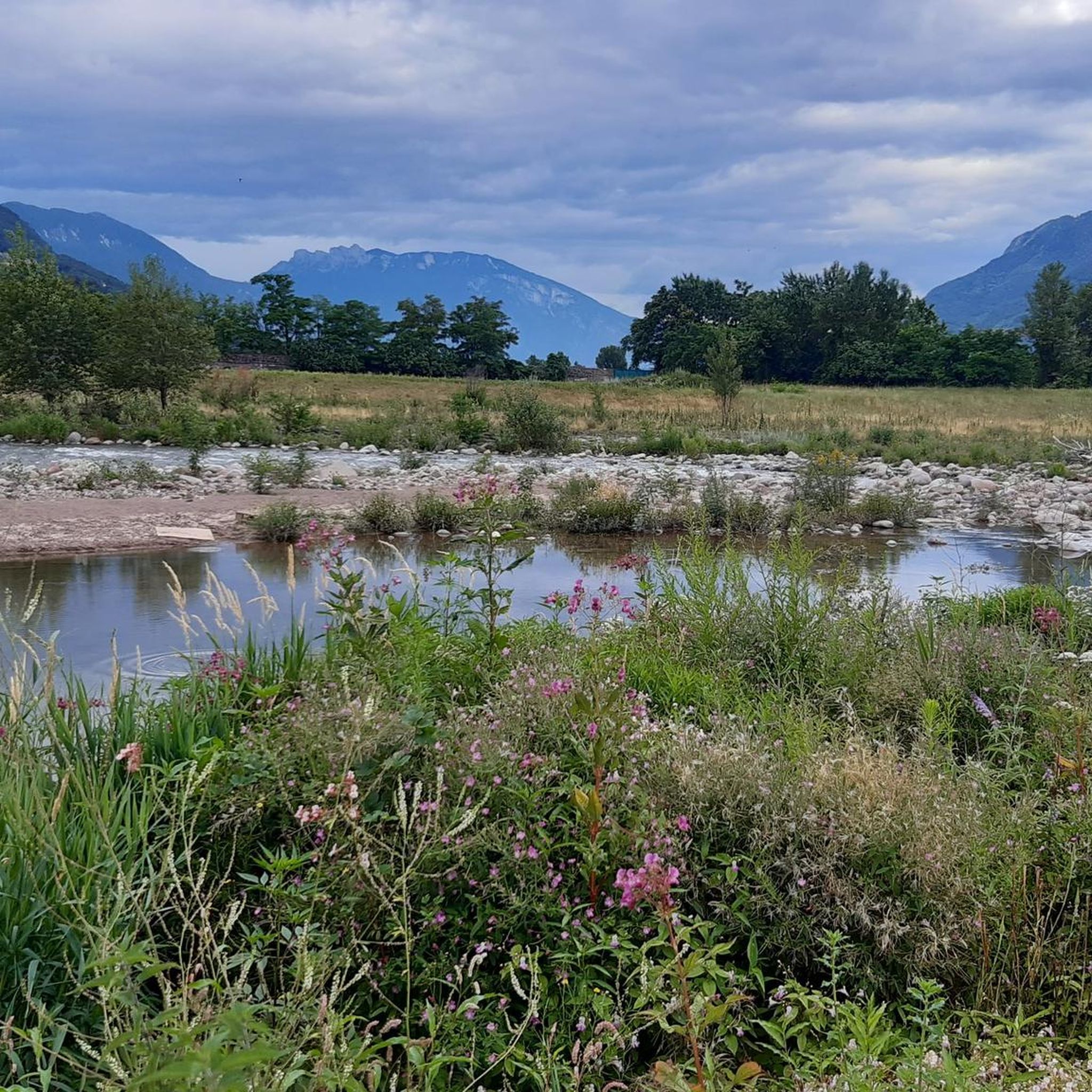
Dos Le Grave (or Doss de le Grave) is one of the most interesting natural areas in the Argentario Ecomuseum, in the Monte Calisio area. It features an important biotope that displays two extremely different environmental typologies: a wetland and an arid zone, located respectively at the foot and on the western flank of Dos. A characteristic of this small, semi-desert-like elevation is the striking presence of bonsai-like Scots pines growing on waste material from silver mining (an activity that affected the entire plateau from the 11th to the 15th century). The arid portion is in immediate contact with the wetland below. This peat bog was formed by the filling of a small lake basin. Small bodies of open water still remain from this basin.
1
0


더 살펴보기
다른 지역의 최고의 하이킹를 살펴보세요.
