본돈 최고의 워킹 & 하이킹 경로
4.3
(578)
2,689
등산객
40
하이킹
정확한 경로를 찾는 것이 때로는 어렵지만 본돈에서 하이킹을 하면 다양한 경치를 마음껏 감상할 수 있답니다. 본돈에서 가장 멋진 하이킹과 워킹 중에서 마음에 드는 활동을 시작해보세요.
마지막 업데이트: 8월 31, 2026
3.5
(8)
21
등산객
17.9km
05:58
780m
780m
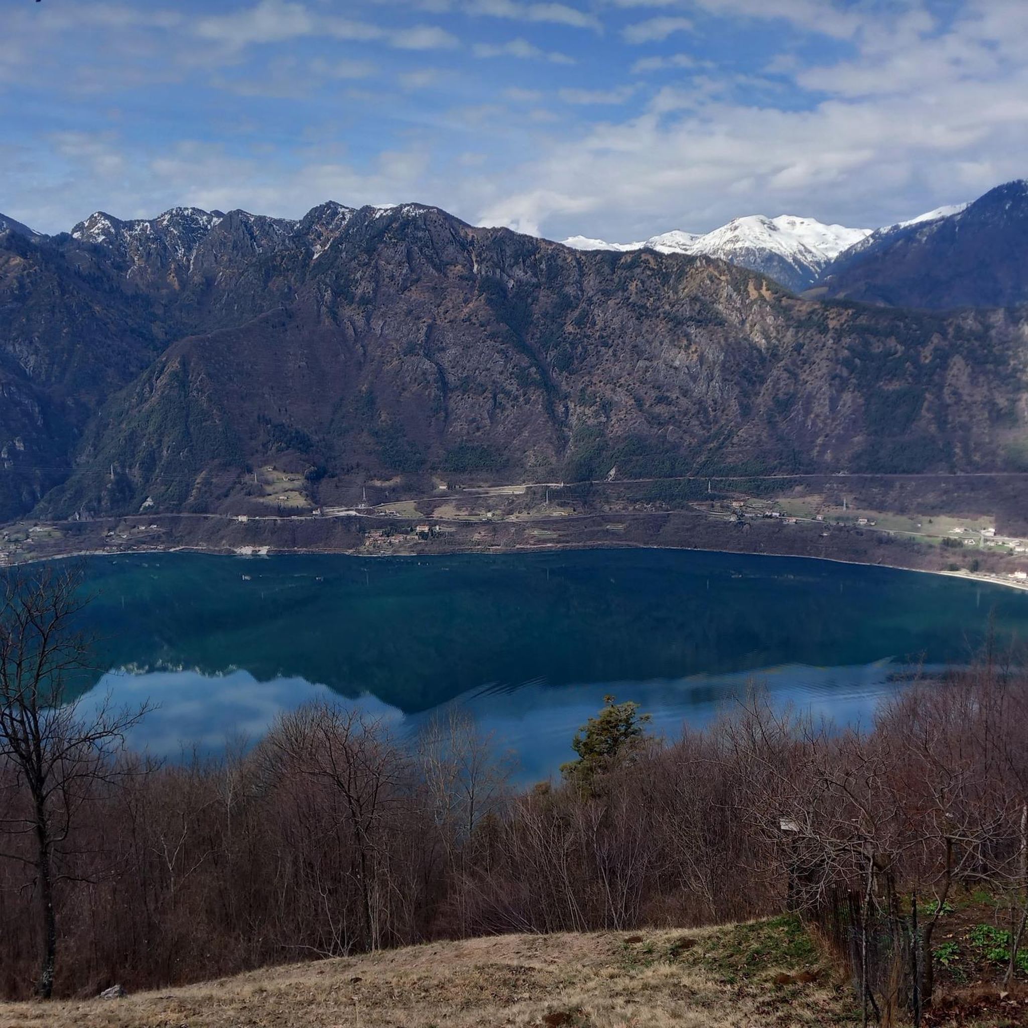
Embark on a difficult 11.1-mile (17.9 km) hike that connects the serene Lake Toblino with the expansive Lake Idro, a journey that typically takes around 5 hours and 57 minutes…
2
등산객
15.1km
05:17
720m
720m
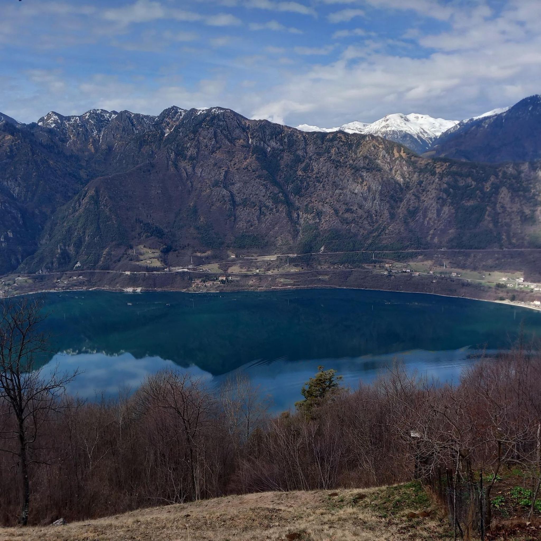
This difficult 9.4-mile hike in Parco Alto Garda Bresciano offers panoramic views of Lake Idro and historic WWI sites, leading to Monte Stin

2
등산객
8.29km
03:32
640m
640m
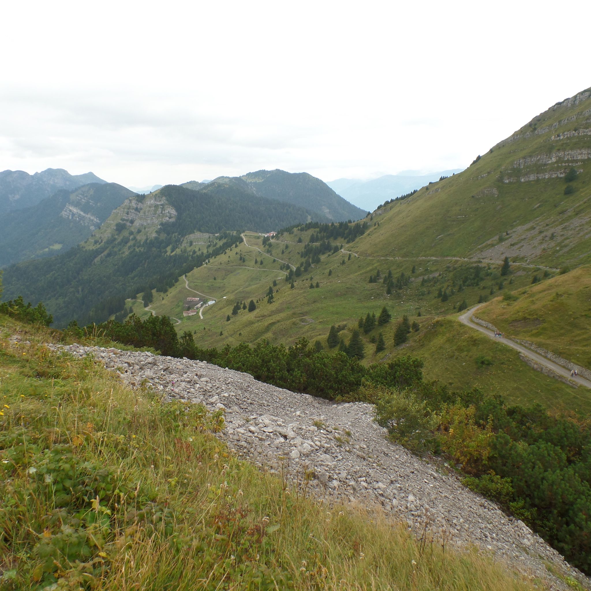
Hike the moderate 5.2 miles (8.3 km) Strada di Valle Trail in Parco Alto Garda Bresciano, gaining 2098 feet (639 metres).
8.27km
03:11
590m
590m
Hike the moderate 5.1-mile Armo - Bocca di Valle Trail in Parco Alto Garda Bresciano, gaining 1946 feet over 3 hours and 10 minutes.
4.7
(78)
485
등산객
8.18km
03:28
430m
430m
어려운 하이킹. 좋은 체력 필요. 튼튼한 신발을 신고 미끄러지지 않게 조심해야 하며, 높은 산을 오른 경험이 있어야 함.
더 다양한 경로와 다른 탐험가들의 추천을 살펴보세요.
이미 komoot 계정이 있나요?
투어 추천은 다른 사람들이 komoot에서 완료한 수천 개의 활동을 바탕으로 구성되어 있습니다.
오늘 무료 계정으로 시작하세요
다음 모험이 기다리고 있어요.


커뮤니티 팁


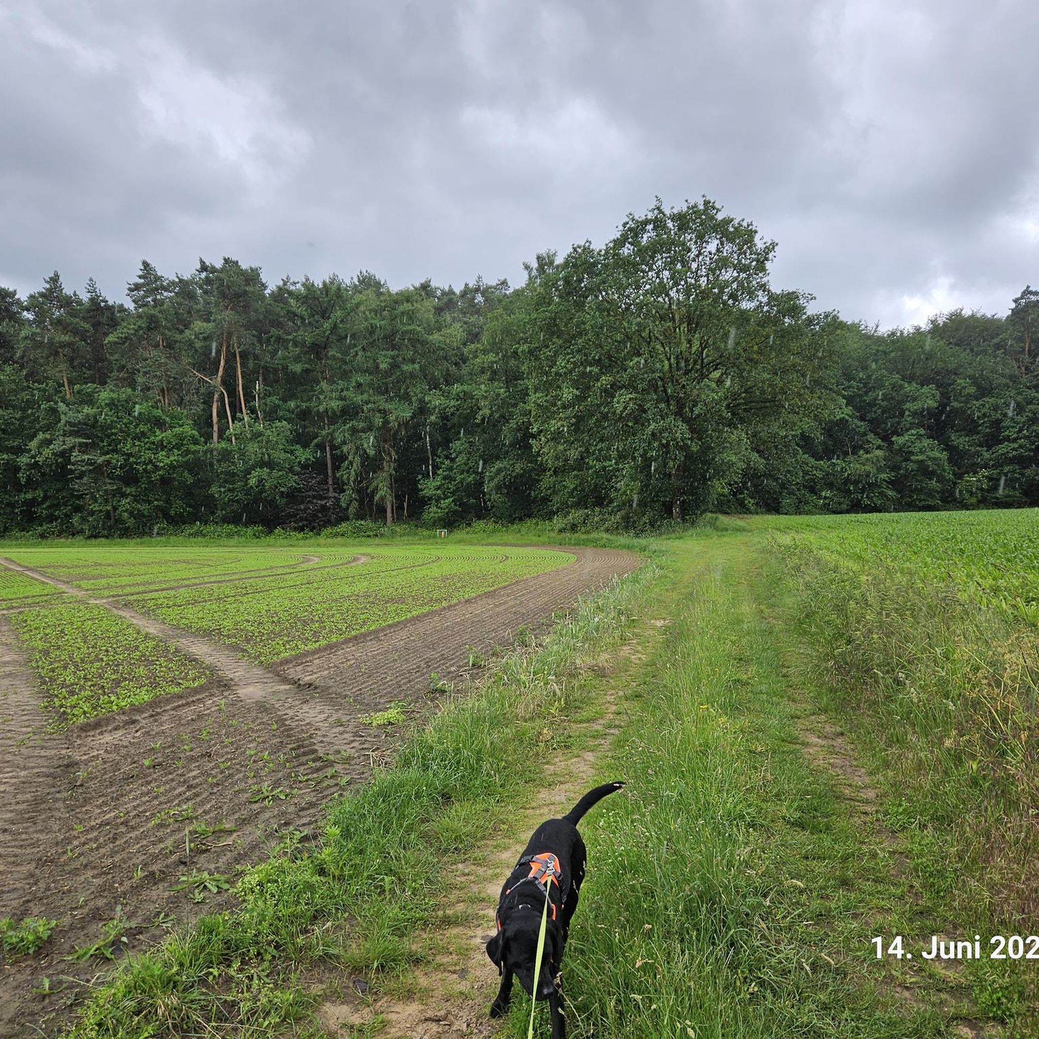
It's a beautiful area where flora and fauna are protected. There are bird observation points that allow you to observe the environment without disturbing others, with raised walkways that allow you to cross marshy areas. The area is absolutely quiet and peaceful, with ample parking.
0
0


The Rifugio Monte Stino, at 1,437 m, is nestled in the Val Sabbia, between Lake Idro and Lake Garda. Opened in 2014, it offers typical local cuisine and large outdoor spaces. There is no possibility of overnight stay. Next to the refuge is the Chiesetta degli Alpini. It is open all year round, but to book and check openings I recommend visiting the refuge website: https://www.facebook.com/people/Rifugio-Monte-Stino
1
0

the path of the pylons (at the junction with the path of the smugglers) has collapsed and, as a warning sign indicates, it is very difficult and has equipped, slippery parts etc. not recommended for those who suffer from vertigo or carry a very heavy backpack. 🍀 (February 2025)
0
0


Second point to observe the species of birds that reside here
0
0


더 살펴보기
다른 지역의 최고의 하이킹를 살펴보세요.
