20의 아크리가지 명소 & 주요 장소
아크리에는 둘러볼 만한 장소가 많답니다. 하이킹 또는 사이클링을 좋아한다면 아크리에 숨겨진 20
가지 보석을 만날 수 있을 거예요. 이 지역의 주요 명소를 살펴보면서 다음 모험을 계획해보세요.
마지막 업데이트: 9월 13, 2026

라 카르보나라 숯 가마, 파르코 나치오날레 델라 실라
하이라이트 • 기념물
번역자 Google •
팁에 의해

이런 장소를 발견하려면 지금 가입하세요
최고의 싱글 트랙, 봉우리 및 다양한 흥미로운 야외 장소에 대한 추천을 받아보세요.

카밀리아텔로 실라노
하이라이트 • 정착지
번역자 Google •
팁에 의해

카미글리아텔로 실라노
하이라이트 • 정착지
번역자 Google •
팁에 의해

무료로 가입하여 아크리 주변의 더 많은 명소를 발견하세요.
이미 komoot 계정이 있나요?
오늘 무료 계정으로 시작하세요
다음 모험이 기다리고 있어요.

커뮤니티 팁

Lake Cecita is one of the artificial basins that has adapted best to the Sila landscape
0
0

After a ride around the lake... time for some serious charging. The local Patate della Sila IGP is not only legendary in taste, but also fuel, which grows thanks to the same water you just passed. Grown right next to the trail, it ends up on your plate before you even have time to take off your helmet😅. Perfect after the kilometers you've racked up.
1
0
The Ciclovia dei Parchi della Calabria runs around the lake. Although the entire Ciclovia is considered a route for experienced cyclists due to the significant elevation gain, the lake section is characterized by a more accessible profile. The sections are dominated by flat or gentle climbs, making it suitable for cyclists with average physical fitness. The surface is mixed, alternating between asphalt and gravel sections (natural surfaces and dirt roads), typical of cycle routes immersed in nature. For this reason, a trekking, gravel or mountain bike is most suitable.
1
0
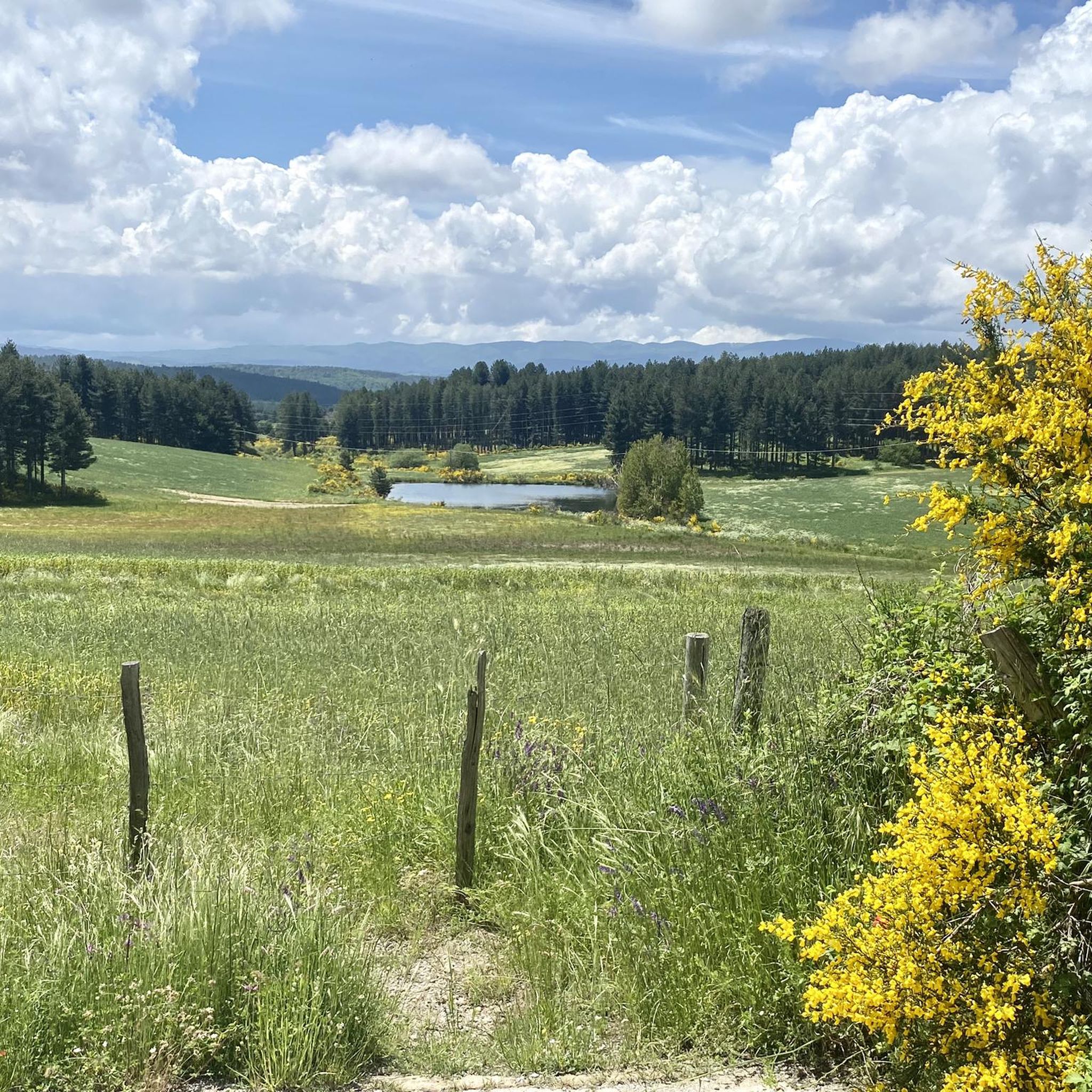
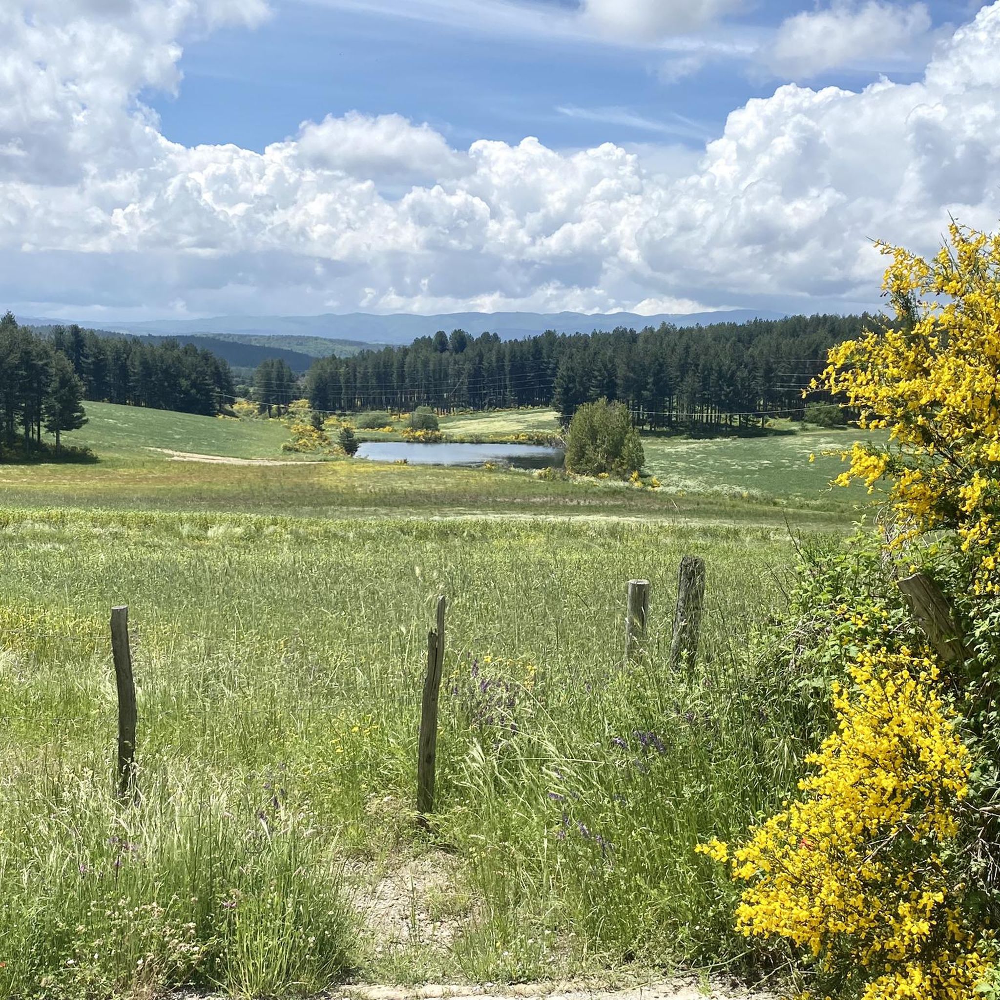
Photos from this place best reflect the natural and wild character of Lago di Cecita, whose surface is located at 1,143 meters above sea level. The forest not only does not end at the water line, but actually penetrates it. Tall conifers and lower shrubs create a dense wall of greenery, the lowest parts of which grow out of the lake's depths. It looks as if nature perfectly incorporated the body of water into the existing forest, creating a harmonious, forest-water scenery.
1
0

Charcoal burning is an ancient craft that is now almost extinct, but in the past it was a decisive factor in the industrialization of entire regions: the blast furnaces of the iron and steel industry, for example, depended on charcoal to reach the operating temperature necessary for melting ore. As a result, entire regions were once completely deforested by charcoal burning, and it is only thanks to later reforestation that forests have grown again and nature can be seen.
1
0
Camigliatello is at the center of many hiking and cycling routes
2
0

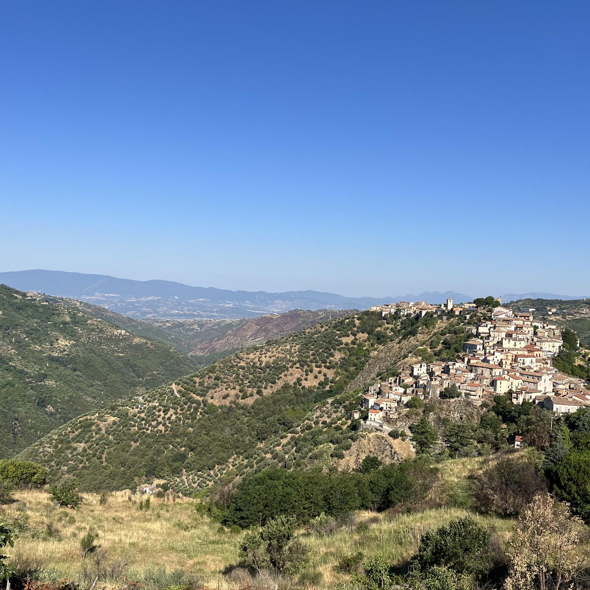
Very nice and crowded town….
4
0

Lake Cecìta rises at an altitude of 1,143 meters and was created in the 1950s by damming the Mucone river. Located in the province of Cosenza, in Sila, it is the largest of the lakes on the Sila plateau, with a water flow of 108 million cubic metres. The lake also preserves an important archaeological heritage, which came to light at the end of the 20th century: the excavations begun in 2004 made it possible to find notable finds throughout the Mucone valley. The oldest evidence dates back to the period of Neanderthal man.
0
0
아크리 주변에서 가장 인기 있는 명소


더 살펴보기
찾고 있는 하이라이트를 아직 못 찾으셨나요? 다른 지역의 주요 명소 가이드를 확인해보세요:
