20의 실라 국립공원가지 명소 & 주요 장소
실라 국립공원에는 둘러볼 만한 장소가 많답니다. 하이킹 또는 사이클링을 좋아한다면 실라 국립공원에 숨겨진 20
가지 보석을 만날 수 있을 거예요. 이 지역의 주요 명소를 살펴보면서 다음 모험을 계획해보세요.
마지막 업데이트: 9월 13, 2026


이런 장소를 발견하려면 지금 가입하세요
최고의 싱글 트랙, 봉우리 및 다양한 흥미로운 야외 장소에 대한 추천을 받아보세요.
이 지간티 델라 실라 자연 보호구역
하이라이트 • 숲
번역자 Google •
팁에 의해

로리카와 아르보 호수
하이라이트 • 호수
번역자 Google •
팁에 의해

발로네 델레 세테 아쿠에
하이라이트 (구간) • 숲
번역자 Google •
팁에 의해
무료로 가입하여 실라 국립공원 주변의 더 많은 명소를 발견하세요.
이미 komoot 계정이 있나요?
오늘 무료 계정으로 시작하세요
다음 모험이 기다리고 있어요.
실라 국립공원 주변 인기 장소

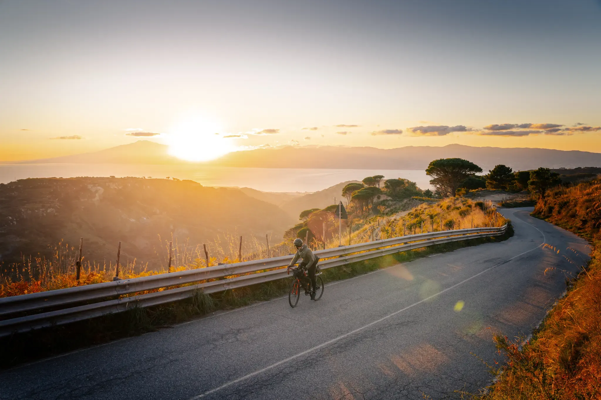
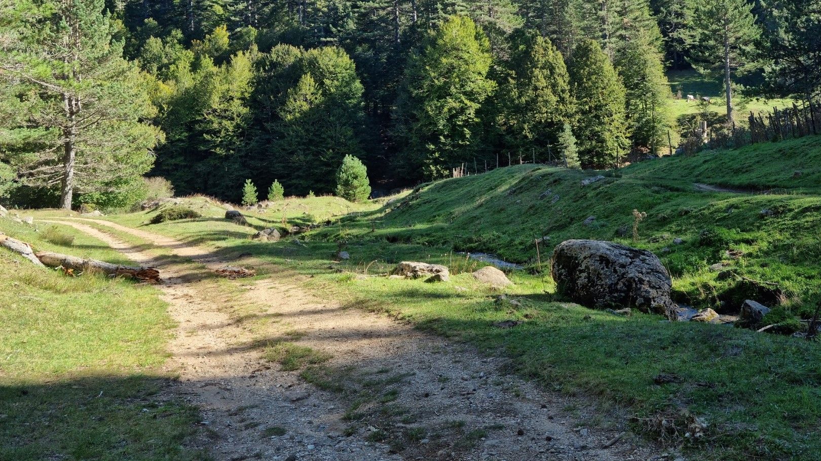
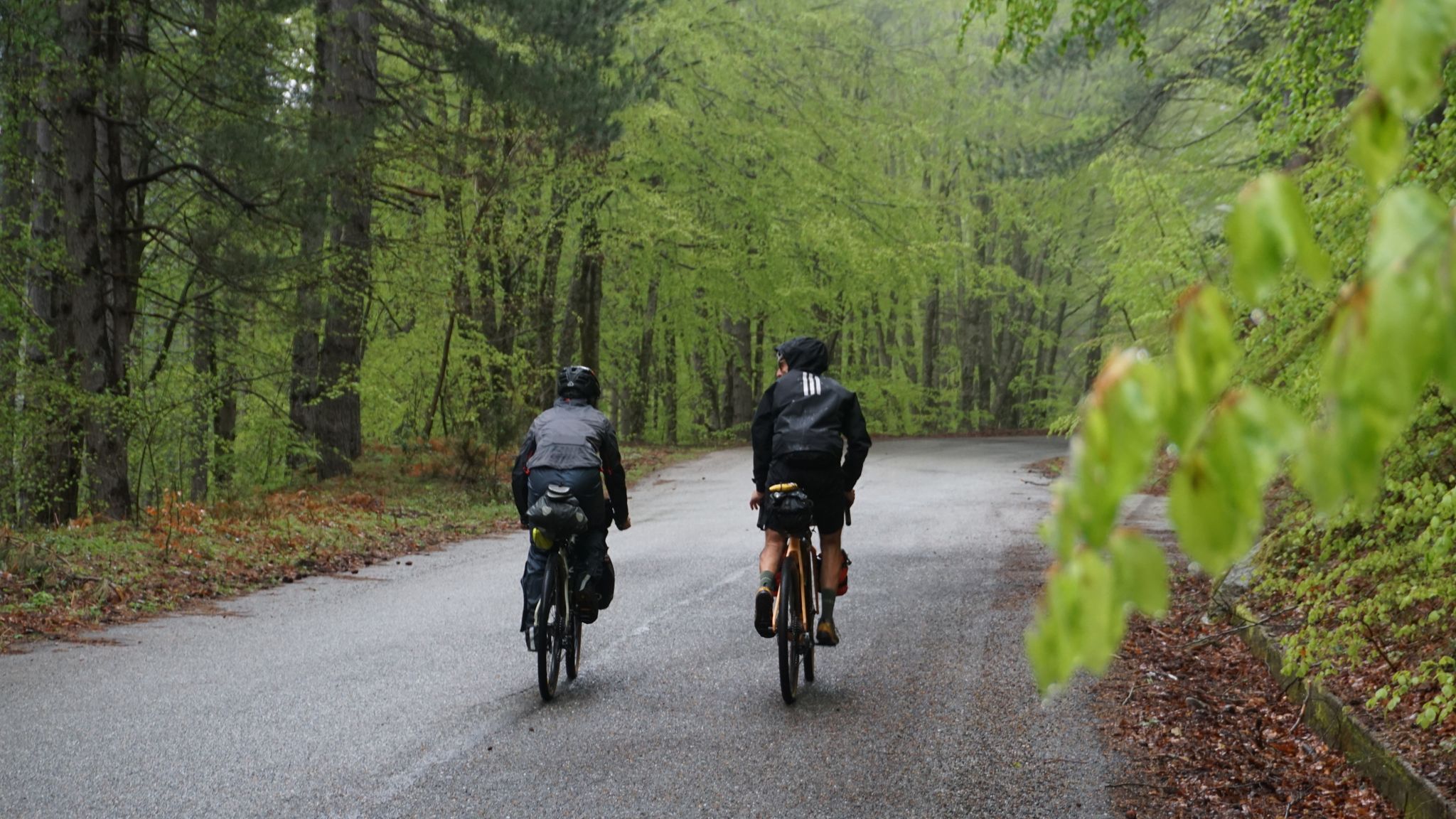

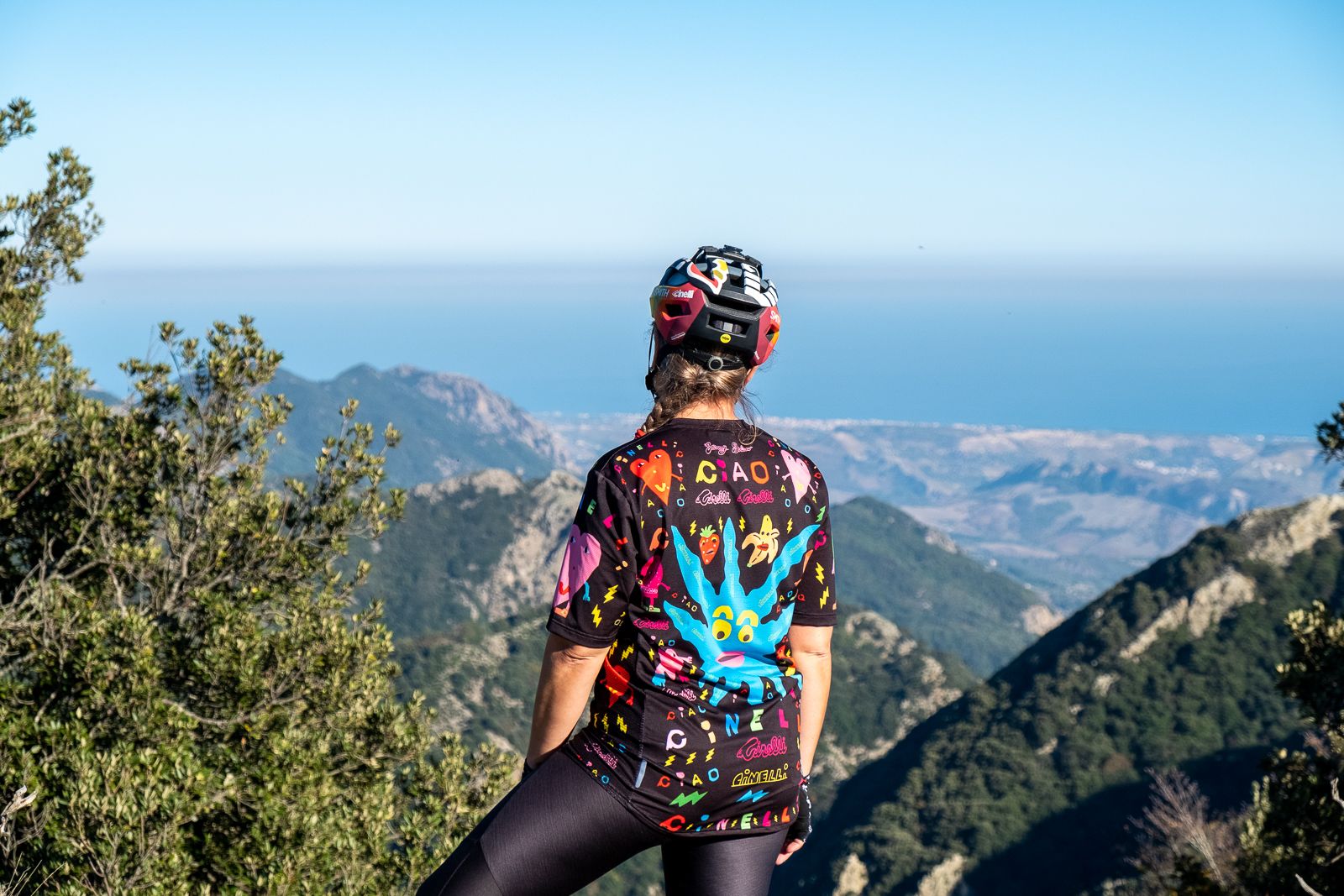
실라 국립공원 주변의 다른 모험


커뮤니티 팁

카밀리아티 공원의 특징적인 모퉁이, 피우지 분수에서 팔리스토 광장으로 향하는 전형적인 경로
0
0

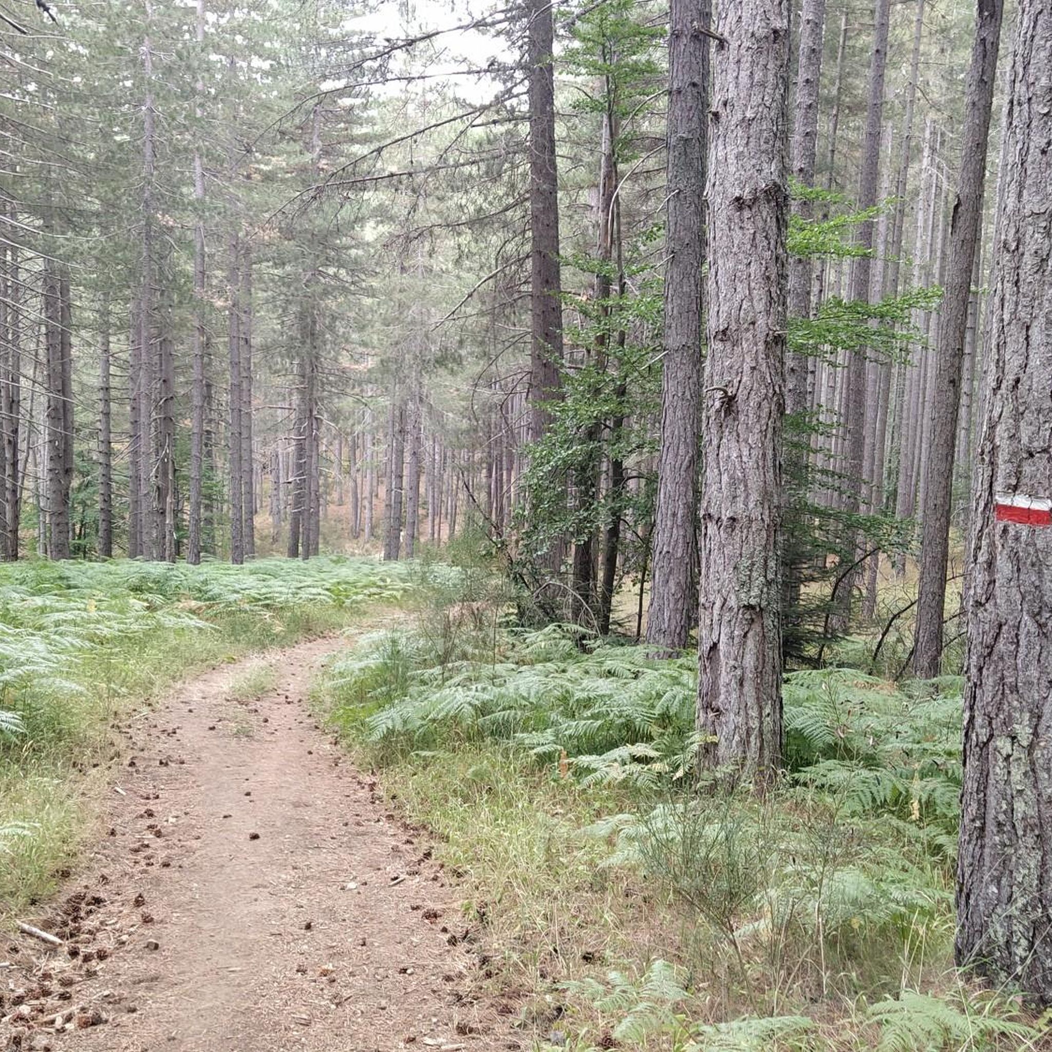
The Sentiero Italia starts right in Camigliatello, near the pharmacy. The first stretch of woodland is flat and runs alongside a stream: one side is covered in beech trees (facing north), while the other is covered in pine trees. Water is so abundant that this valley is known as the "Sette Acque" (Seven Waters).
0
0
One of a kind, this majestic ancient forest in central Calabria has survived intact since the 17th century in the shadow of its imposing "patriarchs," creating a magnificent natural spectacle. https://fondoambiente.it/luoghi/i-giganti-della-sila
2
0

Lake Cecita is one of the artificial basins that has adapted best to the Sila landscape
0
0
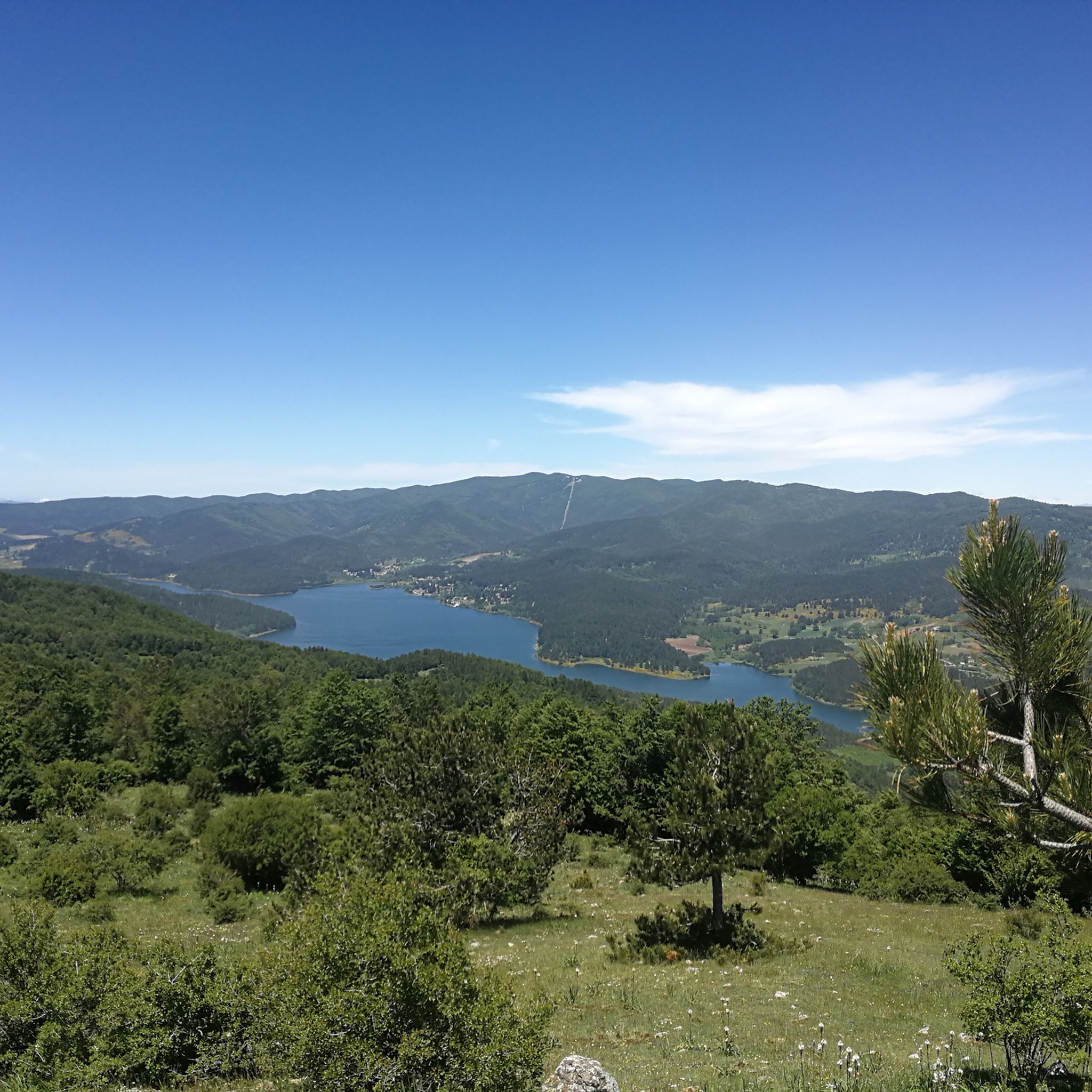
Among the three large Calabrian lakes of the Sila, the Ampollino is certainly the least contaminated and consequently the most authentic to be appreciated by lovers of nature and landscapes.
0
0

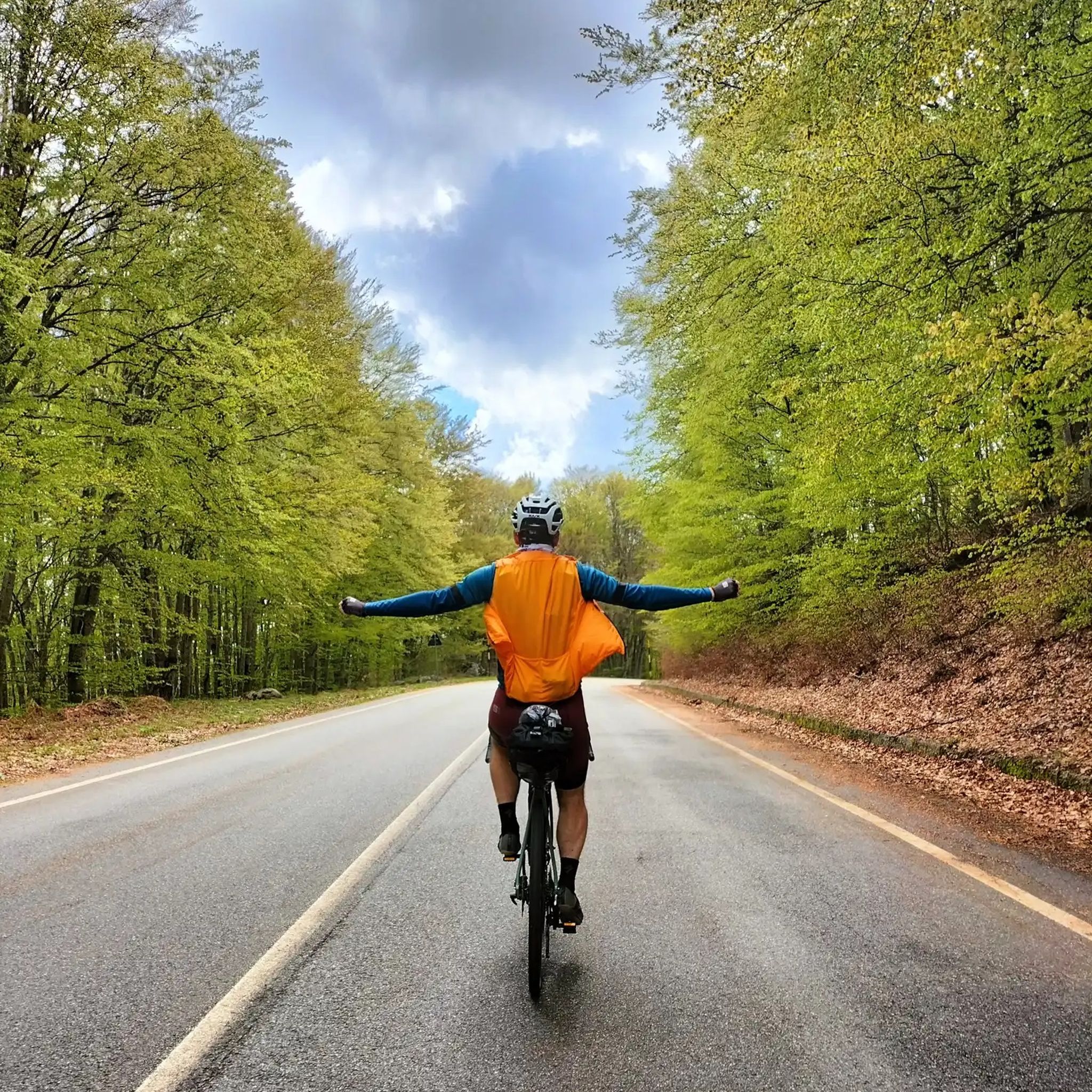
In summer, you can take advantage of numerous cycling routes that lead through diverse landscapes - from mountain spruce forests to water areas of lakes. In winter, the area is home to the Camigliatello Silano ski resort, which attracts skiing and winter sports enthusiasts with its well-prepared facilities and picturesque location in the Sila massif. This is a place more for local skiing enthusiasts and beginners who want to combine active recreation with a vacation in the warm climate of Calabria. If you are looking for more serious skiing routes, you have to go further north in Italy or to the Alps. In Calabria, on the other hand, you will certainly appreciate nature, peace and a unique mountain climate.
1
0
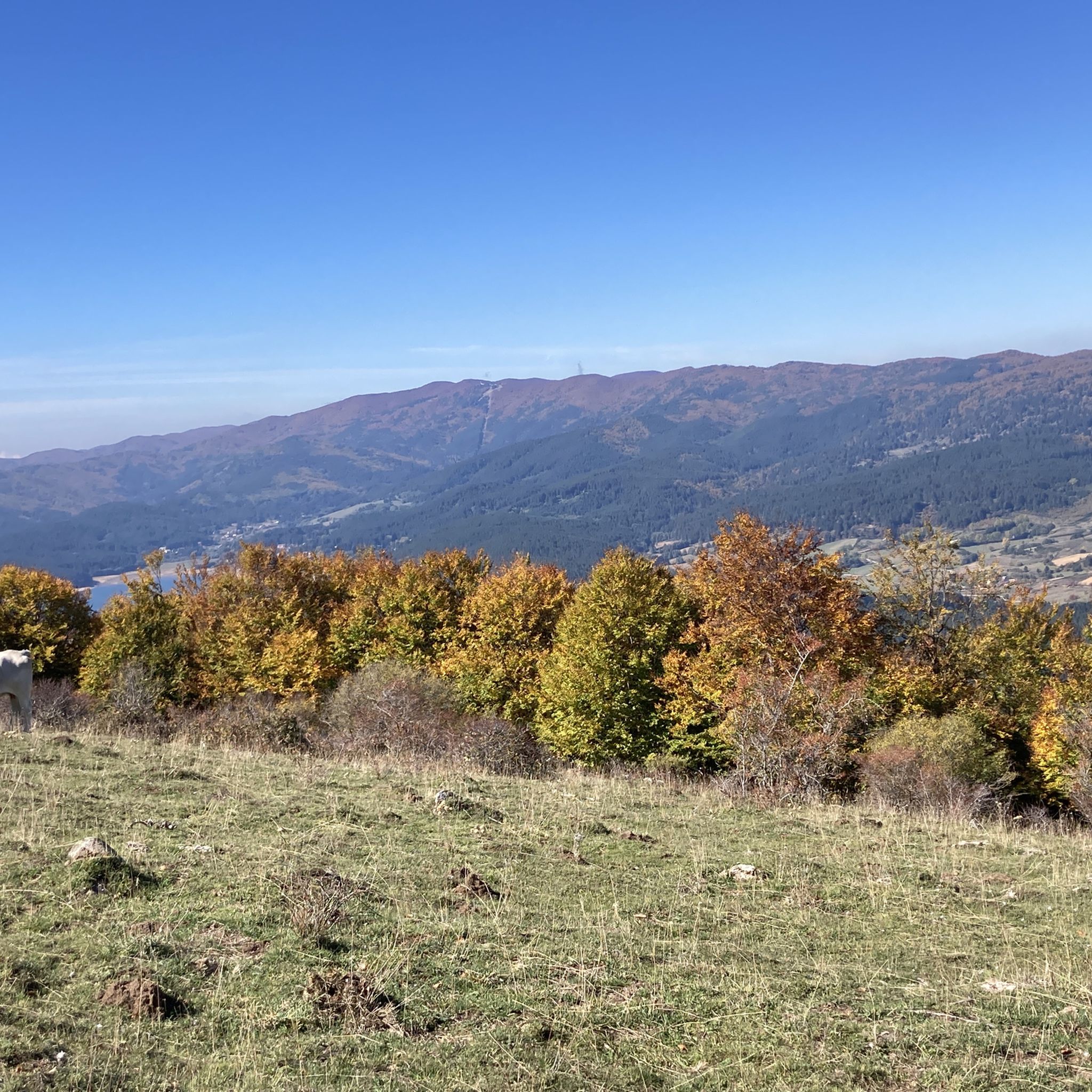
The Ampollino Valley is surrounded by the mountains of the Sila massif, with clearly distinguishable peaks: Scorciavuoi (1627 m above sea level), Gariglione (1623 m above sea level), Zingomarro (1463 m above sea level) and Monte Nero (1747 m above sea level). There are extensive pine, beech and fir forests here, creating a Mediterranean mountain landscape characteristic of the region. The central element of the valley is the artificial reservoir Lago Ampollino, created by a dam (diga) on the Ampollino River. The shores of the lake are overgrown with reed beds and water lilies, and in the area you can see wild animals - deer, wild boars, waterfowl and birds of prey.
1
0
After a ride around the lake... time for some serious charging. The local Patate della Sila IGP is not only legendary in taste, but also fuel, which grows thanks to the same water you just passed. Grown right next to the trail, it ends up on your plate before you even have time to take off your helmet😅. Perfect after the kilometers you've racked up.
1
0
실라 국립공원 주변에서 가장 인기 있는 명소


더 살펴보기
찾고 있는 하이라이트를 아직 못 찾으셨나요? 다른 지역의 주요 명소 가이드를 확인해보세요:
