오베렐츠 최고의 워킹 & 하이킹 경로
4.5
(8648)
29,638
등산객
686
하이킹
정확한 경로를 찾는 것이 때로는 어렵지만 오베렐츠에서 하이킹을 하면 다양한 경치를 마음껏 감상할 수 있답니다. 오베렐츠에서 가장 멋진 하이킹과 워킹 중에서 마음에 드는 활동을 시작해보세요.
마지막 업데이트: 8월 28, 2026
4.8
(33)
107
등산객
22.2km
06:09
400m
400m
어려운 하이킹. 우수한 체력 필요. 실력과 관계없이 누구나 쉽게 갈 수 있는 길.
5.0
(4)
14
등산객
7.12km
01:58
120m
120m
초급용 하이킹. 모든 체력 수준에 적합. 실력과 관계없이 누구나 쉽게 갈 수 있는 길.

무료 회원 가입
5.0
(1)
4
등산객
10.3km
02:51
180m
180m
보통 하이킹. 좋은 체력 필요. 실력과 관계없이 누구나 쉽게 갈 수 있는 길.
4.5
(2)
9
등산객
10.3km
02:49
150m
150m
보통 하이킹. 좋은 체력 필요. 실력과 관계없이 누구나 쉽게 갈 수 있는 길.
4.0
(3)
10
등산객
7.67km
02:08
140m
140m
보통 하이킹. 좋은 체력 필요. 실력과 관계없이 누구나 쉽게 갈 수 있는 길.
더 다양한 경로와 다른 탐험가들의 추천을 살펴보세요.
무료 회원 가입
이미 komoot 계정이 있나요?
투어 추천은 다른 사람들이 komoot에서 완료한 수천 개의 활동을 바탕으로 구성되어 있습니다.
오늘 무료 계정으로 시작하세요
다음 모험이 기다리고 있어요.
로그인 또는 가입하기
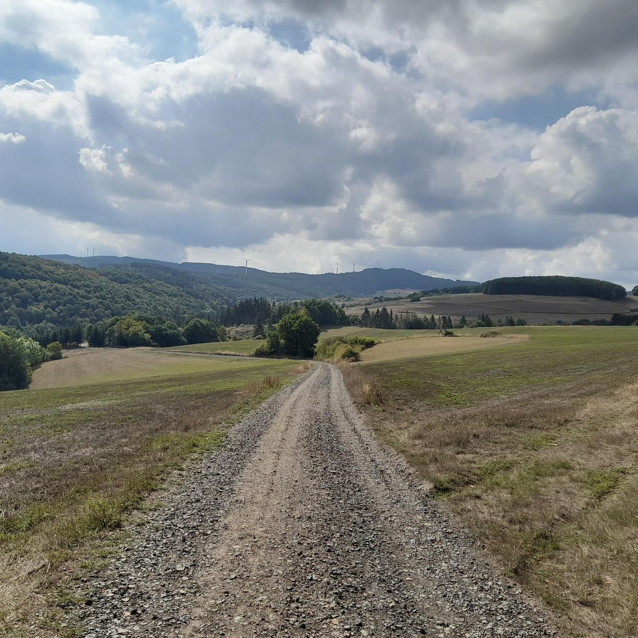
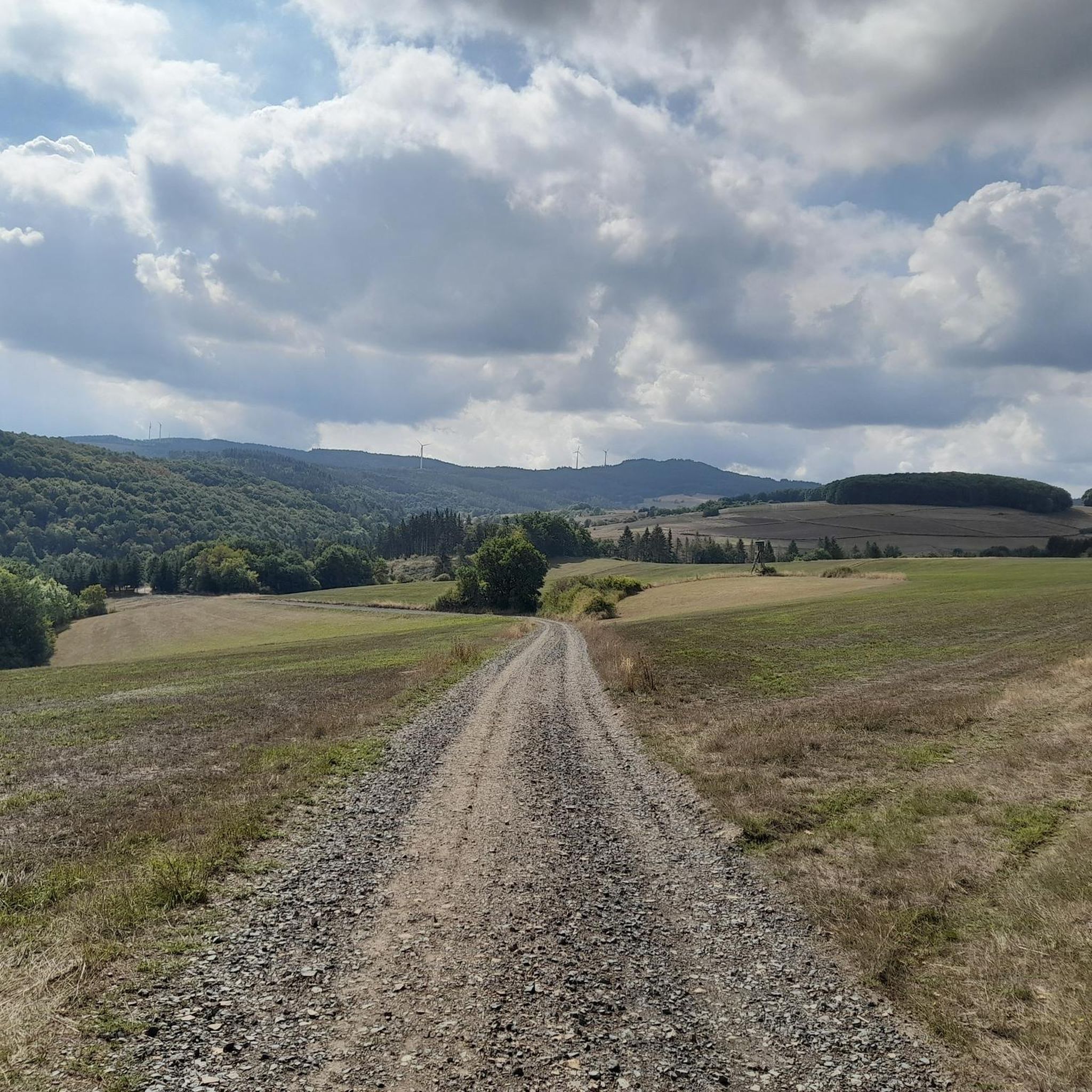
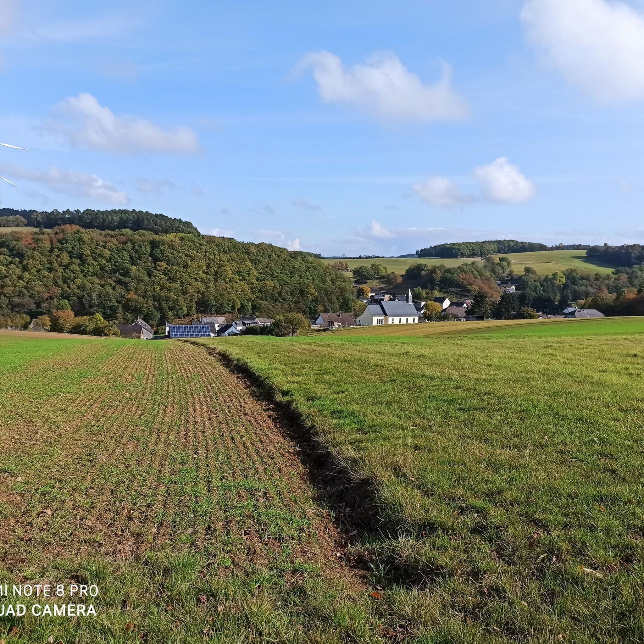
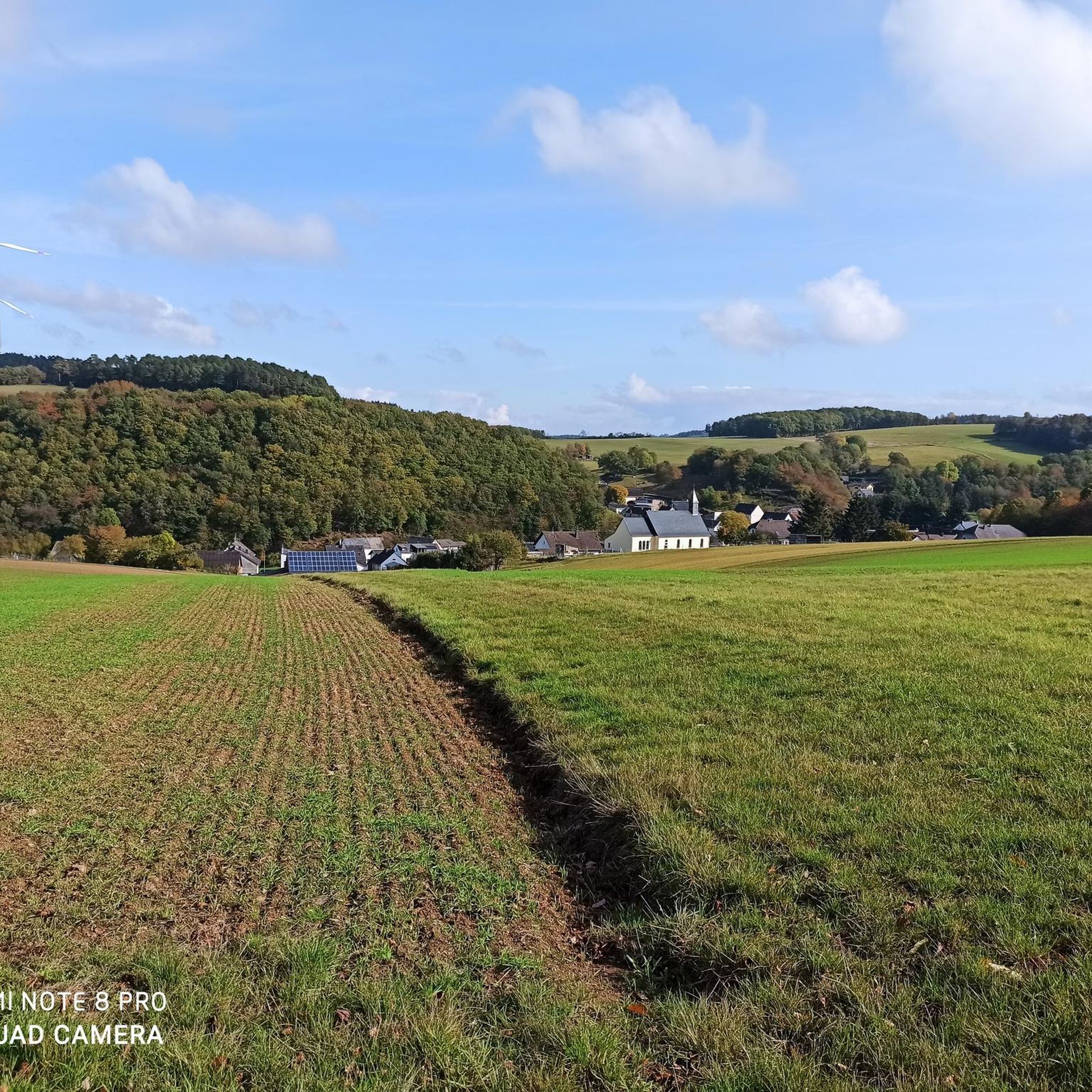
커뮤니티 팁

A fantastic view of Bermel. Great hiking trails and beautiful nature.
0
0
The Hochbermel Nature Reserve is located in the Mayen-Koblenz district of Rhineland-Palatinate. The approximately 65.7-hectare area, which was declared a nature reserve in 2001, extends southeast of the municipality of Bermel around the former basalt quarry at Hochbermel (570 m), which has been closed since the late 1970s. The L 96 state road runs to the north. Great hiking trails and beautiful nature.
0
0
The Boos Double Maar consists of two silted-up maars, which today appear as shallow depressions in the terrain. They are located within the municipality of Boos. The two maars formed between 10,150 and 14,160 years ago and belong to the Quaternary volcanic field of the Volcanic Eifel. The two maars form large, circular basins surrounded by tuff embankments. They lie on a west-southwest-east-northeast trend, thus following the Variscan strike of the subsurface. The west-southwest maar has a diameter of approximately 700 m and a depth of between 30 and 60 m; the east-northeast maar is between 650 and 700 m and a depth of between 50 and 87 m. Both depressions are very humid, so there are still areas that have a permanent water surface. The waters were formerly used as fish ponds, but later silted up and served as meadows and fields. Today, there is once again a fish pond in the west-southwestern part of the maar, the Booser Weiher. In the vicinity of the maars, there are tuff pits where the volcanic tuff formed during the eruption of the maars was mined. Very beautiful nature.
0
0

former site of a windmill, today a rest area with play facilities
0
0

Be sure to take a break here and enjoy the view
0
0

The history of the Volcanic Eifel can be explored at the Booser Doppelmaar. The Booser Doppelmaar consists of two silted-up maars, which today appear as flat hollows in the terrain. The two maars were formed between 10,150 and 14,160 years ago. Viewed from above, the two maars are circular basins. The west-southwest maar has a diameter of around 700 m and is between 30 and 60 m deep, the east-northeast maar is between 650 and 700 m large and has a depth of 50 to 87 m. The two hollows are very wet, so there are still places that have a permanent water surface. The water areas were previously used as fish ponds, but later silted up and served as meadows and fields. Today there is again a fish pond in the west-southwestern maar, the Booser Weiher, see also https://de.wikipedia.org/wiki/Booser_Doppelmaar
1
1

The Hochbermel nature reserve is located in the Mayen-Koblenz district in Rhineland-Palatinate. The approximately 65-hectare area, which was declared a nature reserve in 2001, extends southeast of the municipality of Bermel around the former basalt quarry at Hochbermel (570 m), which has been closed since the end of the 1970s.
3
0
오베렐츠 주변에서 가장 인기 있는 명소


더 살펴보기
다른 지역의 최고의 하이킹를 살펴보세요.
