슈타이닝겐 최고의 워킹 & 하이킹 경로
4.5
(16580)
56,336
등산객
1,016
하이킹
정확한 경로를 찾는 것이 때로는 어렵지만 슈타이닝겐에서 하이킹을 하면 다양한 경치를 마음껏 감상할 수 있답니다. 슈타이닝겐에서 가장 멋진 하이킹과 워킹 중에서 마음에 드는 활동을 시작해보세요.
마지막 업데이트: 10월 1, 2026
4.7
(40)
126
등산객
15.9km
04:24
290m
290m
보통 하이킹. 좋은 체력 필요. 실력과 관계없이 누구나 쉽게 갈 수 있는 길.
4.4
(12)
73
등산객
9.88km
02:42
160m
150m
보통 하이킹. 좋은 체력 필요. 실력과 관계없이 누구나 쉽게 갈 수 있는 길.

5.0
(2)
19
등산객
5.29km
01:26
80m
70m
초급용 하이킹. 모든 체력 수준에 적합. 실력과 관계없이 누구나 쉽게 갈 수 있는 길.
4.8
(5)
13
등산객
9.93km
02:50
230m
230m
보통 하이킹. 좋은 체력 필요. 실력과 관계없이 누구나 쉽게 갈 수 있는 길.
4.5
(2)
8
등산객
6.63km
01:51
120m
120m
초급용 하이킹. 모든 체력 수준에 적합. 실력과 관계없이 누구나 쉽게 갈 수 있는 길.
더 다양한 경로와 다른 탐험가들의 추천을 살펴보세요.
이미 komoot 계정이 있나요?
투어 추천은 다른 사람들이 komoot에서 완료한 수천 개의 활동을 바탕으로 구성되어 있습니다.
오늘 무료 계정으로 시작하세요
다음 모험이 기다리고 있어요.
커뮤니티 팁

아이펠 화산 활동에 대한 지질학적 정보 가치가 높은 목가적인 장소입니다.
1
0

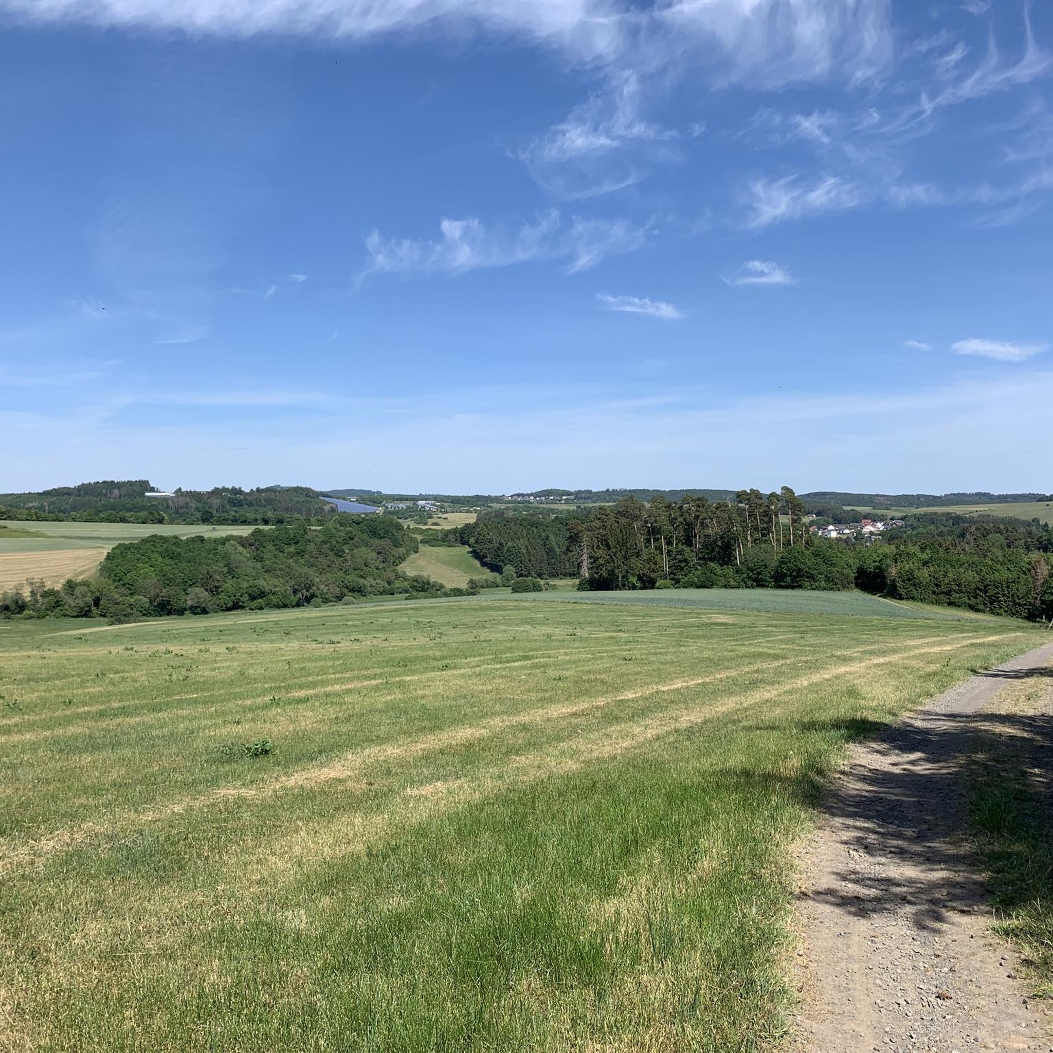
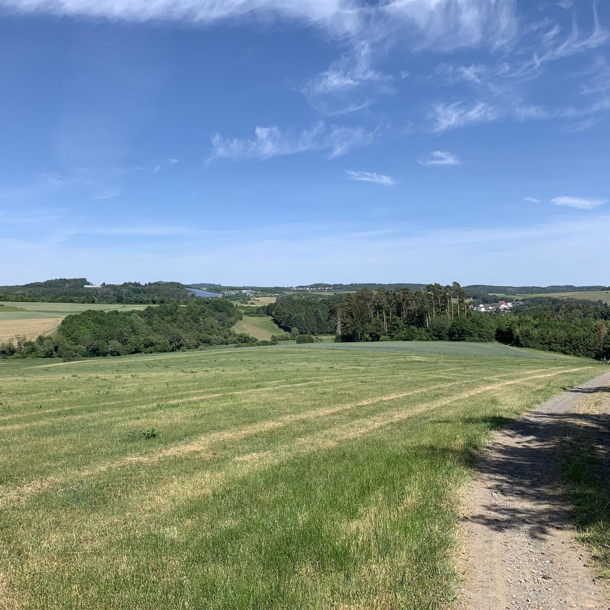
Zum Semersberg s. z.B. https://www.geopark-vulkaneifel.de/eifel/landschaft/aussichtspunkte/eifel-blick-semersberg.html
0
0

One of the youngest maars in the Eifel region nestles picturesquely against the small town of Ulmen with its castle ruins and church right on the shore - idyllic and simply beautiful!
1
0

From 13:00 o'clock many people are out and about when the sun ☀️ shines
0
0
The circular wall on the Steineberger Ley is a prehistoric fortification on a basalt peak near Steineberg. The wall was made of basalt stones and possibly wooden logs. It probably dates back to around 200 BC and has been protected as a natural monument since 1939. For information on the Steineberg and its circular wall, see, for example, https://de.wikipedia.org/wiki/Steineberg or https://kulturdb.de/einobjekt.php?id=3903
0
0

A true paradise stretches out on the edge of the village of Ulmen on a plateau beneath the Steimelskopf, where a volcano once erupted with a tremendous bang, forming a deep crater with a maar lake, which now serves as a renowned bird sanctuary. The exact age of the Jungferweiher lake cannot be determined, but its morphological shape suggests it is several hundred thousand years old. In early modern times, the Lords of Ulmen used the lake as a fishpond for carp breeding, until it gradually silted up over time, and the residents of Ulmen harvested peat from the former maar for heating purposes. However, in 1942, the decision was made to flood the area again by damming the Ulmener Bach to secure the drinking water supply for the Cochem-Zell district. Today, the Jungferweiher lake, located at an altitude of 428 meters above sea level, covers an area of approximately 170,000 square meters with a depth of 0.8 meters. The pond, along with the Ulmener Maar, is protected for its rare flora and fauna. Many endangered species, such as the snipe and the meadow pipit, breed in the reed-rich banks, while ospreys have been observed hunting. Migratory birds such as cranes, teals, and great grey shrikes roost in the meadows near the Ulmener Jungferweiher every year. Therefore, a walk along the approximately 3-kilometer loop is a must, especially during the migration periods in spring and autumn. At the bird observatory on the western bank, you can observe the birds in their natural habitat. Nowadays, a wide variety of fish species thrive in the shallow waters of the Ulmener Weiher, which can be fished from a fishing pier on the southern bank. Swimming and other water sports are prohibited, however. Fishing permits are issued by the local municipal administration in Ulmen. Since 2023, the Ulmener Maar Tunnel has connected the Jungferweiher underground to the Ulmener Maar. A visit to the 126-metre-long tunnel is highly recommended!
7
0
The lower castle has completely disappeared. You can still see the beginning of the ring that connected the lower castle and the Ulmen city wall, a two-story outer wall of the palace, as well as a cistern and some foundation walls of other buildings. The old part of Ulmen Castle was built around 1074 AD and likely rests on the remains of a Roman settlement. In the Middle Ages, Ulmen Castle was further expanded and divided into the upper castle, whose remains of the walls still exist, and the lower castle, which extended to the banks of the maar river. Two knightly families lived in the castle, which is believed to have never been attacked or destroyed until 1673 due to its size. Only the Sun King's troops succeeded. It was rebuilt, but fell again in 1689 during the War of the Succession. However, Ulmen Castle was also rebuilt this time, with only the city wall being abandoned. With the invasion of Napoleon's soldiers, Ulmen also became French and later Prussian. The empty castle, whose last descendant died in 1801, was auctioned to a merchant from Cochem, who sold it as a quarry. When a devastating fire burned Ulmen to the ground in the 19th century, the residents of Ulmen rebuilt their houses with stones from the castle. That's why you can still see a coat of arms on some of the stables today. It wasn't until the early twentieth century that Ulmen Castle was declared a listed building and became the property of the municipality of Ulmen. The castle is always freely accessible.
7
0
For information on the Demerather Mill, a former mill under the Eifel Treaty, see, for example, https://www.eifel.de/go/sehenswertes-detail/demerather_muehle.html. The Demerather Mill was first documented in 1499. The current structure dates back to the 17th century. It was renovated between 1999 and 2001 and expanded with a timber-frame structure.
1
0
슈타이닝겐 주변에서 가장 인기 있는 명소


더 살펴보기
다른 지역의 최고의 하이킹를 살펴보세요.
