엘터라인에서 가장 멋진 20개의 천연기념물
천연기념물을 방문하여 엘터라인의 아름다운 풍경을 만나보세요. 엘터라인에 있는 20
개의 천연기념물과 상세 정보를 살펴본 후에 방문하고 싶은 천연기념물을 다음 모험 계획에 추가해보세요!
마지막 업데이트: 10월 11, 2026
Greifensteine 전망 바위 지형
하이라이트 • 자연 기념물
번역자 Google •
팁에 의해


이런 장소를 발견하려면 지금 가입하세요
최고의 싱글 트랙, 봉우리 및 다양한 흥미로운 야외 장소에 대한 추천을 받아보세요.
Greifenbachstauweiher
하이라이트 • 호수
It served as a reservoir for the Röhrgraben and the stamp mills located there.
번역자 Google •
팁에 의해

오르겔파이펜 현무암 기둥, 샤이벤베르크
하이라이트 • 자연 기념물
번역자 Google •
팁에 의해

무료로 가입하여 엘터라인 주변의 더 많은 자연 기념물을 발견하세요.
이미 komoot 계정이 있나요?
오늘 무료 계정으로 시작하세요
다음 모험이 기다리고 있어요.

커뮤니티 팁

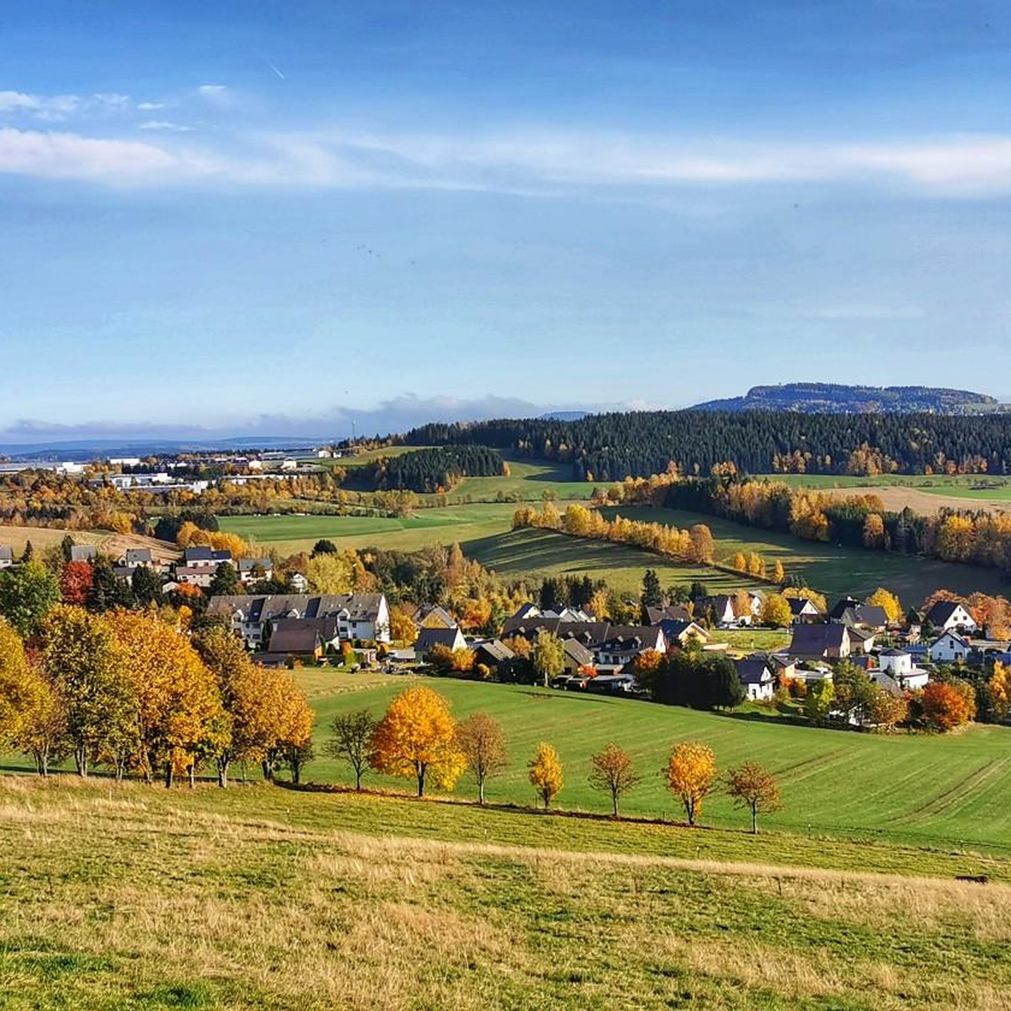
The Greifenbach reservoir is one of the oldest dams in Germany. It dams the Rote Wasser stream. Today it is a local recreation area.
2
0

A beautiful sandy beach, pleasantly clean air, excellent water quality, and two spacious lawns make the hearts of all sun worshippers and water lovers beat faster. The Greifenbachstauweiher pond is a popular holiday and recreation center and excursion destination at the foot of the Greifensteine.
2
0

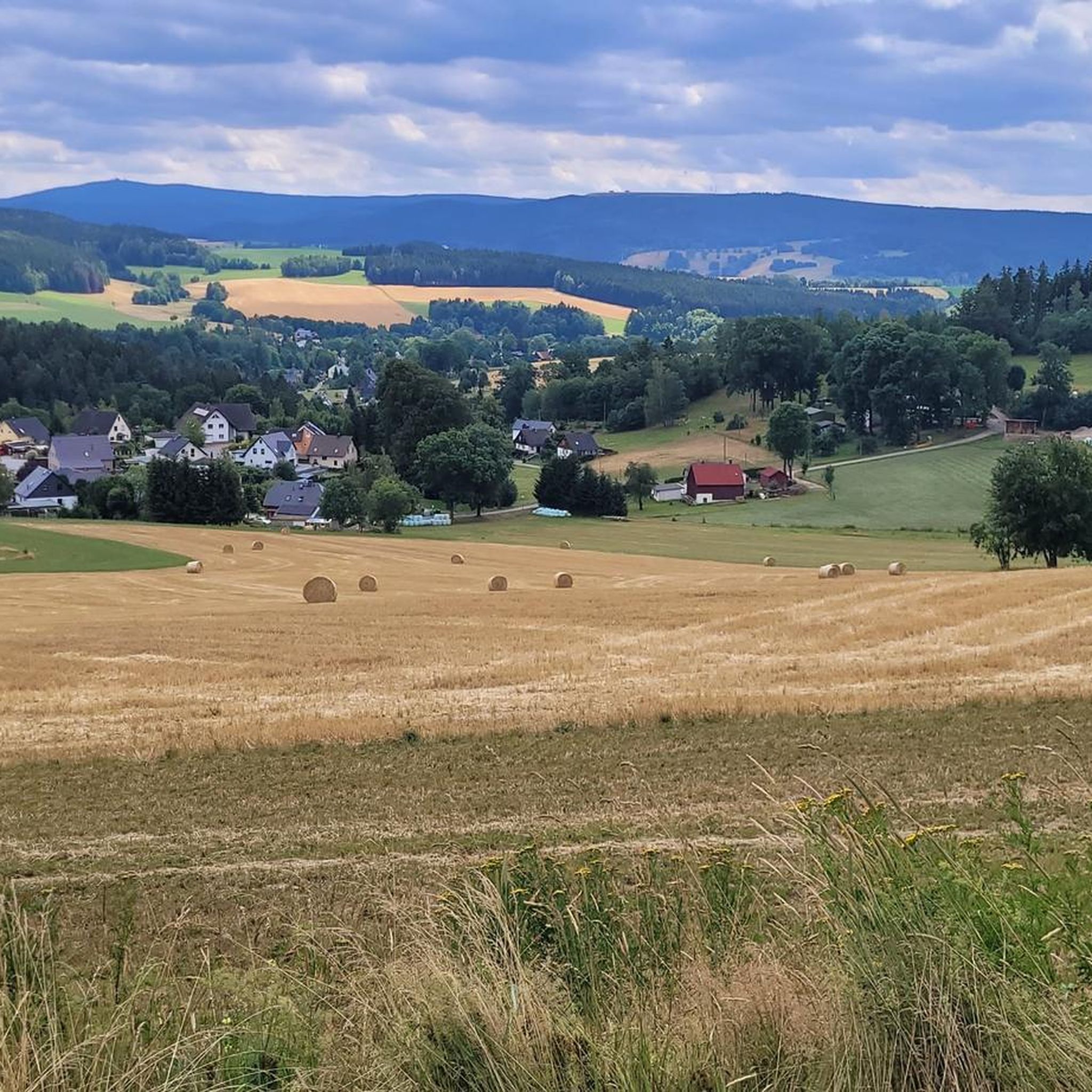
Very impressive basalt columns 🌋, arranged like organ pipes 😃. They are best seen from the large clearing by the ski jump 📷.
22
1

The basalt path along the organ pipes includes 15 educational panels that vividly illustrate the geological situation of the Scheibenberg, the flora and fauna of the surrounding area, and interesting facts about the history of the mountain and the towns of Schlettau and Scheibenberg.
21
0
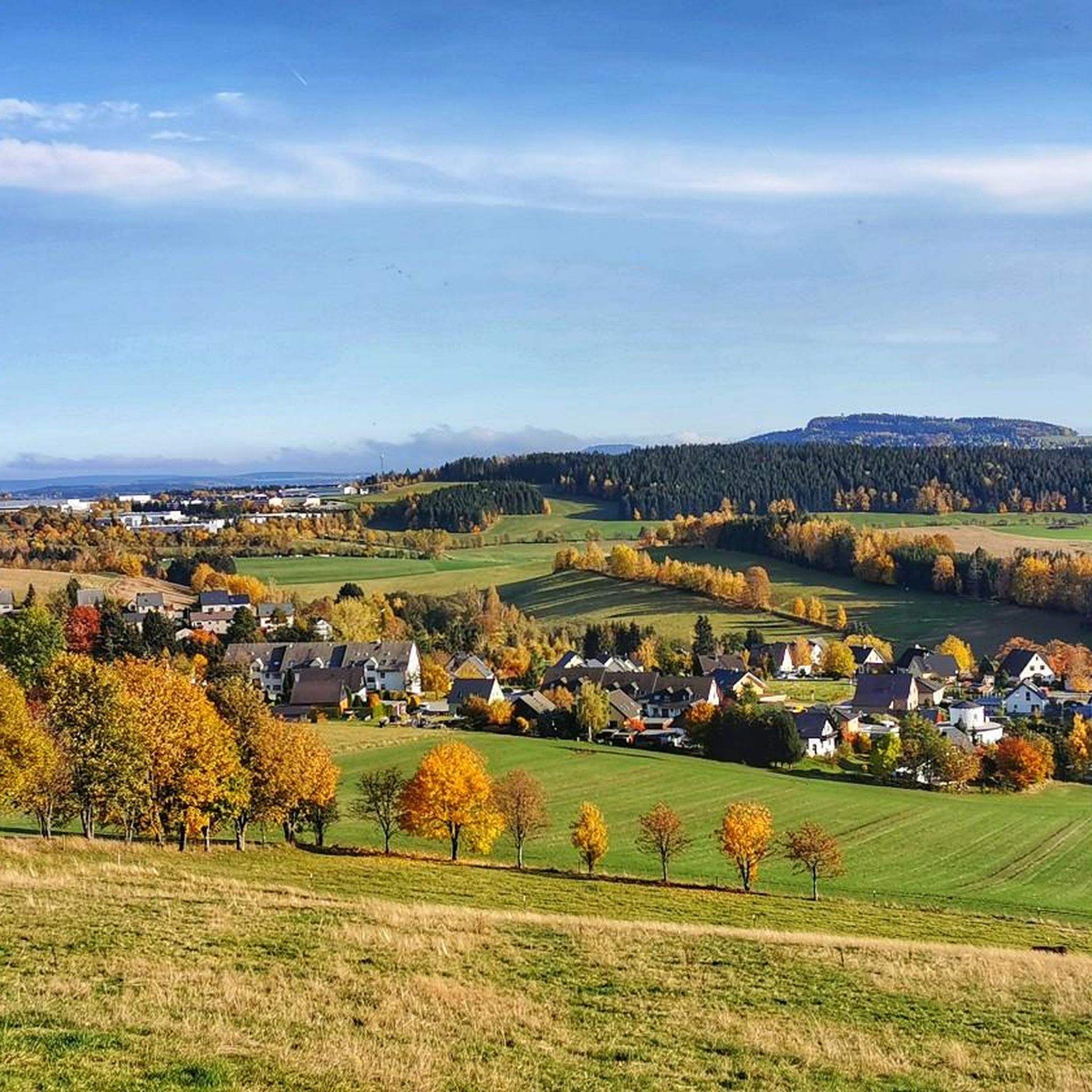
The Greifensteine are a rock formation in Saxony, known for climbing and mountaineering, among other things. Their highest point reaches an elevation of approximately 731 meters above sea level. The area around the Greifensteine is a nature reserve.
16
1


The dam of the reservoir was built in connection with the construction of the Röhrgraben (Röhr ditch) from 1396 to 1404. It served as a reservoir for the Röhrgraben and the stamp mills located there. This is where Station 16 of the mining trail is located.
3
0

Mining has been taking place on the Scheibenberg since 1522, initially in search of silver. Later, clay was mined and used to make pots and ovens. From 1914, the Krebs company and two municipal companies in the towns of Scheibenberg and Schlettau operated extensive quarries and sand pits. Long crowbars were used to drill holes up to three meters deep into the clay and sand beneath the basalt columns. Dynamite was then used to blast the bases of the "organ pipes" and cause them to collapse. The basalt blocks were further broken down by blasting them again and finally transported away by cable car.
20
0
엘터라인 주변에서 가장 인기 있는 명소


더 살펴보기
엘터라인 주변의 최고의 동굴을 찾기 위해 이 가이드를 확인해보세요:
