그륀하이니헨에서 가장 멋진 20개의 천연기념물
천연기념물을 방문하여 그륀하이니헨의 아름다운 풍경을 만나보세요. 그륀하이니헨에 있는 20
개의 천연기념물과 상세 정보를 살펴본 후에 방문하고 싶은 천연기념물을 다음 모험 계획에 추가해보세요!
마지막 업데이트: 9월 27, 2026

츠쇼파우강과 플뢰하강의 합류점
하이라이트 • 강
번역자 Google •
팁에 의해

이런 장소를 발견하려면 지금 가입하세요
최고의 싱글 트랙, 봉우리 및 다양한 흥미로운 야외 장소에 대한 추천을 받아보세요.
헤츠도르프 비아덕트가 보이는 바스테이 전망대
하이라이트 • 전망대
번역자 Google •
팁에 의해






커뮤니티 팁


On the hiking trail between Zschopau and Scharfestein, near the village of Wilischthal, you'll come across a small rock spire at the side of the trail, the Devil's Nose. It even has a summit book and a safety hook and is likely used by climbers as a training object. The bravest can, of course, climb directly to the summit from behind. But be careful! Otherwise, the view from the neighboring small hill is also great. (https://www.ins-erzgebirge.de/Teufelsnase-bei-Wilischthal)
3
0
If you walk from Zschopau towards Wilischthal along the riverbank, you'll come across this fountain, built in 1929 by the Ore Mountains Association. Benches invite you to linger. Karl Stülpner (1762-1841) was a poacher and gamekeeper, at home in the forests of the Ore Mountains. He repeatedly clashed with the authorities, but he is said to have had a soft spot for farmers and the poor. He is still revered as a folk hero to this day. An easy hike to the fountain leads from the small forest parking lot westward downstream of the Zschopau to the fountain. This path is also wheelchair accessible. (https://www.ins-erzgebirge.de/St%C3%BClpnerbrunnen)
3
0

The forest spring set in natural stone shows a bronze plaque depicting the game shooter Karl Stülpner (1762-1841), popularly known as the "Robin Hood of the Ore Mountains". Built in 1929 by the Erzgebirgsverein Zschopau, the rest area has been transformed into an inviting rest area on the river bank in recent years.
3
0

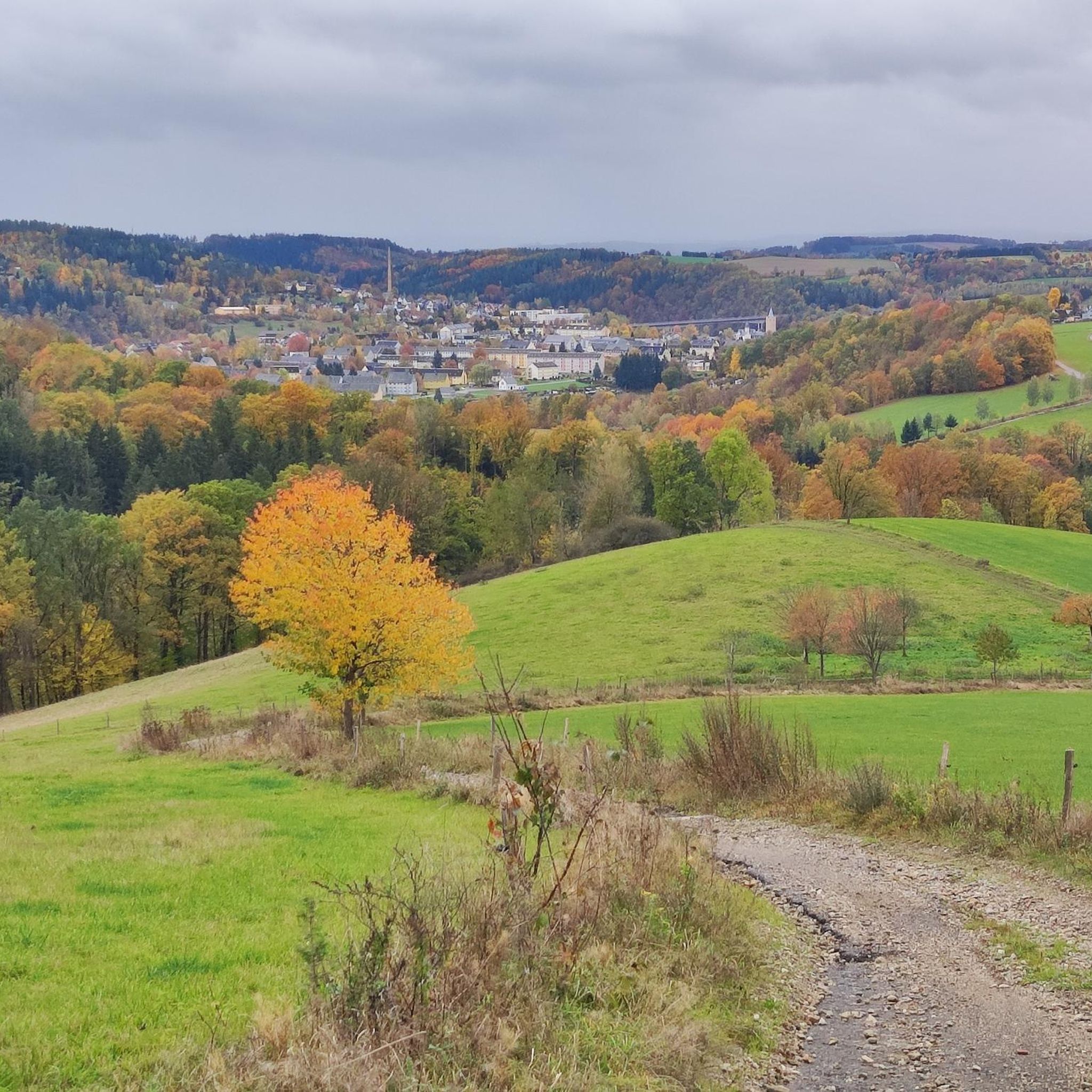
That's a really nice view...if you make a quick stop here
3
1
The river rises in the Eastern Ore Mountains in the Czech Republic northwest of the village of Nové Město (New Town) and initially runs in a westerly direction. The source is only around one kilometer away from the source of the Wilde Weißeritz and the Freiberger Mulde. Confluence of the Flöha (right) into the Zschopau (left) In the Czech Republic, the Flöha is dammed in the Fleyh dam (Údolní nádrž Fláje). At Georgendorf (Český Jiřetín) it flows into Saxon territory, and immediately behind the border the Flöha is dammed again in the Rauschenbach dam. The Schweinitz border river flows into Hirschberg and the Flöha forms the border with the Czech Republic up to the Saigerhütte Grünthal. As it continues to the northwest, the Flöha flows through Olbernhau and Pockau, where its largest tributary, the Black Pockau, flows into its famous gorge valley. After a total of 67 km, the river flows into the Zschopau in the town of Flöha. Here it has a water flow of around 11 m³/s compared to a good 10 m³/s in the Zschopau.[5] Source: https://de.wikipedia.org/wiki/Fl%C3%B6ha_(Fluss
2
1
그륀하이니헨 주변에서 가장 인기 있는 명소


더 살펴보기
그륀하이니헨 주변의 최고의 동굴을 찾기 위해 이 가이드를 확인해보세요:
