요한게오르겐슈타트에서 가장 멋진 20개의 천연기념물
천연기념물을 방문하여 요한게오르겐슈타트의 아름다운 풍경을 만나보세요. 요한게오르겐슈타트에 있는 20
개의 천연기념물과 상세 정보를 살펴본 후에 방문하고 싶은 천연기념물을 다음 모험 계획에 추가해보세요!
마지막 업데이트: 8월 30, 2026

Eispinge (얼음 구덩이)
하이라이트 • 협곡
번역자 Google •
팁에 의해

이런 장소를 발견하려면 지금 가입하세요
최고의 싱글 트랙, 봉우리 및 다양한 흥미로운 야외 장소에 대한 추천을 받아보세요.
무료 회원 가입
카를스펠트 댐(빌츠슈 댐)
하이라이트 • 호수
번역자 Google •
팁에 의해


오늘 무료 계정으로 시작하세요
다음 모험이 기다리고 있어요.
로그인 또는 가입하기
요한게오르겐슈타트 주변 인기 장소

Flying high on two wheels – bike holidays in the Ore Mountains

역사가 자연을 만나다 – 에르츠게비르게-포그틀란트 산악 등산로
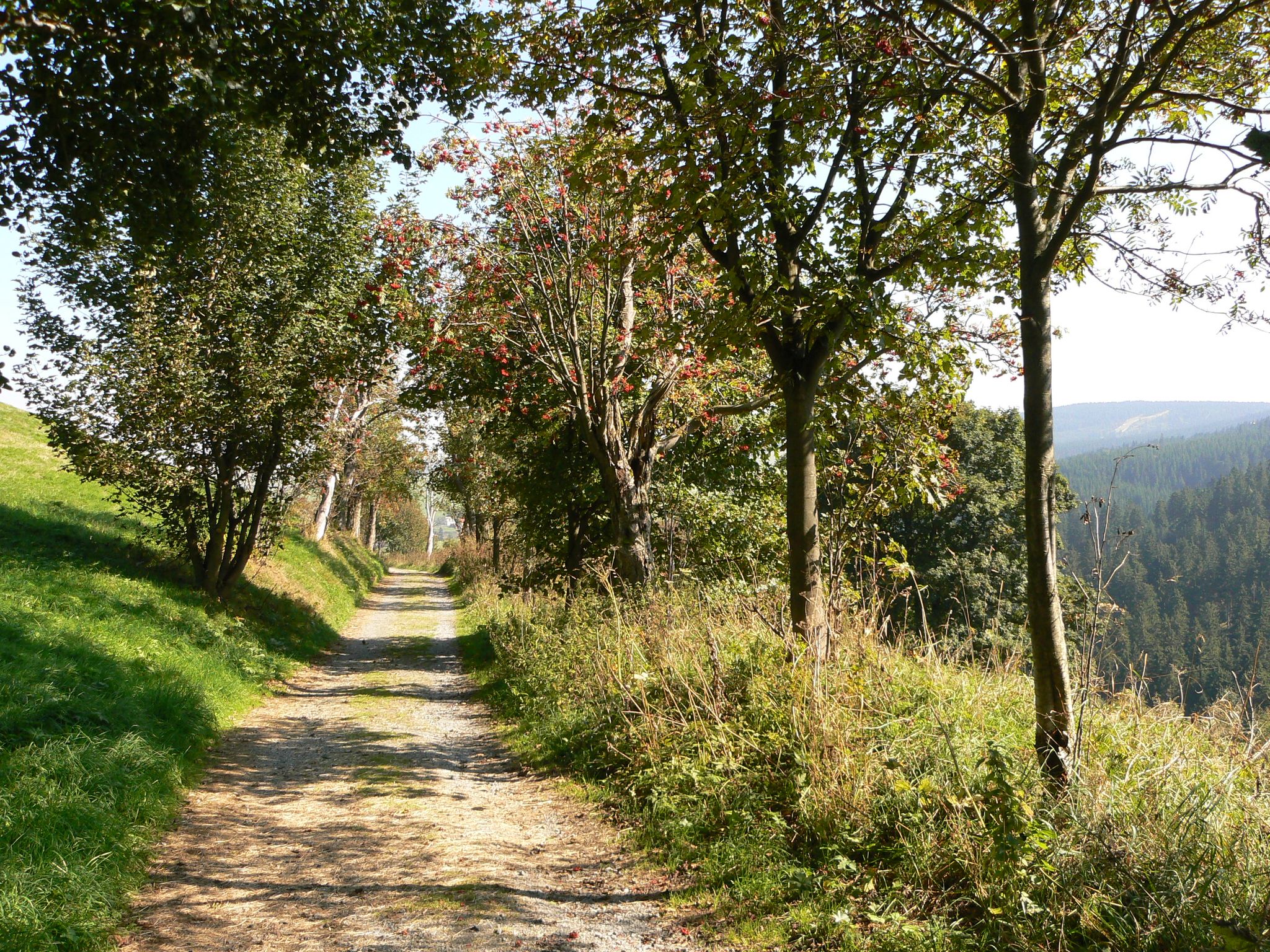
Anton-Günther-Trail — 오레 산맥에서의 긴 주말
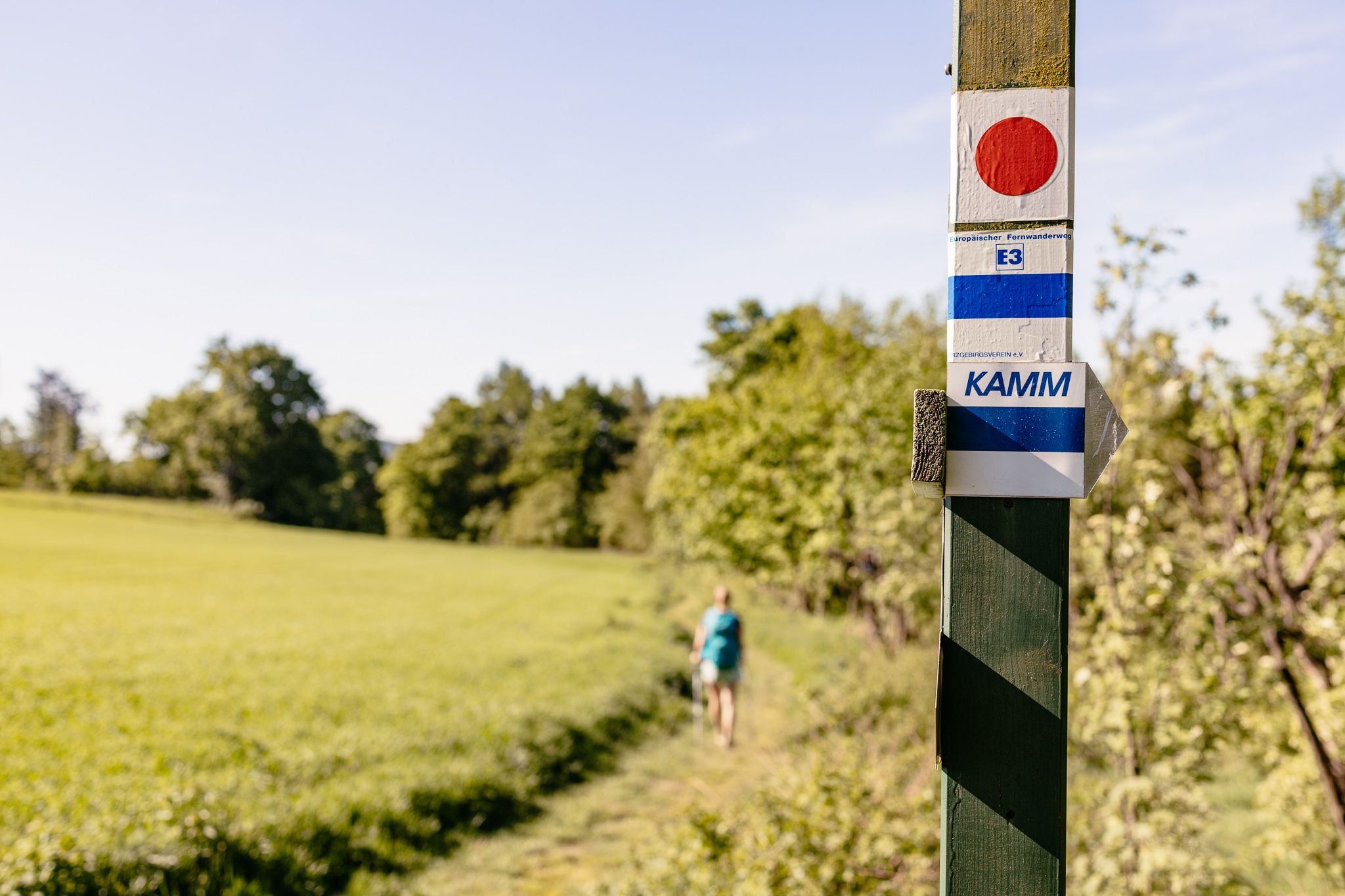
Der Kammweg Erzgebirge-Vogtland aus Sicht einer Bloggerin
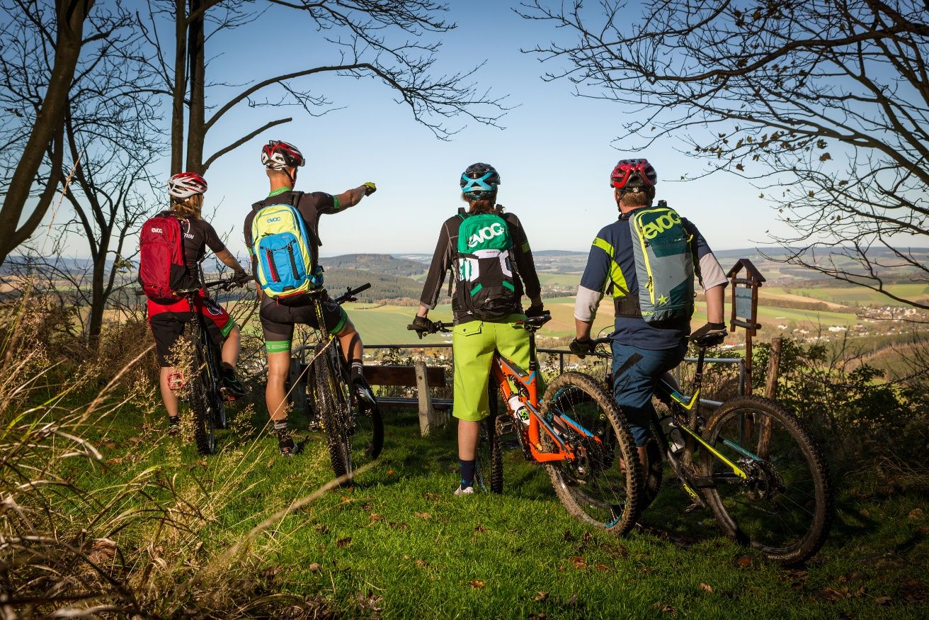
Stoneman Miriquidi MTB Gesamtstrecke (3 Tage - Bronze)
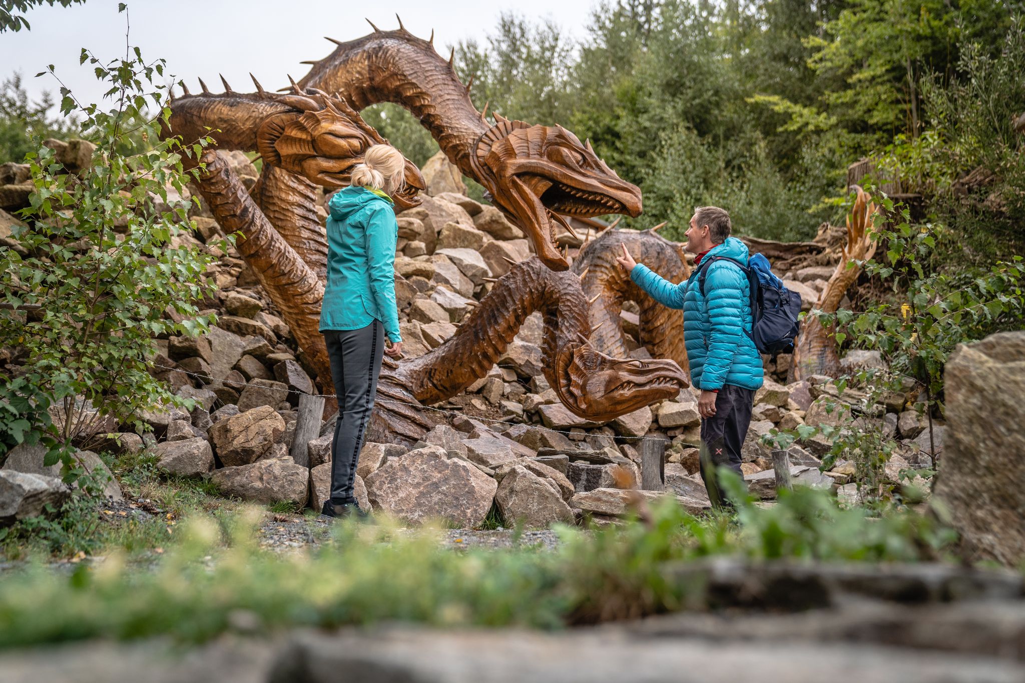
Wandertouren - Handwerk & Heimatgenuss
Wandertouren - Flusstäler & Talsperren
요한게오르겐슈타트 하이킹
요한게오르겐슈타트 사이클링
요한게오르겐슈타트 MTB 트레일
요한게오르겐슈타트 주변의 다른 모험


커뮤니티 팁

The Sosa Dam is a dam in the Free State of Saxony. It serves to supply drinking water to the western Ore Mountains and to provide flood protection. The dam was built between 1949 and 1952 in the Höllengrund valley south of Sosa, which has been part of the town of Eibenstock since 2011, in the Ore Mountains, and was finally put into operation in 1952.
4
0

The Wolfspinge is a collapsed historic ore mine just below the summit of the Plattenberg. A fascinating geo- and biotope (together with the neighboring Eispinge)
2
0

☆ The construction time is remarkable... 👍
4
0

The Wolfsbinge is a collapsed tunnel from the tin mining industry. The Eisbinge is narrower and 20 m deep.
2
0

The largest waterfall in Saxony and one of the highest German waterfalls outside the Alps is located in the immediate vicinity of Blauenthal. This former site of a flour and board mill was bought by Andreas Blau around 1530 and converted into a hammer mill. After the First World War, the owner of the paper factory had a new ditch dug above a steep rock face in order to use the water to drive his turbines. On Sundays and public holidays, the machines stood still and the water rushed down into the valley.
11
1

The Talperre Sosa barrier wall is the last quarry stone wall built in Germany. The quarry stone masonry of the dam body is made of granite. This granite was quarried in the nearby quarry. The Maxhütte in Unterwellenborn developed a special mixed binder "Sosa - special binder" for the construction of the dam wall. Source: http://www.sosa-online.de/Talsperre.html
3
0
The dam wall of the Carlsfeld dam is a listed building. The curved gravity dam wall made of rubble stone is 195 meters long and up to 20 meters wide at the base. Its height above the foundation base is almost 32 meters. The dam axis has a radius of 160 meters. Source: https://www.wasserwirtschaft.sachsen.de/TS_Carlsfeld.html?_cp=%7B%22accordion-content-13266%22%3A%7B%222%22%3Atrue%2C%223%22%3Atrue%7D%2C%22previousOpen%22%3A%7B%22group%22%3A%22accordion-content-13266%22%2C%22idx%22%3A3%7D%7D
4
0
요한게오르겐슈타트 주변에서 가장 인기 있는 명소


더 살펴보기
요한게오르겐슈타트 주변의 최고의 동굴을 찾기 위해 이 가이드를 확인해보세요:
