하이더스도르프에서 가장 멋진 20개의 천연기념물
천연기념물을 방문하여 하이더스도르프의 아름다운 풍경을 만나보세요. 하이더스도르프에 있는 20
개의 천연기념물과 상세 정보를 살펴본 후에 방문하고 싶은 천연기념물을 다음 모험 계획에 추가해보세요!
마지막 업데이트: 10월 11, 2026
슈바르텐베르크 정상 및 슈바르텐베르크 산장
하이라이트 • 정상
번역자 Google •
팁에 의해


이런 장소를 발견하려면 지금 가입하세요
최고의 싱글 트랙, 봉우리 및 다양한 흥미로운 야외 장소에 대한 추천을 받아보세요.

메드베디 스칼라 바위
하이라이트 • 자연 기념물
It was also used for the Bohemian Triangulation. There is also a small information panel for this purpose.
번역자 Google •
팁에 의해

오늘 무료 계정으로 시작하세요
다음 모험이 기다리고 있어요.
커뮤니티 팁

The Dörnthaler Pond is part of the Freiberg Regional Water Management Authority https://www.wasserwirtschaft.sachsen.de/revierwasserlaufanstalt-freiberg.html
0
0

Bernstein Station 14 of the Royal Saxon Triangulation and Central European Survey It was also used for the Bohemian Triangulation. There is also a small information panel for this purpose. "The Royal Saxon Triangulation (here with its historical name) is a national survey carried out between 1862 and 1890 on the territory of the Kingdom of Saxony, with the simultaneous creation of a trigonometric network. The goal was to record the territory with scientific and geodetic precision and, by establishing permanently marked reference points, to create the basis for the production of accurate maps." - https://de.wikipedia.org/wiki/K%C3%B6niglich-S%C3%A4chsische_Triangulirung From the station, the sightings were taken clockwise from the north to Schwartenberg, Frauenstein, Kahleberg, Wieselstein, Fichtelberg, Hirtstein, Udohöhe, and Saidahöhe. The nearby Grossenstein station on the Eduardova skála was added for accuracy.
2
0


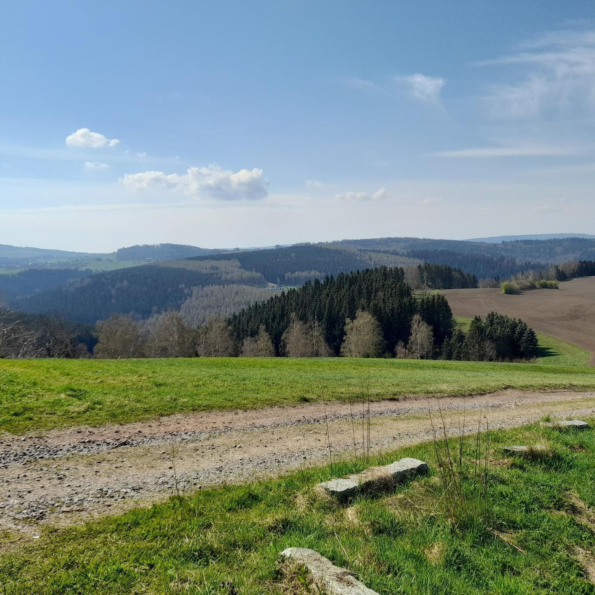
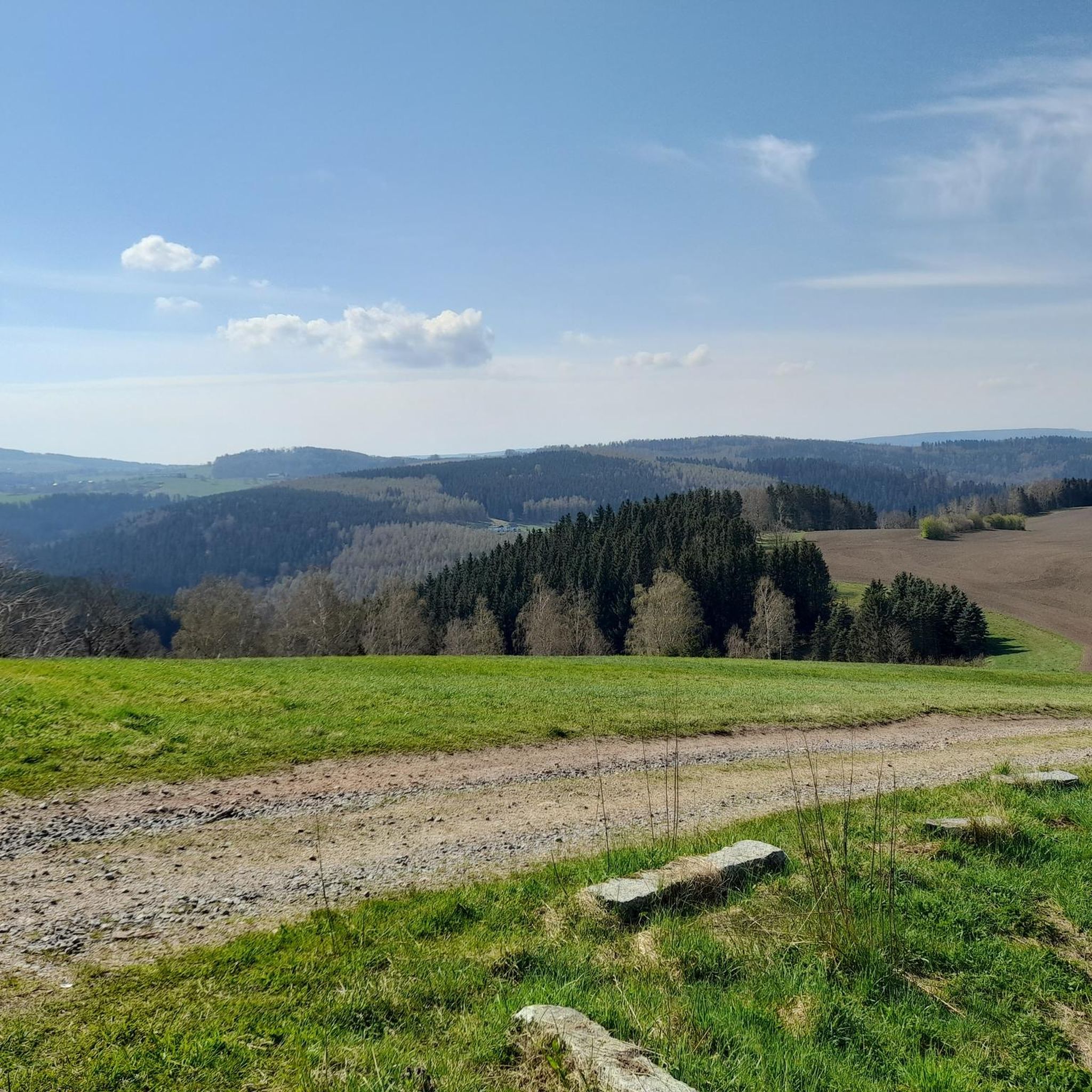
In the middle of the Ore Mountains' raised bogs lies the Bärenstein, from which, on a clear day, you have a fantastic panoramic view of the Ore Mountains and the Bohemian Basin as far as the Bohemian Central Uplands. By bike, there are several ways to explore other sights, such as Lesna or the television tower on the Jedlak with a view of Chomutov and Jirkov.
0
0

The stream that has been dammed to form the alluvial ponds flows into the Mortelgrund at the Mortelmühle. Overall, the area with its bodies of water, riverbanks, mountain meadows and wet meadows represents a very valuable habitat.
4
1


excellent tour on the edge of the Ore Mountains
1
0

Due to the increasing energy requirements of mining in the Freiberg mining area, the bringing of water from the surrounding area was considered as early as the 16th century, but was not implemented until the late 19th century. Due to the increasing energy requirements of mining in the Freiberg area, the bringing of water from the areas of Mittelsaida, Haselbach, Dörnthal, Pfaffroda, Ullersdorf and later also from the Flöha river was already being considered in the 16th century. In addition to the construction of the Obersaida artificial ditch, this project was also pursued through the construction of the new Dörnthal artificial ditch from Obersaida to Dörnthal and the creation of a mine pond at Dörnthal. In 1787 the sovereign at that time, Elector Friedrich August III. the construction of a new mine pond in the Dörnthal area and the acquisition of the necessary land. At 18.2 m, the Dörnthaler Teich has the highest barrier structure of the artificial ponds of the Revierwasserlaufanstalt. The length of the crest of the dam is 300 m and the width of the crest is 13.3 m. The raw water obtained from the Rauschenbach dam is temporarily stored in the artificial pond. It reaches the dam via the district watercourse. From here, it is released as needed into the artificial ditch in the direction of Großhartmannsdorf or into the Haselbach, which flows into the Saidenbach dam.
0
0
하이더스도르프 주변에서 가장 인기 있는 명소


더 살펴보기
하이더스도르프 주변의 최고의 동굴을 찾기 위해 이 가이드를 확인해보세요:
