덴틀라인 암 포스에서 가장 멋진 20개의 천연기념물
천연기념물을 방문하여 덴틀라인 암 포스의 아름다운 풍경을 만나보세요. 덴틀라인 암 포스에 있는 20
개의 천연기념물과 상세 정보를 살펴본 후에 방문하고 싶은 천연기념물을 다음 모험 계획에 추가해보세요!
마지막 업데이트: 9월 14, 2026

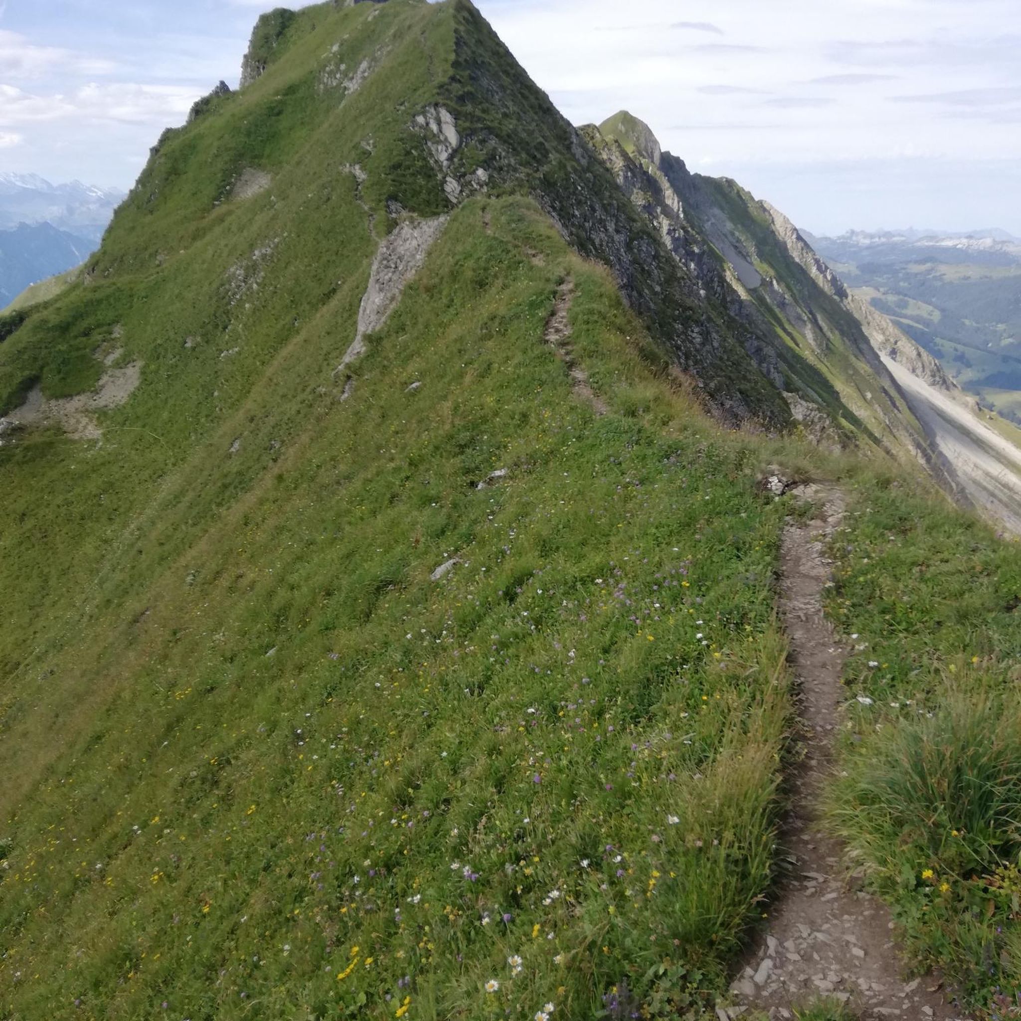
헤셀베르크 남쪽 면
하이라이트 • 전망대
번역자 Google •
팁에 의해

이런 장소를 발견하려면 지금 가입하세요
최고의 싱글 트랙, 봉우리 및 다양한 흥미로운 야외 장소에 대한 추천을 받아보세요.

헤셀베르크 지질 자연 탐방로
하이라이트 (구간) • 트레일
번역자 Google •
팁에 의해

포시도니아 셰일 채석장 (지질학적 천연기념물)
하이라이트 • 자연 기념물
번역자 Google •
팁에 의해

무료로 가입하여 덴틀라인 암 포스 주변의 더 많은 자연 기념물을 발견하세요.
이미 komoot 계정이 있나요?
오늘 무료 계정으로 시작하세요
다음 모험이 기다리고 있어요.
커뮤니티 팁

In addition to great views, the mountain also offers hands-on geology
0
0

The geological educational and hiking trail leads from the Schieferbruch hiking car park in Wittelshofen over the south-western ridge to the Hesselberg. There are numerous earth outcrops or quarries that show the geological peculiarities of the Hesselberg. Numerous information boards provide technical background information. The summit quarry can be a very special experience. This has been cleared of bushes in recent years as part of the refreshment of the geological educational and hiking trail and can therefore be easily walked. https://www.hesselberg-panorama.de/geologe-lehr-und-wanderpfad.html
2
0
The Posidonia Slate Mine is located on the western edge of the Hesselberg, the highest mountain in Middle Franconia. The Hesselberg formed approximately 200 million years ago as an inselberg in the Jurassic Sea. It consists of three main geological layers: black, brown, and white Jurassic, with intercalated oil shale. This slate mine is a "geological natural monument" and part of the "Hesselberg Geological Trail." The Posidonia Slate, also known as oil shale, formed in the shallow marginal zone of the Jurassic Sea during the Mesozoic Era. The dead organic material trickled down and, together with other substances, formed a sludge. Due to the lack of oxygen, this sludge developed into oil shale over long periods of time. The oil shale is known for its outstanding fossil preservation. Due to the low-oxygen and partially anoxic, so-called euxinic, environment at the time of deposition, very well-preserved crinoids, ammonites, fish, and ichthyosaurs have been found. https://www.geocaching.com/geocache/GC2E8H5_posidonienschiefergrube
1
0
This labyrinth is not an ancient building structure. It was built as part of an international work camp in July 2009 in the Römerpark and is intended for relaxation.
2
0
Since 2020 you can also visit a Roman-style garden in the park. Together with the rear facade of a Roman strip house, a view of the Roman vicus of Ruffenhofen is possible. The facade was built in cooperation with the Jugendbauhütte Regensburg and presented for the first time with the Roman kitchen garden at the Wassertrüdingen State Garden Show 2019. Smaller excavations were carried out at the end of the 19th century by Wilhelm Kohl, route commissioner of the Reich Limes Commission. His published results formed the current state of research until the late 1970s. Since then, aerial archeology has been able to contribute new insights into the Limes fort, its structure and the surrounding camp village (vicus). With the help of geophysical prospections by the Bavarian State Office for Monument Preservation, an overall plan of the facility was created. In the summer of 2005, the association carried out another excavation in the area of the fort wall. Source: Wikipedia
3
0
At the foot of the hill there is a replica of the fort (mini fort) on a scale of 1:10.
2
0

The geological educational and hiking trail has been attracting visitors from near and far to the Hesselberg for over 40 years. But 40 years also represent a period in which a lot can change. Therefore, it was high time to renew the nature trail. “15 new windows into the history of the earth” provide information about the geology around the Hesselberg over a 3 km route. Information boards, earth outcrops and fossils appeal in a variety of ways to nature lovers, hikers as well as students and school classes. With a walking time of approx. 1.5 hours, there is a lot to discover and see on the tour around and on the Hesselberg. Source: https://www.lpv-mittelfranken.de/geologen-lehrpfad-am-hesselberg.html
2
0
The park is freely accessible. The actual fort has been made visible again today with bushes and markings. The mini fort is a nasty trap. It impressively shows what it looked like here 1800 years ago. Unfortunately it's very impressive from far away, but it gets smaller and smaller from close up. 😄
3
0
덴틀라인 암 포스 주변에서 가장 인기 있는 명소


더 살펴보기
덴틀라인 암 포스 주변의 최고의 동굴을 찾기 위해 이 가이드를 확인해보세요:
