부르고베르바흐에서 가장 멋진 20개의 천연기념물
천연기념물을 방문하여 부르고베르바흐의 아름다운 풍경을 만나보세요. 부르고베르바흐에 있는 20
개의 천연기념물과 상세 정보를 살펴본 후에 방문하고 싶은 천연기념물을 다음 모험 계획에 추가해보세요!
마지막 업데이트: 10월 11, 2026
안스바흐 호프가르텐과 오랑주리
하이라이트 • 자연 기념물
번역자 Google •
팁에 의해

포겔인젤(알트뮐제) 전망
하이라이트 • 전망대
번역자 Google •
팁에 의해

이런 장소를 발견하려면 지금 가입하세요
최고의 싱글 트랙, 봉우리 및 다양한 흥미로운 야외 장소에 대한 추천을 받아보세요.

Scheerweiher 자연 보호구역
하이라이트 • 자연 기념물
번역자 Google •
팁에 의해

레온하르트 푹스 정원
하이라이트 • 자연 기념물
번역자 Google •
팁에 의해

무료로 가입하여 부르고베르바흐 주변의 더 많은 자연 기념물을 발견하세요.
이미 komoot 계정이 있나요?
오늘 무료 계정으로 시작하세요
다음 모험이 기다리고 있어요.


커뮤니티 팁


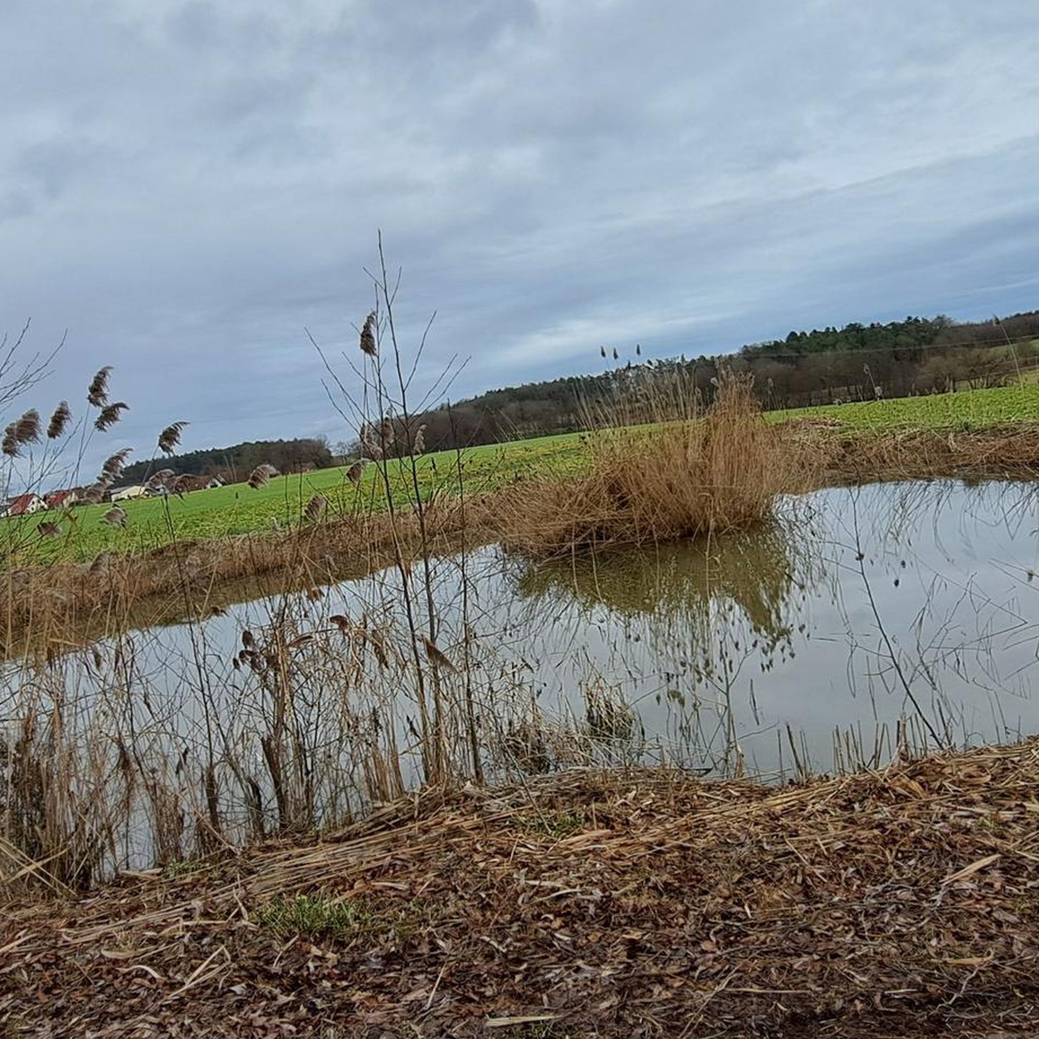
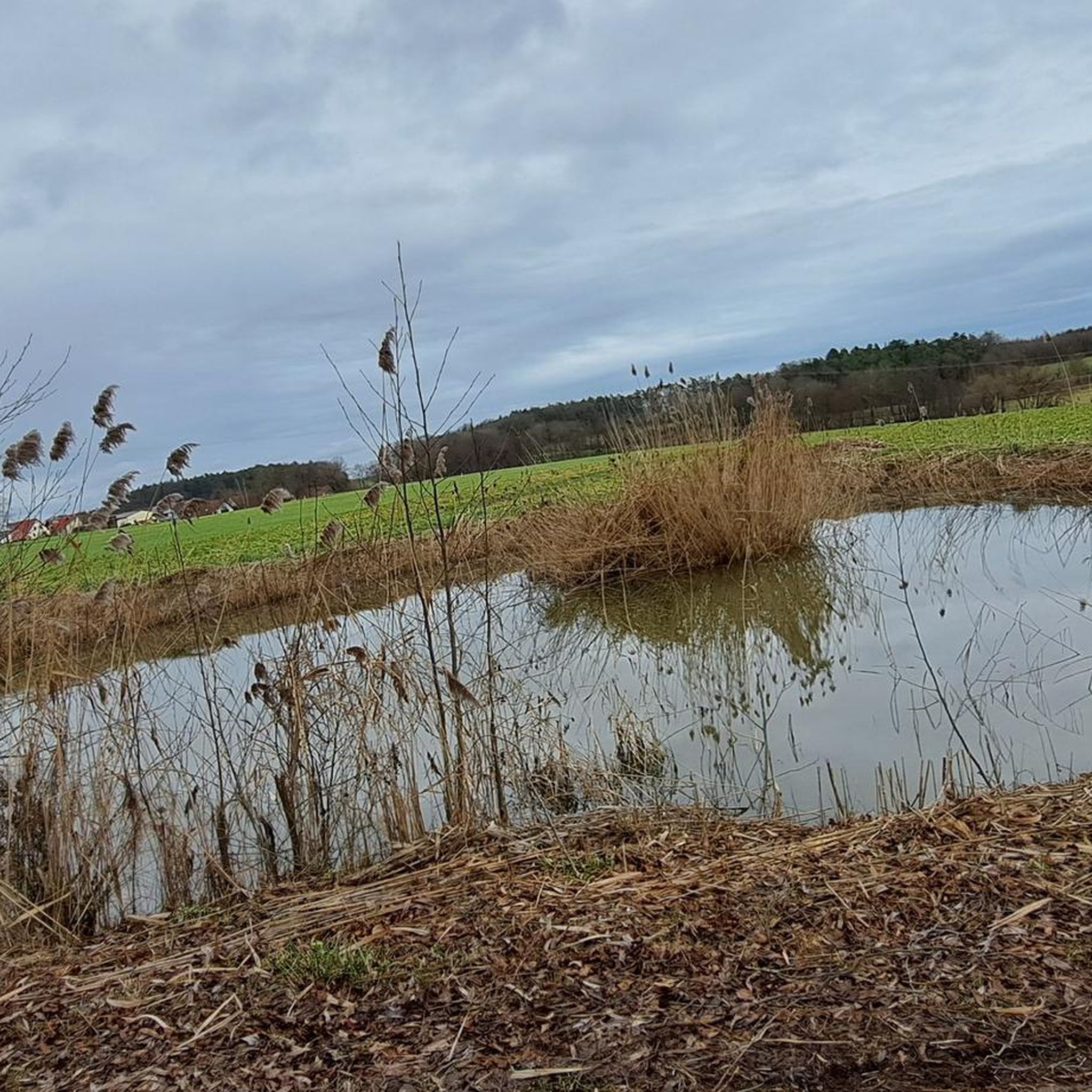
The only nature reserve in the city of Ansbach with an area of 52 hectares. The eponymous Scheerweiher was created in the Middle Ages as a fish pond by damming two streams. Since then, the pond has developed into an ecologically mature body of still water in Middle Franconia. Coming from Schalkhausen, there is a car park immediately after the railway underpass. The unmarked circular path around the nature reserve leads from the car park to the small observation tower, which offers a beautiful view of the extensive pond area with just a few steps. Following the road, you reach the Scheermühle via the Scheerweiher dam. The water from the pond was used to operate the Scheermühle, which was built in the 17th century, until 1930. This is indicated by a wooden coat of arms in the gable of the roof of the half-timbered house. Continuing through the forest towards Neudorfer Mühle, the path finally leads in an arc back towards the car park. The last section of the path runs along a former road, parallel to the railway tracks, back to the starting point. More than 60 species of birds breed in the area, and toads and newts use the nearby pond to spawn. Over five thousand common toads form one of the largest populations in the Franconian Heights natural area.
0
0

There are some benches from which you can observe and enjoy nature and the pond.
0
0

The medicinal plant garden of the doctor and botanist Leonhart Fuchs (1501-1566) on the edge of the Hofgarten is one of the first botanical gardens of the university and one of the oldest in the world.[2] Emperor Charles V elevated him to the nobility. Leo Hart Fuchs. He was the personal physician of the Ansbach Margrave George the Pious.
2
0

A special eye-catcher in the center of Ansbach is the Leonhart-Fuchs-Garten, named after the botanist and margravial personal physician Leonhart Fuchs, who became known for his late medieval herbalism. With the splashing of the fountain, the park invites you to explore the effects of the herbs and take a break from the hustle and bustle of the city centre. (Source: https://www.ansbach.de)
1
0

a detour to the bird island is definitely worthwhile. But please not by bike. If you have binoculars with you, you have a clear advantage 😉. On the bird island there is an observation platform from which you can watch the birds very well. If you are lucky, you can also meet a beaver.
7
0


Many water migratory birds breed at the NSG Scheerweiher. Benches along the pond invite you to rest and watch the birds. On the small lookout tower you can watch the birds from an elevated position.
0
0
부르고베르바흐 주변에서 가장 인기 있는 명소


더 살펴보기
부르고베르바흐 주변의 최고의 동굴을 찾기 위해 이 가이드를 확인해보세요:
