미들 프랑코니아에서 가장 멋진 20개의 천연기념물
천연기념물을 방문하여 미들 프랑코니아의 아름다운 풍경을 만나보세요. 미들 프랑코니아에 있는 20
개의 천연기념물과 상세 정보를 살펴본 후에 방문하고 싶은 천연기념물을 다음 모험 계획에 추가해보세요!
마지막 업데이트: 9월 2, 2026
슈바르차흐클람 (슈바르차흐 협곡)
하이라이트 (구간) • 협곡
번역자 Google •
팁에 의해

호흘러 펠스에서 바라본 하푸르거 호수 전망
하이라이트 • 전망대
번역자 Google •
팁에 의해

이런 장소를 발견하려면 지금 가입하세요
최고의 싱글 트랙, 봉우리 및 다양한 흥미로운 야외 장소에 대한 추천을 받아보세요.

구스타프 아돌프 동굴
하이라이트 • 동굴
번역자 Google •
팁에 의해

Schwarzach 협곡 (Schwarzachklamm)
하이라이트 • 협곡
번역자 Google •
팁에 의해

호흘러 펠스와 하푸르크 저수지 전경
하이라이트 • 전망대
번역자 Google •
팁에 의해


Karlshöhle 바위 지형
하이라이트 • 자연 기념물
번역자 Google •
팁에 의해

Zwölf Apostel 바위군 전망
하이라이트 • 자연 기념물
번역문 보기
팁에 의해

무료로 가입하여 미들 프랑코니아의 더 많은 자연 기념물을 발견하세요.
이미 komoot 계정이 있나요?
오늘 무료 계정으로 시작하세요
다음 모험이 기다리고 있어요.
미들 프랑코니아 주변 인기 장소

스테이거발트 전망 트레일에서 9일
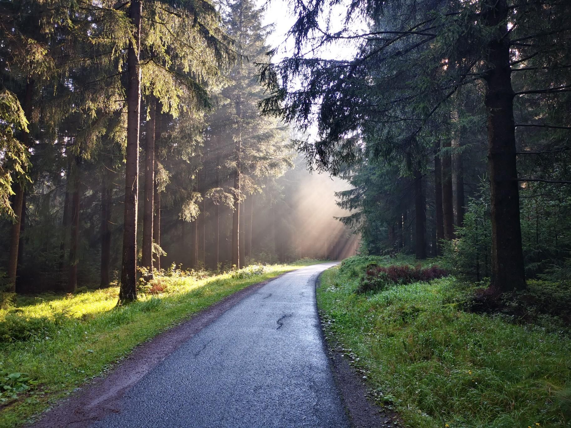
자전거를 타고 독일 광야를 탐험하세요 - 뉴른베르크에서 에르푸르트까지

아이코닉한 물가에 따라 - 메인-다누베-코난스 호수 트레일

아이들럭 계곡에서 슈와비아 알프까지 - 독일 호헨로에-오스탈프 자전거 코스

이리스타일 이미지 화를 생성을
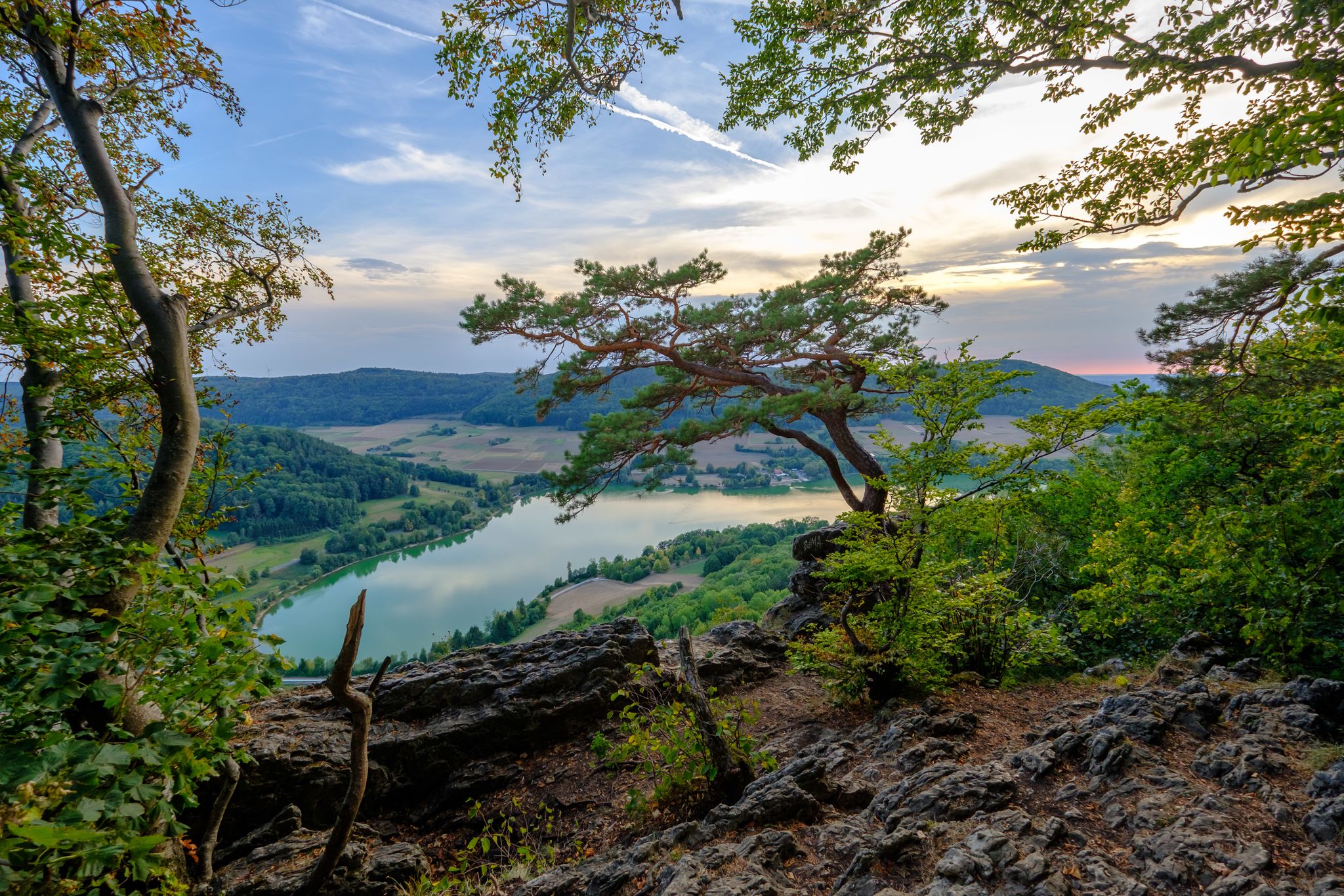
Silent forests & lonely paths — Franconian Jura Panorama Trail in Germany

라인 강에서 두나보 강까지 독일 리메스 자전거 길 타기
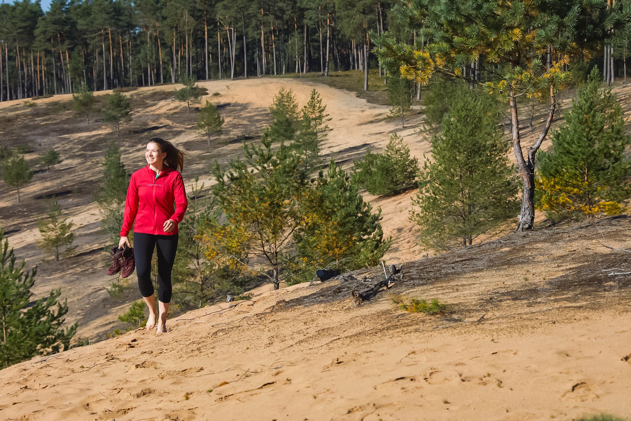
From sand dunes to forests – Hike the Dune Path in Central Germany
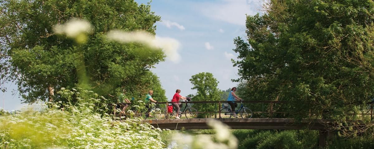
The most beautiful long-distance cycle paths in Franconia
로맨틱 로드 경로를 따라 멋진 10 단계


커뮤니티 팁

Beautiful rock formations and caves. Plenty to discover for both two-legged and four-legged friends. In many places, you can dive right into the water or explore the many small caves. A very worthwhile route.
4
0

Wöhrder See, Nuremberg Wöhrder See, the youngest of Nuremberg's waterways, is a popular local recreation area in the heart of the city, providing a natural habitat for endangered species. It is not a natural lake, but was created by damming the Pegnitz River, which flows through it. The idea for an inner-city lake existed as early as the 1930s. The project was approved for implementation in October 1959. In addition to the City of Nuremberg, the State Water Management Authority and the Middle Franconia District were involved in the planning and construction. Recreational concerns were not the only priority in the design. The lake is also part of the extensive flood protection measures after the Second World War. Construction work began in 1968 with the Lower Wöhrder See and continued until 1972. The sand trap above the waterway was built between 1972 and 1975. The final construction phase of the Upper Wöhrder Lake was completed in 1981. Text / Source: Nürnberg Infos.de / Nürnberger Nachrichten https://nuernberginfos.de/gewaesser-nuernberg/woehrder-see.php
16
0


Huge rocks, you can also see figures in them.
5
0

There are plenty of rock formations to admire in the gorge
4
1

Beautiful rock formations carved into the landscape… the stream has been working here for a long time and steadily
16
2

A walk around the lake can be a lovely family walk. A total of 6.5 km with no elevation gain and a lovely, varied route.
19
0

The Tauber is an idyllic, small river that rises near Weikersholz and flows into the Main near Wertheim after about 130 km. She accompanies the cyclists on almost the entire “Lovely Taubertal” cycle path, between Rothenburgo.d.Tbr. and Wertheim and invites you to rest in many beautiful places.
13
1
미들 프랑코니아에서 가장 인기 있는 경로


찾고 계신 것을 찾지 못하셨나요?
지역별 최고의 하이라이트를 확인하여 미들 프랑코니아의 더 놀라운 자연 기념물을 찾아보세요:
