요한게오르겐슈타트에서 가장 멋진 20개의 호수
요한게오르겐슈타트에서 가장 멋진 호수를 방문하고 싶나요? 호숫가의 고요한 분위기를 느끼거나 날씨가 따뜻한 날 호수에 발을 살짝 담글 수 있다면 얼마나 좋을까요? Komoot 커뮤니티가 추천한 요한게오르겐슈타트의 주요 호수를 아래에서 살펴보고, 다음 모험 때 직접 찾아가보세요!
마지막 업데이트: 9월 12, 2026

카를스펠트 댐(빌츠슈 댐)
하이라이트 • 호수
번역자 Google •
팁에 의해

이런 장소를 발견하려면 지금 가입하세요
최고의 싱글 트랙, 봉우리 및 다양한 흥미로운 야외 장소에 대한 추천을 받아보세요.


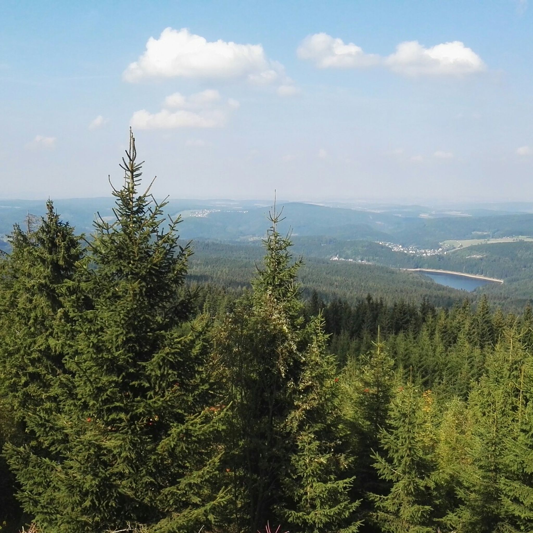
Eibenstock 저수지와 댐 전망
하이라이트 • 전망대
Description
The Eibenstock Dam is the largest dam in the Free State of Saxony, both in terms of capacity and the height of the dam structure. The water …
번역자 Google •
팁에 의해

무료로 가입하여 요한게오르겐슈타트 주변의 더 많은 호수를 발견하세요.
이미 komoot 계정이 있나요?
오늘 무료 계정으로 시작하세요
다음 모험이 기다리고 있어요.
요한게오르겐슈타트 주변 인기 장소

Flying high on two wheels – bike holidays in the Ore Mountains

역사가 자연을 만나다 – 에르츠게비르게-포그틀란트 산악 등산로
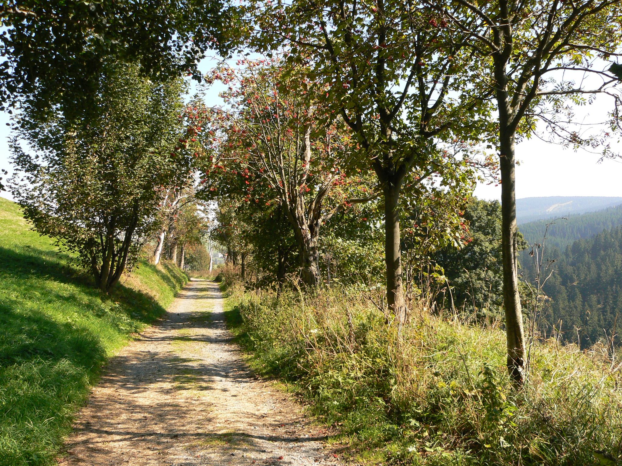
Anton-Günther-Trail — 오레 산맥에서의 긴 주말
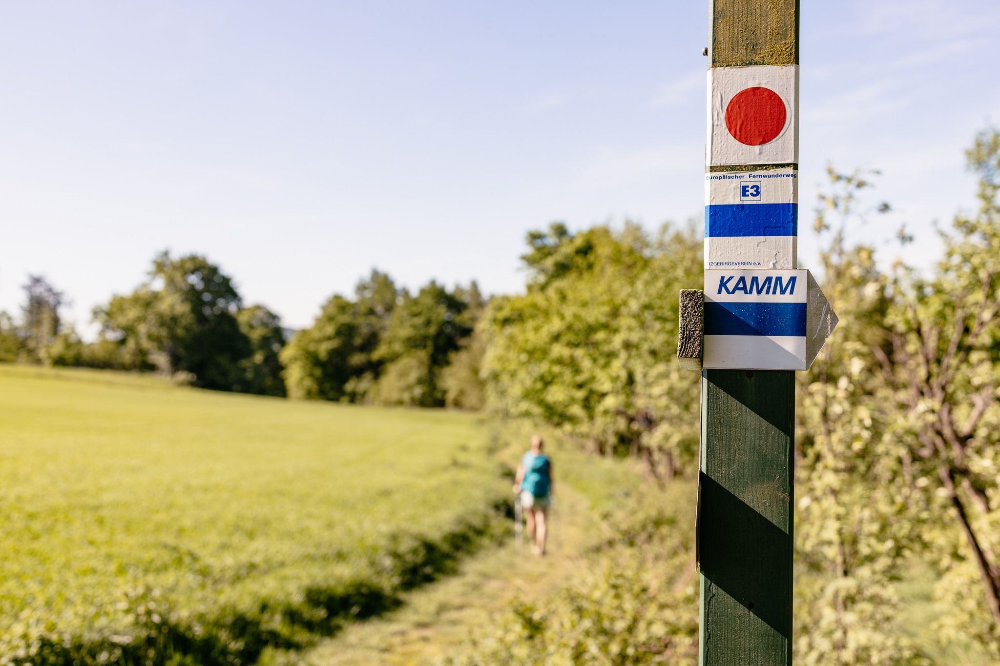
Der Kammweg Erzgebirge-Vogtland aus Sicht einer Bloggerin
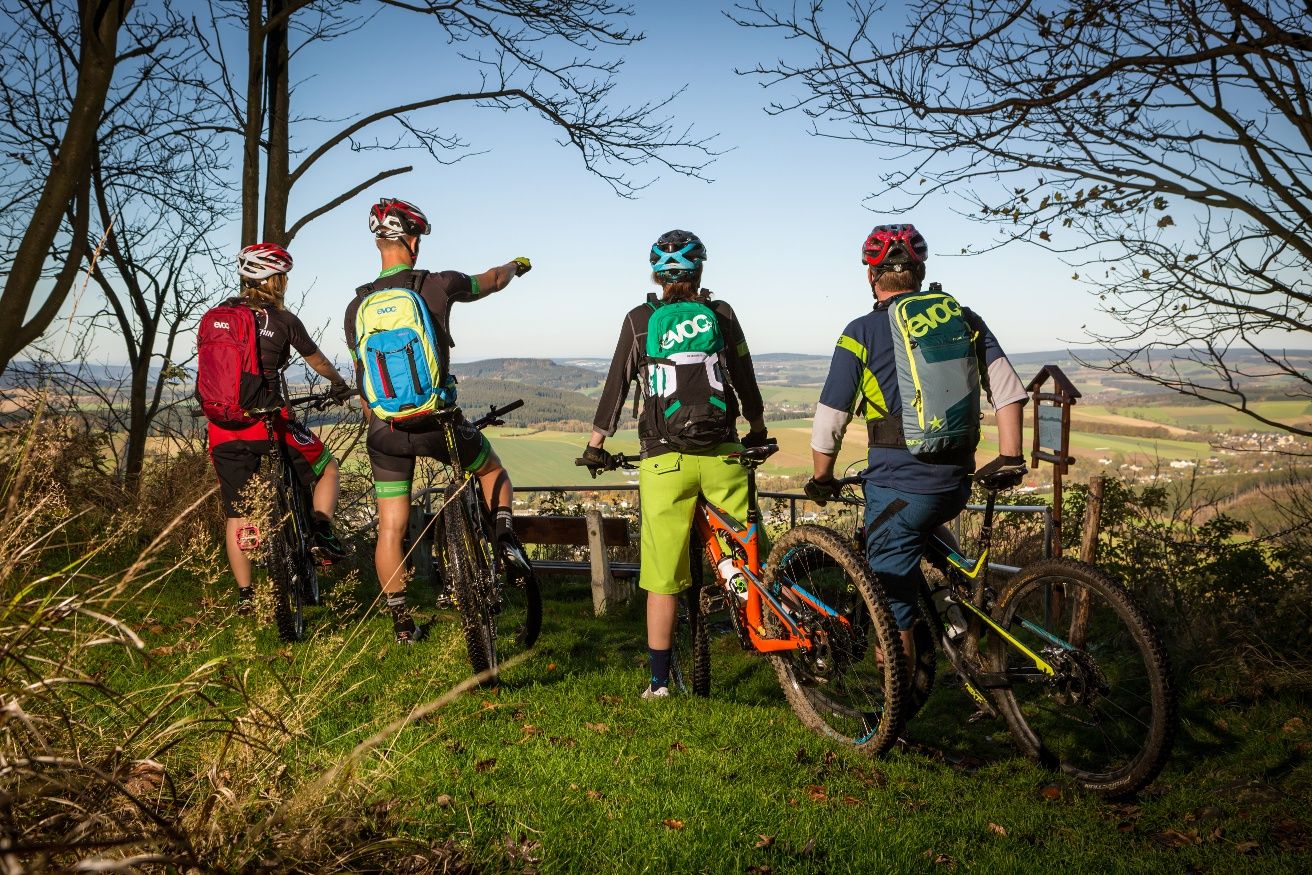
Stoneman Miriquidi MTB Gesamtstrecke (3 Tage - Bronze)
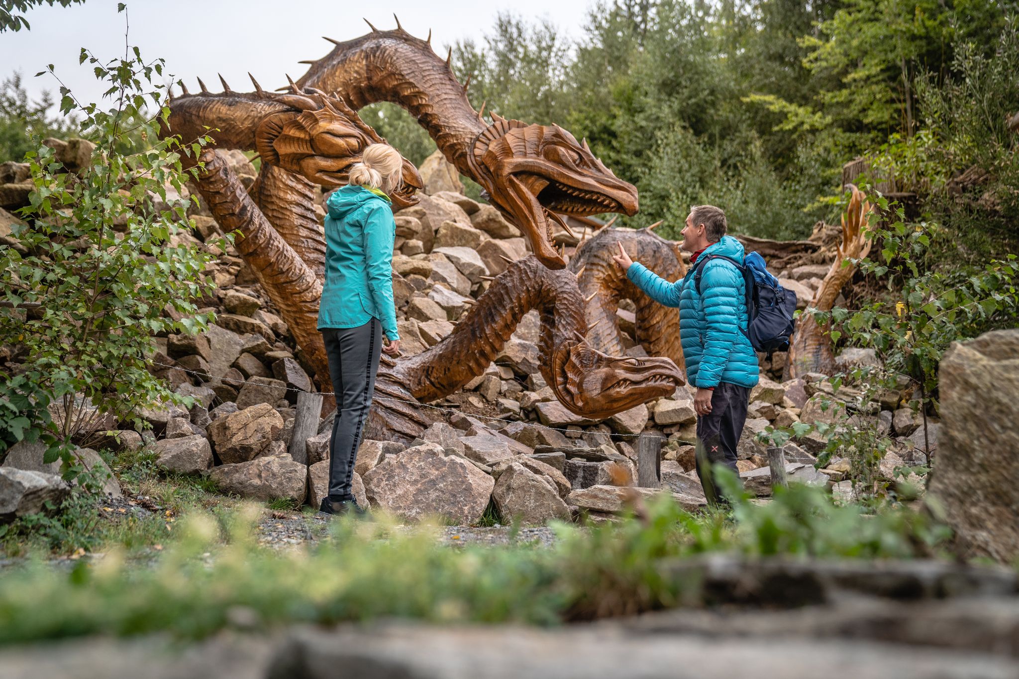
Wandertouren - Handwerk & Heimatgenuss
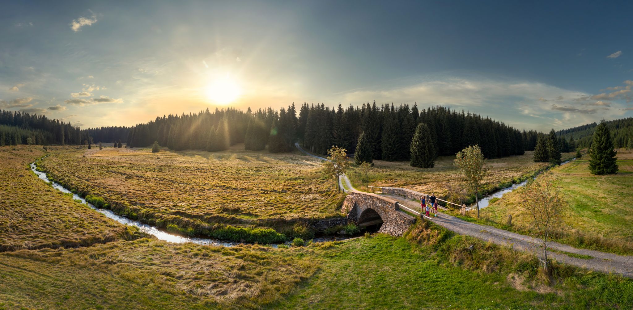
Wandertouren - Flusstäler & Talsperren
요한게오르겐슈타트 하이킹
요한게오르겐슈타트 사이클링
요한게오르겐슈타트 MTB 트레일
요한게오르겐슈타트 주변의 다른 모험


커뮤니티 팁


☆ The construction time is remarkable... 👍
4
0

History Plans for a dam in the Zwickauer Mulde valley in the area of the current dam wall had been in place since 1890, and these plans became more concrete in 1908. For this reason, plans for an extension of the Neidhardtsthal paper factory were abandoned in 1905. In September 1915, the Royal District Administration of Schwarzenberg announced in the Schönheider Wochenblatt that preparatory work was being carried out for the dams on the Zwickauer Mulde near Eibenstock and on the Kleine Bockau near Sosa. The work would affect the areas of Neidhardtsthal, Muldenhammer, Hundshübel, Eibenstock, Schönheide, Schönheiderhammer, Unterstützengrün, Sosa, Blauenthal and Wildenthal. In 1919, however, the Saxon government announced that the dam project was being abandoned. It was only the growing population numbers in Zwickau and Chemnitz in the 1960s that gave rise to the old planning considerations again.
2
0


The dam was built between 1974 and 1987. The town of Muldenhammer with a few reactors and a railway line was originally located in this valley.
4
0

The dam was built between 1948 and 1951. After the founding of the GDR, the dam was called the “Dam of Peace”. It was the first so-called "central youth facility" of the newly founded state on October 7, 1949. Source: http://www.sosa-online.de/geschichte.html
3
0

The panoramic view from the dam wall over the forests is simply picturesque. Great place for hikes around the dam.
5
1
The dam wall of the Carlsfeld dam is a listed building. The curved gravity dam wall made of rubble stone is 195 meters long and up to 20 meters wide at the base. Its height above the foundation base is almost 32 meters. The dam axis has a radius of 160 meters. Source: https://www.wasserwirtschaft.sachsen.de/TS_Carlsfeld.html?_cp=%7B%22accordion-content-13266%22%3A%7B%222%22%3Atrue%2C%223%22%3Atrue%7D%2C%22previousOpen%22%3A%7B%22group%22%3A%22accordion-content-13266%22%2C%22idx%22%3A3%7D%7D
4
0
요한게오르겐슈타트 주변에서 가장 인기 있는 명소


더 살펴보기
요한게오르겐슈타트 주변에서 완벽한 호수를 아직 못 찾으셨나요? 이 지역의 가이드를 확인하여 더 아름다운 장소를 찾아보세요.
