에렌프리더스도르프에서 가장 멋진 17개의 산 정상
에렌프리더스도르프의 산 정상에 오르면 이 지역의 아름다운 모습을 제대로 구경할 수 있어요. 다만, 17
곳이나 되는 산 정상 중에서 어떤 곳을 가야 할 지 고민된다는 게 문제죠. 에렌프리더스도르프에서 가장 멋진 산 정상을 살펴본 후에 마음에 드는 산 정상을 다음 모험 계획에 추가해보세요.
마지막 업데이트: 9월 13, 2026
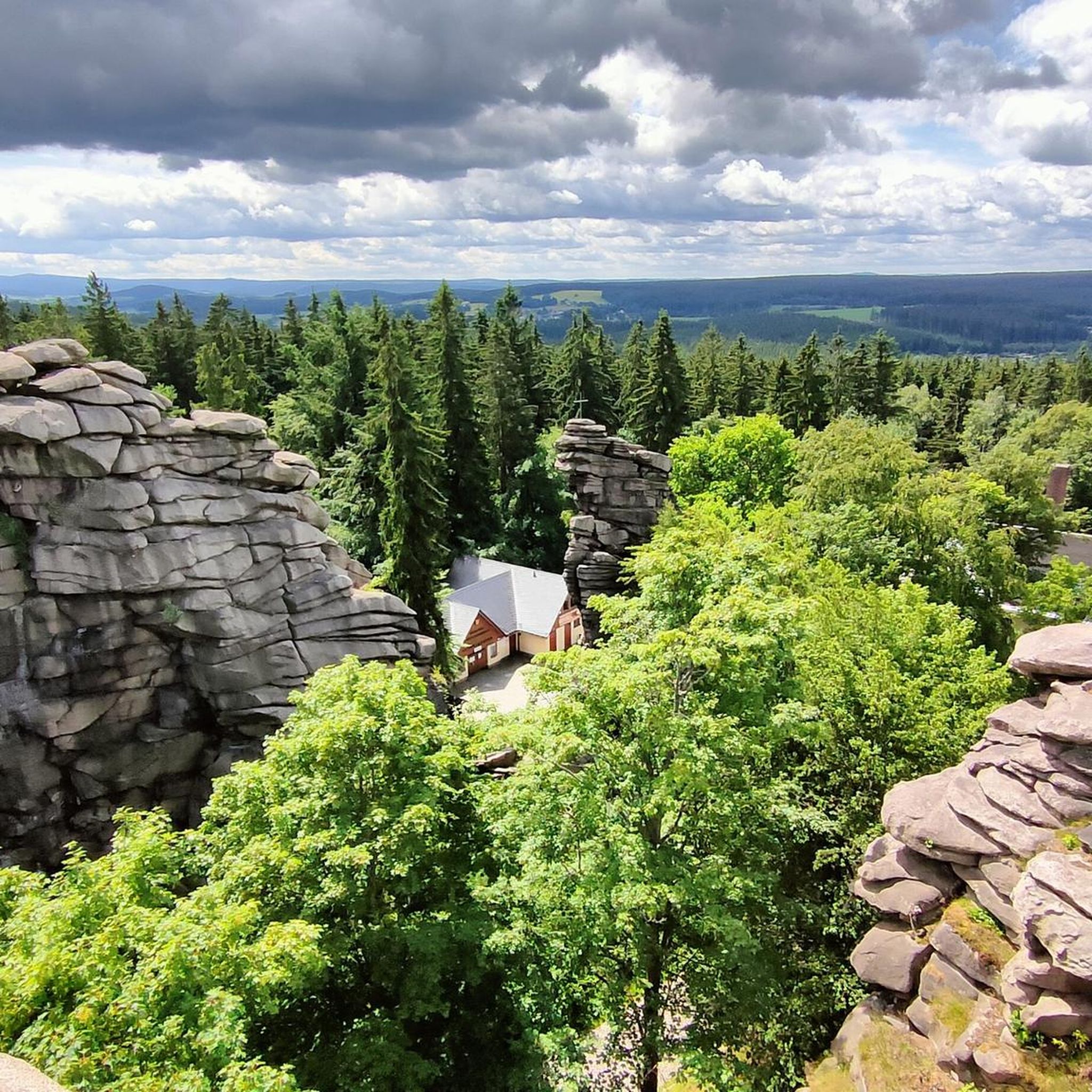
Pöhlberg 전망탑 및 Berghotel Röthberg
하이라이트 • 전망대
번역자 Google •
팁에 의해

드라이브뤼더회 전망대
하이라이트 • 전망대
번역자 Google •
팁에 의해
이런 장소를 발견하려면 지금 가입하세요
최고의 싱글 트랙, 봉우리 및 다양한 흥미로운 야외 장소에 대한 추천을 받아보세요.


슈레켄베르크 전망대
하이라이트 • 기념물
번역자 Google •
팁에 의해

무료로 가입하여 에렌프리더스도르프 주변의 더 많은 봉우리를 발견하세요.
이미 komoot 계정이 있나요?
오늘 무료 계정으로 시작하세요
다음 모험이 기다리고 있어요.
에렌프리더스도르프 주변 인기 장소

Let it flow! Cross-country skiing in the Ore Mountains
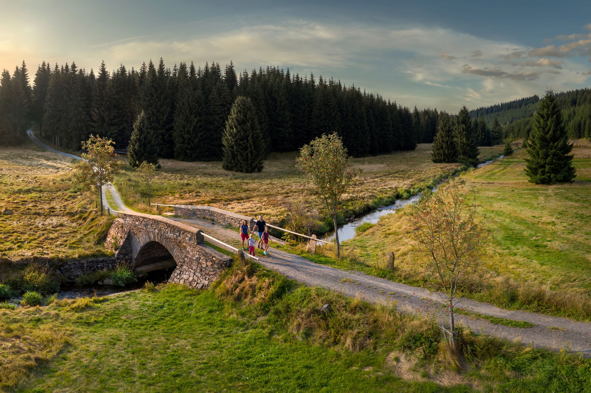
‘Good luck’ in the hiking paradise of the Ore Mountains
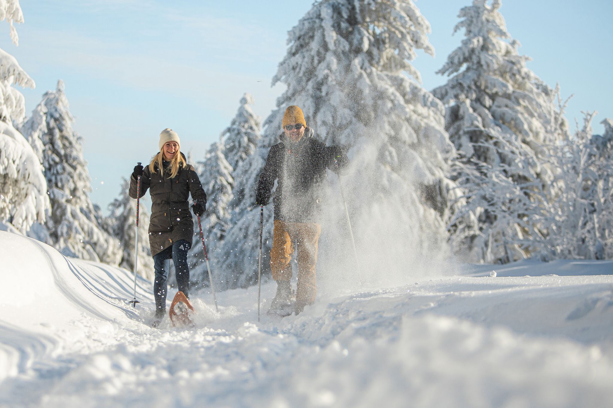
Glittering slopes and forests - winter hiking in the Ore Mountains
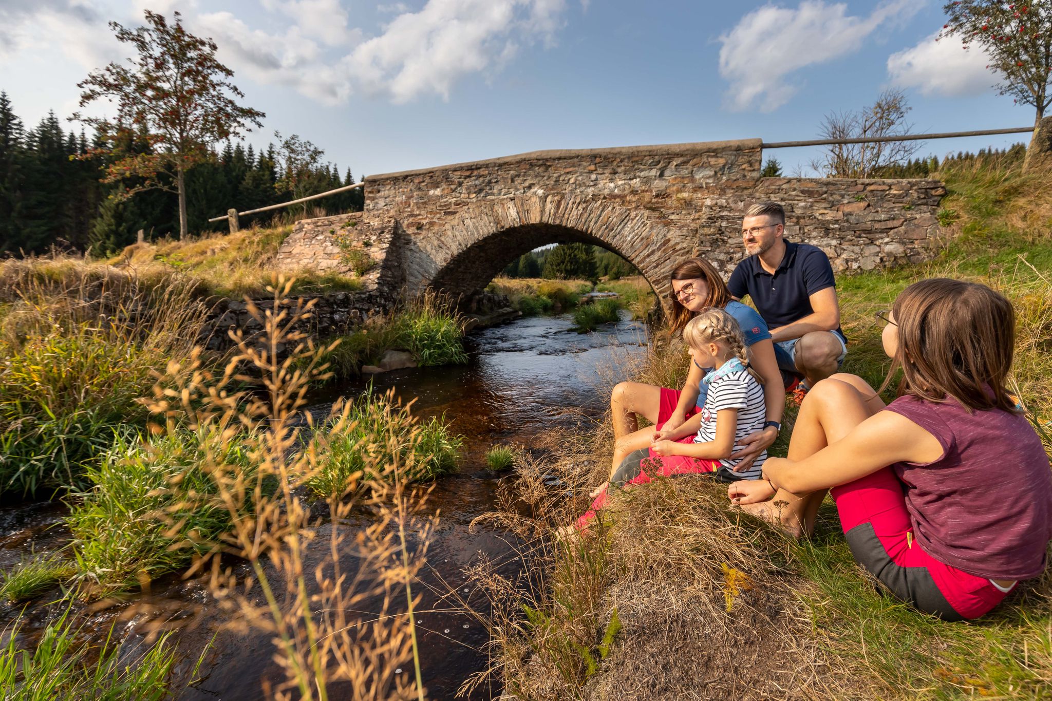
Wandertouren - Für kleine Wanderfreunde
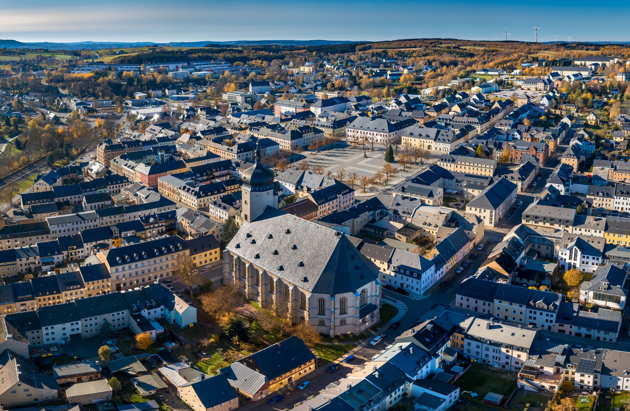
Wandertouren - "Glück Auf" im Welterbe
에렌프리더스도르프 하이킹
에렌프리더스도르프 MTB 트레일
에렌프리더스도르프 로드 사이클링 경로
에렌프리더스도르프 사이클링
에렌프리더스도르프 러닝 트레일
에렌프리더스도르프 주변의 다른 모험

커뮤니티 팁


At Schatzenstein you will find Nagel's Column, Station 127 of the Saxon State Survey of 1864, and the memorial plaque for Max Schreyer, the composer of the "Vuglbärbaam" song. A large rest area with a shelter offers space for a relaxing break.
3
0


How did the name "Tabakstanne" come about? Visit the place and find out!
0
0

왕립 작센 삼각 측량(여기서는 역사적 고유 명칭으로 표기)은 1862년부터 1890년까지 작센 왕국 영토에서 수행된 국가 측량으로, 동시에 삼각망이 구축되었습니다. 목표는 국가 영토를 과학적-측지학적으로 정확하게 파악하고 영구적으로 표시된 고정점을 설정하여 정확한 지도 제작의 기초를 마련하는 것이었습니다. August Nagel이 만든 삼각 측량망은 당시 세계에서 가장 정확한 측량망 중 하나로 간주되었습니다. Nagel의 기둥은 오늘날 기술 기념물로 보존되어 있습니다. Schatzenstein에서 Greifenstein, Scheibenberg, Fichtelberg, Hirschensprung, Auersberg, Hirschenstein 및 Katzenstein 관측소를 조준했습니다. 안타깝게도 이 파노라마 전망은 더 이상 존재하지 않습니다.
2
0

At 561.9 m, the Tabakstanne is the highest point in Thalheim and also the highest point on the B 180 between Thalheim and Stollberg. The name Tabakstanne originally comes from a fir tree that grew there, but it was destroyed by lightning in 1911. There was supposedly always a lighter in a hollow in the tree, so the point where the iron road crosses today's B 180 became a resting place for carters. At the Tabakstanne there is now an education and leisure center of the same name, which was previously used as a restaurant for excursions. (https://de.m.wikipedia.org/wiki/Tabakstanne ), (https://www.gruppenhaus.de/bildungs-und-freizeitzentrum-tabakstanne-thalheim-hs7015.html )
2
0

The name comes from a fir tree that was destroyed by lightning in 1911. There was supposedly always a lighter in a hollow in the tree, so the spot became a resting place for carters.
0
0
에렌프리더스도르프 주변에서 가장 인기 있는 명소


더 살펴보기
이 가이드를 통해 에렌프리더스도르프 주변의 더 놀라운 정상들을 확인해보세요:
