플레케비 최고의 워킹 & 하이킹 경로
4.7
(163)
659
등산객
28
하이킹
정확한 경로를 찾는 것이 때로는 어렵지만 플레케비에서 하이킹을 하면 다양한 경치를 마음껏 감상할 수 있답니다. 플레케비에서 가장 멋진 하이킹과 워킹 중에서 마음에 드는 활동을 시작해보세요.
마지막 업데이트: 10월 10, 2026
4.7
(6)
35
등산객
18.4km
04:44
80m
80m
보통 하이킹. 좋은 체력 필요. 실력과 관계없이 누구나 쉽게 갈 수 있는 길.
4.6
(37)
118
등산객
16.6km
04:15
60m
60m
보통 하이킹. 좋은 체력 필요. 실력과 관계없이 누구나 쉽게 갈 수 있는 길.

4.6
(10)
56
등산객
7.99km
02:03
30m
30m
보통 하이킹. 좋은 체력 필요. 실력과 관계없이 누구나 쉽게 갈 수 있는 길.
4.5
(15)
52
등산객
14.2km
03:44
120m
120m
보통 하이킹. 좋은 체력 필요. 실력과 관계없이 누구나 쉽게 갈 수 있는 길.
4.4
(12)
50
등산객
3.22km
00:50
20m
20m
초급용 하이킹. 모든 체력 수준에 적합. 실력과 관계없이 누구나 쉽게 갈 수 있는 길.
더 다양한 경로와 다른 탐험가들의 추천을 살펴보세요.
이미 komoot 계정이 있나요?
투어 추천은 다른 사람들이 komoot에서 완료한 수천 개의 활동을 바탕으로 구성되어 있습니다.
오늘 무료 계정으로 시작하세요
다음 모험이 기다리고 있어요.
플레케비 주변 인기 장소
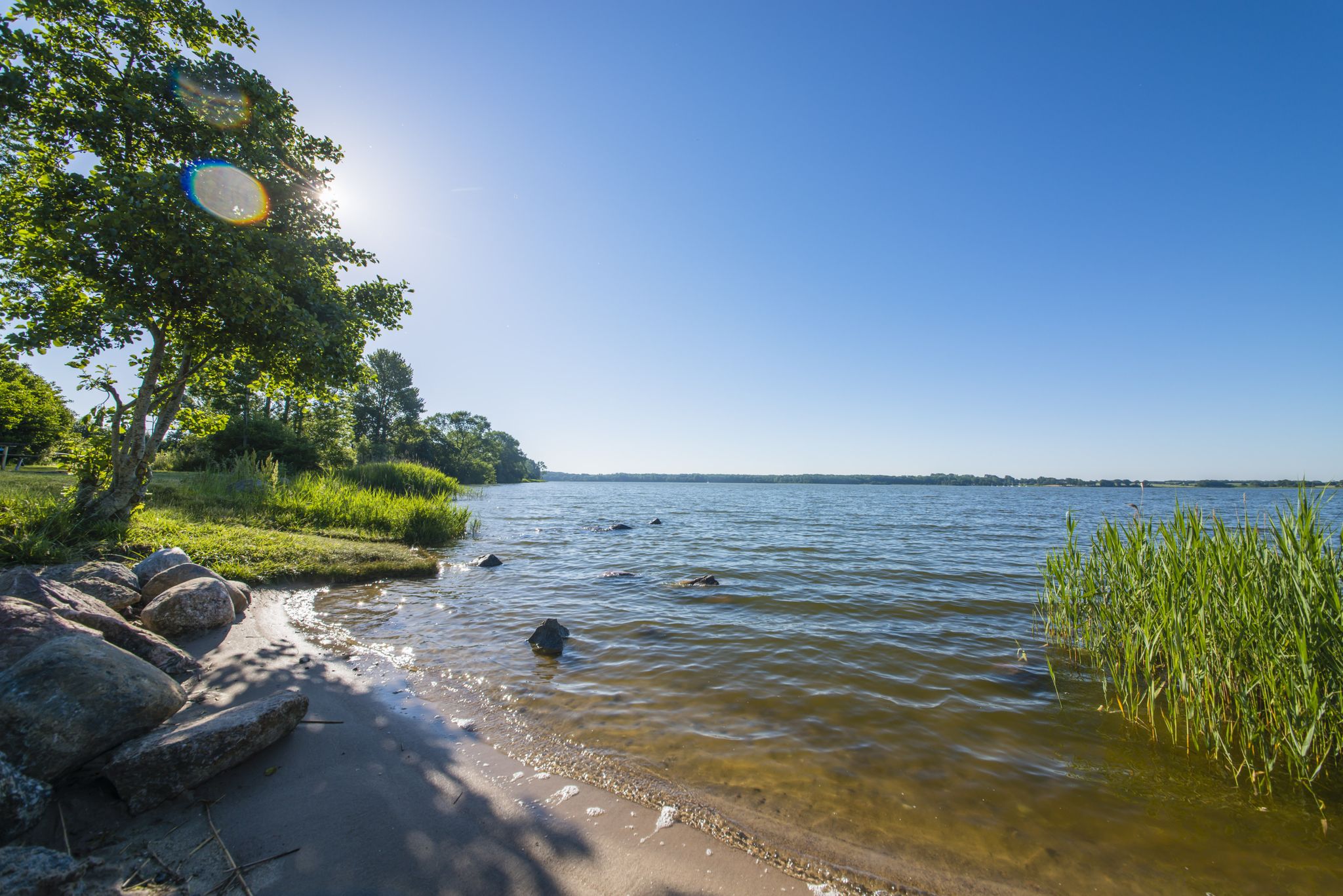
The journey is the destination – hikes along the River Schlei in Germany
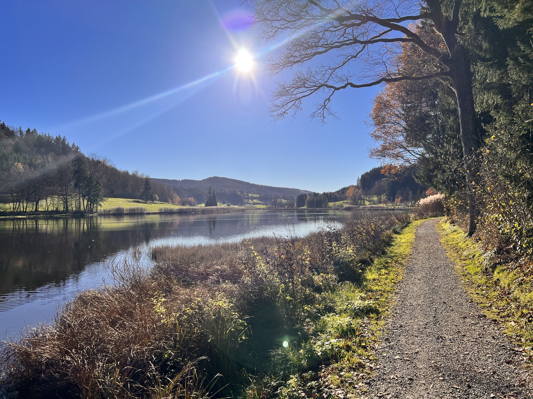
뛰어라 野외 - 독일 전체의 트레일 러닝 루트
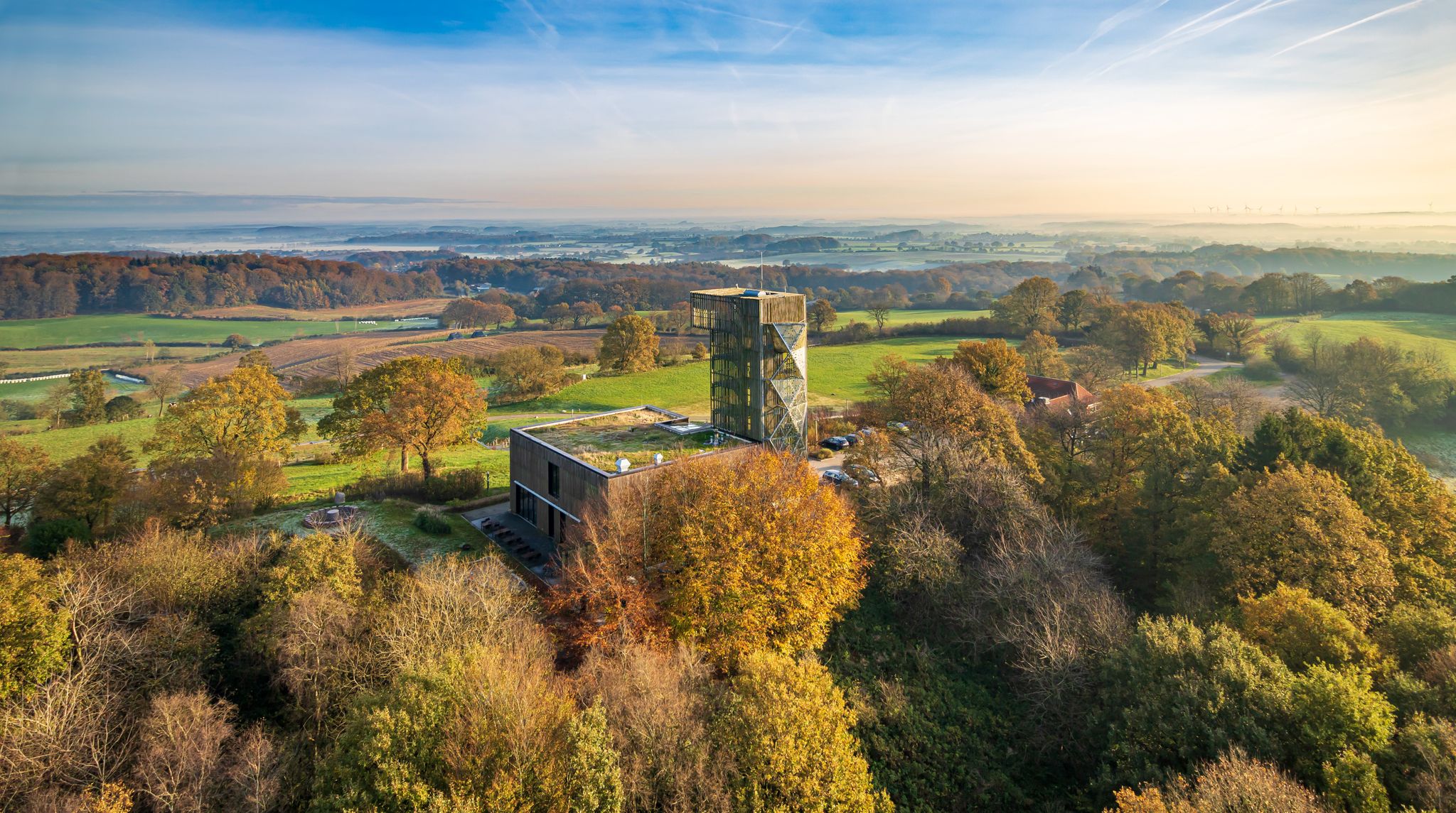
Between Geest and Hügelland — cycling in Germany’s Hütten Hills
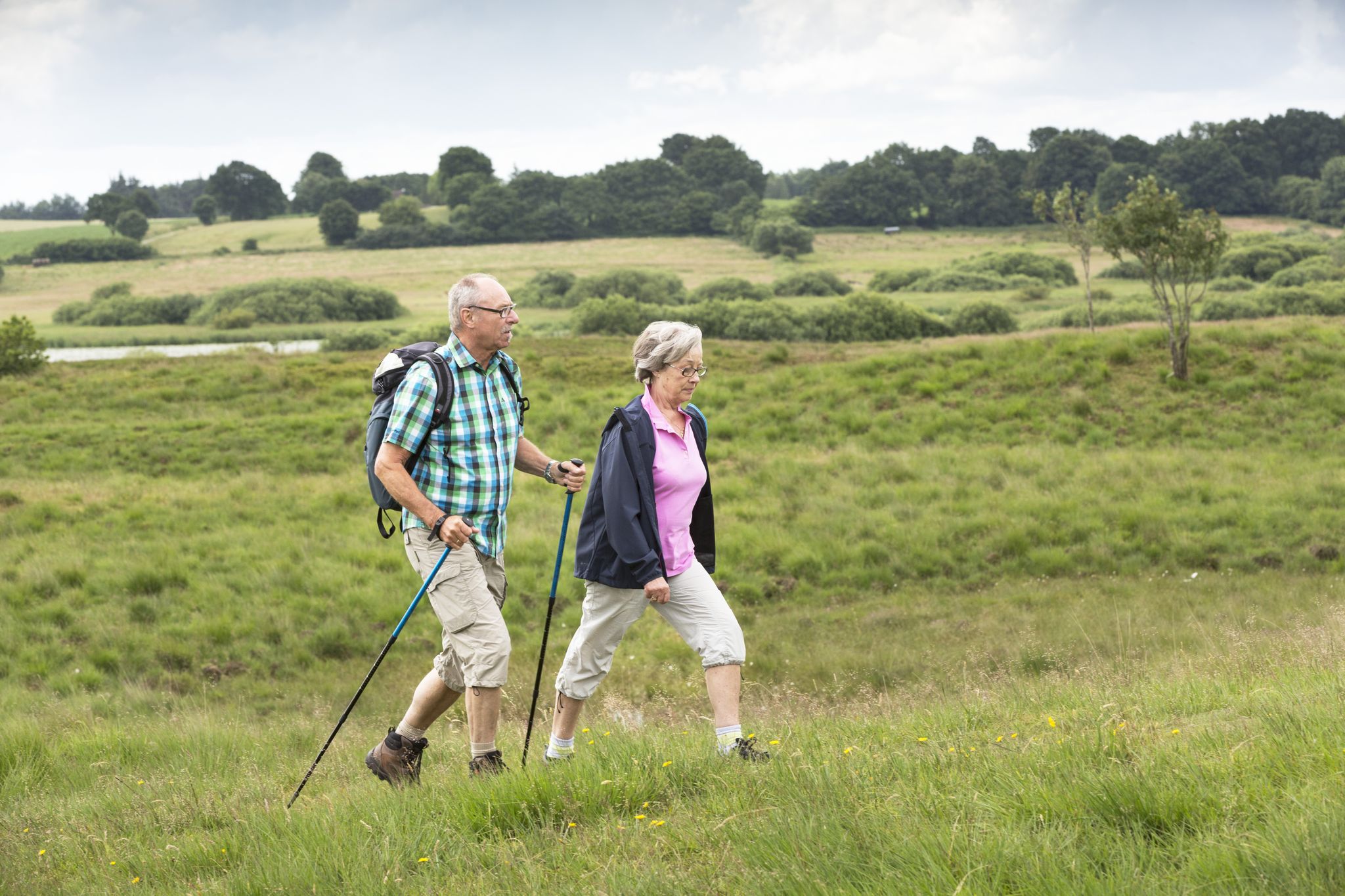
Pilger- und Fernwanderwege im Binnenland Schleswig-Holsteins
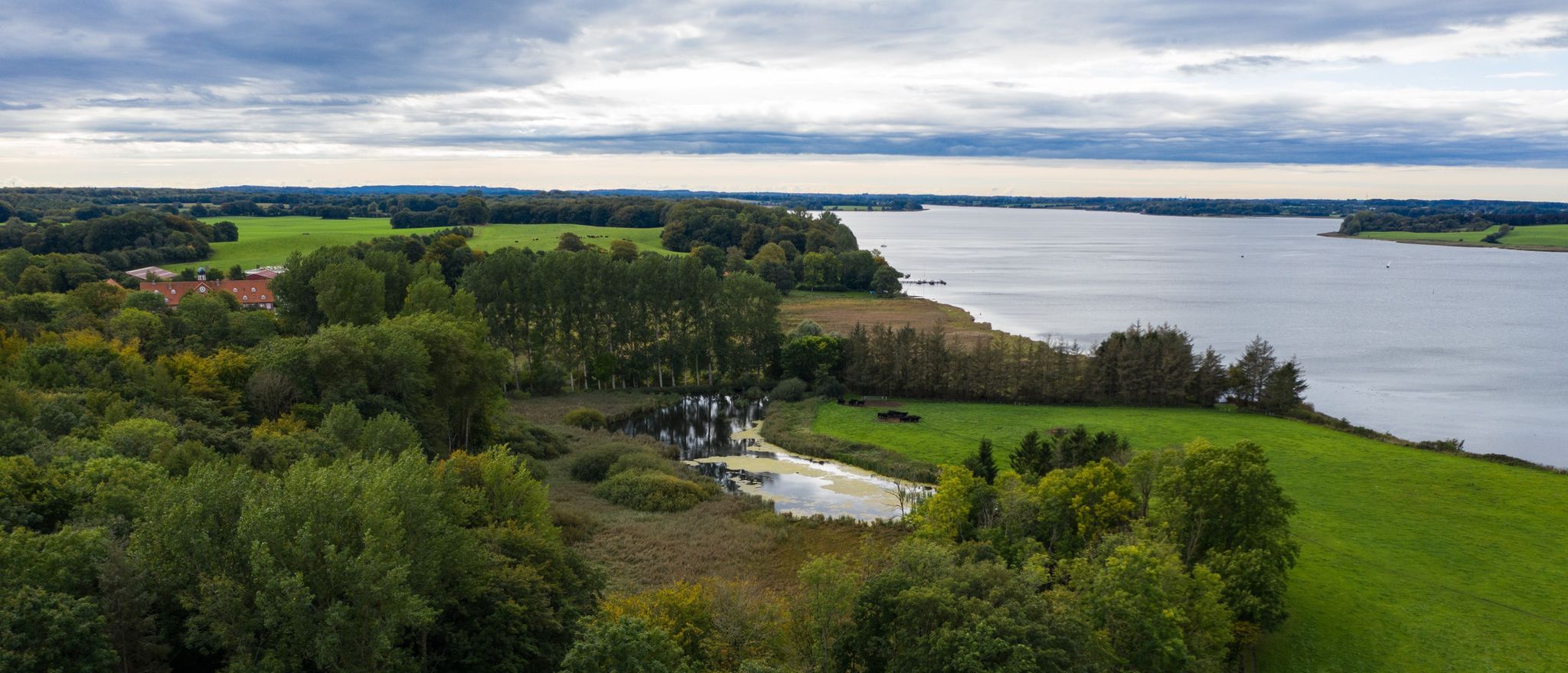
Wandern an der Schlei
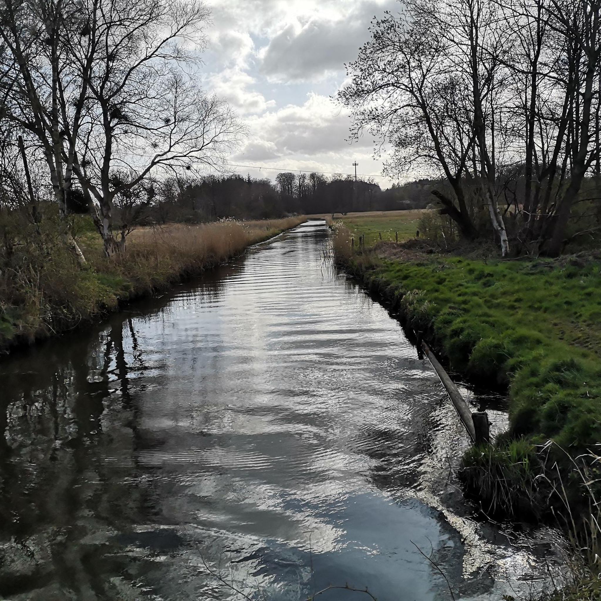
플레케비 사이클링
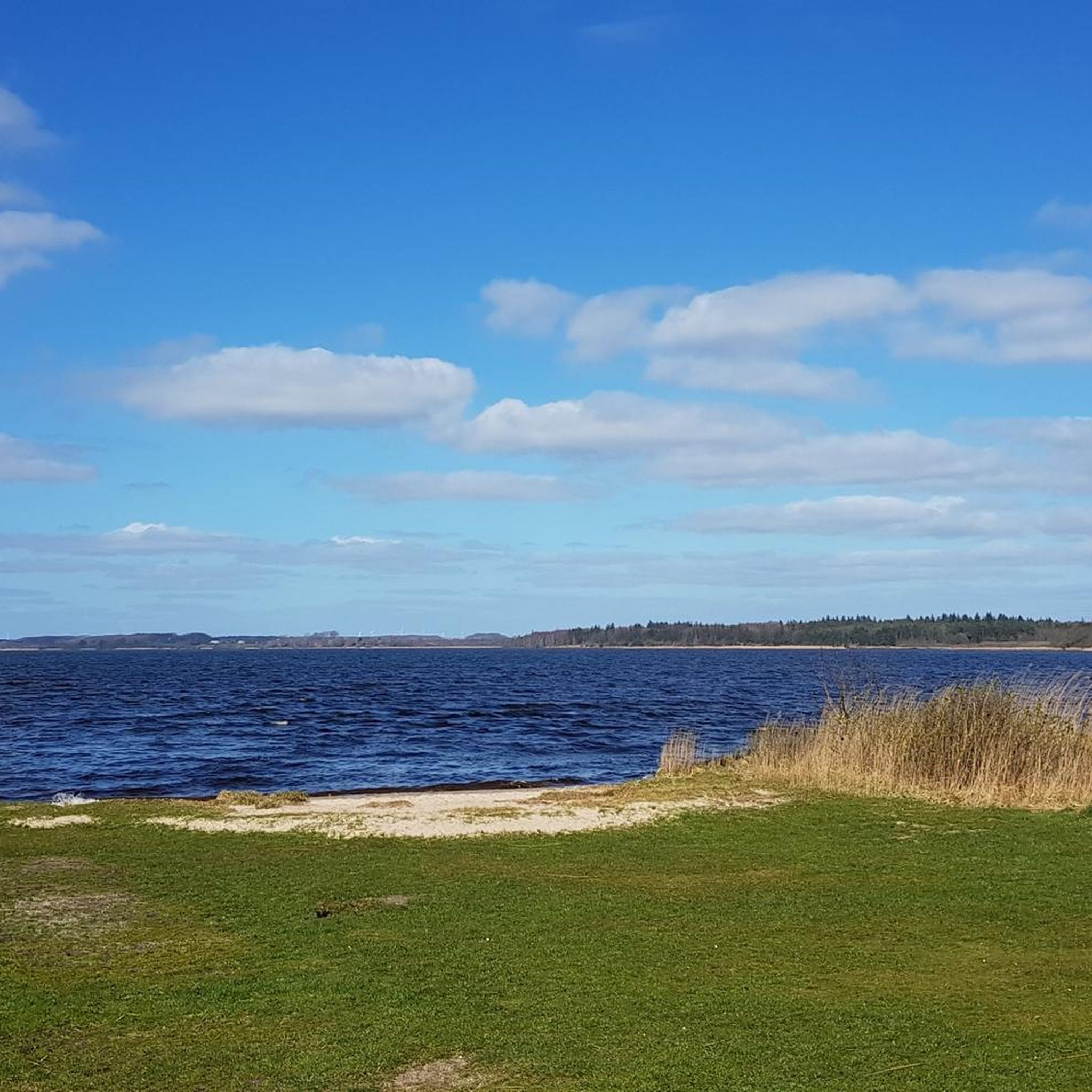
플레케비 로드 사이클링 경로
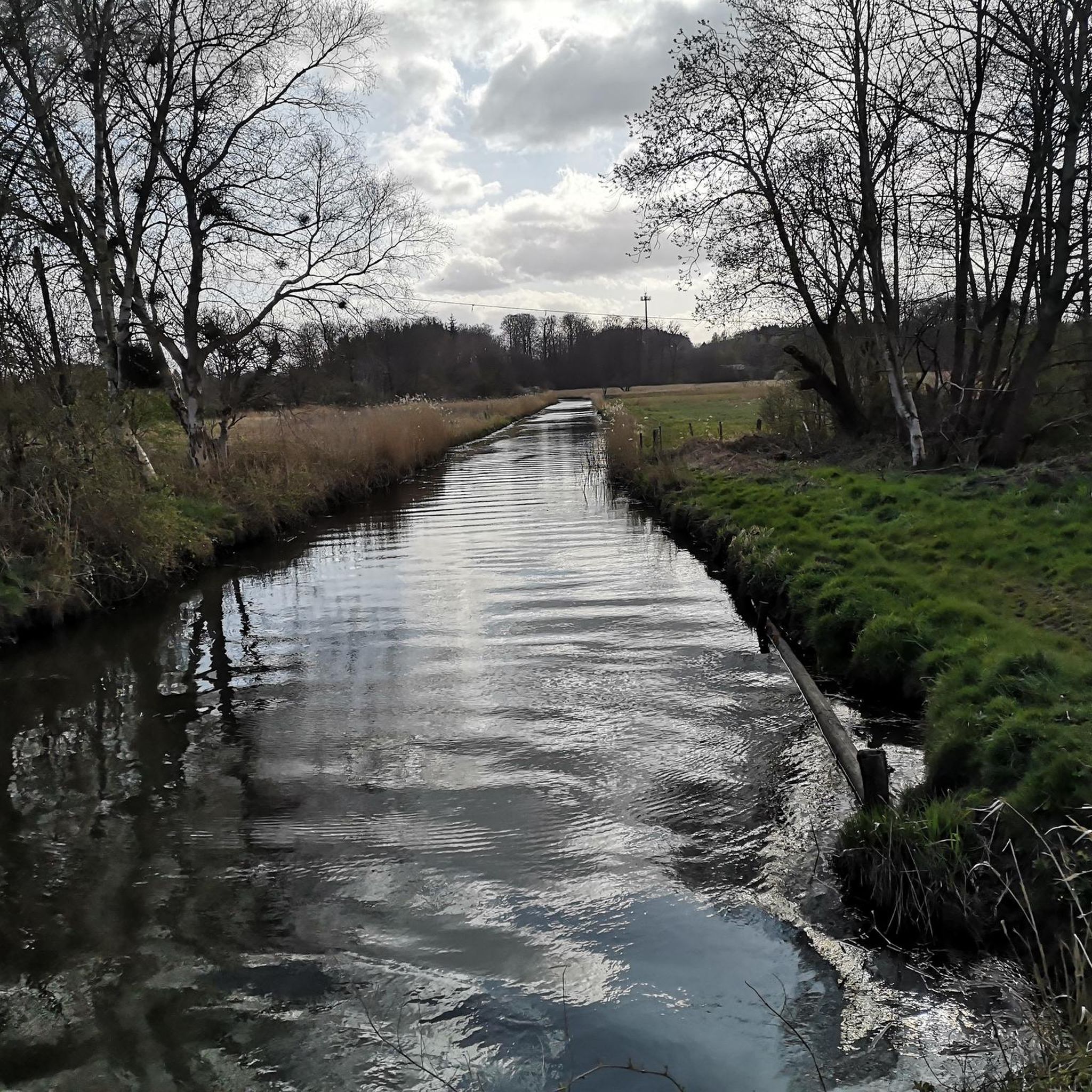
플레케비 러닝 트레일
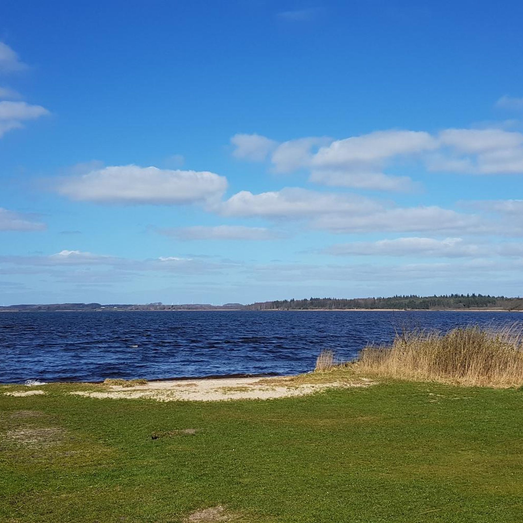
플레케비 MTB 트레일
플레케비 주변 그래블 라이딩
플레케비 주변의 다른 모험


커뮤니티 팁

Heinz Böhrensen, 1927-2017, Götheby의 전 시장, 이후 Fleckeby/Götheby/Schlei 통합 지자체의 시장, Hüttener Vorland 토지 재분할을 설립했습니다.
0
0

Walking along the unassuming Osterwall, you have a beautiful view of the lower-lying Windebyer Noor.
1
0

It is always worth hiking in the area of the Schlei, like here at the narrowest point of the Schlei, and enjoying the peace and quiet while hiking and listening to the birds.
0
0

The Schlei Nature Park is the northernmost of its kind in Germany. The Schlei region is a true natural paradise and home to numerous animal and plant species. With a unique mix of freshwater, brackish, and saltwater habitats, embedded in a diverse cultural landscape, it offers extraordinary diversity. The cultural landscape of the Schlei has been significantly shaped by the people who live and farm here. Today, the Schlei separates two very different landscapes: Angeln and Schwansen. The hilly landscape of Angeln is particularly characterized by small-scale agriculture and a dense hedgerow structure. The nature park was established in 2008 and covers an area of 500 square kilometers. You can find more information here: https://nationale-naturlandschaften.de/gebiete/naturpark-schlei-2.
1
0

The deepest point of the Windebyer Noor[2], at 13.6 metres, is in the north of the lake near the Eckernförde district of Carlshöhe; in the middle, the lake is eleven metres deep. The water of the Windebyer Noor is slightly saline (in different places between over one and a good two PSU[3]). Bulges of the Windebyer Noor are called Schnaaper Bucht (Snap Bugt), Norderhake (Nørrehage), Süderhake (Sønderhage), Südbucht (Sydbugt)[4] and Kochendorfer Bucht.[5] The Norderhake was the connecting arm of the Windebyer Noor to the Eckernförde city harbour.
0
0
The Windebyer Noor (obsolete: Eckernförder Noor, Schna(a)per Noor and Goos-Noor; Danish: Vindeby Nor, Low German: Winnebyer Noor, Winneby-Noor) is a 389 hectare inland lake in Schleswig-Holstein. It is located on the western edge of the town of Eckernförde, to whose municipal area it belongs. To the south and west, the eponymous municipality of Windeby borders the shore of the lake. Former residents of the lake were the municipality of Borby until its incorporation in 1934 (Borby exclave Schnaap) and the municipality of Gammelby until 1973 (Grasholz).
0
0

Even though it is a boring, straight route in terms of hiking, the background knowledge creates an exciting connection to our ancestors.
0
1

Here you have a clear view over the fields to the military installation on the 101 m high hill.
2
0
플레케비 주변에서 가장 인기 있는 명소


더 살펴보기
다른 지역의 최고의 하이킹를 살펴보세요.
