アルブラのおすすめライド
4.7
(489)
23,315
ライダー
37
ライド
このガイドでご紹介するのは、komootがアルブラでのロードバイクルートのコレクション全体を評価して選び抜いた、このエリアの人気バイクライドです。あなたに合ったものを見つけるには、以下のルートをクリックして標高データや舗装状態の分析などの細かな情報を把握し、さらにkomootコミュニティのメンバーが投稿した役立つ情報や写真も閲覧しましょう。
最終更新日: 8月 28, 2026
4.8
(71)
3,584
ライダー
106km
06:09
2,430m
2,430m
難しいロードライド. 標準以上のフィットネスレベルが必要です。 ツアーの一部に、未舗装のため走行が難しい箇所があるかもしれません。
4.8
(58)
3,521
ライダー
127km
07:09
2,840m
2,840m
難しいロードライド. 標準以上のフィットネスレベルが必要です。 全般的に舗装状態が良好で走行しやすい道です。

無料新規登録
4.8
(11)
448
ライダー
76.9km
04:21
1,640m
1,640m
難しいロードライド. 標準以上のフィットネスレベルが必要です。 ツアーの一部に、未舗装のため走行が難しい箇所があるかもしれません。
4.8
(10)
423
ライダー
86.8km
05:08
2,150m
2,150m
難しいロードライド. 標準以上のフィットネスレベルが必要です。 全般的に舗装状態が良好で走行しやすい道です。
5.0
(1)
251
ライダー
51.4km
03:15
1,490m
1,490m
難しいロードライド. 標準以上のフィットネスレベルが必要です。 全般的に舗装状態が良好で走行しやすい道です。
4.5
(2)
188
ライダー
191km
11:13
4,600m
4,600m
難しいロードライド. 標準以上のフィットネスレベルが必要です。 ツアーの一部に、未舗装のため走行が難しい箇所があるかもしれません。
4.7
(3)
209
ライダー
38.0km
02:21
1,030m
1,030m
難しいロードライド. 標準以上のフィットネスレベルが必要です。 全般的に舗装状態が良好で走行しやすい道です。
4.0
(3)
138
ライダー
26.7km
01:44
780m
780m
中程度のロードライド. ある程度のフィットネスレベルが必要です。 全般的に舗装状態が良好で走行しやすい道です。
187
ライダー
54.4km
03:00
1,100m
1,100m
難しいロードライド. 標準以上のフィットネスレベルが必要です。 全般的に舗装状態が良好で走行しやすい道です。
5.0
(1)
116
ライダー
49.4km
02:53
1,120m
1,120m
難しいロードライド. 標準以上のフィットネスレベルが必要です。 全般的に舗装状態が良好で走行しやすい道です。
さらに多くのルートや他のユーザーのおすすめ情報を確認できます。
無料新規登録
すでにアカウントをお持ちですか?
おすすめのツアーは他のkomootユーザーが実際に経験した何千ものアクティビティに基づいています。

アルブラでのの他の冒険


コミュニティからのヒント

2023年6月、岩塊は山村ブリエンツをかすめていきました。この村は近年何度も避難しており、現在は落ち着いているようですが、いつまで続くかは誰にもわかりません。
0
0

ジュリアー峠、歴史(峠の標高2284m) ジュリアー峠の頂上に正確にある円柱の残骸と、その隣で見つかったローマ時代の硬貨は、このアルプス越えが非常に早期から利用されていたことを示唆しています。数キロ西にあるセプティマー峠は、より急で雪崩の危険性が高かったものの、競争相手と見なすことができます。確かなことは、両方ともローマ時代に集中的に利用されていたということです。ジュリアー峠では二輪の荷車さえも使われていました。 荷馬車の時代には、セプティマー峠の地形はほとんど問題にならず、エンガディンを経由する迂回も必要なかったため、ジュリアー峠の重要性はますます失われていきました。セプティマー峠に馬車道が建設された(1387年)ことで、ジュリアー峠は最終的に後れを取りました。ジュリアー峠は、オーバーエンガディンとベルニナ峠へのアクセスにとって重要であり続けました。ジュリアー峠の実際の道路建設は1820年から1826年の間に行われました。この歴史の段階では、ジュリアー峠はセプティマー峠に対して「優位性」を保っていました。一方では地形的な理由が決定的な要因となり、他方ではカントンはエンガディンを無視する余裕がありませんでした。これはカントンが施主として行動した最初の道路建設プロジェクトでした。 19世紀後半には、オーバーエンガディンの保養地への増加するアクセス交通のために必要となった、様々なルートの調整が行われました。1903年のレティッシュ鉄道のアルブラ線開業により、ジュリアー峠を通る自動車交通は再び激減しました。1923年に連邦参事会がグラウブーデン州政府に自動車で通行可能なルートの整備を求めた際、カントンはジュリアー峠ルートを選択しました。1935年から1940年の間に峠道は改修され、アルプス越えで初めてアスファルト舗装が施されました。今日、ジュリアー峠はエンガディンへの最も重要で、年間を通じて開通している北側のアクセスルートです。 テキスト/出典: Interessengemeinschaft Alpenpässe IAP, Postfach 11, Realp https://www.alpen-paesse.ch/de/alpenpaesse/julierpass/
13
0
ユリヤー峠 - 約2000年前、ローマ帝国時代から 約2000年前、ローマ帝国時代からユリヤー峠は非常に重要でした。峠の頂上には、今でもローマの神殿の2本の柱が残っています。 今日、ユリヤー峠の峠道はエンガディンへの最も重要な道路接続であり、一年中通行可能です。ユリヤー峠周辺では、この地域を理想的に探索できる数多くのハイキングおよびサイクリングルートがあります。ユリヤーホスピッツ(標高2284m)からは、エクスプロレーションツアーや、澄んだ山の湖レグ・グレヴァルヴァスへのハイキングが始まります。 テキスト / 出典: Graubünden Ferien, Alexanderstrasse 24, Chur https://www.graubuenden.ch/de/ausflugsziele/julierpass
13
0


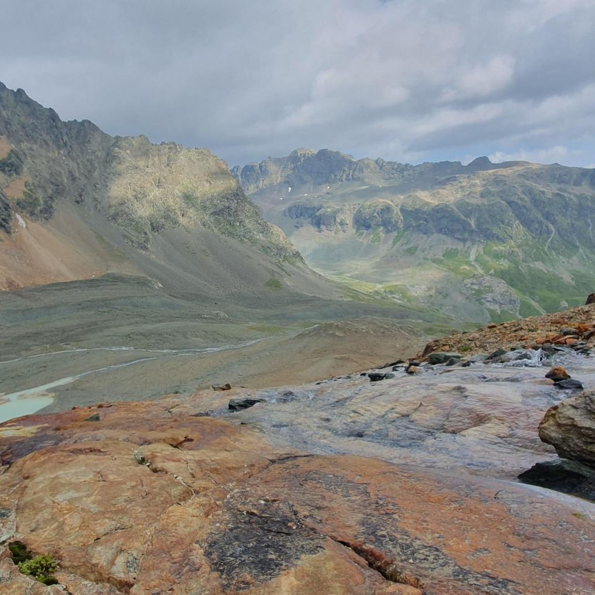
ダムに向かって北側の湖の入り口から、マルモレラ貯水池全体の素晴らしい眺め。春は水量が少ない。注意:峠道に直接面しているため、自転車でのみ、交通量が少ない場合にのみアクセス可能です。
0
0
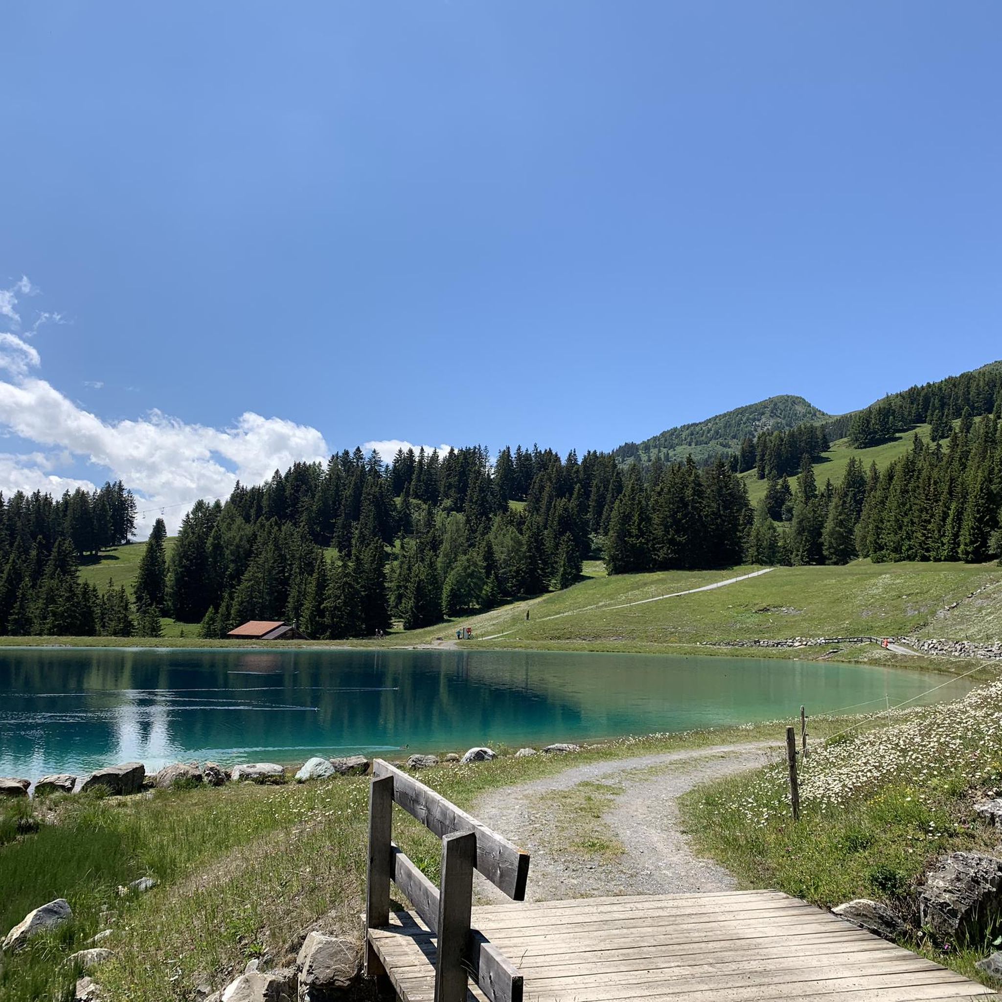
小さな湖の美しい景色、4月にはまだ凍っていて、素晴らしく、大きく、保護された高山植物、毛深いアネモネがありました
0
0

ラ・プントでの短い休憩は価値があります。これは主に、人目を引く白い家、チェーザ・メルレダによるものです。これはエンガディン建築の顕著な例です。
1
0
The story of St. Moritz begins in 1864 The story of St. Moritz, as we know it today, begins in 1864, when hotelier Johannes Badrutt made a bet with his guests from Great Britain. He promised that not only the summer, but also the St. Moritz winter would be so pleasant that on sunny days one could enjoy the sun on the terrace without a jacket. Should his promise prove false, the hotelier would pay for their travel and winter stay. Wrapped head to toe in furs, the group of men crossed the Julier Pass the following December. Upon arriving in St. Moritz, the sky was clear, the sun warm, and Badrutt stood before them to greet them without a jacket and with his shirtsleeves rolled up. Winter tourism was born. More: Pioneer History | St. Moritz, Switzerland (stmoritz.com) Text/Source: ENGADIN ST. MORITZ TOURISMUS AG Via Maistra 1, CH-7500 St. Moritz, www.stmoritz.com https://www.engadintourismus.ch/fileadmin/user_upload/Fakten_ueber_St._Moritz_DE.pdf
15
0

komootモバイルアプリでインスピレーションを得よう


探していたものは見つかりませんでしたか?
アルブラの下にある他のロードサイクリングルートをチェックして、目的地で完璧なルートを見つけましょう。
