インボーデンのおすすめライド
4.4
(414)
13,944
ライダー
28
ライド
このガイドでご紹介するのは、komootがインボーデンでのロードバイクルートのコレクション全体を評価して選び抜いた、このエリアの人気バイクライドです。あなたに合ったものを見つけるには、以下のルートをクリックして標高データや舗装状態の分析などの細かな情報を把握し、さらにkomootコミュニティのメンバーが投稿した役立つ情報や写真も閲覧しましょう。
最終更新日: 9月 24, 2026
4.7
(35)
712
ライダー
45.9km
02:37
1,020m
1,020m
難しいロードライド. 標準以上のフィットネスレベルが必要です。 全般的に舗装状態が良好で走行しやすい道です。
4.5
(19)
576
ライダー
55.0km
02:19
380m
380m
中程度のロードライド. ある程度のフィットネスレベルが必要です。 全般的に舗装状態が良好で走行しやすい道です。

5.0
(7)
501
ライダー
59.5km
03:03
1,010m
1,010m
難しいロードライド. 標準以上のフィットネスレベルが必要です。 全般的に舗装状態が良好で走行しやすい道です。
4.9
(28)
788
ライダー
142km
07:26
2,550m
2,550m
難しいロードライド. 標準以上のフィットネスレベルが必要です。 全般的に舗装状態が良好で走行しやすい道です。
4.3
(4)
284
ライダー
85.6km
04:03
980m
980m
難しいロードライド. 標準以上のフィットネスレベルが必要です。 ツアーの一部に、未舗装のため走行が難しい箇所があるかもしれません。
4.5
(19)
586
ライダー
49.4km
02:16
560m
560m
中程度のロードライド. ある程度のフィットネスレベルが必要です。 全般的に舗装状態が良好で走行しやすい道です。
4.5
(2)
73
ライダー
22.4km
01:04
280m
280m
初級者向けロードバイクライド. あらゆるフィットネスレベルに適しています。 全般的に舗装状態が良好で走行しやすい道です。
4.8
(4)
64
ライダー
62.2km
03:41
1,580m
1,580m
難しいロードライド. 標準以上のフィットネスレベルが必要です。 全般的に舗装状態が良好で走行しやすい道です。
4.0
(1)
82
ライダー
189km
10:11
3,710m
3,710m
難しいロードライド. 標準以上のフィットネスレベルが必要です。 全般的に舗装状態が良好で走行しやすい道です。
95
ライダー
33.6km
01:58
780m
780m
中程度のロードライド. ある程度のフィットネスレベルが必要です。 ツアーの一部に、未舗装のため走行が難しい箇所があるかもしれません。
さらに多くのルートや他のユーザーのおすすめ情報を確認できます。
すでにアカウントをお持ちですか?
おすすめのツアーは他のkomootユーザーが実際に経験した何千ものアクティビティに基づいています。

インボーデンでのの他の冒険


コミュニティからのヒント

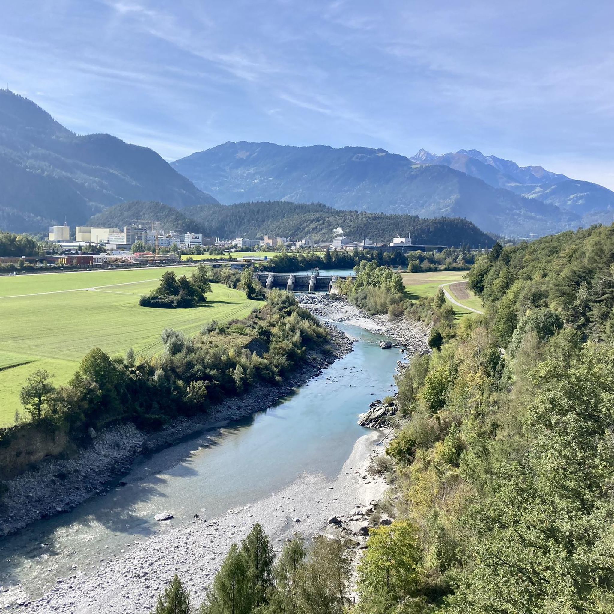
バート・ラーガッツは、タミナ渓谷へハイキングに出かけることができる、美しく小さな町です。 https://de.wikipedia.org/wiki/Bad_Ragaz
0
0

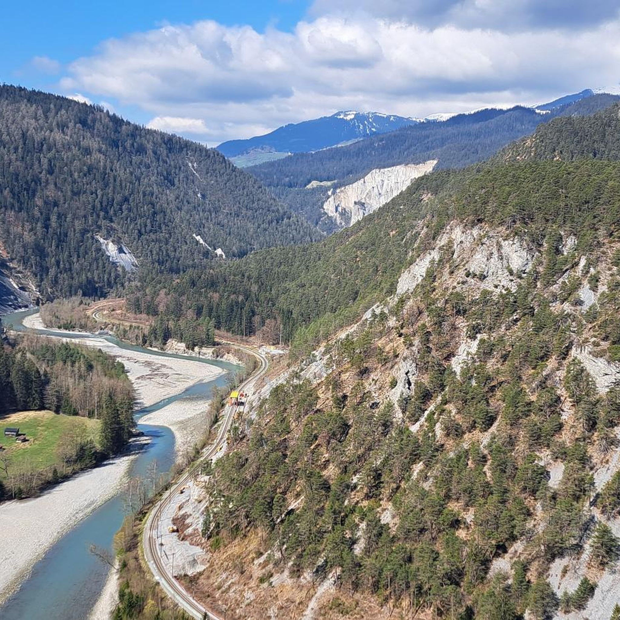
RhB駅ライヘナウ、駐車場あり、ライヘナウからサゴニェまたはイランツまでのワイルドなフォルダーライン渓谷を抜けるサイクリングまたはハイキングツアーの出発点として非常に適しています。渓谷沿いには、トリン、フェルサム・サフィエン、またはヴァレンダス・サゴニェなどの小さなRhB鉄道駅があり、途中下車やライヘナウへの帰路に利用できます。
0
0


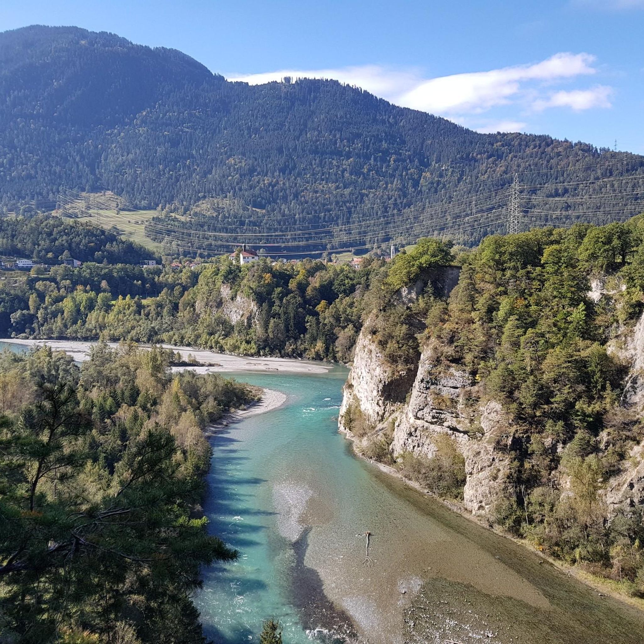
easy to drive and scenically spectacular
0
0

Saints Anne and Joachim are considered the parents of the Mother of God, whose birth this church celebrates. They are thus the grandparents of Jesus, but are not mentioned by name in the biblical writings of the New Testament. An exact date, in the historical or scientific sense, is not known for the various stages in the life of the Mother of God. However, the Feast of the Nativity of the Mother of God—one of Mary's numerous honorary titles—is celebrated on September 8th in many Christian denominations (Catholic, Anglican, Orthodox, and Armenian).
0
1

A place of power in a special class
0
0

Disentis is the largest town in Surselva and NOT Ilanz.
1
0

Parish Church of the Nativity of Mary, Rhäzüns The present-day landscape of Rhäzüns is largely shaped by the Catholic parish church of Nossadunna, located in the center of the village. The church tower rises high above the rooftops and is a landmark visible from afar. Although consecrated in 1701, the Baroque sacred building did not become a parish church until 1777. The floor plan shows an octagonal central structure with two side niches and a polygonal choir loft extended to the north. The tower is inserted into the eastern choir shoulder, and the sacristy is located in the western one. The parish of Rhäzüns always celebrates the patronal feast of the parish church of the Nativity of Mary on the first Sunday in September. However, if September 8th falls on a Sunday, the Solemnity is celebrated on September 8th. Mass begins at 10:00 a.m. All churches are open daily from 8:00 a.m. to 7:00 p.m. (Automatic door closing) Text / Source: Catholic Parish of 7403 Rhäzüns https://www.kirchgemeinde-rhaezuens.ch/kirchen/
15
0

komootモバイルアプリでインスピレーションを得よう


探していたものは見つかりませんでしたか?
インボーデンの下にある他のロードサイクリングルートをチェックして、目的地で完璧なルートを見つけましょう。
