ビュルサーベルクのおすすめ登山&山歩きルート
4.9
(42)
309
ハイカー
16
ハイキング
モンタフォンの山々をもっと探索しませんか?このガイドでご紹介するのは、komootがビュルサーベルクでの登山&山歩きのコレクション全体を評価して選び抜いた、このエリアの人気ルートです。あなたに合ったルートを見つけるには、他のユーザーがアップロードした役立つ情報や写真を閲覧し、クリック操作で簡単に表示できる詳細なデータを参考にしましょう。ビュルサーベルクでの次の冒険にぴったりの登山&山歩きルートが見つかるはずです。
最終更新日: 9月 13, 2026
4.8
(14)
110
ハイカー
12.7km
06:16
930m
930m
難しい登山ルート. 標準以上のフィットネスレベルが必要です。 安定して歩行できる技術、丈夫な靴、高標高地での登山経験が必要です。
4.8
(12)
77
ハイカー
12.8km
05:45
830m
830m
難しい登山ルート. 標準以上のフィットネスレベルが必要です。 安定して歩行できる技術、丈夫な靴、高標高地での登山経験が必要です。

5.0
(2)
20
ハイカー
14.9km
05:27
890m
890m
難しい登山ルート. 標準以上のフィットネスレベルが必要です。 全般的に進みやすいルートです。安定して歩行できる技術が必要です。
5.0
(3)
18
ハイカー
9.02km
04:52
760m
760m
難しい登山ルート. ある程度のフィットネスレベルが必要です。 安定して歩行できる技術、丈夫な靴、高標高地での登山経験が必要です。
10
ハイカー
13.2km
07:53
1,420m
1,420m
難しい登山ルート. 標準以上のフィットネスレベルが必要です。 安定して歩行できる技術、丈夫な靴、高標高地での登山経験が必要です。
さらに多くのルートや他のユーザーのおすすめ情報を確認できます。
すでにアカウントをお持ちですか?
おすすめのツアーは他のkomootユーザーが実際に経験した何千ものアクティビティに基づいています。
無料アカウントで今日から始めよう
次の冒険が待っています。
ビュルサーベルク周辺で人気
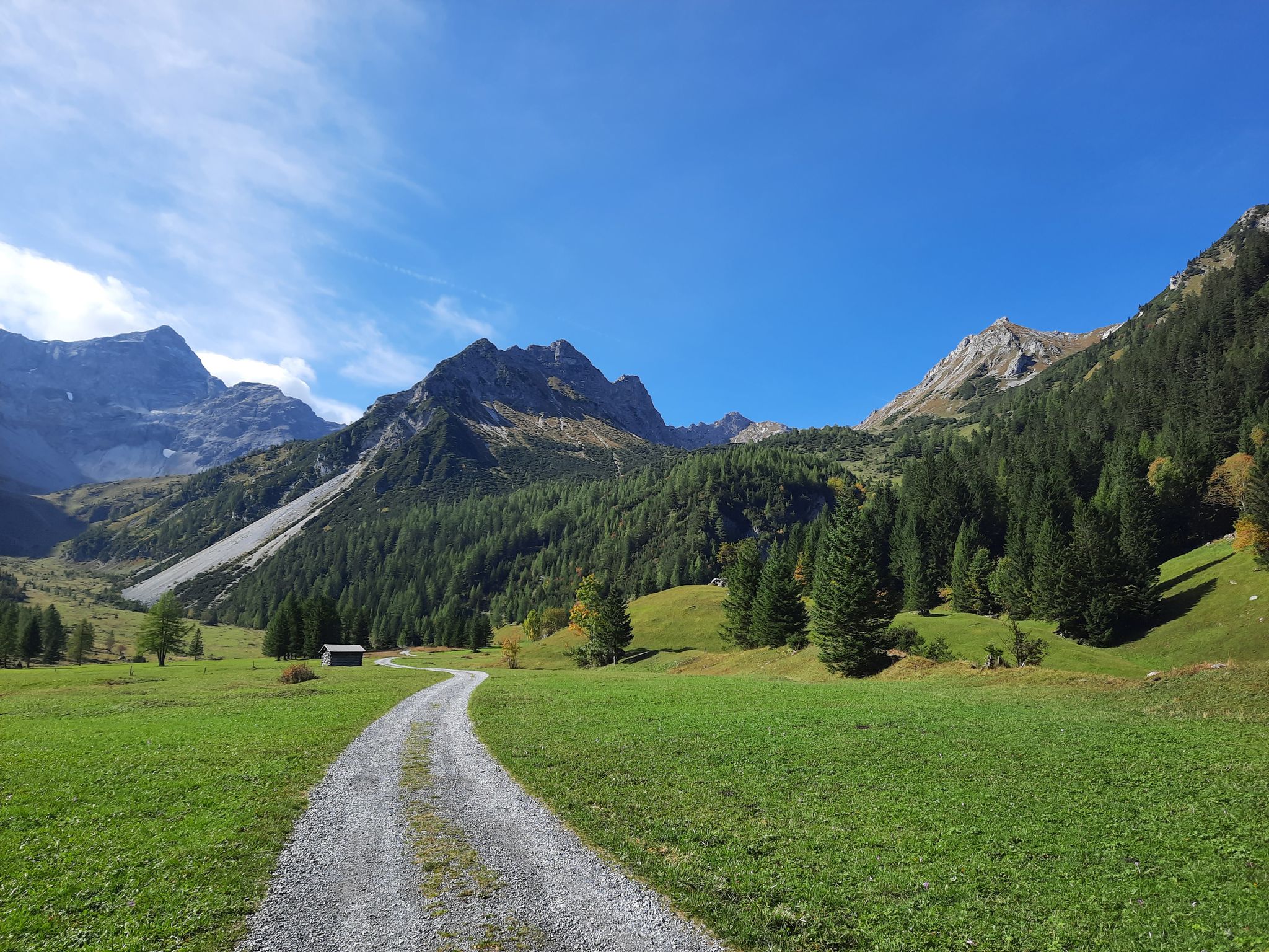
Autumn magic in Brandnertal – 6 hikes for the golden season
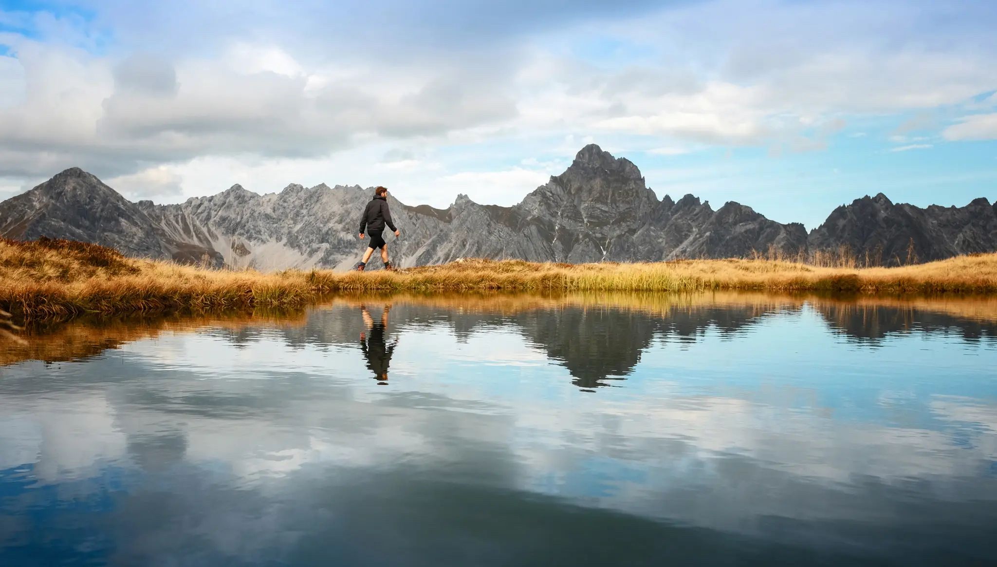
Golden season – autumn hikes in Vorarlberg
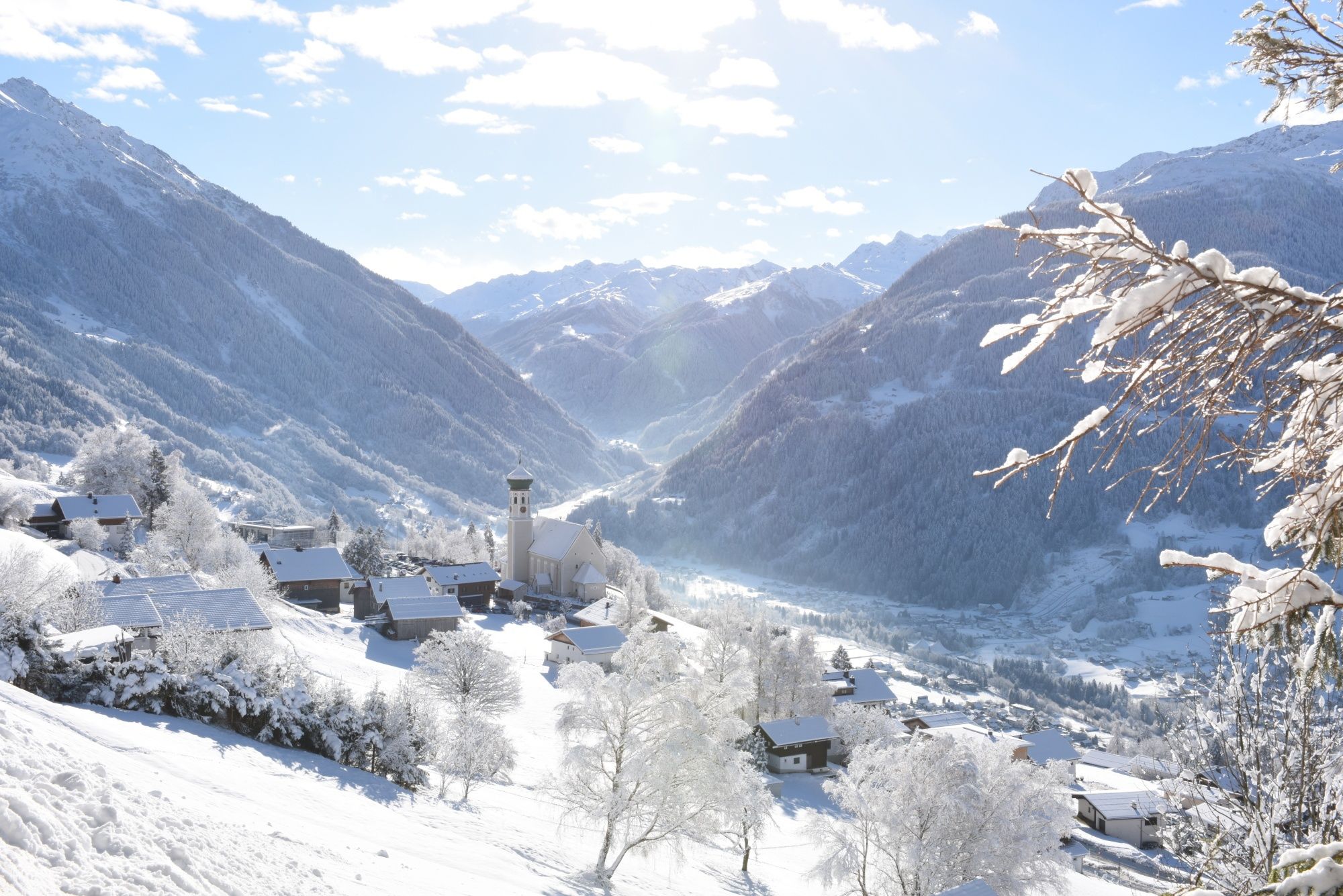
Tobogganing, ice bathing and hiking – winter away from the slopes
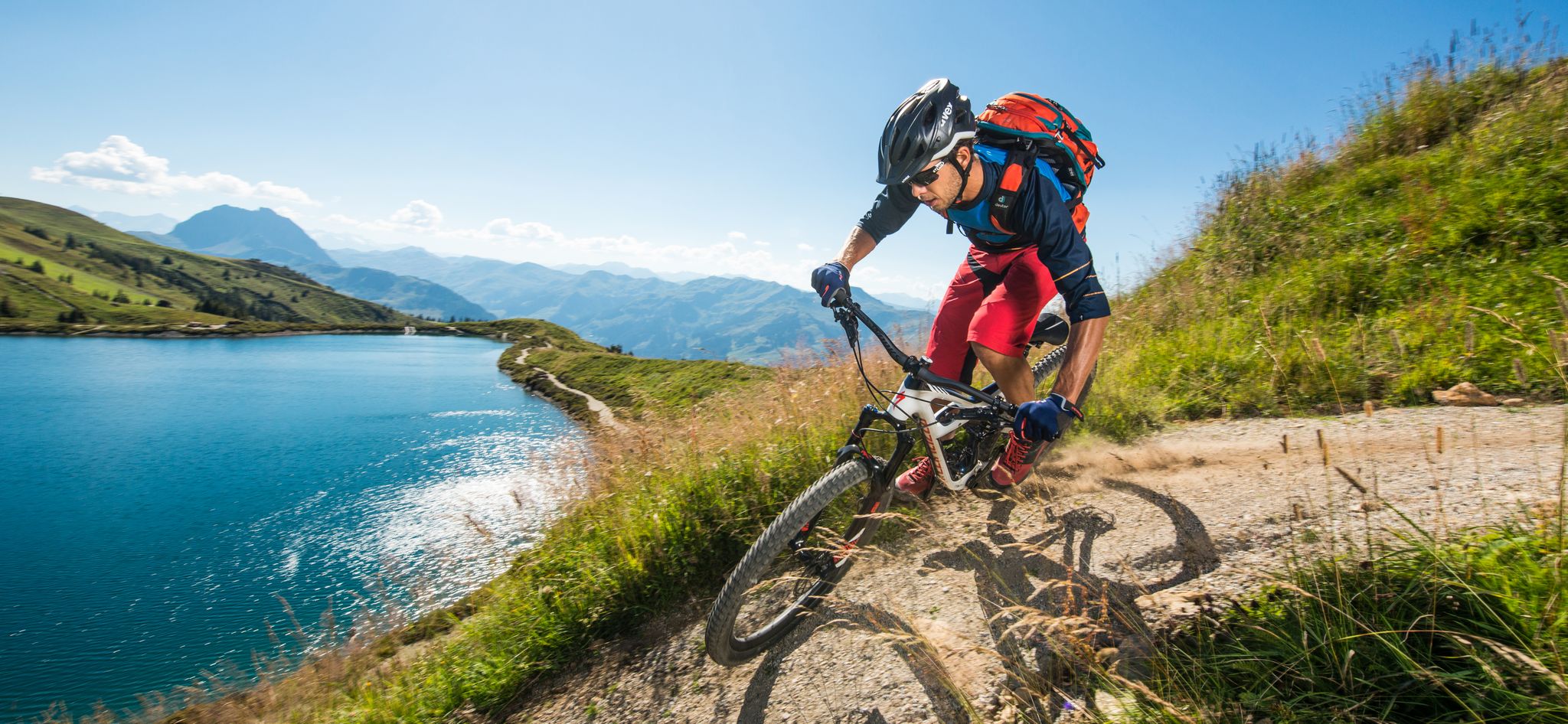
6 Top Bike Experiences in Austria
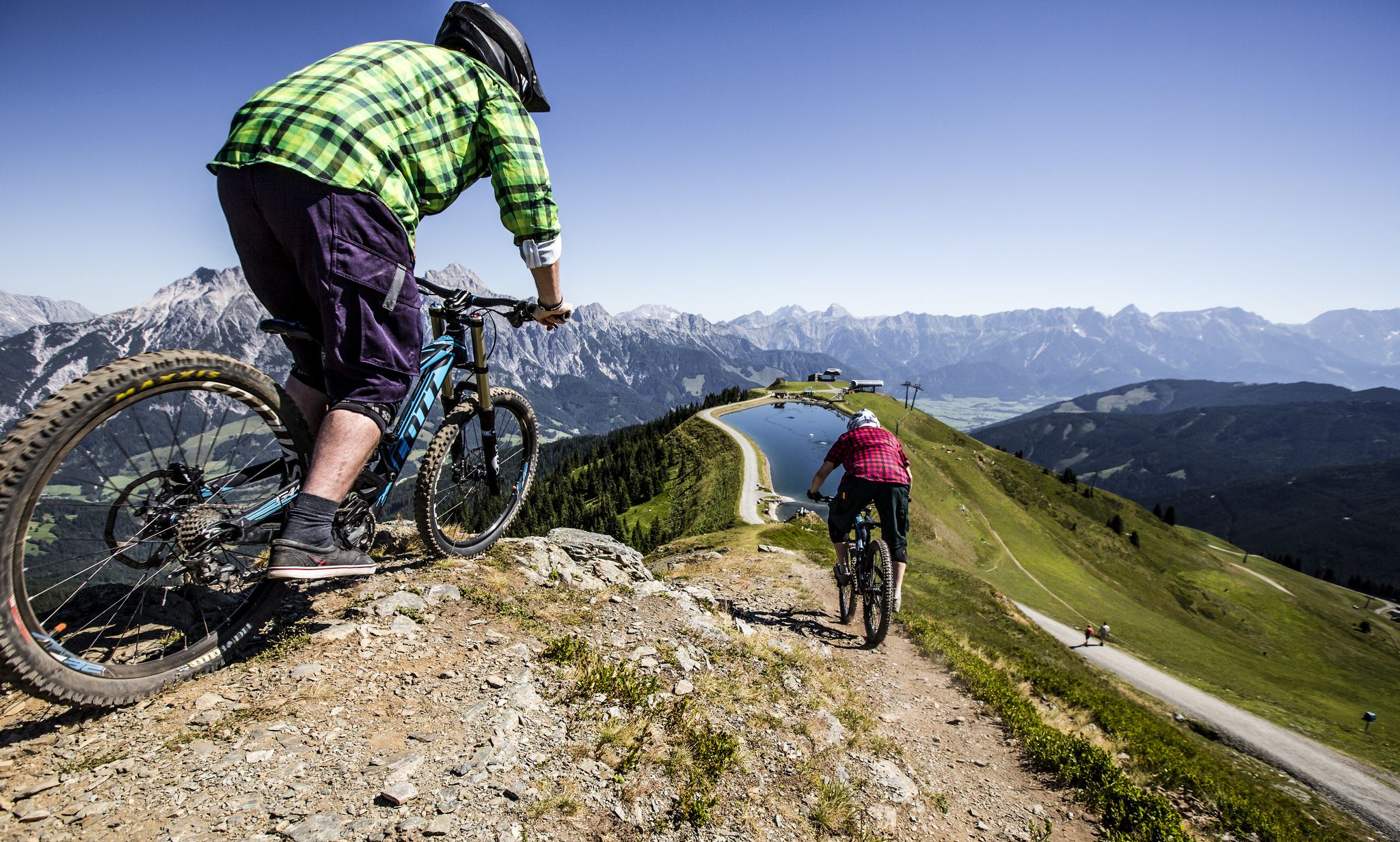
Bike parks in the Alps
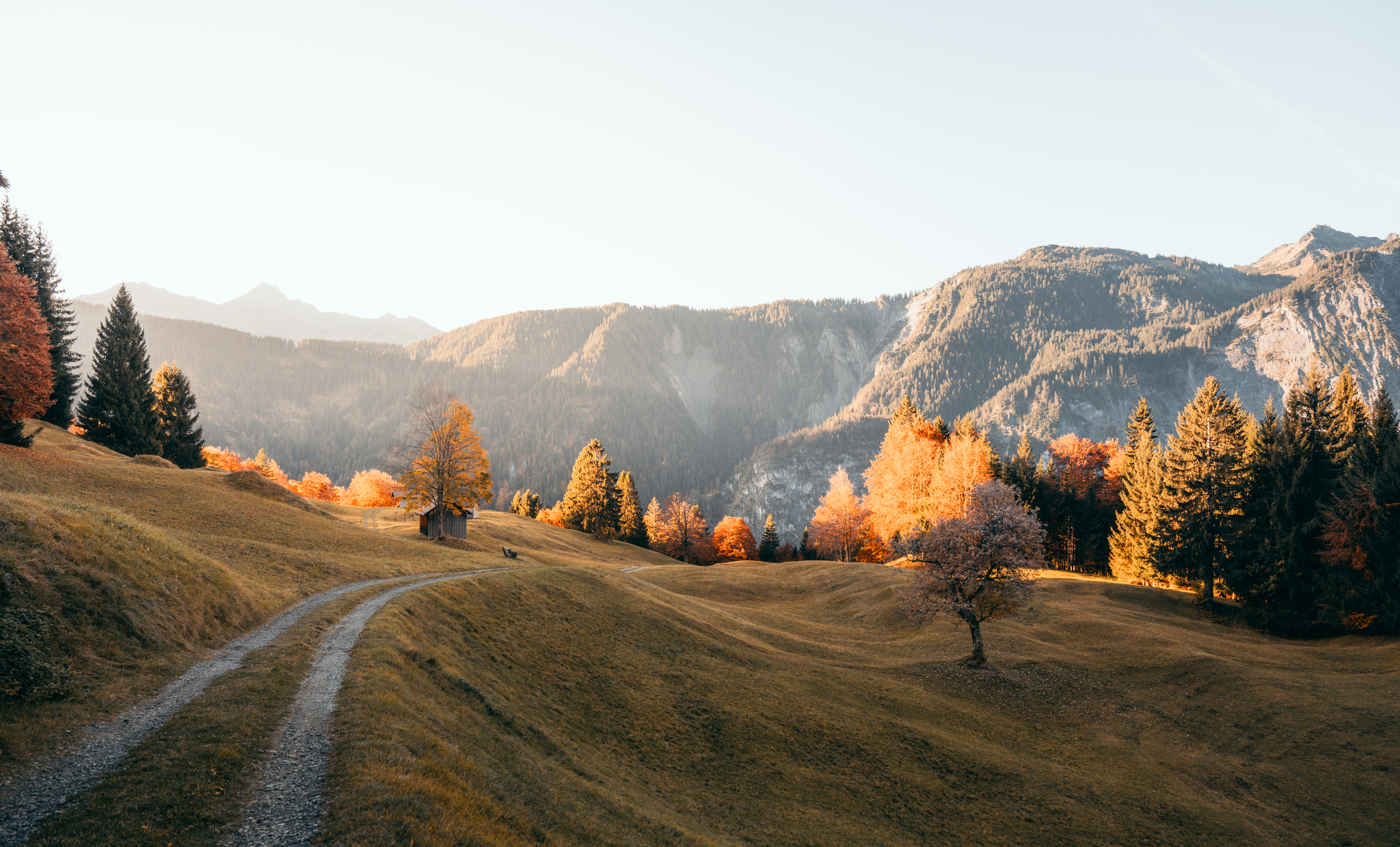
Leicht durch den Herbst - Wandern rund um Bludenz
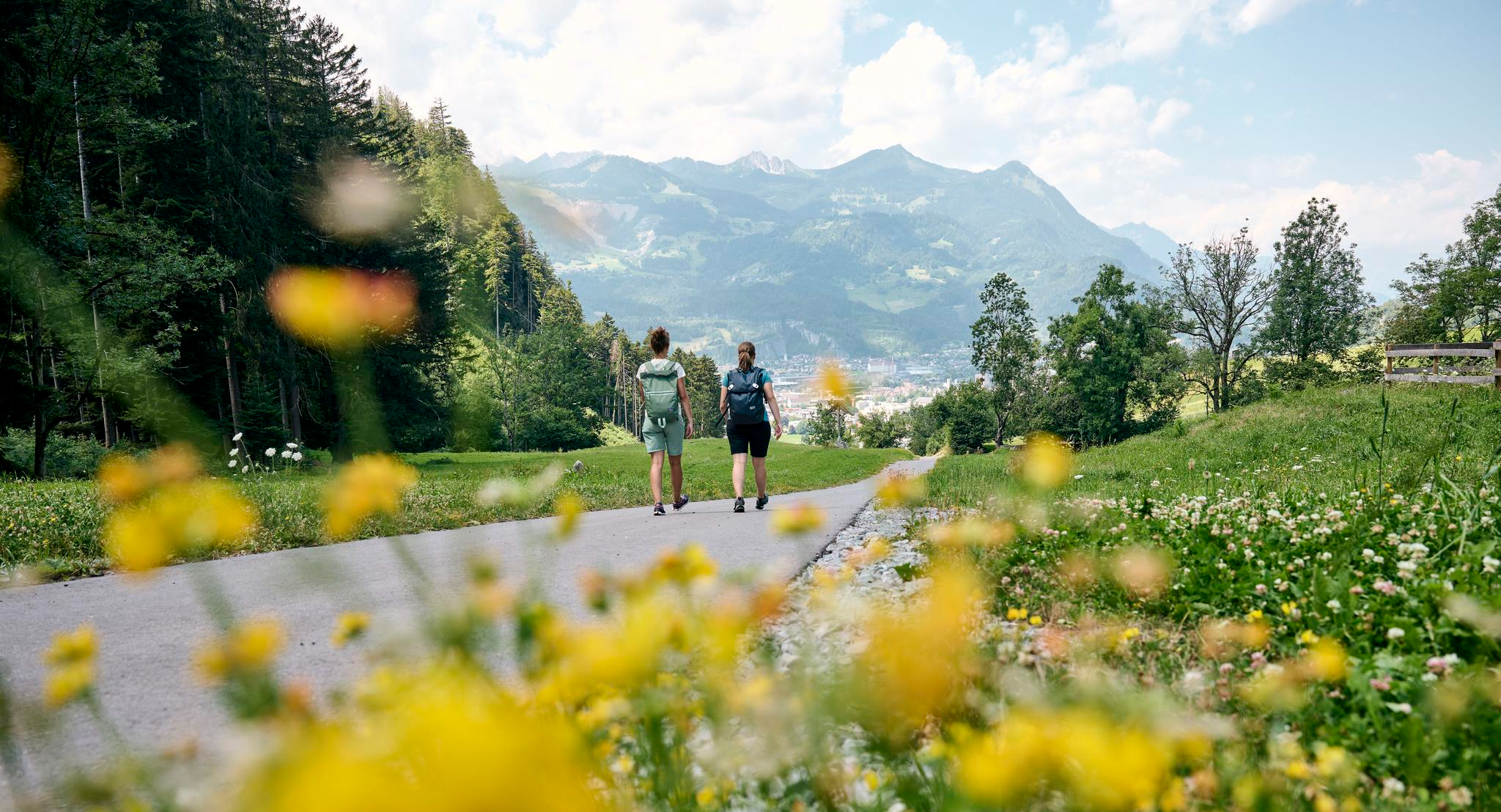
Frühling zwischen Tal und Höhe – Die schönsten Touren ab Bludenz
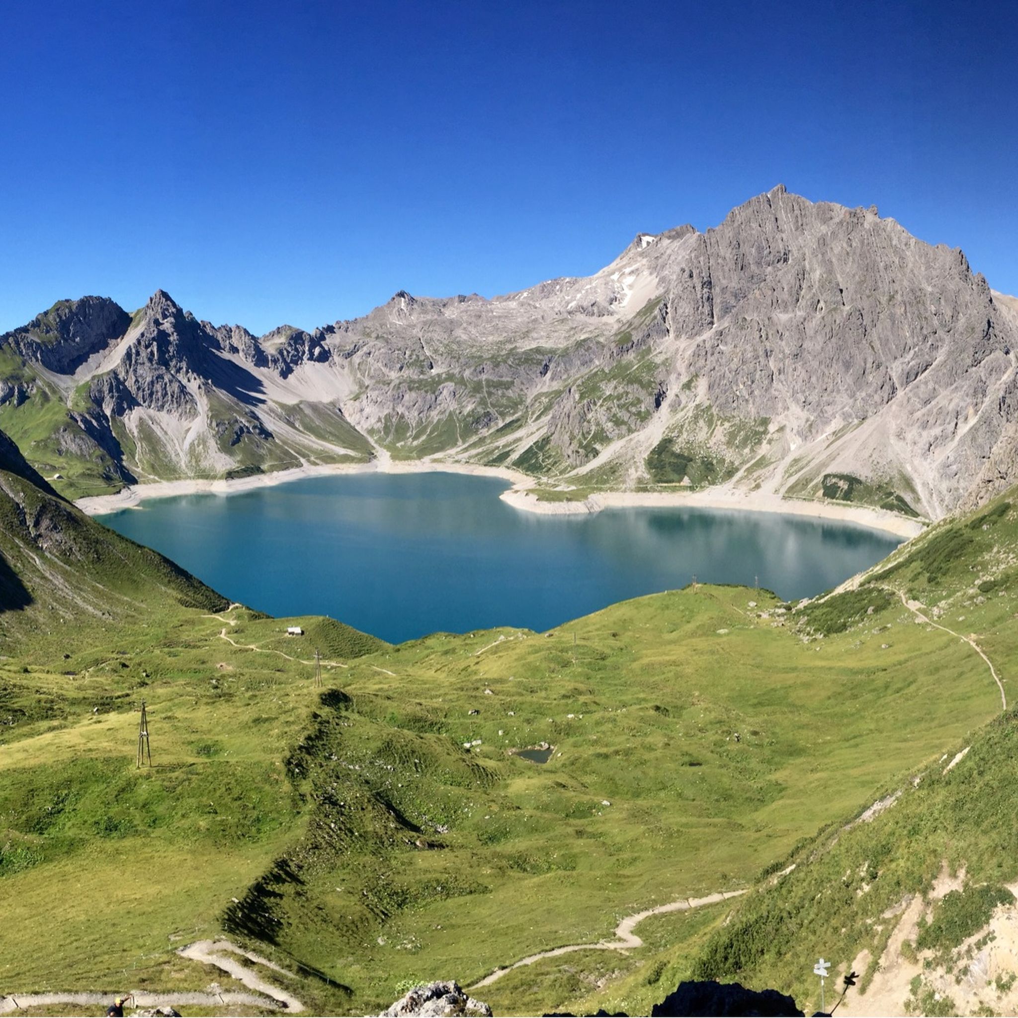
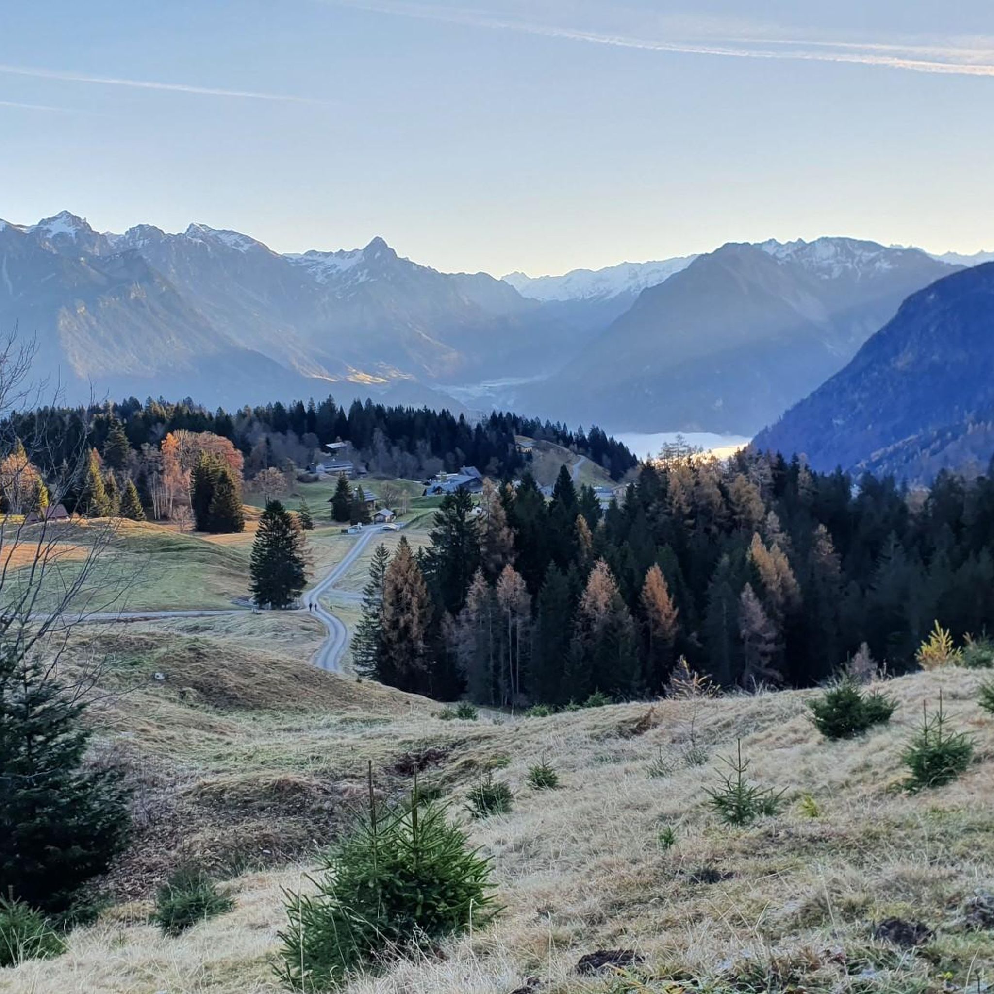
ビュルサーベルクでのハイキング
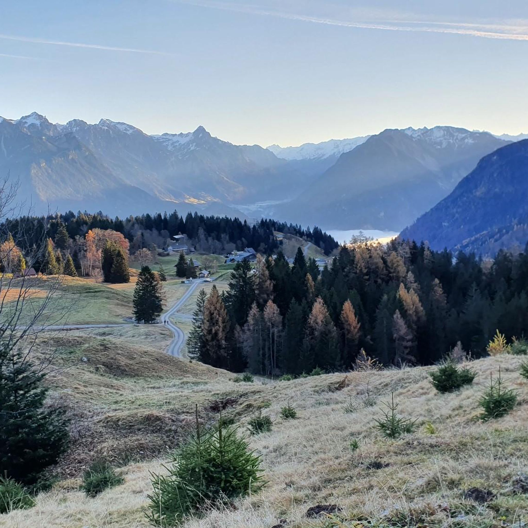
ビュルサーベルクでのサイクリング
ビュルサーベルクのロードバイクルート
ビュルサーベルクでのの他の冒険


コミュニティからのヒント


ここには多くのバイクトレーニングの機会があります。エアバッグ付きのドロップジャンプなど。
0
0

The T4 trail to Schillerkopf, coming from the Tschengla parking lot P3, is relatively easy to manage. There are only a few places where you need to use your hands, the trail is always clearly visible, and only a few sections are exposed.
0
0


If you know where to turn for the final hiking loop, just walk a little to the right up the slope/meadow, and you'll see a timid trail leading to the destination. The turnoff isn't actually visible from the trail. I wouldn't recommend taking the small path back, but rather following the counterclockwise route as indicated. Beautiful views!
0
0

The Neolithic stone circles on the Tschengla plateau are considered part of a huge calendar complex dating from 5000 to 1900 BC. The orientation of the stone circles shows parallels to other prehistoric structures in Europe.
9
0

komootモバイルアプリでインスピレーションを得よう


さらに探索
他の地域の最高の登山ハイキング & ルートを見てみましょう。
