ビュルサーベルクの峠・トップ20
風景を楽しんだり、上りや下りを満喫したり、峠には楽しみ方がたくさんあります。ビュルサーベルクの素晴らしい峠の一覧を参照して、思い出に残るアドベンチャーに出かけましょう。コミュニティのメンバーがコミュニティのために投稿した峠のハイライトは、他のユーザーが実際におすすめする情報なので、どれも信頼できるものです。気に入った峠にさっそく向かってみましょう。
最終更新日: 8月 20, 2026
ティーフェンゼー峠
ハイライト • 山道
翻訳者 Google •
役立つ情報 は

クラムパラゼッレ
ハイライト • 山道
翻訳者 Google •
役立つ情報 は

今すぐサインアップして、こんな場所を発見しよう
最高のシングルトラック、ピーク、その他のエキサイティングなアウトドアスポットのおすすめを受け取ろう。
無料新規登録
ガムスルッゲン 2,380 m
ハイライト • 山道
翻訳者 Google •
役立つ情報 は

シュヴァイツァー・トーア
ハイライト • 山道
翻訳者 Google •
役立つ情報 は


無料アカウントで今日から始めよう
次の冒険が待っています。
ログインまたは登録
ビュルサーベルク周辺で人気
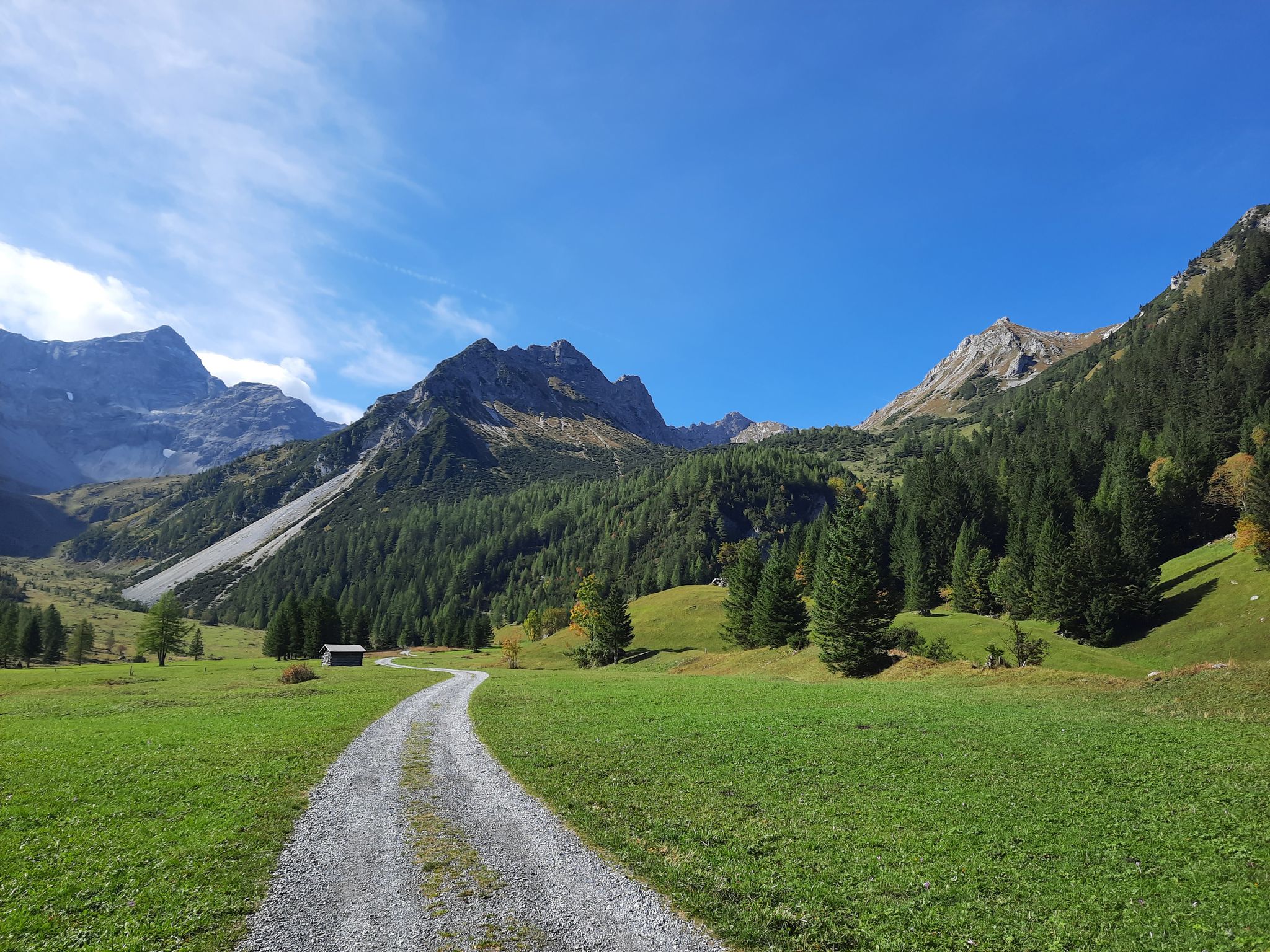
Autumn magic in Brandnertal – 6 hikes for the golden season
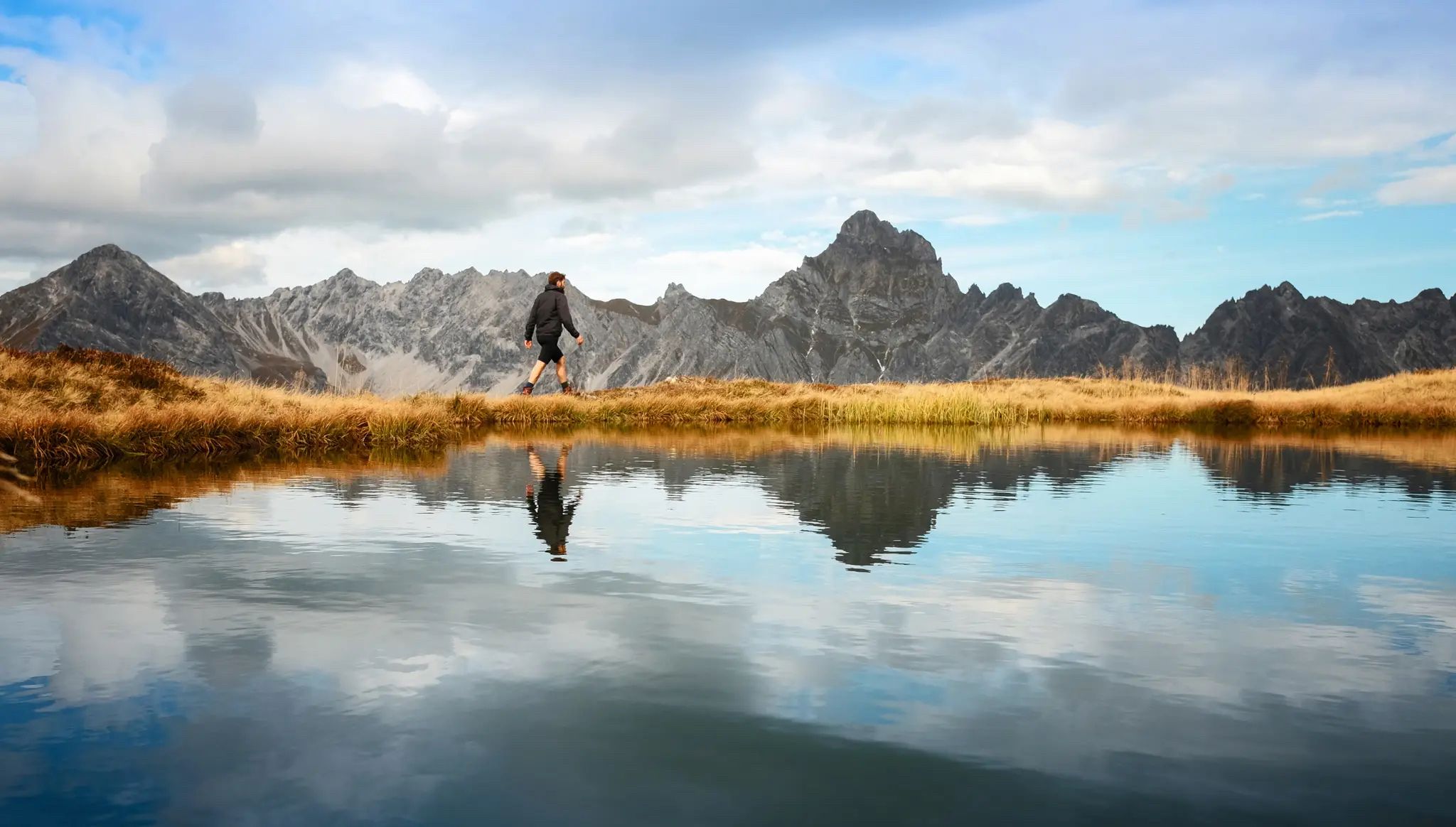
Golden season – autumn hikes in Vorarlberg
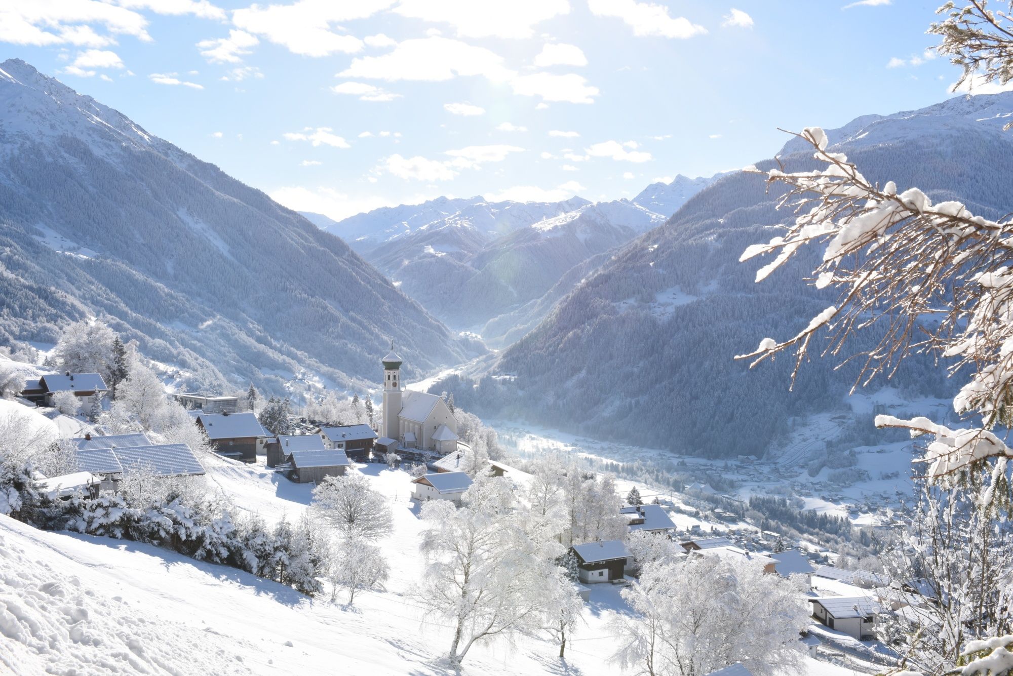
Tobogganing, ice bathing and hiking – winter away from the slopes
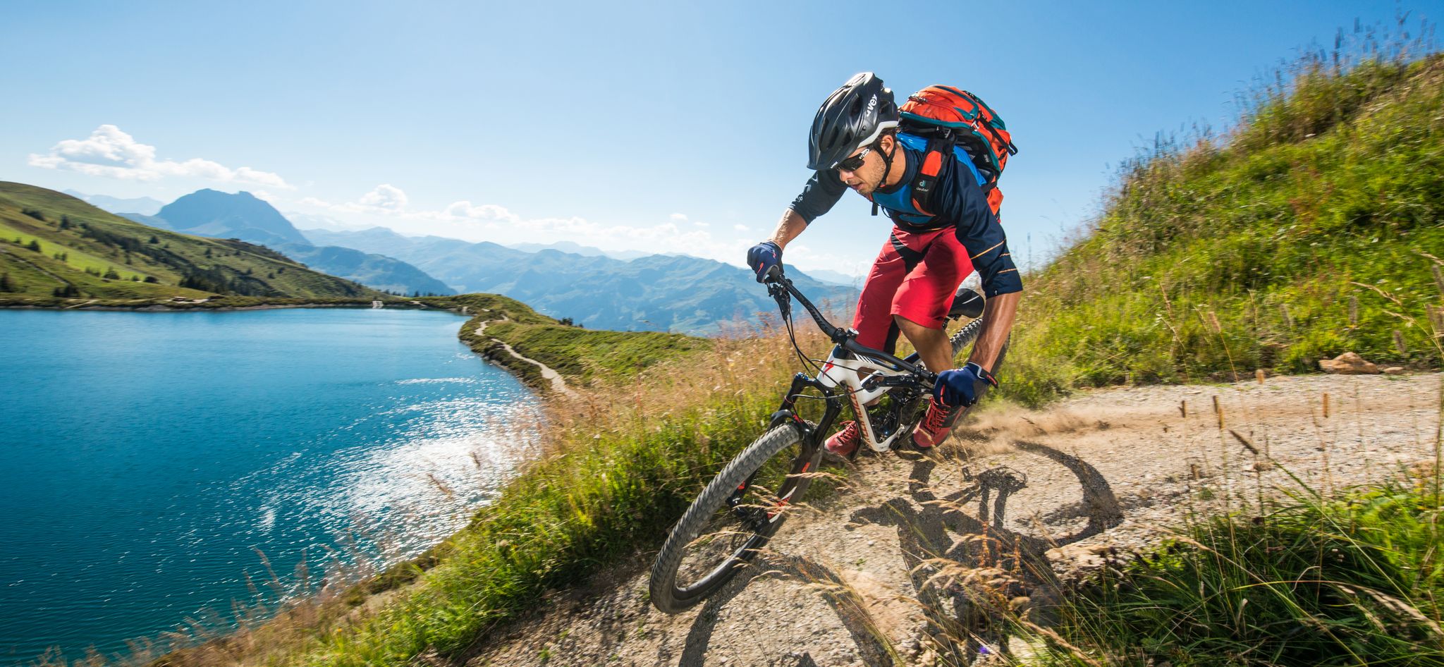
6 Top Bike Experiences in Austria
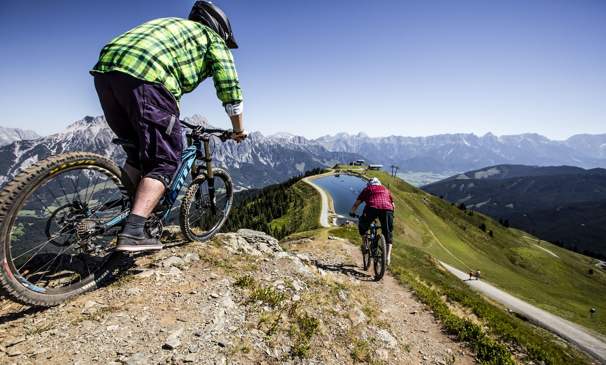
Bike parks in the Alps
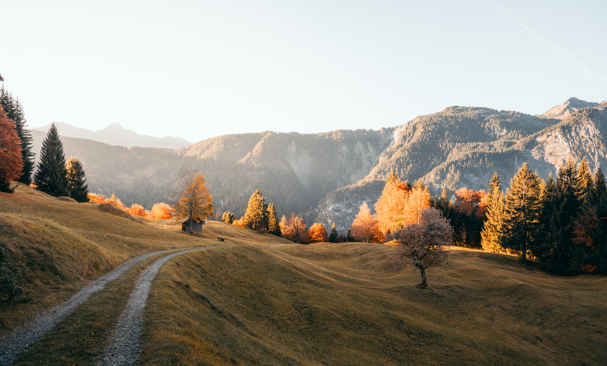
Leicht durch den Herbst - Wandern rund um Bludenz
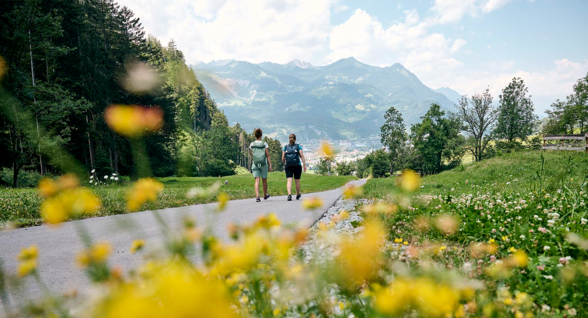
Frühling zwischen Tal und Höhe – Die schönsten Touren ab Bludenz
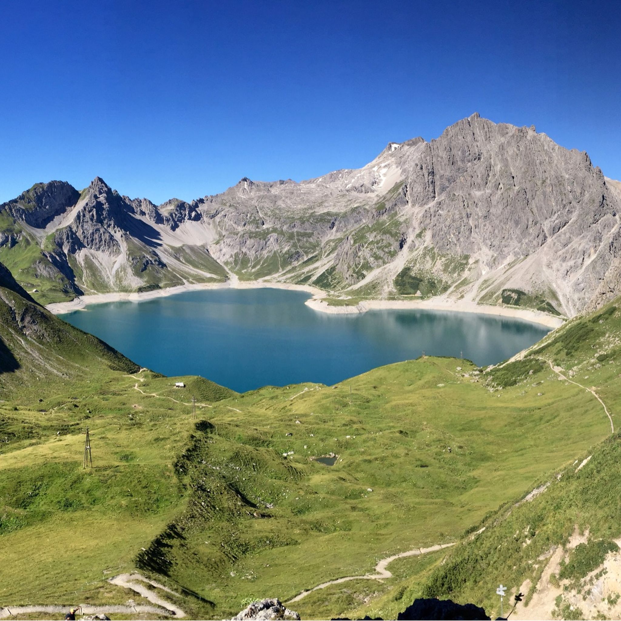
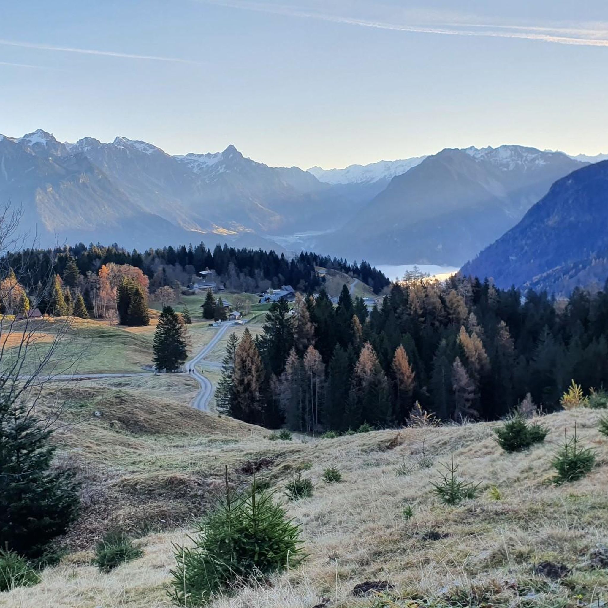
ビュルサーベルクでのハイキング
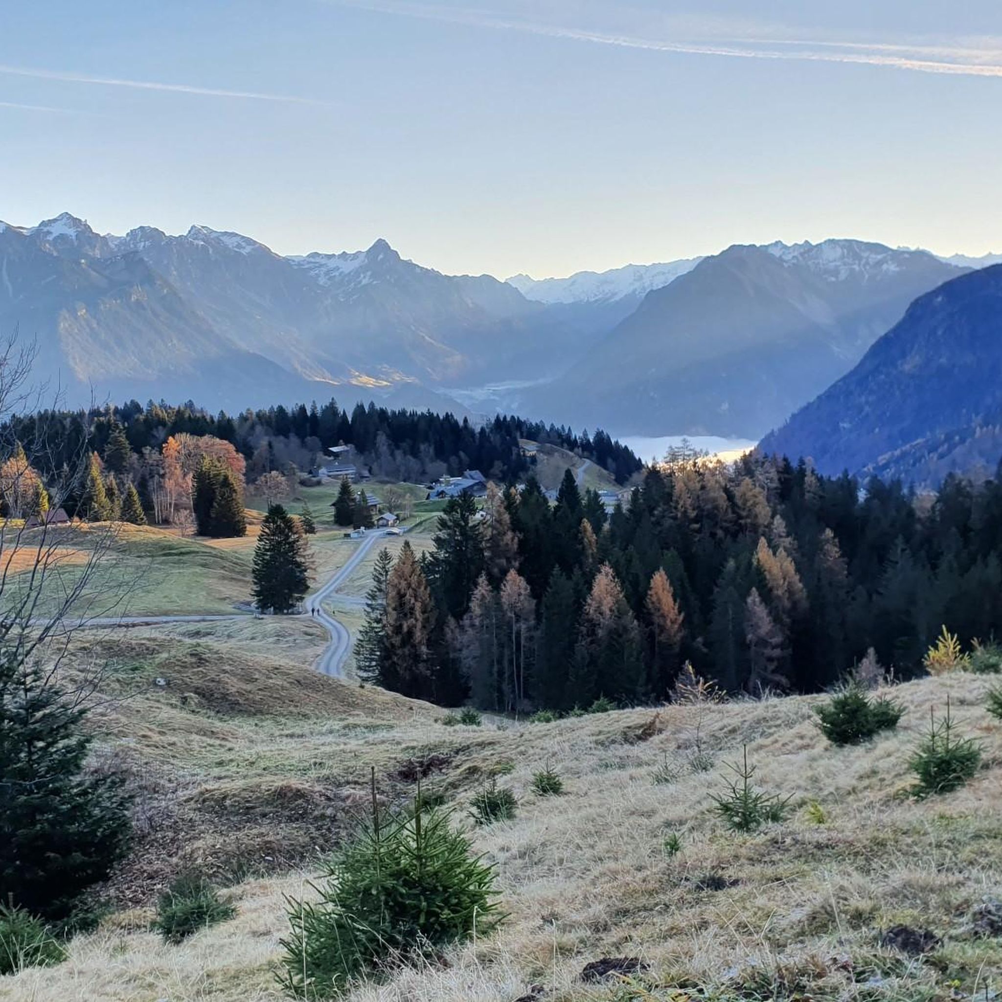
ビュルサーベルクでのサイクリング
ビュルサーベルクのロードバイクルート
ビュルサーベルクでのの他の冒険


コミュニティからのヒント

Transition from the Walgau to the large Walsertal valley. Waypoint between Hoher Fraßen (Rapenschrofenweg) to the west, Breithorn and Els Alpe to the east.
0
0


This is also a great place to take a break in summer 🥰
2
0

From here you can walk to the top of the moon (45 min.)
0
1
As others have written, only attempt it if you are in good shape, have a head for heights and are sure-footed. The Swiss side is much more demanding, so if possible it is better to ascend rather than descend. The climb on the Austrian side is very easy. For the view you could also go up from the Totalp and turn back again.
8
0

The path is very demanding. This is definitely not a route for people with a fear of heights. A head for heights and surefootedness are a must.
6
0

Coming from the Gafalljoch, the entrance to the Swiss Gate is difficult to find. Once you have found your way through the scree field, you will have to use your hands to help you. The classification as a medium difficulty path (white-red-white) is borderline.
3
1
Beautiful view. However, I was charged €59 for mobile data. This is an unacceptable disgrace. So be careful when you cross the Swiss border. RIP-OFF!!!!!!!!🤬🤬🤬🤬
3
4

komootモバイルアプリでインスピレーションを得よう


さらに探索
これらのガイドでさらに壮大な山道を見てみましょうビュルサーベルクでの:
