ブロンのおすすめ登山&山歩きルート
4.8
(214)
1,391
ハイカー
84
ハイキング
モンタフォンの山々をもっと探索しませんか?このガイドでご紹介するのは、komootがブロンでの登山&山歩きのコレクション全体を評価して選び抜いた、このエリアの人気ルートです。あなたに合ったルートを見つけるには、他のユーザーがアップロードした役立つ情報や写真を閲覧し、クリック操作で簡単に表示できる詳細なデータを参考にしましょう。ブロンでの次の冒険にぴったりの登山&山歩きルートが見つかるはずです。
最終更新日: 10月 10, 2026
4.9
(11)
62
ハイカー
11.5km
04:45
590m
590m
中程度の登山ルート. ある程度のフィットネスレベルが必要です。 全般的に進みやすいルートです。安定して歩行できる技術が必要です。
5.0
(11)
59
ハイカー
10.2km
04:04
450m
450m
中程度の登山ルート. ある程度のフィットネスレベルが必要です。 全般的に進みやすいルートです。安定して歩行できる技術が必要です。

5.0
(4)
20
ハイカー
15.7km
05:45
560m
560m
難しい登山ルート. 標準以上のフィットネスレベルが必要です。 全般的に進みやすいルートです。安定して歩行できる技術が必要です。
4.5
(2)
17
ハイカー
10.3km
05:21
960m
960m
難しい登山ルート. 標準以上のフィットネスレベルが必要です。 全般的に進みやすいルートです。安定して歩行できる技術が必要です。
5.0
(1)
7
ハイカー
6.89km
02:51
340m
340m
中程度の登山ルート. ある程度のフィットネスレベルが必要です。 全般的に進みやすいルートです。安定して歩行できる技術が必要です。
さらに多くのルートや他のユーザーのおすすめ情報を確認できます。
すでにアカウントをお持ちですか?
おすすめのツアーは他のkomootユーザーが実際に経験した何千ものアクティビティに基づいています。
無料アカウントで今日から始めよう
次の冒険が待っています。

コミュニティからのヒント


聖ニコラウスと聖テオドゥル教区教会は、その基本的な部分は15世紀に遡り、前室とギャラリーへの入り口からなる最後の増築は1950年代に行われました。鐘楼を支えるための鉄筋コンクリート構造もこの時代のもので、鐘楼を貫いています。 オルガンは1895年のものです。守護聖人である聖テオドゥルを選んだことは、4世紀にシッテン(ラテン語でTheodulus Sedunensis、アレマン語でSan(k)t Joder、グラウビュンデン・ロマンシュ語でSogn Gioder)で活躍したテオドゥルにちなんで、ヴァルザー族とスイスのヴァレー州とのつながりを今も示しています。テオドゥルはヴァレー州の、そして聖ニコラウスと共にヴァルザー族の守護聖人でもあります。
2
0


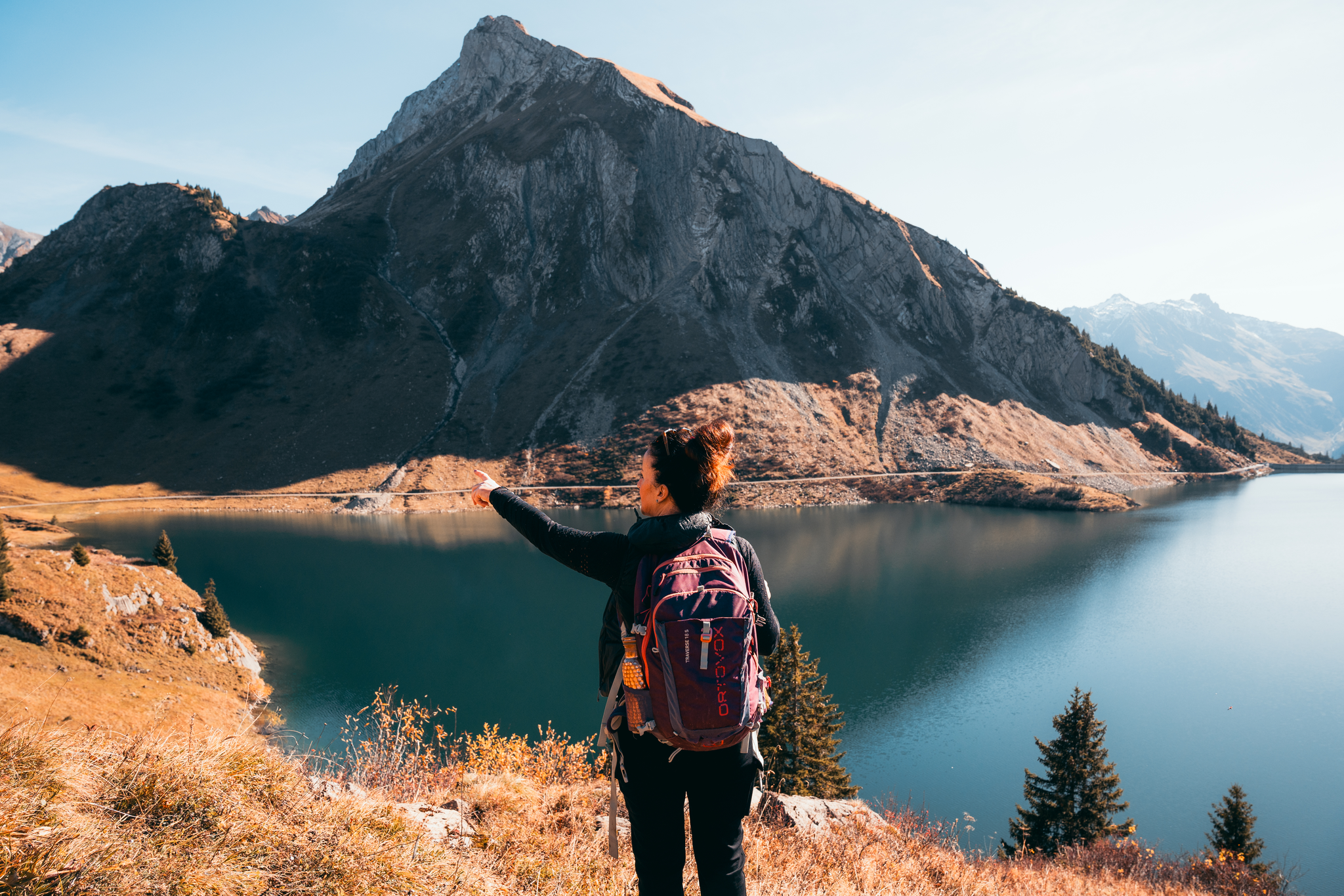
One of the eye-catchers in this area: the mountain range runs almost all around and despite the high location there are midsummer days suitable for swimming
0
0
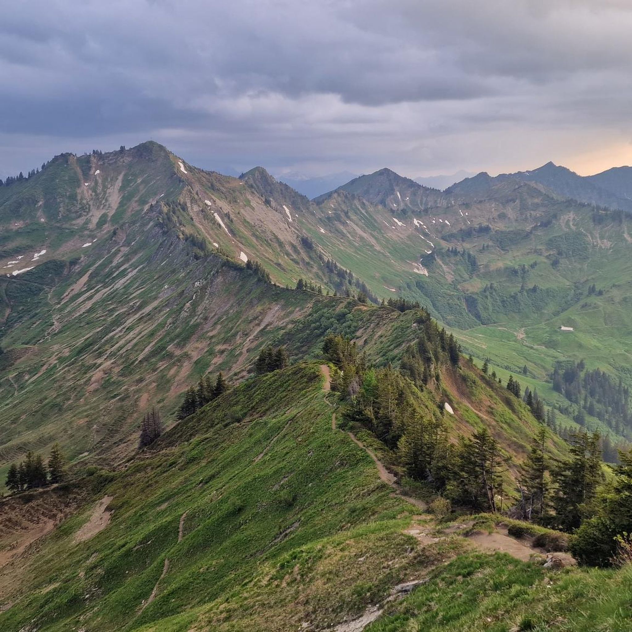
Theoretically, you can see several 4,000-meter peaks from here, but in practice, you feel surrounded by a magnificent mountain world, a mix of rocky giants and green valleys. I really liked the mountain!
0
0

And then it lies down there like a forgotten eye of the landscape: Lake Süns. Dark and round, framed by undulating meadows where summer dwells. No noise, no boats, no paths that claim to lead to the shore. The lake simply looks back – as if you yourself were the stranger in a story that has been told here for much longer. Whoever reaches the pass stands on a line between worlds. Behind you is the lake, in front of you the path to the peak – and to the side, the view stretches far down, where the Rhine Valley disappears. On a clear day, some say you can see Lake Constance. I think you see yourself above all – smaller, but also lighter than you thought. It's not the grand gestures that characterize this hike. It's the way the light clings to the slopes, the way the wind accompanies the path, the way the trail doesn't lead you but invites you. And anyone standing up there—between the Ragazer Grat, the Sünser Joch, and the dark blue of the small lake—may notice: The most beautiful places don't scream. They whisper.
1
0
Deeply embedded in the hilly, melancholy highlands lies Lake Sünser See, like a mystery no one can explain. No shore beckoning for a swim, no jetty that becomes a postcard – only this dark mirror, round like a point of thought. You look down, and the lake looks back. A silent understanding develops between man and landscape, hard to name, but easy to feel. All around, the green spreads out like a tired cloak, crisscrossed by paths that no one hurries along. Up here, silence becomes space, and space becomes something that seems almost sacred. Those who sit down stay longer than planned. And those who leave take something with them that needs no name.
5
0

Most visited ski touring summit in the Damüls area, well worth it. Various descent options with different levels of difficulty and exposure. Long powder fun on the north side.
1
0

komootモバイルアプリでインスピレーションを得よう


さらに探索
他の地域の最高の登山ハイキング & ルートを見てみましょう。
