ブルーデッシュのおすすめ登山&山歩きルート
4.8
(133)
1,118
ハイカー
62
ハイキング
モンタフォンの山々をもっと探索しませんか?このガイドでご紹介するのは、komootがブルーデッシュでの登山&山歩きのコレクション全体を評価して選び抜いた、このエリアの人気ルートです。あなたに合ったルートを見つけるには、他のユーザーがアップロードした役立つ情報や写真を閲覧し、クリック操作で簡単に表示できる詳細なデータを参考にしましょう。ブルーデッシュでの次の冒険にぴったりの登山&山歩きルートが見つかるはずです。
最終更新日: 10月 11, 2026
4.8
(14)
110
ハイカー
12.7km
06:16
930m
930m
難しい登山ルート. 標準以上のフィットネスレベルが必要です。 安定して歩行できる技術、丈夫な靴、高標高地での登山経験が必要です。
4.8
(12)
77
ハイカー
12.8km
05:45
830m
830m
難しい登山ルート. 標準以上のフィットネスレベルが必要です。 安定して歩行できる技術、丈夫な靴、高標高地での登山経験が必要です。

5.0
(4)
22
ハイカー
10.7km
04:43
740m
740m
難しい登山ルート. ある程度のフィットネスレベルが必要です。 安定して歩行できる技術、丈夫な靴、高標高地での登山経験が必要です。
5.0
(3)
18
ハイカー
9.02km
04:52
760m
760m
難しい登山ルート. ある程度のフィットネスレベルが必要です。 安定して歩行できる技術、丈夫な靴、高標高地での登山経験が必要です。
5.0
(2)
13
ハイカー
13.4km
07:00
1,260m
1,260m
難しい登山ルート. 標準以上のフィットネスレベルが必要です。 安定して歩行できる技術、丈夫な靴、高標高地での登山経験が必要です。
さらに多くのルートや他のユーザーのおすすめ情報を確認できます。
すでにアカウントをお持ちですか?
おすすめのツアーは他のkomootユーザーが実際に経験した何千ものアクティビティに基づいています。
無料アカウントで今日から始めよう
次の冒険が待っています。
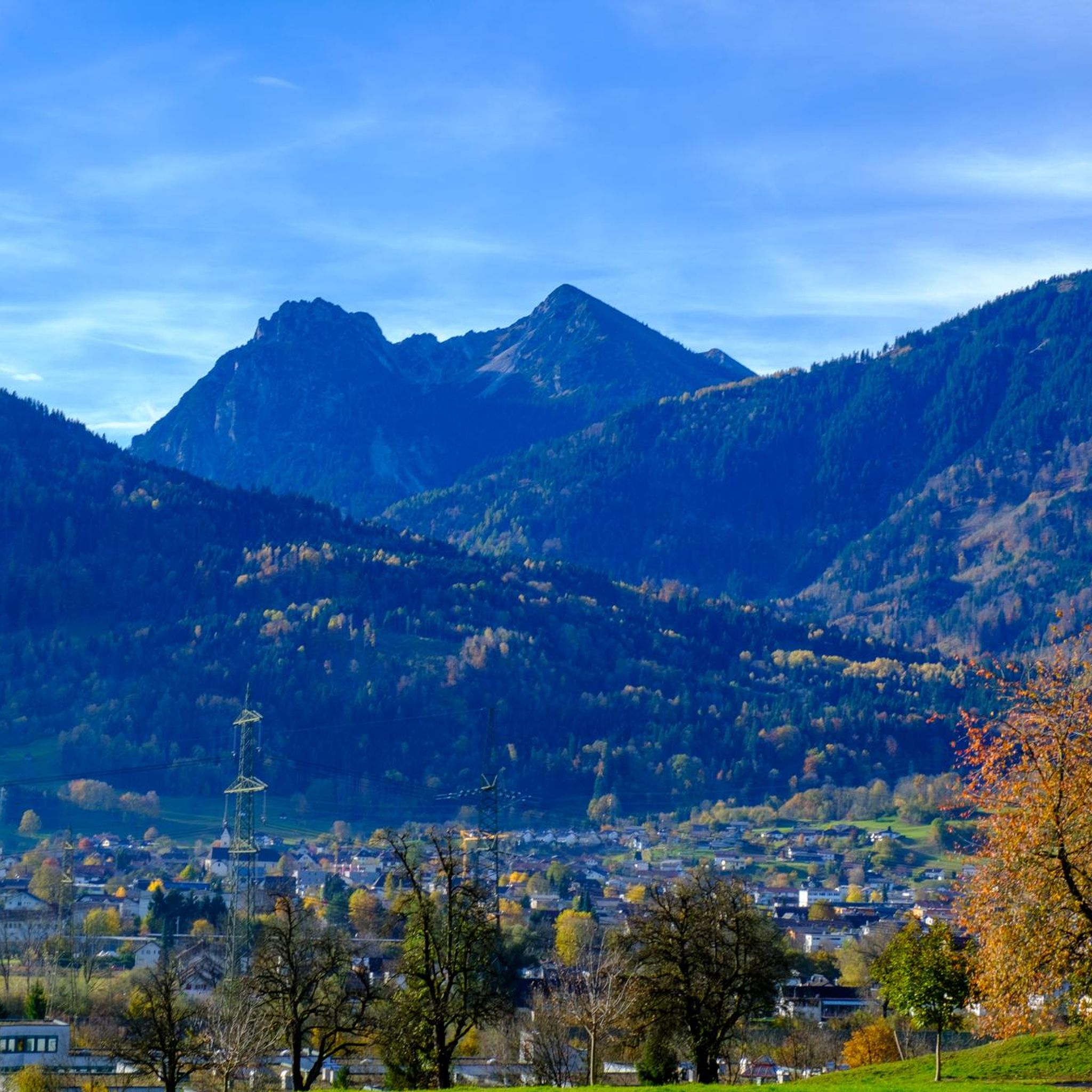
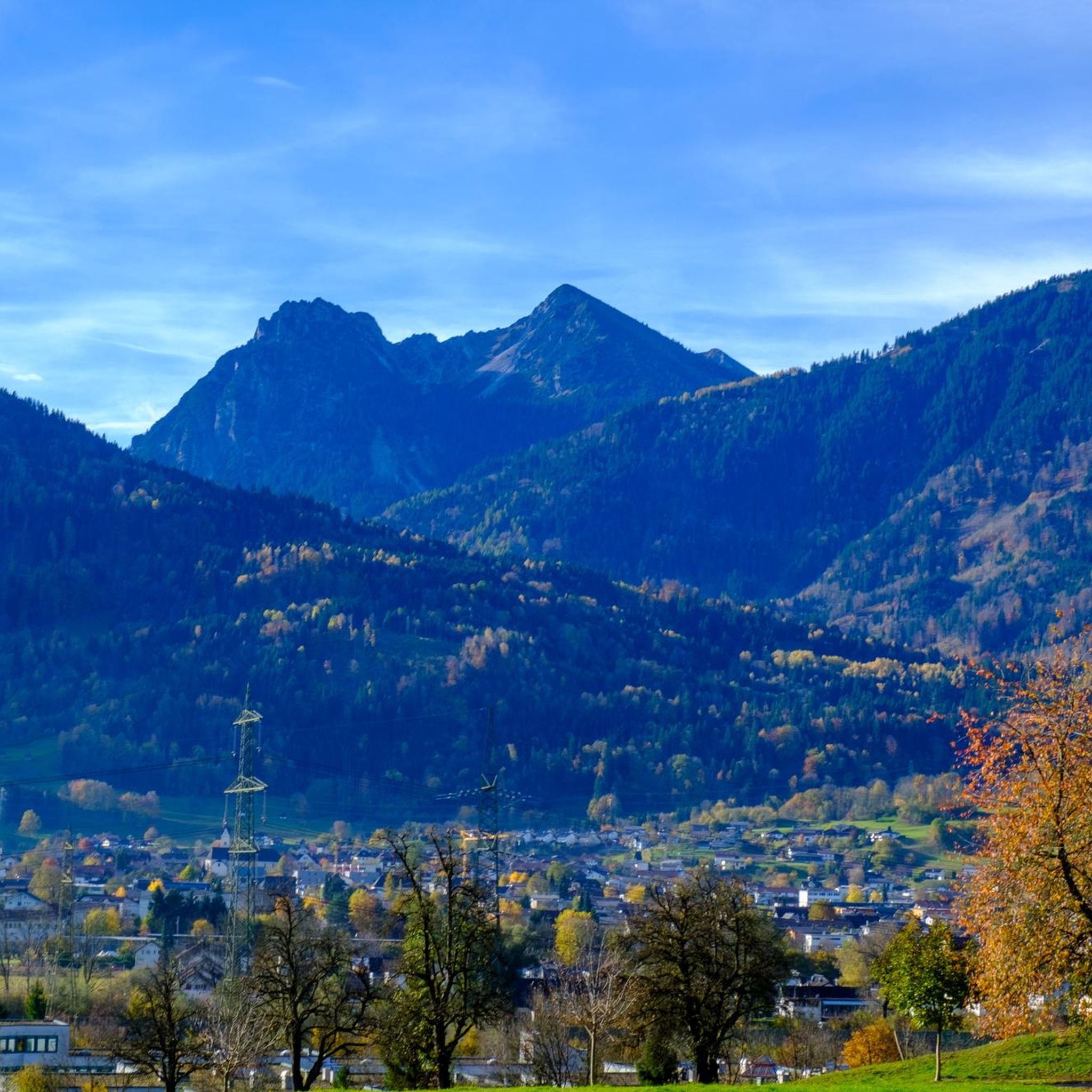
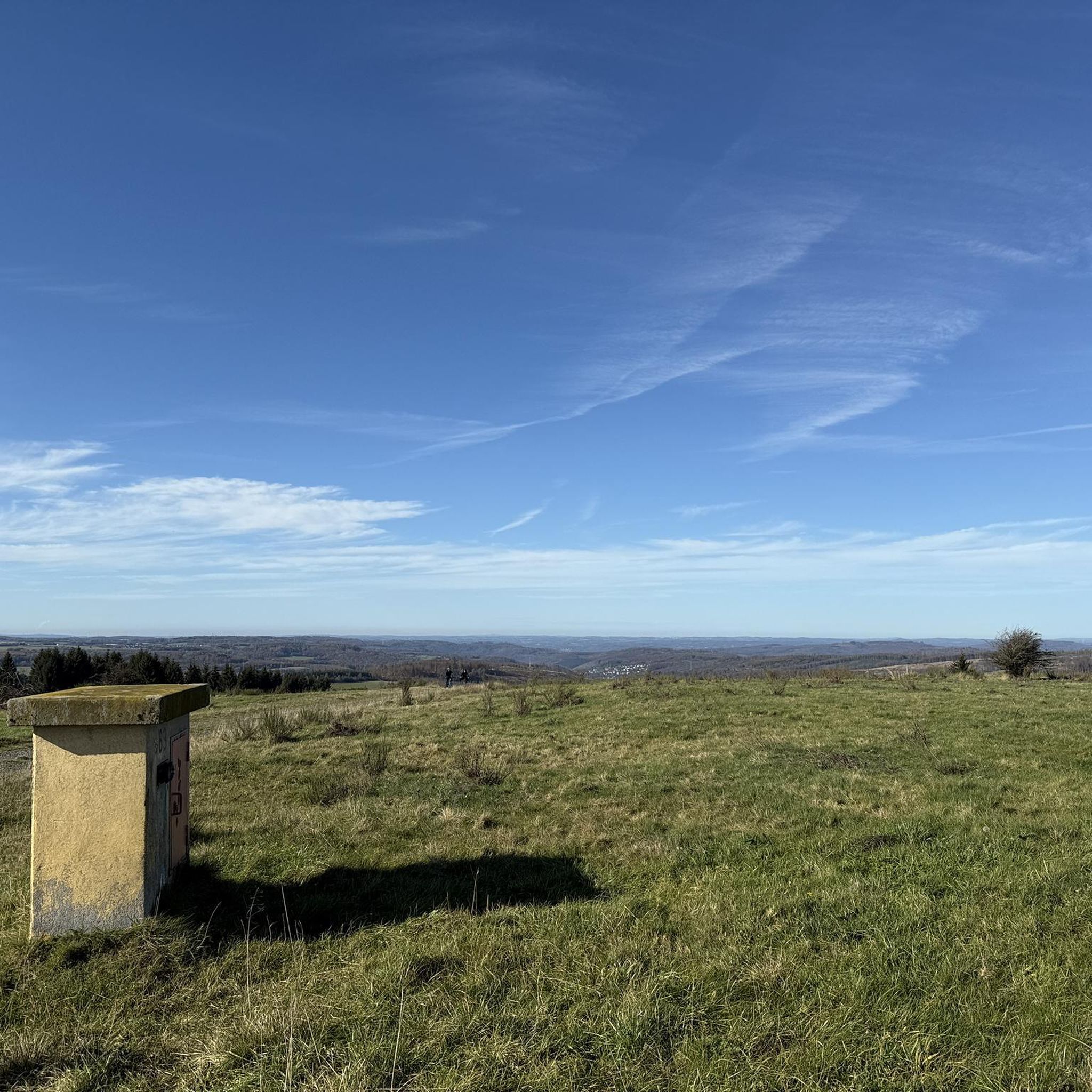
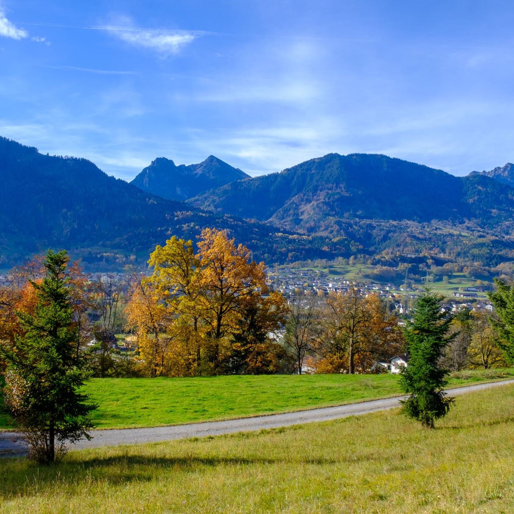

コミュニティからのヒント

ここには多くのバイクトレーニングの機会があります。エアバッグ付きのドロップジャンプなど。
0
0


The T4 trail to Schillerkopf, coming from the Tschengla parking lot P3, is relatively easy to manage. There are only a few places where you need to use your hands, the trail is always clearly visible, and only a few sections are exposed.
0
0

steep but quiet climb up to the Alpe
0
0


The Neolithic stone circles on the Tschengla plateau are considered part of a huge calendar complex dating from 5000 to 1900 BC. The orientation of the stone circles shows parallels to other prehistoric structures in Europe.
9
0
The Neolithic stone circles on the Tschengla plateau are considered part of a huge calendar complex dating from 5000 to 1900 BC. The orientation of the stone circles shows parallels to other prehistoric structures in Europe.
9
0

Unfortunately not open in winter. However, there are places to sit.
2
0

komootモバイルアプリでインスピレーションを得よう


さらに探索
他の地域の最高の登山ハイキング & ルートを見てみましょう。
