フィーランクのおすすめウォーキング&ハイキングルート
4.6
(1198)
3,697
ハイカー
17
ハイキング
フィーランク 周辺でおすすめのハイキングやウォーキングを楽しんでいただけるように、このエリアの小径やルートを集めたkomootコレクション全体を見直しました。 以下で各ルートの詳細をご覧になり、フィーランク周辺の大自然を満喫する際の参考にしてください。
最終更新日: 8月 22, 2026
4.0
(5)
32
ハイカー
7.44km
02:17
20m
20m
中程度のハイキング. ある程度のフィットネスレベルが必要です。 進みやすいルートです。あらゆるスキルレベルに適しています。
4.0
(5)
32
ハイカー
中程度のハイキング. ある程度のフィットネスレベルが必要です。 進みやすいルートです。あらゆるスキルレベルに適しています。

無料新規登録
4.0
(5)
32
ハイカー
8.55km
02:11
30m
30m
中程度のハイキング. ある程度のフィットネスレベルが必要です。 進みやすいルートです。あらゆるスキルレベルに適しています。
5.0
(3)
7
ハイカー
4.79km
01:13
20m
20m
初級者向けハイキング. あらゆるフィットネスレベルに適しています。 進みやすいルートです。あらゆるスキルレベルに適しています。
4.3
(3)
7
ハイカー
4.89km
01:15
20m
20m
初級者向けハイキング. あらゆるフィットネスレベルに適しています。 進みやすいルートです。あらゆるスキルレベルに適しています。
さらに多くのルートや他のユーザーのおすすめ情報を確認できます。
無料新規登録
すでにアカウントをお持ちですか?
おすすめのツアーは他のkomootユーザーが実際に経験した何千ものアクティビティに基づいています。


コミュニティからのヒント

The old fieldstone church was built around 1256 and served as a place of worship for the surrounding villages of the Alt Jabel community until a new one was built in 1908. The attic and a wooden bell tower were demolished, and the church remains were left to their own devices. The church ruins have now been restored and secured.
2
0

A fascinating place that is worth exploring. There are also a few benches here that invite you to linger. Just sit down and think about your thoughts.
1
0

The ruins of the Michaeliskirche from 1256 with round arches were built from field stones. The church existed until around 1908, after which the wooden tower was demolished and the rest fell into disrepair. https://www.wikiwand.com/de/Alt_Jabel
1
0


In sight, to the west, you can see the only building, the "Samendarre". The only forestry facility in Mecklenburg for the storage and processing of pine seeds.
1
0
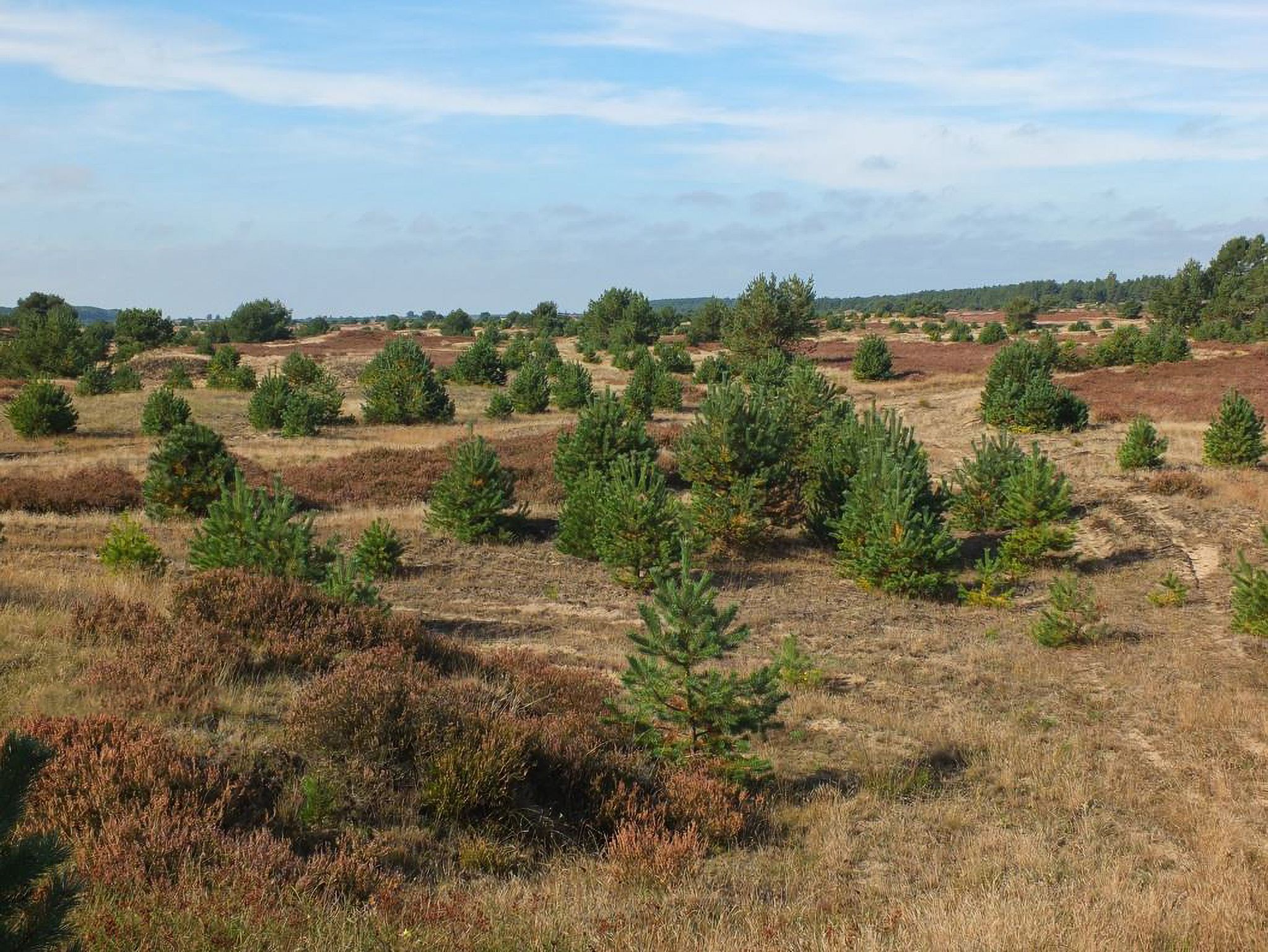
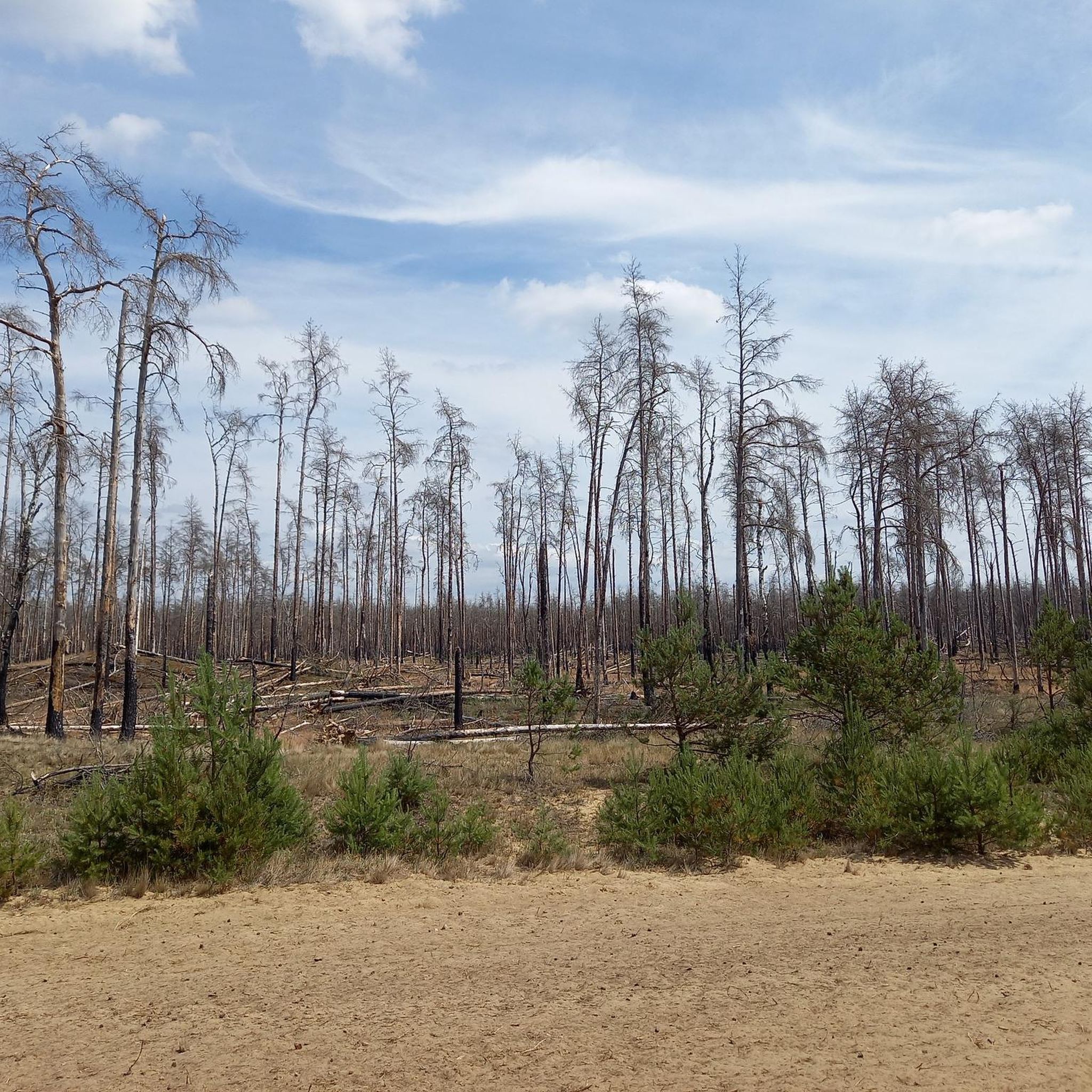
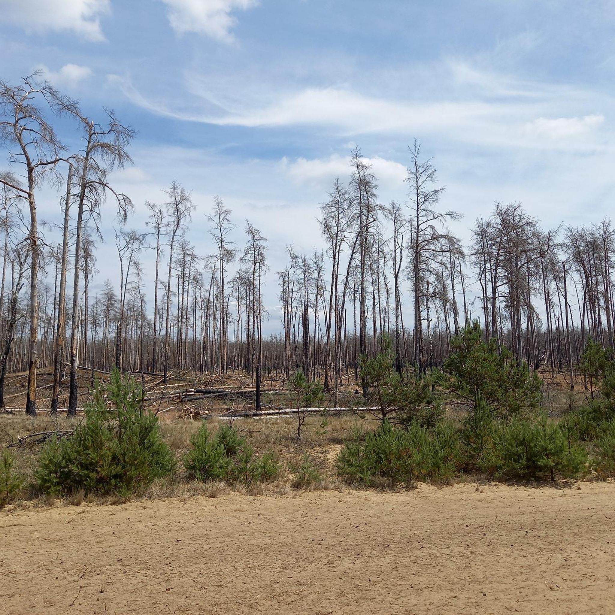
This is where the former village of Quast is located, now a deserted area in the Lübheener Heide / Jabeler Heide, with a memorial plaque, information about the history and places to take a break. ----------- Former Dorp Quast (hüüt desert) in de Lübenheener Heid / Jabeler Heid with memorial plaque, information about history, etc ... ----------- Väle Johrn would have you, now a werre up bicycle and tau faut up'n padd dör de LübheenerHeide can strump. Dat Rebeit is ok as stripes, stripes, shooting range, military training area and JabelerHeide künnig. All de Wäg (gravel, grit, sand, asphalt fragments) laaten sik fien fohrn and de body ümtau sünd nu werre dör de Heid henndör verbunn. (Lübbendorf, Ramm, Belsch, Quast (Wüstung), Laupin, Loosen, Kavelmoor, HohenWoos, AltJabel, Vielank, Volzrade, Jessenitz, Trebs and ProbstJesar. Etc ...) In't Johr 2019 is up duss flag de grote WaldbrandLübheen 🚒 wäst, can be up stunns still at all de swatten Bööm. Süst exists here, so as mostly in the GriesenGegend, ut väl Dannbööm🌲, Sand un Heide man - man klor, all the Gäl SandBargen (including Black Mountains) and inland dunes do not forget ... Dat giwt in de Heid bannig väl KrüzWäg un Twälen (fork) and dor süll'n de Wieser (signs) help the right Padd tau finn. Man de Wieser didn’t show the right padd, but you’re able to bitter. One war all for miehr as 150 Johrn us Fritz Reuter schräben: “… As ick achter de Möhl kamm, kamm ick in de Heid'ne desolate area! Sand an Dannenbusch an Heid'krut ... so again that Oog stretches! Weg´gungen bi Weg´, yeah, äwer wecker Weg what de right? " (F.Reuter to KalißerHeid, South WestMecklenb.)
1
0

The old stone church was built about 1256 and served until the construction of a new church in 1908 as a church for the surrounding villages of Alt Jabel. The attic and a wooden belfry were demolished leaving the remains of the church to the time. Meanwhile, the church ruin has been restored and secured.
2
0
フィーランクでのの人気観光スポット

komootモバイルアプリでインスピレーションを得よう


さらに探索
他の地域の最高のハイキングを見てみましょう。
