リューベッセのおすすめウォーキング&ハイキングルート
4.6
(2116)
9,892
ハイカー
281
ハイキング
リューベッセ 周辺でおすすめのハイキングやウォーキングを楽しんでいただけるように、このエリアの小径やルートを集めたkomootコレクション全体を見直しました。 以下で各ルートの詳細をご覧になり、リューベッセ周辺の大自然を満喫する際の参考にしてください。
最終更新日: 9月 14, 2026
4.8
(39)
110
ハイカー
12.8km
03:14
10m
10m
中程度のハイキング. ある程度のフィットネスレベルが必要です。 進みやすいルートです。あらゆるスキルレベルに適しています。
4.7
(6)
27
ハイカー
18.8km
04:44
20m
20m
中程度のハイキング. ある程度のフィットネスレベルが必要です。 進みやすいルートです。あらゆるスキルレベルに適しています。

4.8
(4)
31
ハイカー
9.10km
02:18
10m
10m
中程度のハイキング. ある程度のフィットネスレベルが必要です。 進みやすいルートです。あらゆるスキルレベルに適しています。
4.0
(5)
19
ハイカー
8.11km
02:02
10m
10m
中程度のハイキング. ある程度のフィットネスレベルが必要です。 進みやすいルートです。あらゆるスキルレベルに適しています。
4.8
(5)
24
ハイカー
中程度のハイキング. ある程度のフィットネスレベルが必要です。 進みやすいルートです。あらゆるスキルレベルに適しています。
さらに多くのルートや他のユーザーのおすすめ情報を確認できます。
すでにアカウントをお持ちですか?
おすすめのツアーは他のkomootユーザーが実際に経験した何千ものアクティビティに基づいています。
無料アカウントで今日から始めよう
次の冒険が待っています。

コミュニティからのヒント

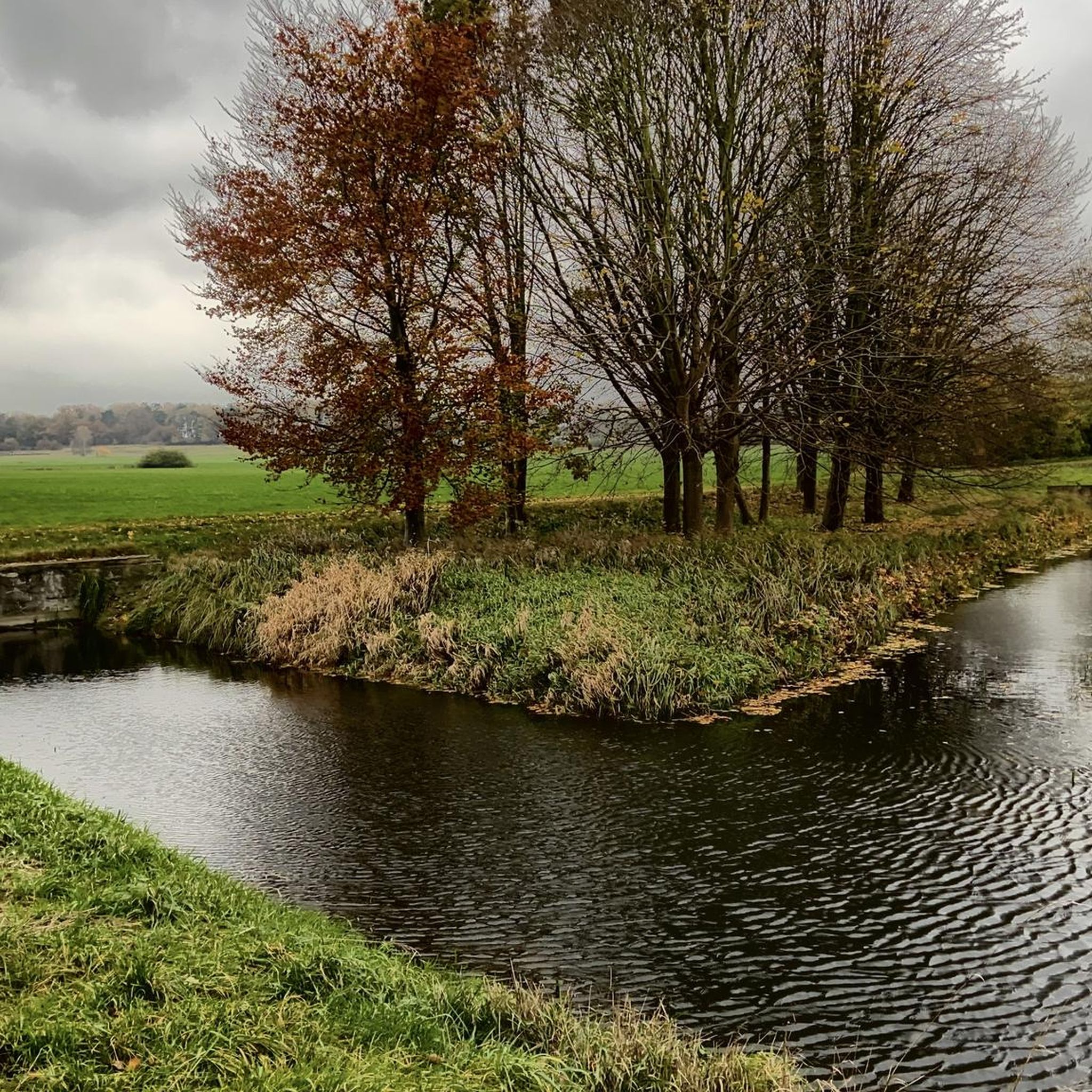
シュトーア運河沿いにはこの橋があり、そこからは運河の素晴らしい眺めが楽しめます。 橋のすぐ前には休憩用のベンチとテーブルがあります。
0
0

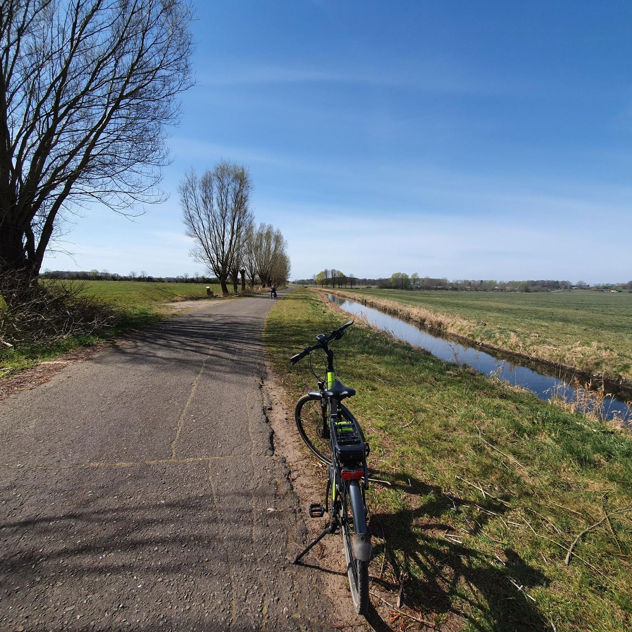
Bumpy cycling and quite enjoyable, if a bit monotonous for me. Since this HL has been posted a dozen times, I'm not giving it a thumbs up.
0
0
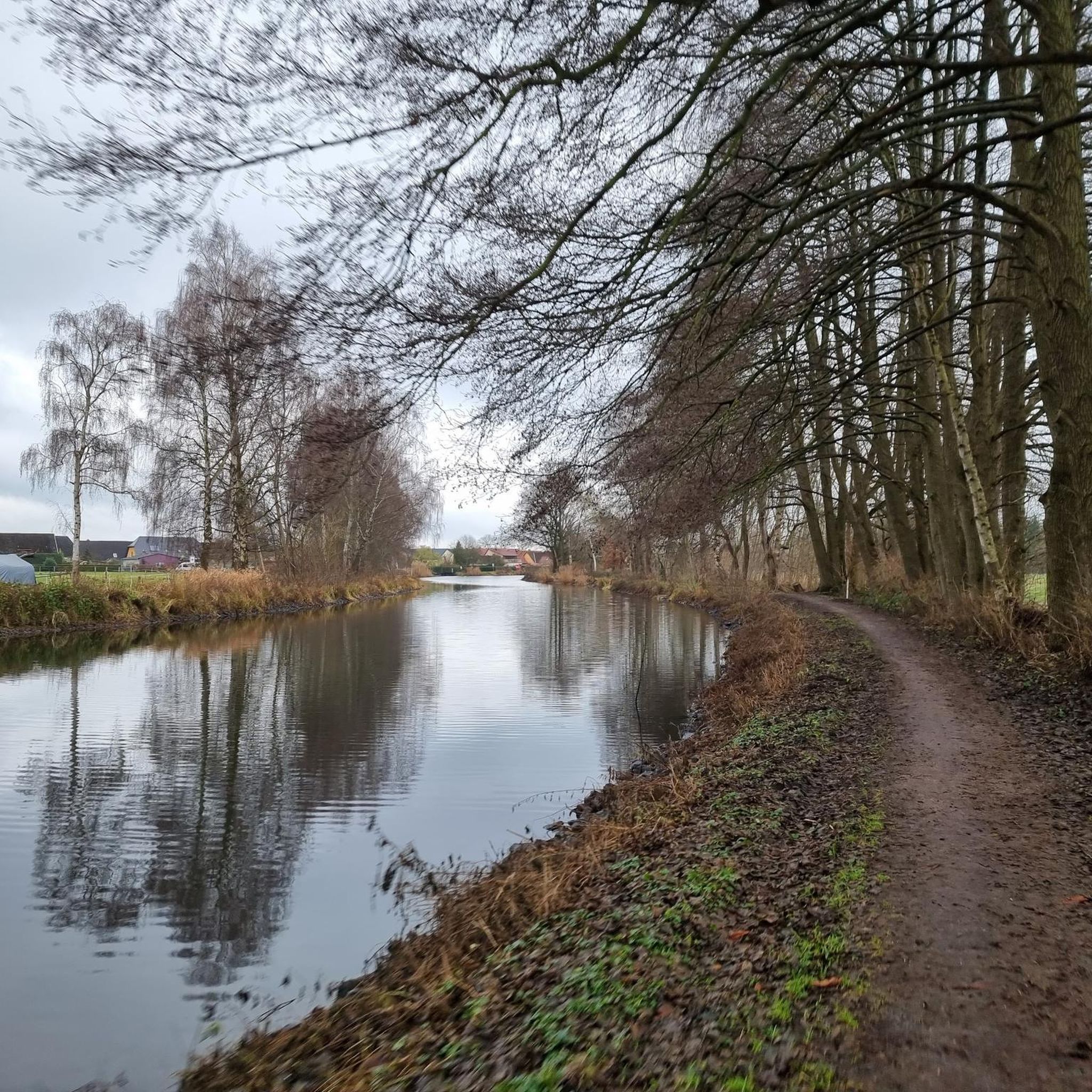
As is typical on canals, you drive straight ahead without much variation. The path was bumpy in places, then rolled along as if by itself – totally different sections. The bushes weren't trimmed at the time and in some places they were so in the way that you could only drive one behind the other. There are plenty of benches, and on the day we visited (a Saturday in July), it was extremely deserted. This section wasn't the big highlight for me, but maybe a small one 😁
2
0

The Stör or Störkanal flows into the inner lake of Lake Schwerin
2
0

Here, where the Mühlengraben flows into the Störkanal, the Waldlewitz River begins on the opposite side. The Gaartz Bridge, built in 2003, is only accessible to pedestrians and cyclists. Until 1989, a bascule bridge stood at this location, which had to be operated by boatmen using a hand winch. A view from the bridge over the Störkanal in both directions is a real treat! From the Gaartz Bridge, you have three options for continuing your exploration of the Waldlewitz: Cross the bridge and follow the forest paths to Göhren or Tramm (approx. 5 km). If you turn right, you will reach the tranquil Lewitz village of Jamel in approximately 4.5 km. If you follow the unpaved path along the Störkanal, you will reach the Breiter Graben after about 2 km. Here, turn right and after another 2 km you will reach the Friedrichsmoor hunting lodge, built in 1791. In summer, it's especially pleasant to linger in the castle courtyard and enjoy the house's specialties. The path is natural.
2
1
Banzkow's potato mouse, made of stone, has stood in the village square since 2000 and warmly welcomes all guests from near and far. This special mouse is dressed in original costumes for various village occasions and stands at the center of several typical boulders, each adorned with medals from state, national, and European competitions. The potato mouse was created to celebrate the 700th anniversary of the municipality of Banzkow and has since become an integral part of the community. It is available not only as a large wooden mouse made from a Lewitz oak tree in the Mirow district, but also as a small souvenir version and as a living original with an ID card as resident number 2235. The stone mouse is made of granite stones.
5
2
The drawbridge is currently closed. It can't be opened. Therefore, the waterway is currently impassable for larger boats in both directions. The bike path along the Stör Waterway isn't affected by this, however. For the "Störkrug" restaurant, it's a good idea to read the Google reviews and get an idea. The path along the water is "natural or gravel, with coarse gravel in the lower section, like in the Lüneburg Heath or similar areas." 🙃
6
0

The information boards and wooden statues are well maintained. During the week, you're almost alone on the trail.
0
0
リューベッセでのの人気観光スポット

komootモバイルアプリでインスピレーションを得よう


さらに探索
他の地域の最高のハイキングを見てみましょう。
