グロース・クラムスのおすすめウォーキング&ハイキングルート
4.4
(97)
361
ハイカー
35
ハイキング
グロース・クラムス 周辺でおすすめのハイキングやウォーキングを楽しんでいただけるように、このエリアの小径やルートを集めたkomootコレクション全体を見直しました。 以下で各ルートの詳細をご覧になり、グロース・クラムス周辺の大自然を満喫する際の参考にしてください。
最終更新日: 10月 28, 2026
4.7
(16)
52
ハイカー
10.6km
03:12
20m
20m
中程度のハイキング. ある程度のフィットネスレベルが必要です。 歩きやすい道です。
4.1
(7)
34
ハイカー
7.44km
02:17
20m
20m
中程度のハイキング. ある程度のフィットネスレベルが必要です。 歩きやすい道です。

4.2
(5)
26
ハイカー
7.29km
02:13
10m
10m
中程度のハイキング. ある程度のフィットネスレベルが必要です。 歩きやすい道です。
4.6
(11)
31
ハイカー
13.0km
03:19
40m
40m
中程度のハイキング. ある程度のフィットネスレベルが必要です。 歩きやすい道です。
4.7
(9)
15
ハイカー
23.5km
05:57
60m
60m
難しいハイキング. 標準以上のフィットネスレベルが必要です。 歩きやすい道です。
さらに多くのルートや他のユーザーのおすすめ情報を確認できます。
すでにアカウントをお持ちですか?
おすすめのツアーは他のkomootユーザーが実際に経験した何千ものアクティビティに基づいています。
無料アカウントで今日から始めよう
次の冒険が待っています。
コミュニティからのヒント

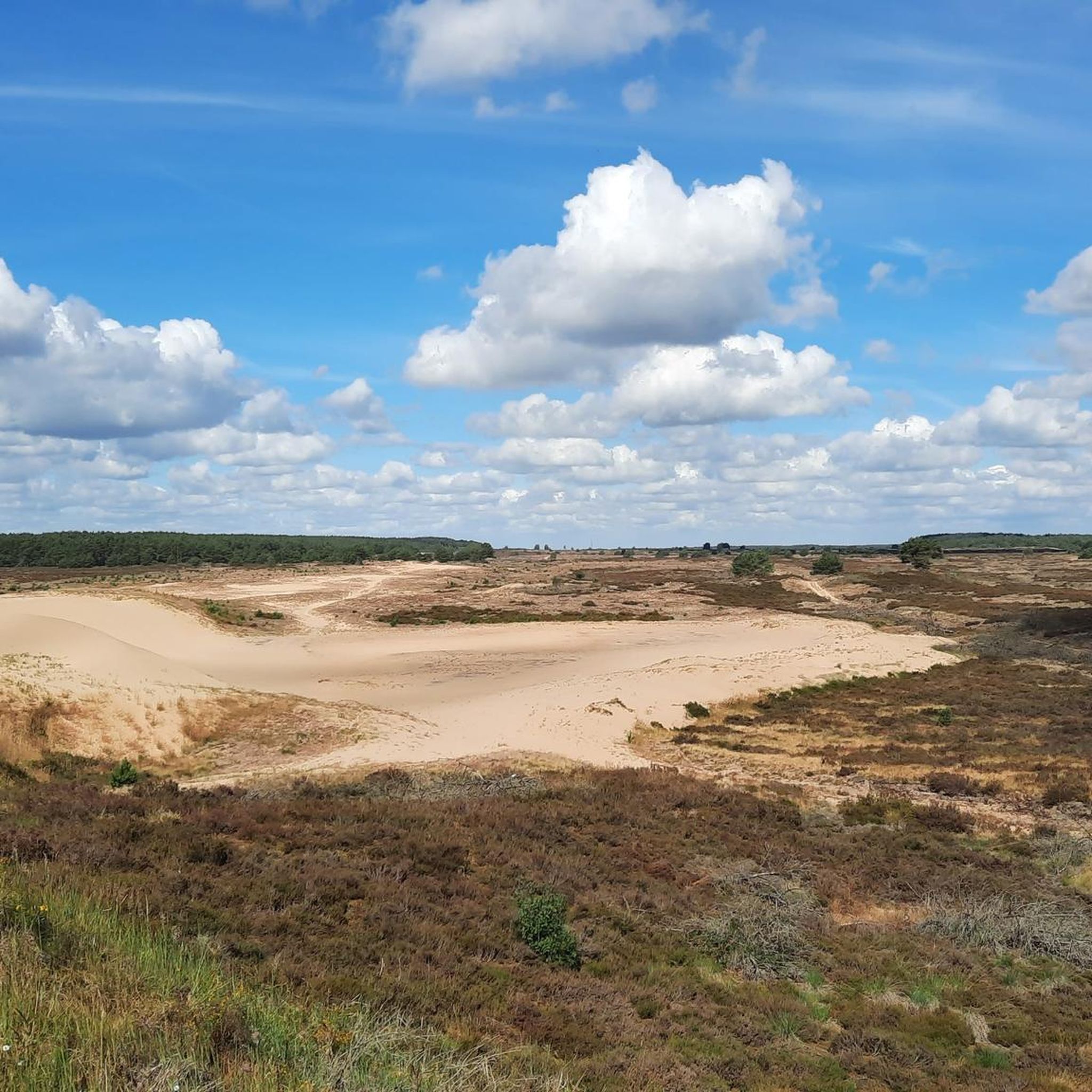
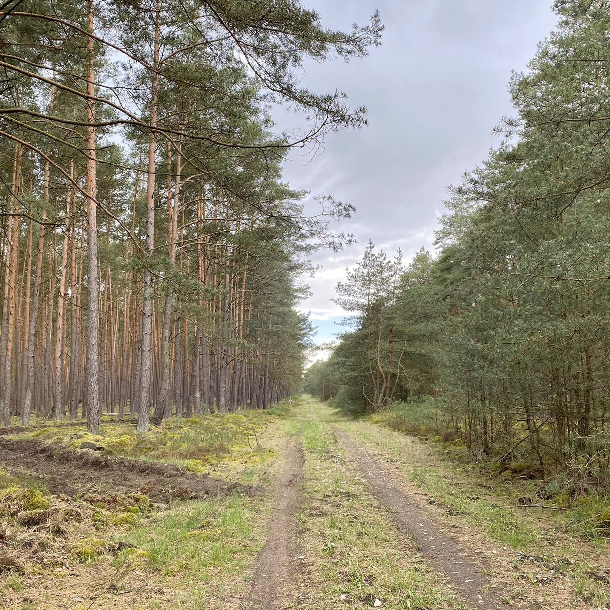
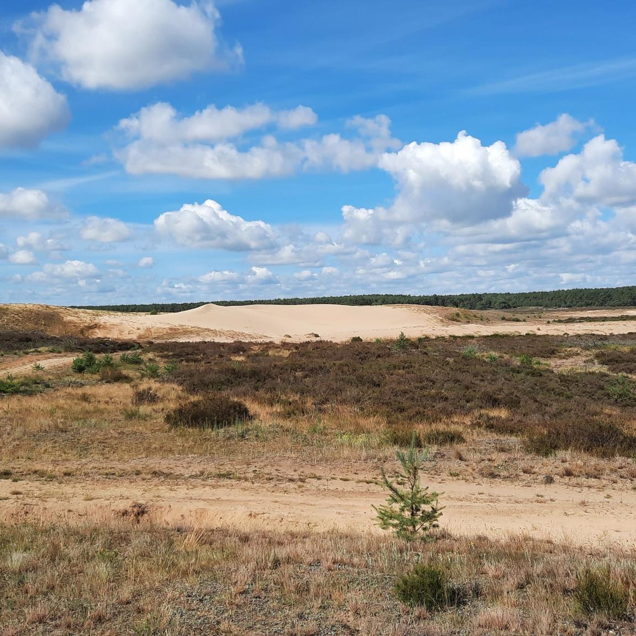
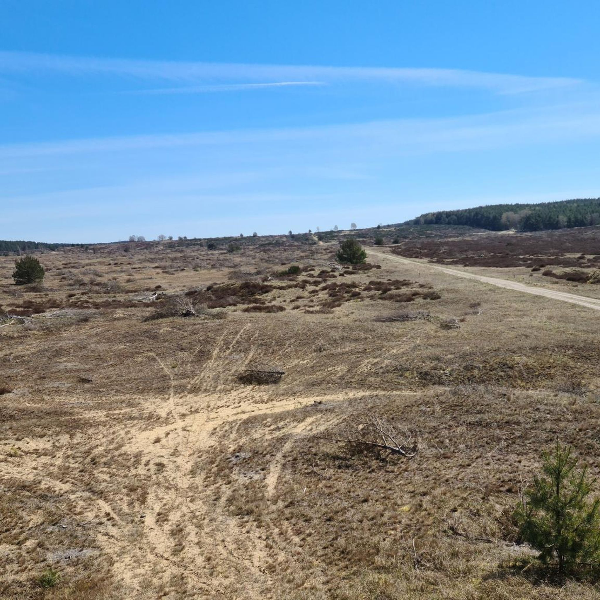
The Lübthen Heath is the largest contiguous heathland in Mecklenburg-Western Pomerania and has been part of the UNESCO Elbe River Landscape Biosphere Reserve since 2015. 📜 Formerly a military training area, the area is now a unique natural heritage site with a rare active inland dune. 🦉 Many rare animals such as the Boreal Owl, Nightjar, and Red-backed Shrike have found a protected habitat here. 🛡️ Large parts of the heath are core and conservation zones where nature is allowed to develop freely. 🌄 Along the way, open sandy areas alternate with heather and sparse pine forests. 🏚️ Relics such as the remains of bunkers and traces of the former village of Quast recall the region's turbulent past. ⚠️ It is important not to leave the marked trails, as explosive ordnance may still be found in the ground off the trail. 📍 Red-headed posts and information boards at the starting points of the routes provide orientation.
0
0

The inland dune, which is also wandering, is one of the largest of its kind in Germany. In addition to the dune itself, you can also enjoy the wonderful panorama of the heath from the hill.
0
0

Always stay on the paths, then nothing can happen
0
0

Definitely worth checking out. Very nice spot to pause and enjoy, this dune in the middle of the forest.
2
0

Again and again you will find relics in this area from the time when active military training took place here. Among other things, a number of buildings that were built specifically for this purpose served as targets.
2
0
If you want to take a breather and enjoy the vastness of the heath while sitting, this covered picnic bench is just the thing.
3
0
An exciting information board provides information about how the former military training area is being transformed into a biosphere reserve and a valuable habitat for flora and fauna.
3
0
グロース・クラムスでのの人気観光スポット

komootモバイルアプリでインスピレーションを得よう


さらに探索
他の地域の最高のハイキングを見てみましょう。
