マリーエンベルクのおすすめライド
4.6
(178)
1,157
ライダー
70
ライド
マリーエンベルク周辺でのロードバイクライドをお考えですか?komootはマリーエンベルク周辺のあらゆるロードバイクライドを評価し、人気ルートを厳選しました。マリーエンベルク周辺の各ロードバイクルートの詳細をご覧になり、自分に合ったルートを見つけてください。
最終更新日: 8月 20, 2026
4.8
(17)
117
ライダー
97.0km
04:22
1,020m
1,020m
難しいロードライド. 標準以上のフィットネスレベルが必要です。 全般的に舗装状態が良好で走行しやすい道です。
4.8
(28)
143
ライダー
50.9km
02:23
620m
620m
中程度のロードライド. ある程度のフィットネスレベルが必要です。 全般的に舗装状態が良好で走行しやすい道です。

無料新規登録
5.0
(3)
46
ライダー
116km
06:21
2,210m
2,210m
難しいロードライド. 標準以上のフィットネスレベルが必要です。 ツアーの一部に、未舗装のため走行が難しい箇所があるかもしれません。
4.9
(10)
79
ライダー
46.1km
02:20
660m
660m
中程度のロードライド. ある程度のフィットネスレベルが必要です。 全般的に舗装状態が良好で走行しやすい道です。
5.0
(4)
50
ライダー
150km
07:52
2,680m
2,680m
難しいロードライド. 標準以上のフィットネスレベルが必要です。 ツアーの一部に、未舗装のため走行が難しい箇所があるかもしれません。
さらに多くのルートや他のユーザーのおすすめ情報を確認できます。
無料新規登録
すでにアカウントをお持ちですか?
おすすめのツアーは他のkomootユーザーが実際に経験した何千ものアクティビティに基づいています。
無料アカウントで今日から始めよう
次の冒険が待っています。
ログインまたは登録
マリーエンベルク周辺で人気
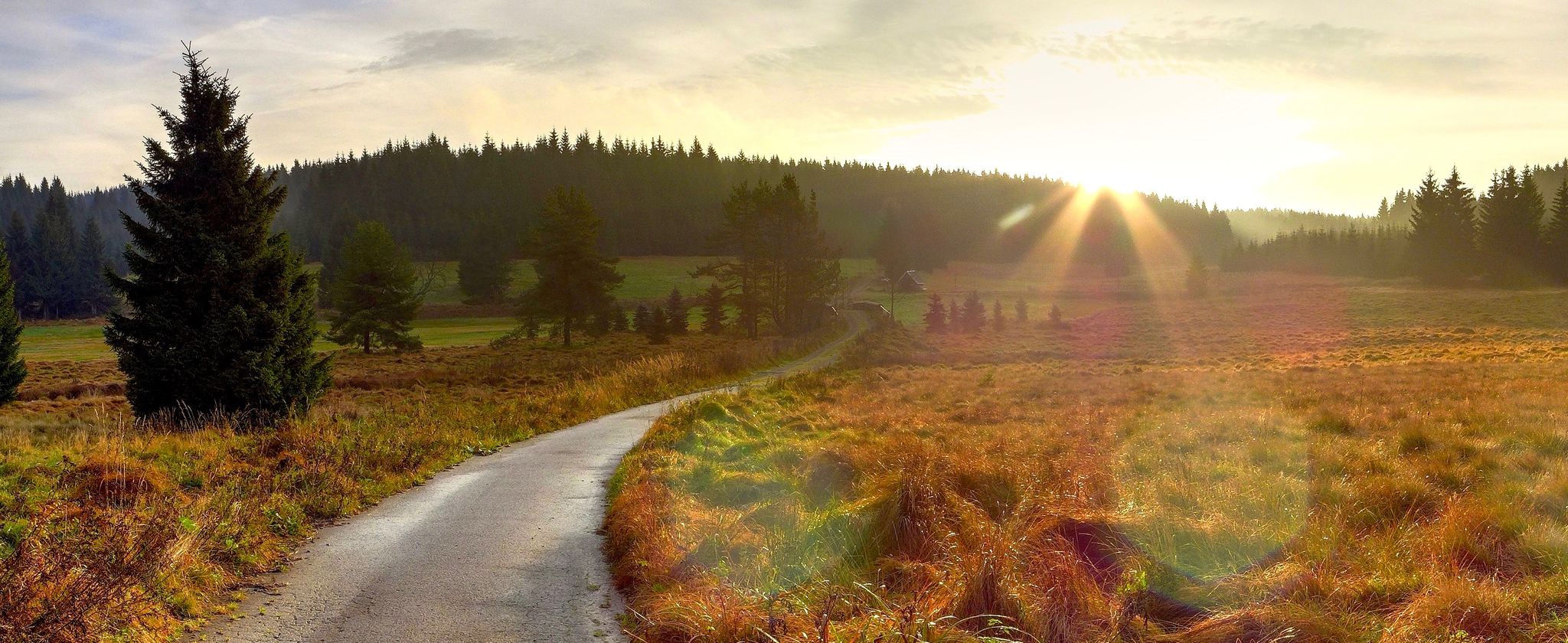
オール山脈 — 森と高度の間で
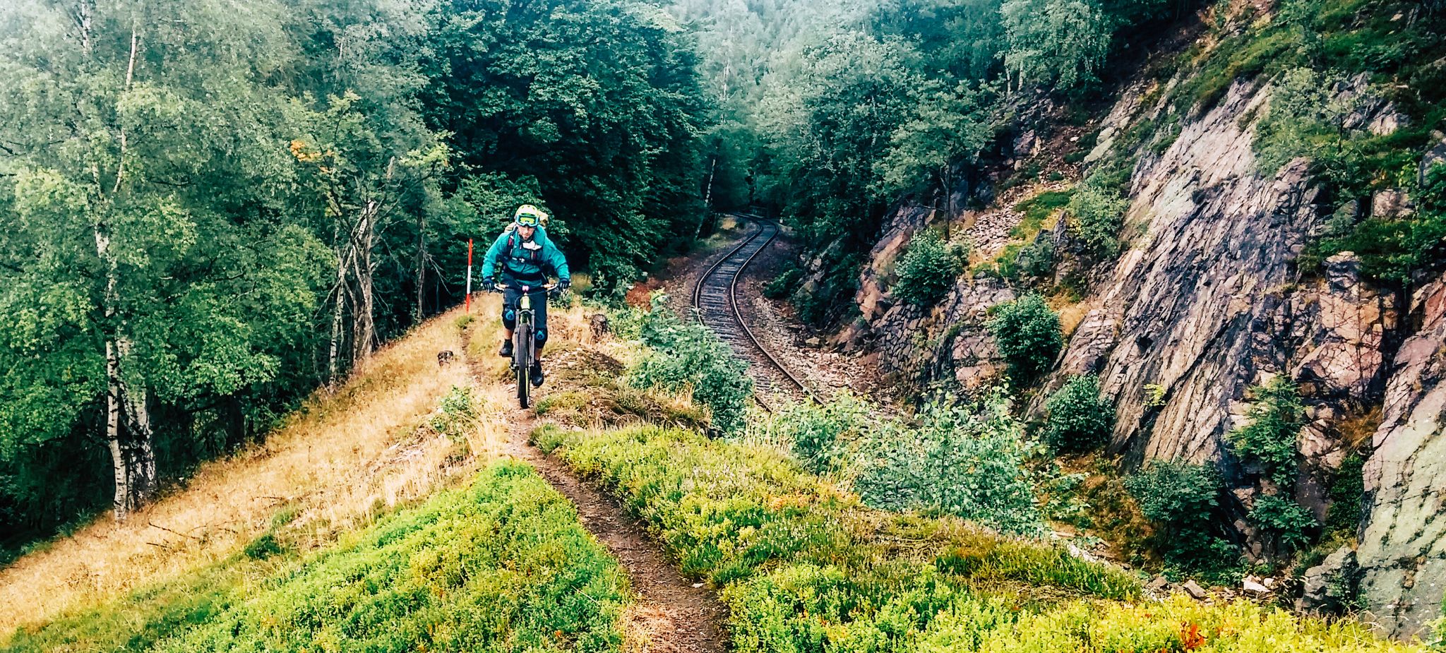
リッジウェイ沿いの境界冒険 - カムムベーグ・エルツゲビルゲ
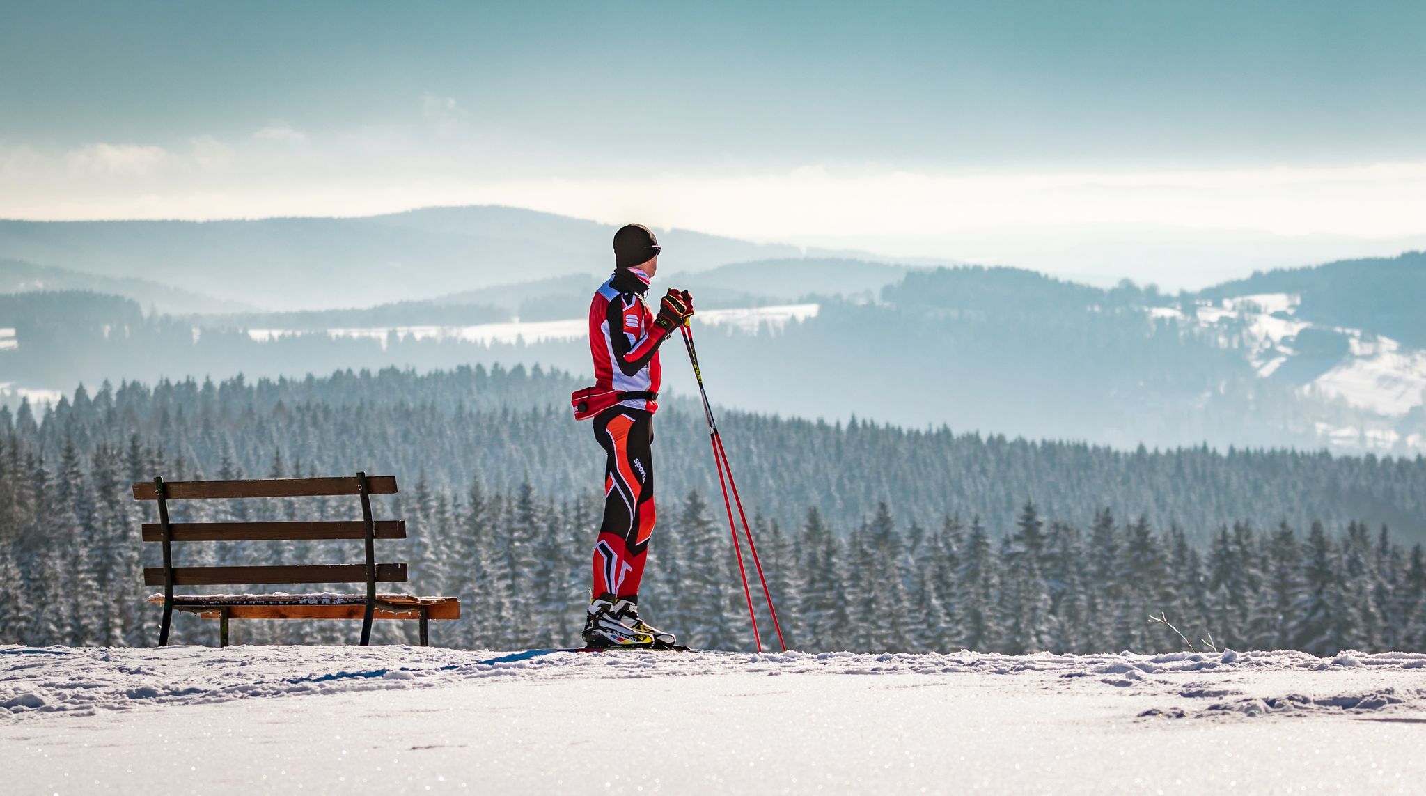
Let it flow! Cross-country skiing in the Ore Mountains

歴史と自然が出会う – エルツゲビルゲ=フォークトラント尾根道
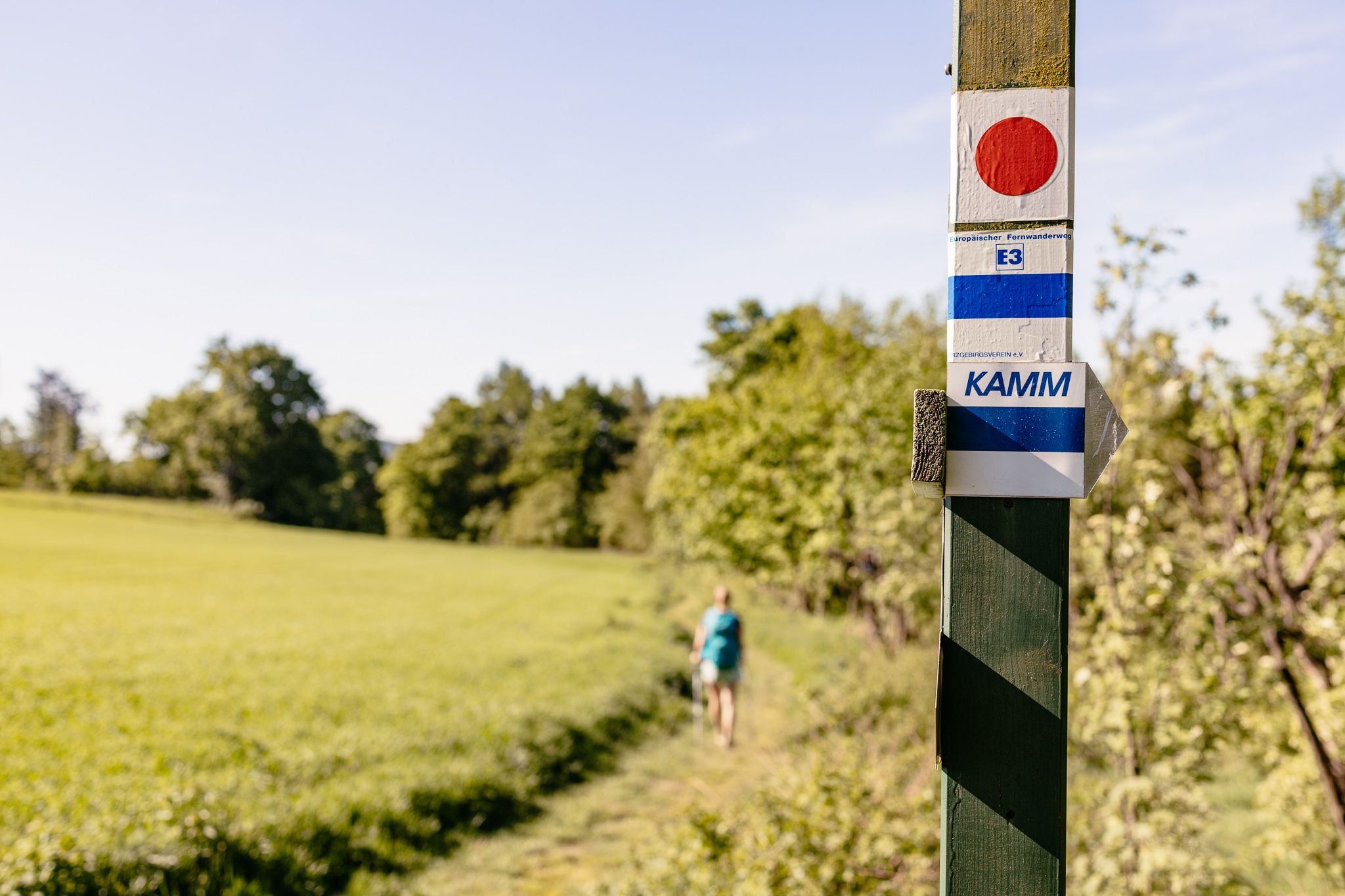
Der Kammweg Erzgebirge-Vogtland aus Sicht einer Bloggerin
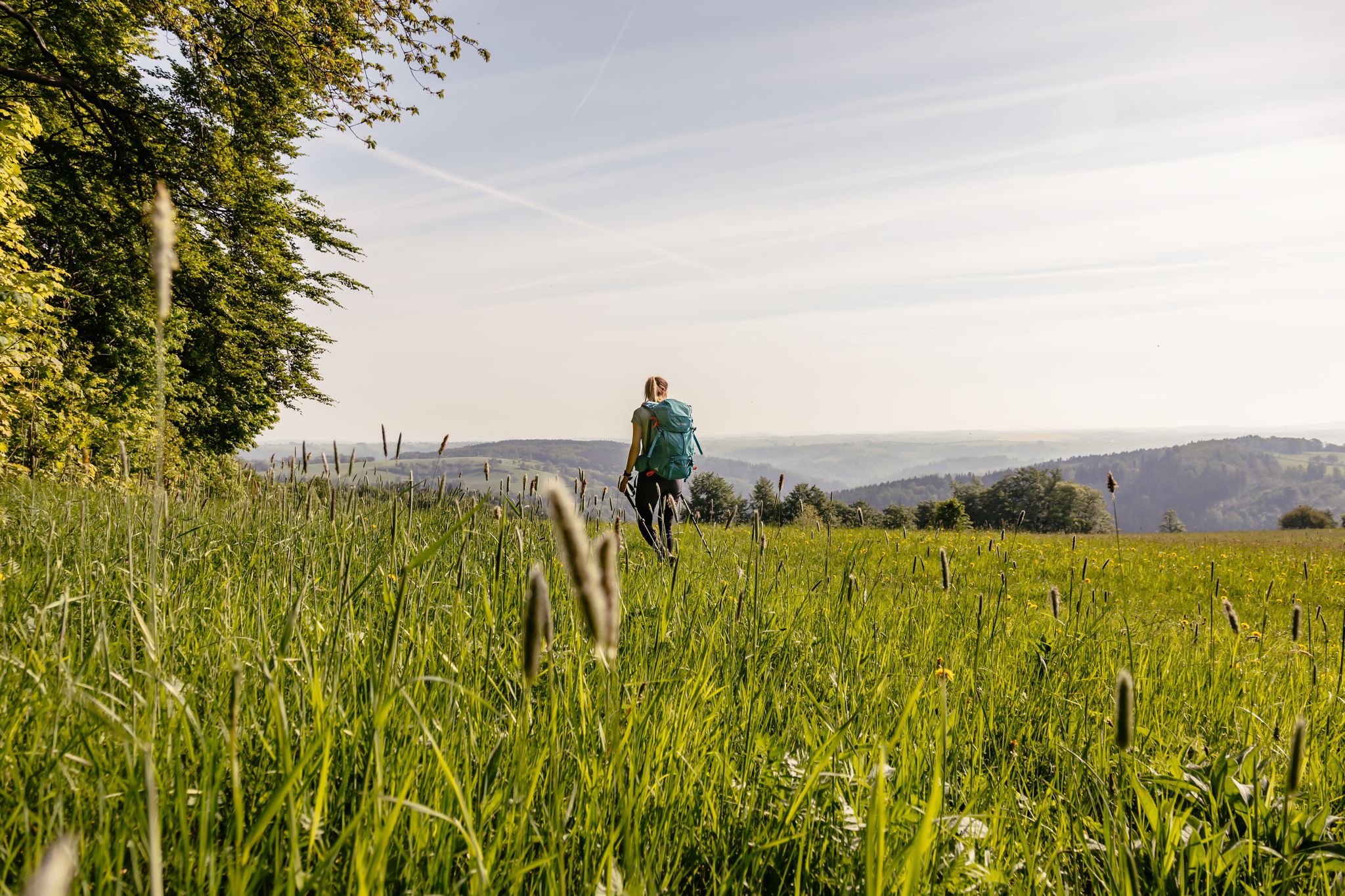
Fernwanderwege im Erzgebirge
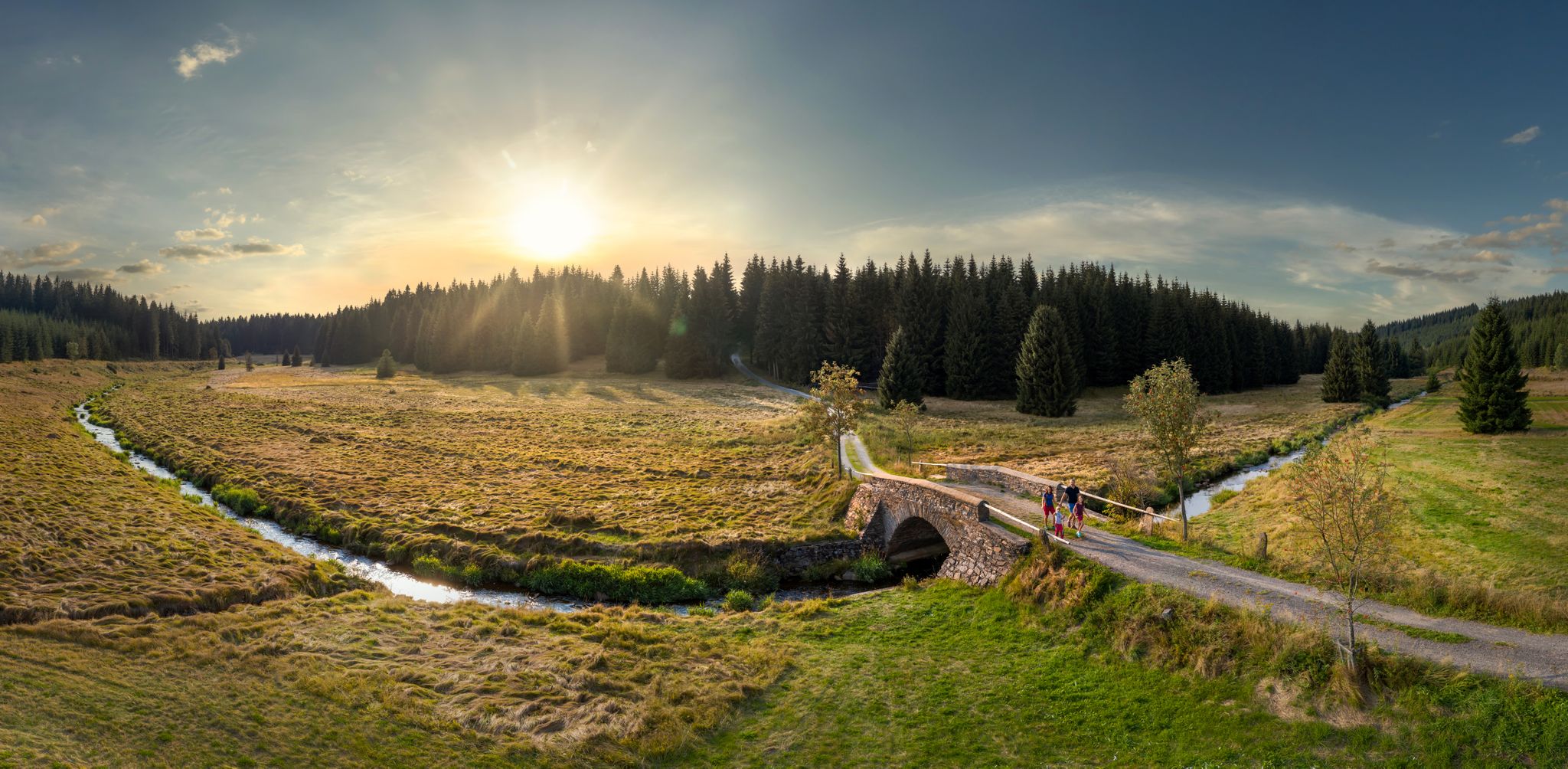
Wandertouren - Flusstäler & Talsperren
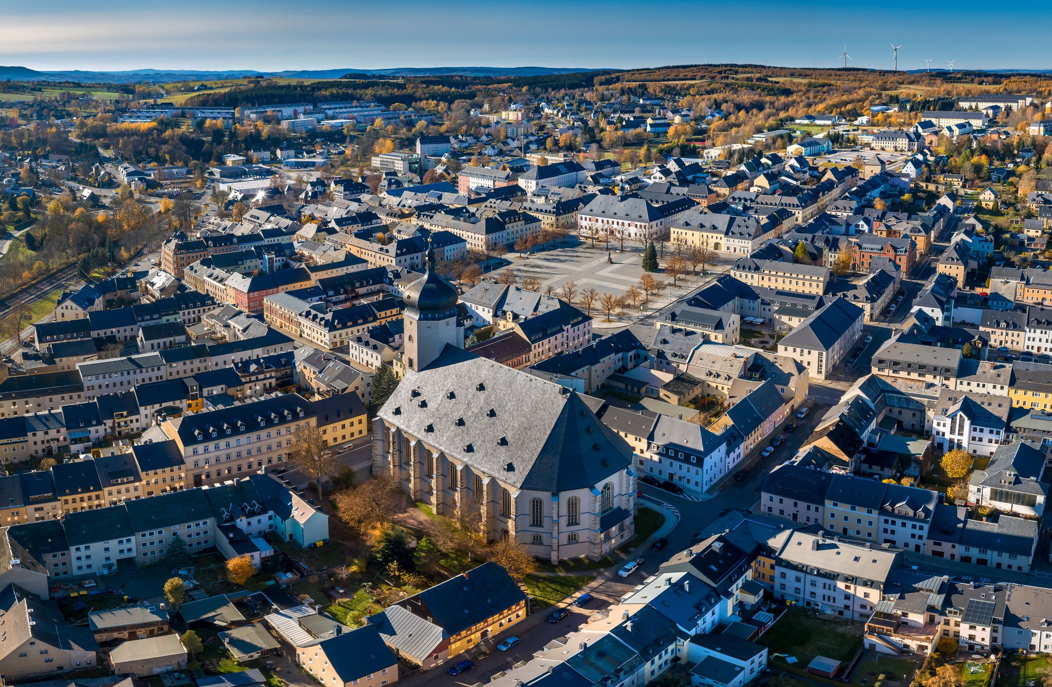
Wandertouren - "Glück Auf" im Welterbe
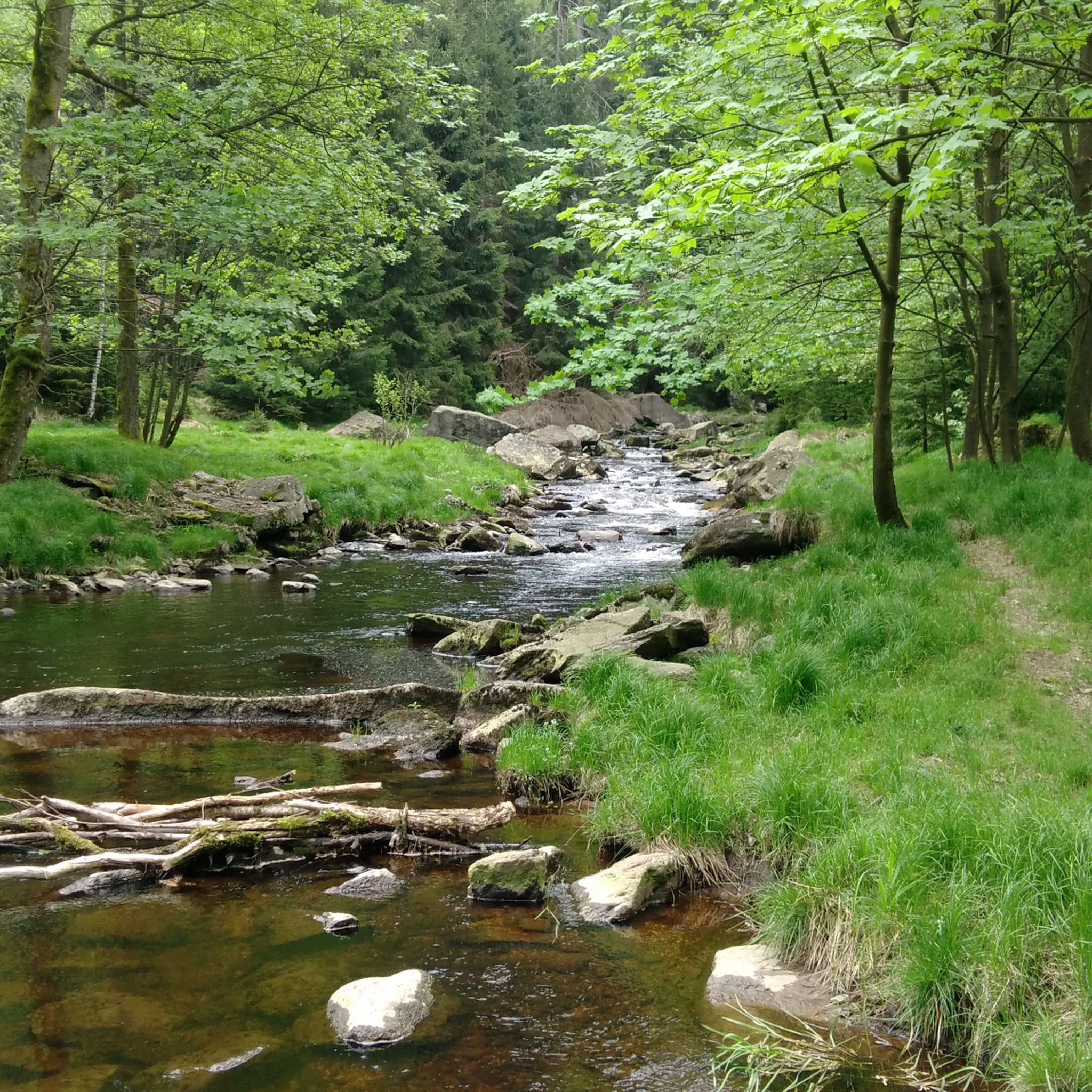
マリーエンベルクでのハイキング
マリーエンベルクでのサイクリング
マリーエンベルクでのの他の冒険


コミュニティからのヒント


One of the most beautiful sections of the Stoneman Miriquidi Road: a quiet, flat stretch, hardly any traffic, and warm autumnal air. The alternating light and shade make the ride a pleasure—a section that simply stays with you.
2
0
A small but beautiful section on the Stoneman Miriquidi Road: The S216 between Kühnhaide and Rübenau is quiet, ideal for rolling and taking a breather.
0
0
A real insider tip on the Stoneman Miriquidi Road: The road from Pobershau to Kühnhaide winds quietly through the forest, with hardly any traffic and pleasant shade. The climb is challenging but steady – perfect for finding your rhythm. At the top, there's a moment to catch your breath.
1
0
Quiet, slightly winding road uphill/downhill. The asphalt may not be excellent, but it's perfectly fine.
0
0
With every step, closer to the summit – the Fichtelberg climb on the Stoneman Miriquidi Road. From the intersection, it's not far anymore, and motivation gets a final boost.
1
0

The first weather observer on this summit was the innkeeper of the Fichtelberghaus. He recorded his weather observations from 1890 onwards, but from 1898 onwards only intermittently, and from 1910 onwards not at all. The head of the Royal Saxon State Meteorological Observatory, Paul Schreiber, suggested the construction of a permanent weather observatory. Temperature, wind speed, and precipitation amounts have been continuously recorded here since January 1, 1916. The strongest storm recorded here was on January 3, 1976, with a peak gust speed of 216 kilometers per hour. The coldest day on the summit was February 9, 1956, with minus 30.4 degrees Celsius; the warmest was July 27, 1983, with plus 30.8 degrees Celsius. The highest snow cover was measured in March 1944: 3.35 meters. The year 1951 was bad for Fichtelberg tourists: it held the record for foggy days with 315.
13
1

Panoramic view over the Ore Mountains!
0
0

komootモバイルアプリでインスピレーションを得よう


さらに探索
他の地域の最高のロードサイクリングルートを見てみましょう。
