ヨハンジョルゲンシュタットのおすすめライド
4.8
(54)
1,085
ライダー
12
ライド
ヨハンジョルゲンシュタット周辺でのロードバイクライドをお考えですか?komootはヨハンジョルゲンシュタット周辺のあらゆるロードバイクライドを評価し、人気ルートを厳選しました。ヨハンジョルゲンシュタット周辺の各ロードバイクルートの詳細をご覧になり、自分に合ったルートを見つけてください。
最終更新日: 10月 13, 2026
4.8
(12)
130
ライダー
71.8km
03:33
1,090m
1,090m
難しいロードライド. 標準以上のフィットネスレベルが必要です。 全般的に舗装状態が良好で走行しやすい道です。
5.0
(1)
43
ライダー
57.1km
02:52
910m
910m
難しいロードライド. 標準以上のフィットネスレベルが必要です。 全般的に舗装状態が良好で走行しやすい道です。

5.0
(1)
21
ライダー
33.4km
01:44
590m
590m
中程度のロードライド. ある程度のフィットネスレベルが必要です。 ツアーの一部に、未舗装のため走行が難しい箇所があるかもしれません。
21
ライダー
38.8km
02:01
720m
720m
中程度のロードライド. ある程度のフィットネスレベルが必要です。 全般的に舗装状態が良好で走行しやすい道です。
5.0
(1)
7
ライダー
64.7km
03:06
790m
790m
中程度のロードライド. ある程度のフィットネスレベルが必要です。 全般的に舗装状態が良好で走行しやすい道です。
さらに多くのルートや他のユーザーのおすすめ情報を確認できます。
すでにアカウントをお持ちですか?
おすすめのツアーは他のkomootユーザーが実際に経験した何千ものアクティビティに基づいています。
無料アカウントで今日から始めよう
次の冒険が待っています。
ヨハンジョルゲンシュタット周辺で人気
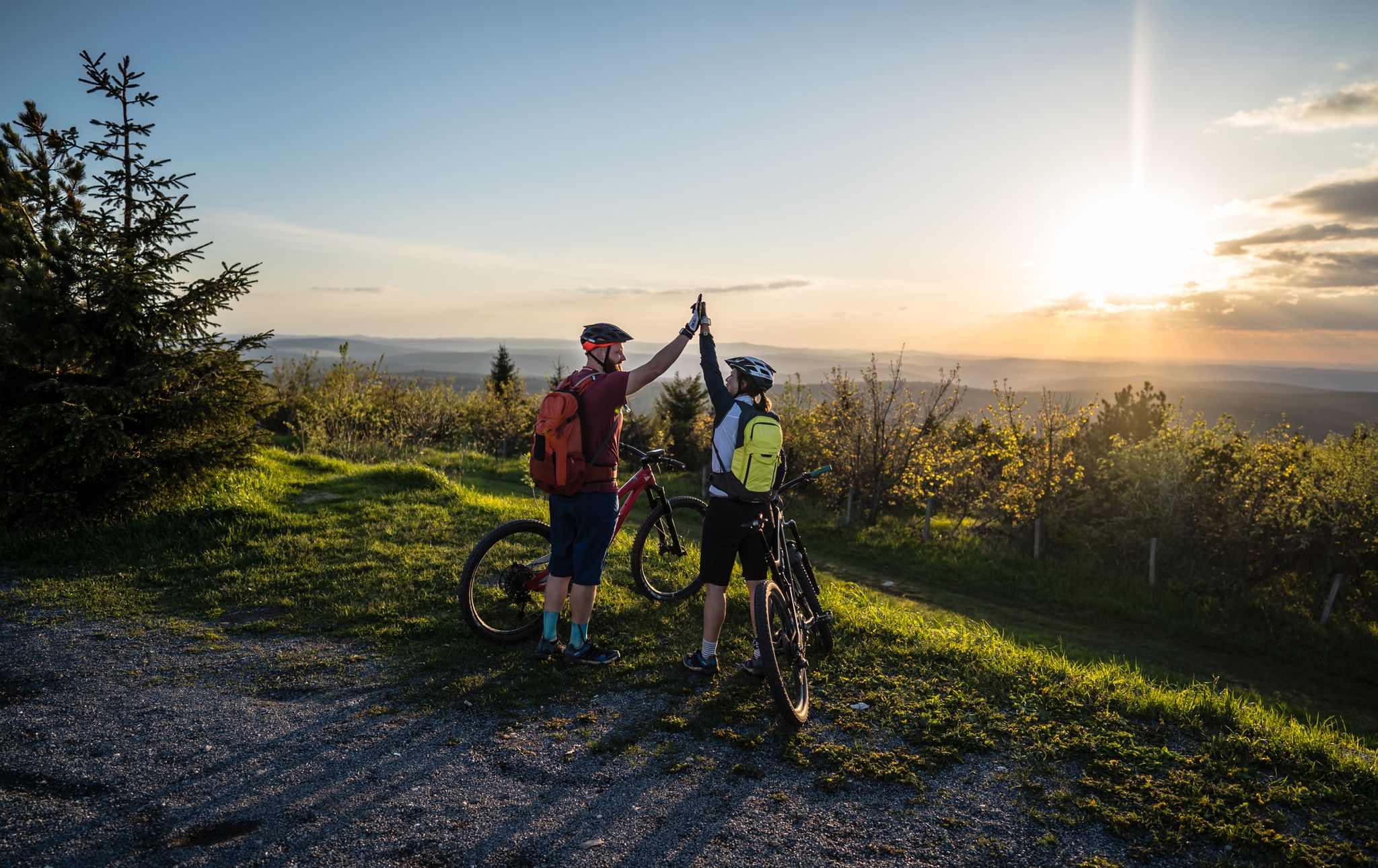
Flying high on two wheels – bike holidays in the Ore Mountains

歴史と自然が出会う – エルツゲビルゲ=フォークトラント尾根道
The Anton-Günther-Trail — a long weekend in the Ore Mountains
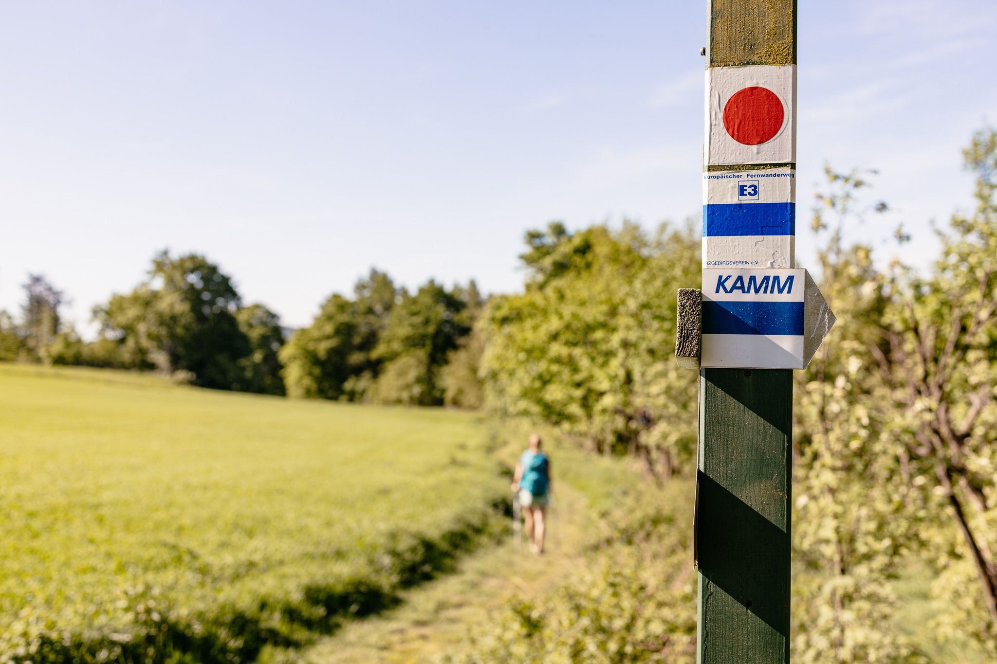
Der Kammweg Erzgebirge-Vogtland aus Sicht einer Bloggerin
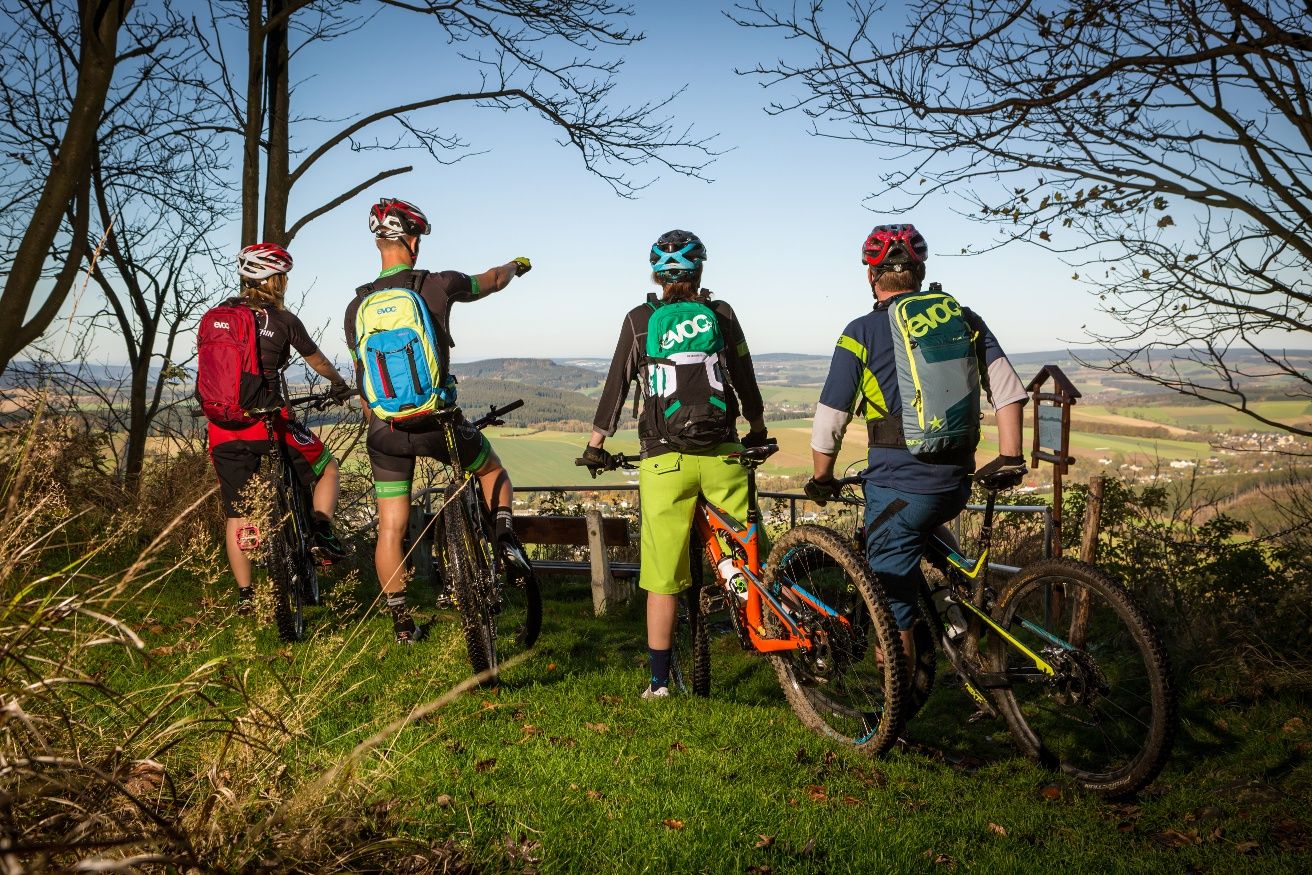
Stoneman Miriquidi MTB Gesamtstrecke (3 Tage - Bronze)
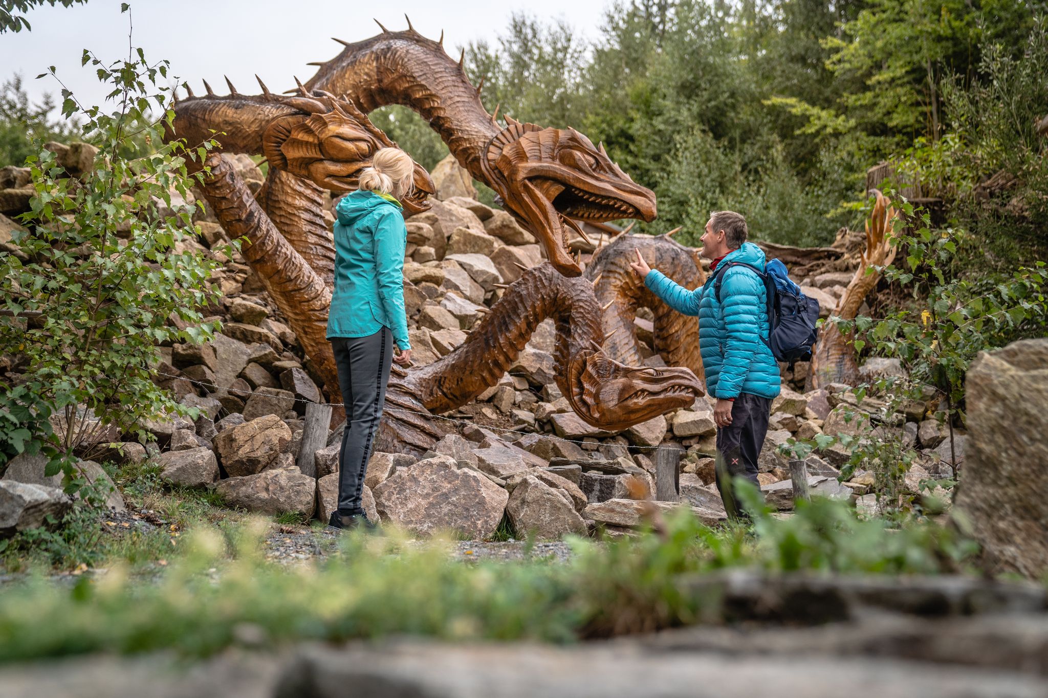
Wandertouren - Handwerk & Heimatgenuss
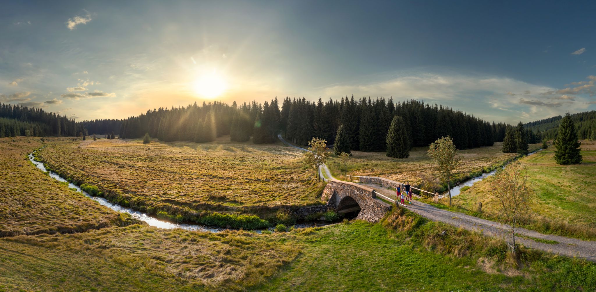
Wandertouren - Flusstäler & Talsperren
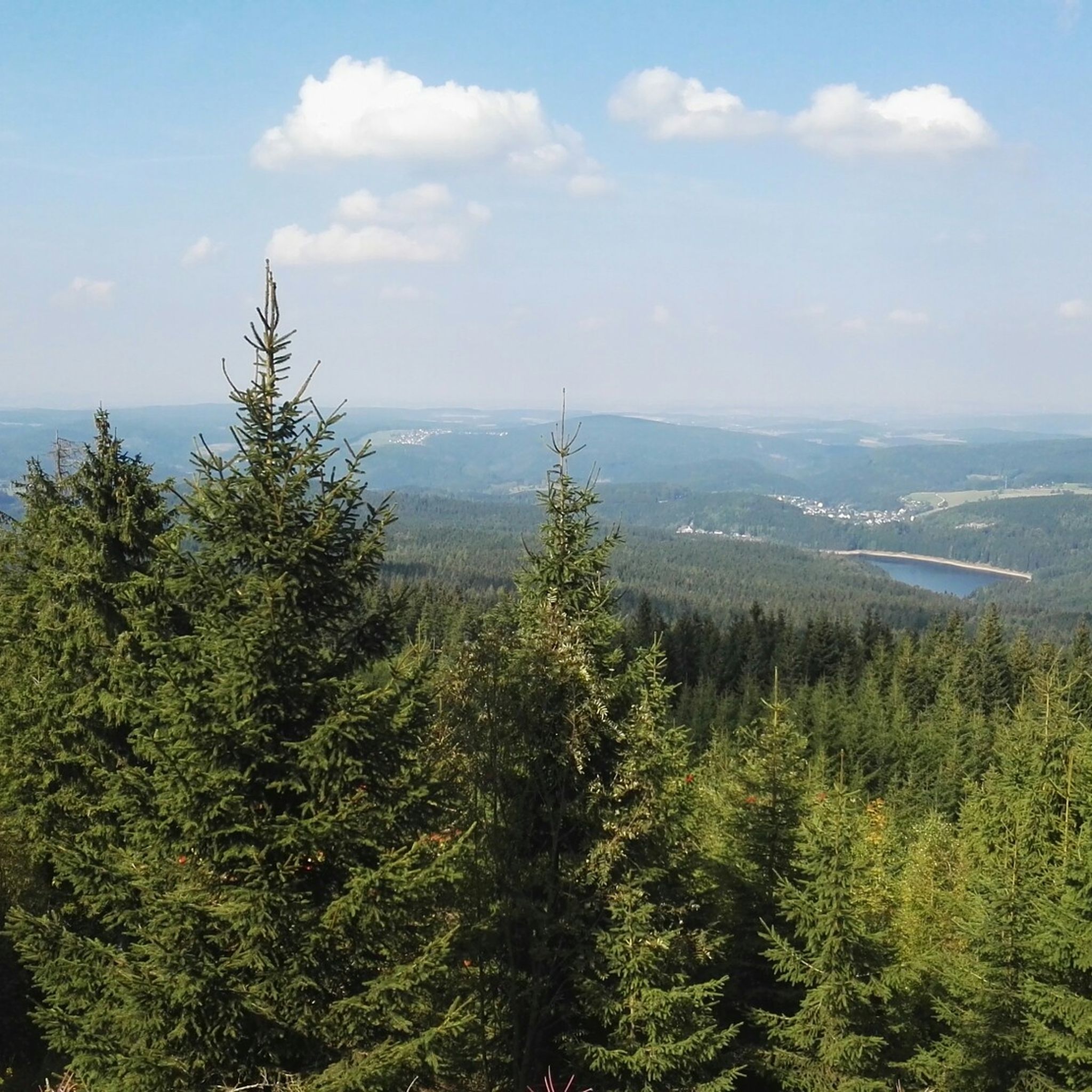
ヨハンジョルゲンシュタットでのハイキング
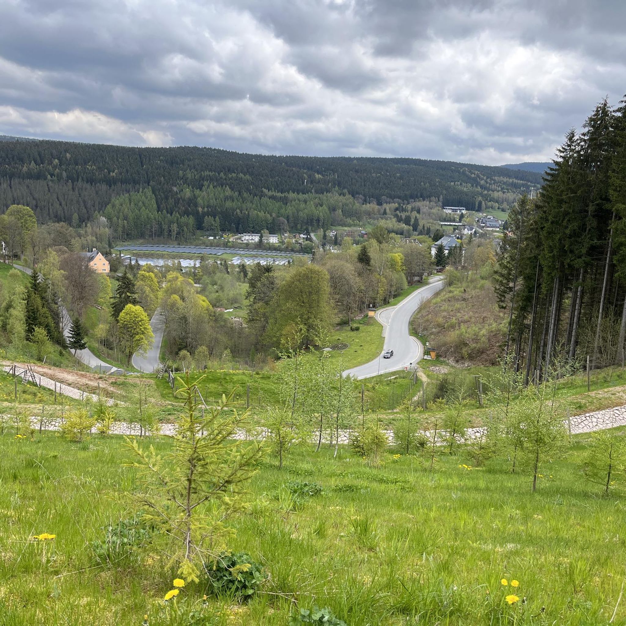
ヨハンジョルゲンシュタットでのサイクリング
ヨハンジョルゲンシュタットのMTBトレイル
ヨハンジョルゲンシュタットでのの他の冒険


コミュニティからのヒント


ヘフェクロッツフェルゼン(ブランドベルク)の印象的な岩層を通り抜け、シュヴァルツヴァッサー沿いの鬱蒼とした森を抜ける、素晴らしい区間です。
1
0


World's Largest Freestanding Candle Arch On December 15, 2012, the world's largest freestanding candle arch was inaugurated in Johanngeorgenstadt at the 20th Original Johanngeorgenstadt Candle Arch Festival. This giant is 25 meters wide and, including the candles, 14.5 meters high, and consists of 700 tons of reinforced concrete and 15 tons of stainless steel. The new attraction, as well as the giant pyramid, was donated by Johanngeorgenstadt entrepreneur Siegfried Ott. - Symbols in the candle arch: ° Wonder flower represents the legends of the Ore Mountains. ° Lacemaker represents one aspect of Ore Mountain folk art. ° Miners represent mining in Saxony. ° Upward-reaching flower signifies that folk art found fertile ground in the Ore Mountains. ° Crossed swords symbolize the Free State of Saxony. The horseshoe is a reminder that a mountain blacksmith invented the Schwibbogen (candle arch). The hammer and chisel are further symbols of mining. The light angel, woodcarver, and incense smoker represent the folk art of the Ore Mountains.
0
0


Commemoration The suffering of the people of Johanngeorgenstadt at that time, against the backdrop of the mining town's renewed threat of losing its identity. When land subsidence and uranium ore mining occurred, the GDR government, at the urging of the Soviet Union, decided in 1951 to demolish the historic town center.
0
0
the town of Elterlein. Beautifully decorated with fountains and flowers
1
0

With every step, closer to the summit – the Fichtelberg climb on the Stoneman Miriquidi Road. From the intersection, it's not far anymore, and motivation gets a final boost.
1
0

komootモバイルアプリでインスピレーションを得よう


さらに探索
他の地域の最高のロードサイクリングルートを見てみましょう。
