ミルデナウのおすすめライド
4.6
(361)
3,220
ライダー
14
ライド
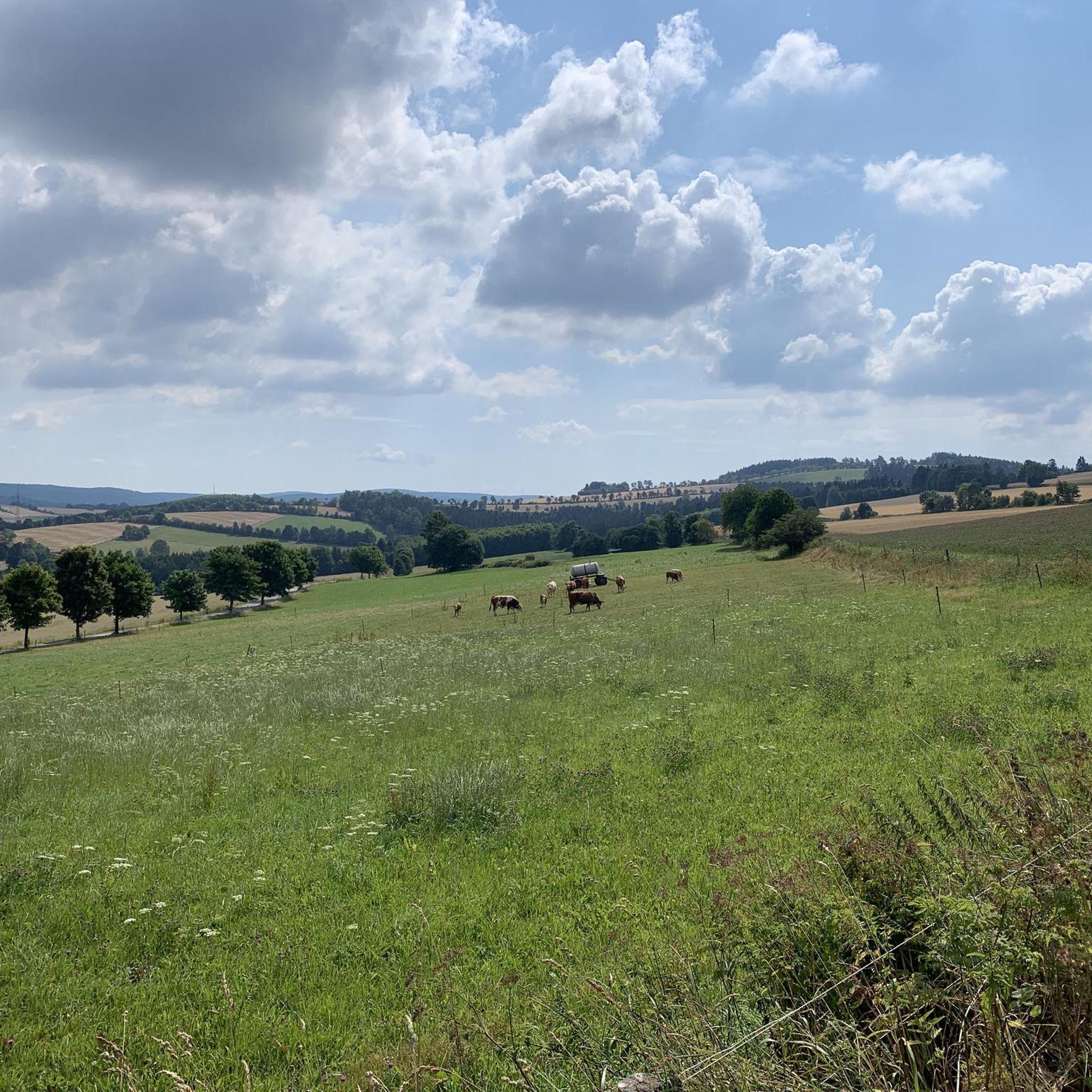
ロードサイクリングルートはエルツ山地(Erzgebirge)に位置し、標高470メートルから770メートルの間で変化に富んだ地形を提供します。この地域には、シュヴァルツェ・ポッカウ(Schwarze Pockau)、シュヴァルツァーヴァッサータール(Schwarzwassertal)、プレシュニッツタール(Preßnitztal)のような絵のように美しい谷を横切る、よく整備されたサイクリングパスがあります。この地形は、さまざまなレベルのロードサイクリストに適した、挑戦的な登りと快適な下りの両方を提供します。この地域は、豊かな森林と起伏に富んだ景観が特徴の自然公園エルツ山地/フォクトラント(Naturpark Erzgebirge/Vogtland)の一部であり、保護された景観を通る風光明媚なルートを提供しています。
ミルデナウ周辺のベストロードサイクリングルート
- 最も人気のあるロードサイクリングルートは、エルツ山地からのループ、ブレットミュール・イン – ヨースタット–グルンバッハ・ホーエンシュトラーセです。このルートは18.7マイル(30.1 km)で、所要時間は1時間29分です。この適度な難易度のルートは、エルツ山地の広大な景色を楽しめる高台のセクションを提供します。
- 地元のロードサイクリストに人気のもう一つのルートは、エルツ山地からのループ、ヨースタット–グルンバッハ・ホーエンシュトラーセ – プレルベルクの眺めです。これは適度な難易度で、23.7マイル(38.1 km)のルートです。このルートは、地域の起伏の多い丘陵地帯を巡りながら、特に有名なプレルベルク(Pölberg)を含む景色の良い眺めを提供します。
- 地元のロードサイクリストに愛されているのは、ラウシェンバッハタールからのループ、プリセチニツェ貯水池 – ヨースタット–グルンバッハ・ホーエンシュトラーセです。これは23.6マイル(37.9 km)のトレイルで、起伏に富んだ地形を通り、かなりの標高差があり、所要時間は約2時間9分です。
- ミルデナウ周辺のロードサイクリングは、エルツ山地の中腹の標高、シュヴァルツァーヴァッサータールのような絵のように美しい谷、そしてプレルベルク方面のようなパノラマビューポイントによって特徴づけられます。このネットワークは、初心者、中級者、上級者向けのオプションを提供し、さまざまなレベルの能力に対応しています。
- ミルデナウのルートは、komootコミュニティから高く評価されており、280件以上のレビューから平均4.6つ星を獲得しています。2,900人以上のロードサイクリストがkomootを利用して、ミルデナウの多様な地形を探検しました。
最終更新日: 9月 2, 2026
5.0
(2)
18
ライダー
30.1km
01:29
450m
450m
中程度のロードライド. ある程度のフィットネスレベルが必要です。 全般的に舗装状態が良好で走行しやすい道です。
4.0
(2)
8
ライダー
38.1km
01:54
600m
600m
中程度のロードライド. ある程度のフィットネスレベルが必要です。 全般的に舗装状態が良好で走行しやすい道です。

4.7
(3)
8
ライダー
39.8km
02:15
580m
580m
中程度のロードライド. ある程度のフィットネスレベルが必要です。 ツアーの一部に、未舗装のため走行が難しい箇所があるかもしれません。
5
ライダー
19.5km
01:02
360m
360m
中程度のロードライド. ある程度のフィットネスレベルが必要です。 全般的に舗装状態が良好で走行しやすい道です。
6
ライダー
66.2km
03:21
1,090m
1,080m
難しいロードライド. 標準以上のフィットネスレベルが必要です。 全般的に舗装状態が良好で走行しやすい道です。
さらに多くのルートや他のユーザーのおすすめ情報を確認できます。
すでにアカウントをお持ちですか?
おすすめのツアーは他のkomootユーザーが実際に経験した何千ものアクティビティに基づいています。
無料アカウントで今日から始めよう
次の冒険が待っています。
コミュニティからのヒント


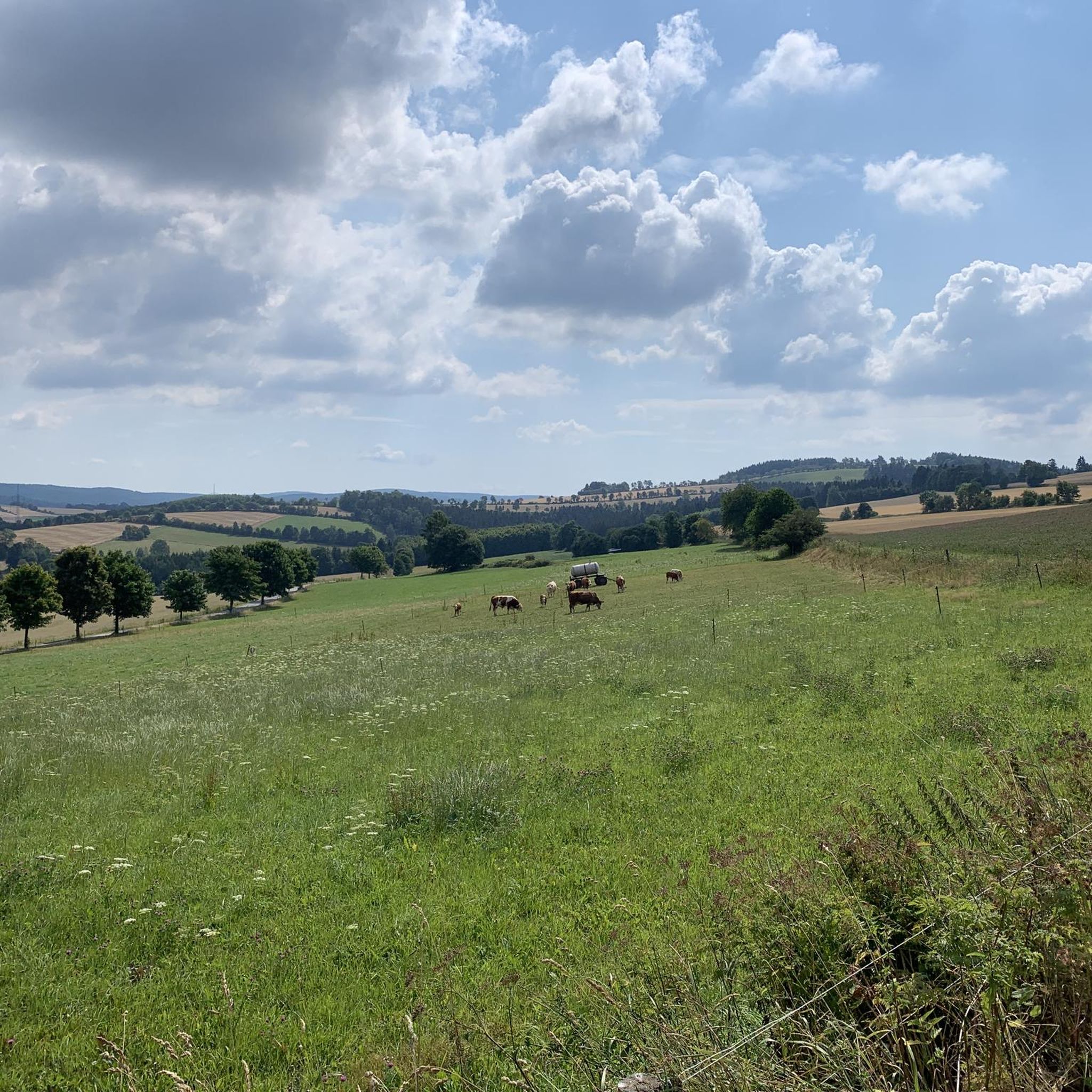
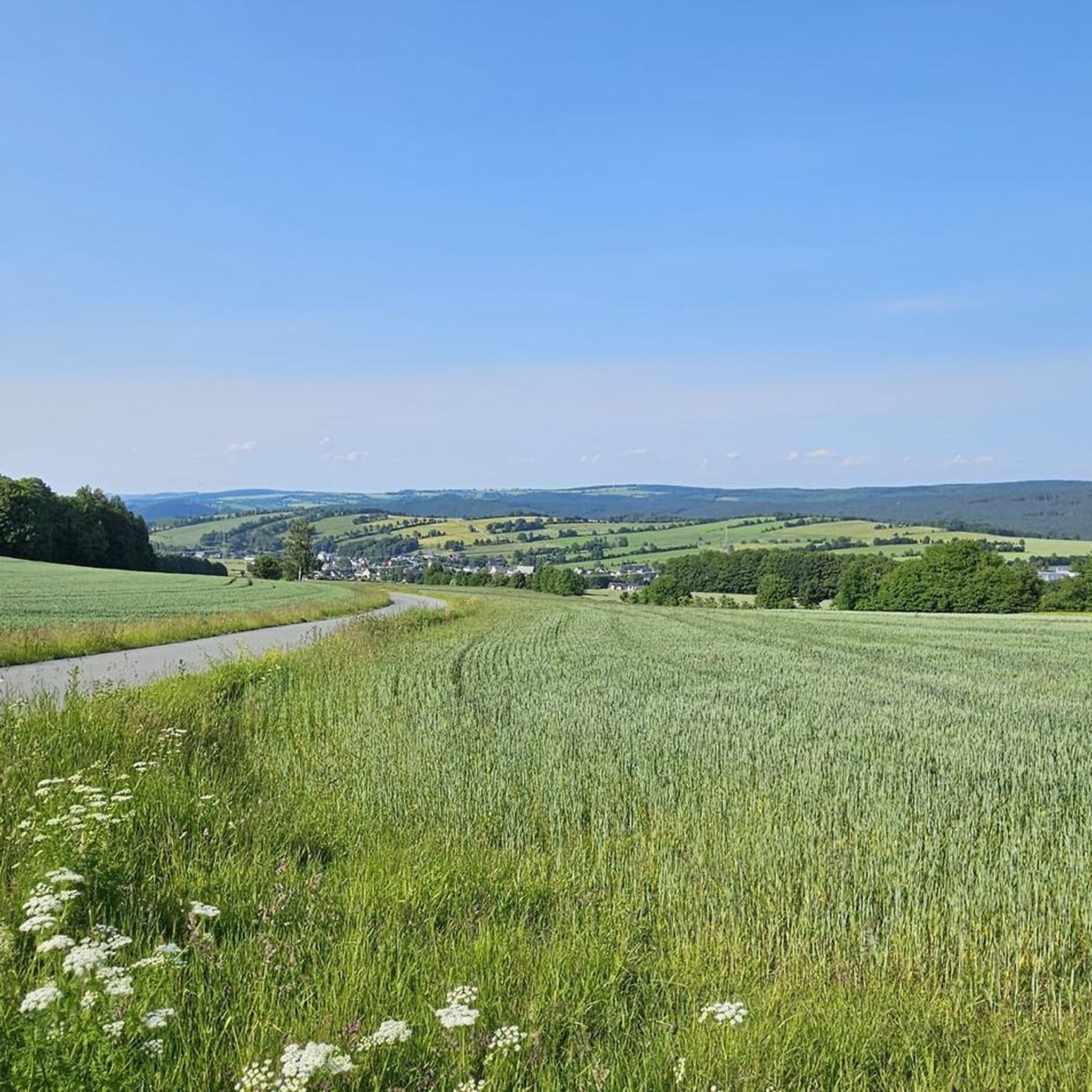
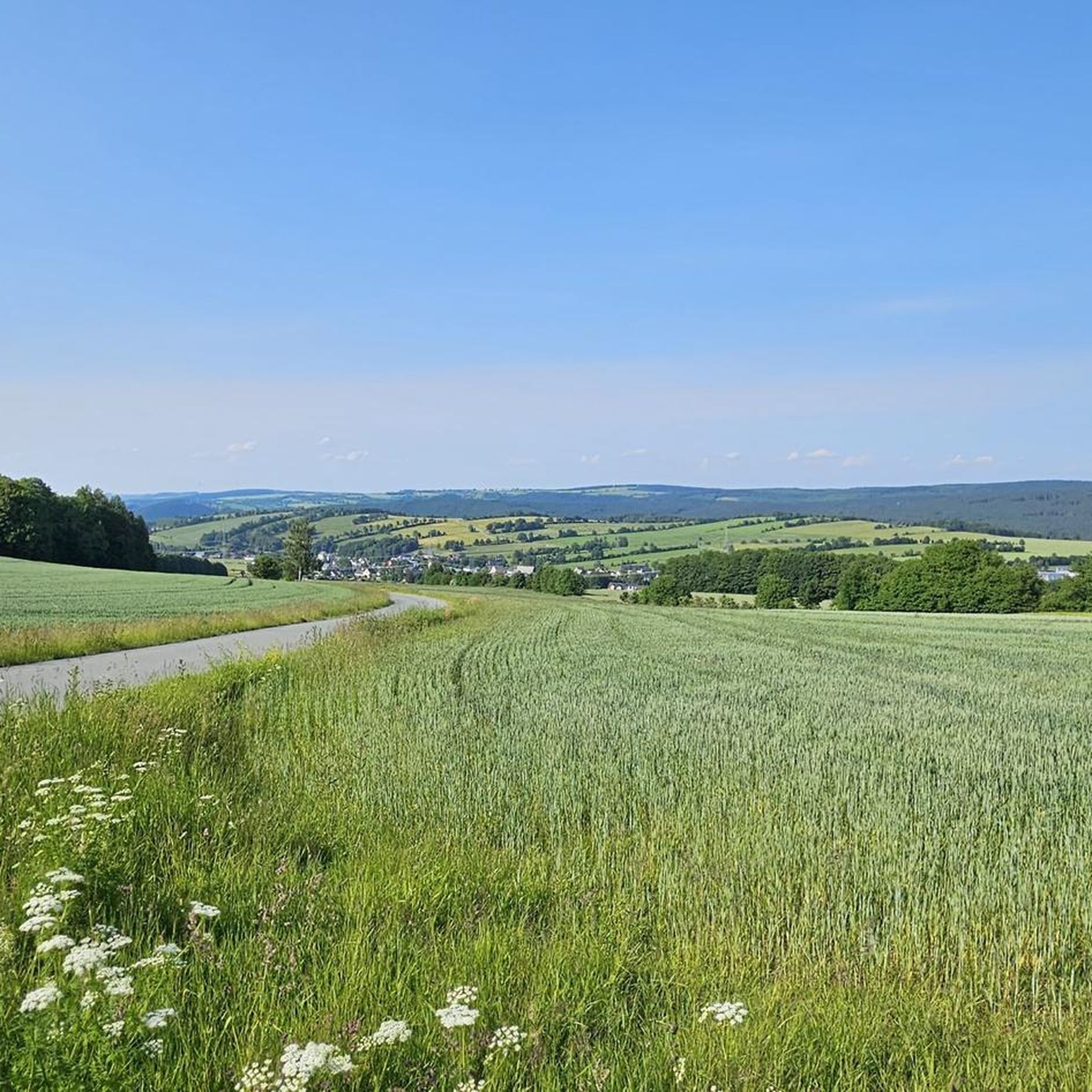
After Kühberg, the trail continues through the forest for a while before the panorama opens up towards Jöhstadt. We encountered very little traffic here, and the road was in good condition. It was fun to climb.
1
0
With every step, closer to the summit – the Fichtelberg climb on the Stoneman Miriquidi Road. From the intersection, it's not far anymore, and motivation gets a final boost.
1
0

The Catholic Church of St. Boniface belongs to the Catholic parish of "Mary, Mother of the Church." This parish stretches from Thum through Annaberg-Buchholz, Bärenstein, Oberwiesenthal, Marienberg, and Olbernhau to Neuhausen. In September 2021, St. Boniface celebrated the centenary of its consecration.
16
0

If you're doing the Stoneman, this is your first short detour to the Czech Republic. The EU makes it easy 🇪🇺🙂
0
0

komootモバイルアプリでインスピレーションを得よう


さらに探索
他の地域の最高のロードサイクリングルートを見てみましょう。
