マリーエンベルクのおすすめランニングルート
4.5
(144)
940
ランナー
112
ランニング
マリーエンベルクでランニングを楽しめば、このエリアをより深く知ることができます。ランニングに適した美しいルートが見つかるように、komootがマリーエンベルクでのルートのコレクション全体を評価して選び抜いた、人気ランニングトレイルをご紹介します。ルートをクリックして詳細を表示し、他のユーザーがアップロードした役立つ情報や写真を閲覧しましょう。
最終更新日: 9月 14, 2026
5.0
(4)
77
ランナー
14.5km
01:35
270m
270m
中程度のジョギング. ある程度のフィットネスレベルが必要です。 全般的に舗装された状態です。あらゆるスキルレベルに適しています。
4.3
(7)
45
ランナー
9.15km
01:00
120m
120m
中程度のジョギング. ある程度のフィットネスレベルが必要です。 全般的に舗装された状態です。あらゆるスキルレベルに適しています。

3.0
(1)
26
ランナー
7.01km
00:46
130m
130m
難しいジョギング. ある程度のフィットネスレベルが必要です。 安定して歩行できる技術、丈夫な靴、高標高地での登山経験が必要です。
4.0
(4)
37
ランナー
6.38km
00:40
70m
70m
中程度のジョギング. ある程度のフィットネスレベルが必要です。 全般的に舗装された状態です。あらゆるスキルレベルに適しています。
5.0
(1)
31
ランナー
4.74km
00:30
50m
50m
初級者向けランニング. あらゆるフィットネスレベルに適しています。 全般的に舗装された状態です。あらゆるスキルレベルに適しています。
さらに多くのルートや他のユーザーのおすすめ情報を確認できます。
すでにアカウントをお持ちですか?
おすすめのツアーは他のkomootユーザーが実際に経験した何千ものアクティビティに基づいています。
無料アカウントで今日から始めよう
次の冒険が待っています。
マリーエンベルク周辺で人気
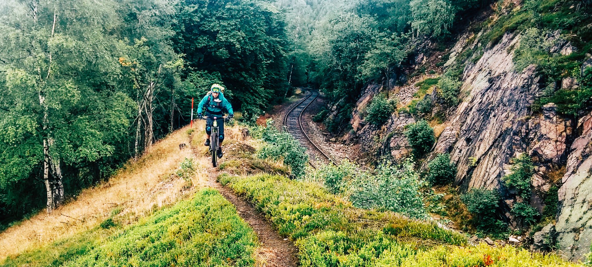
リッジウェイ沿いの境界冒険 - カムムベーグ・エルツゲビルゲ
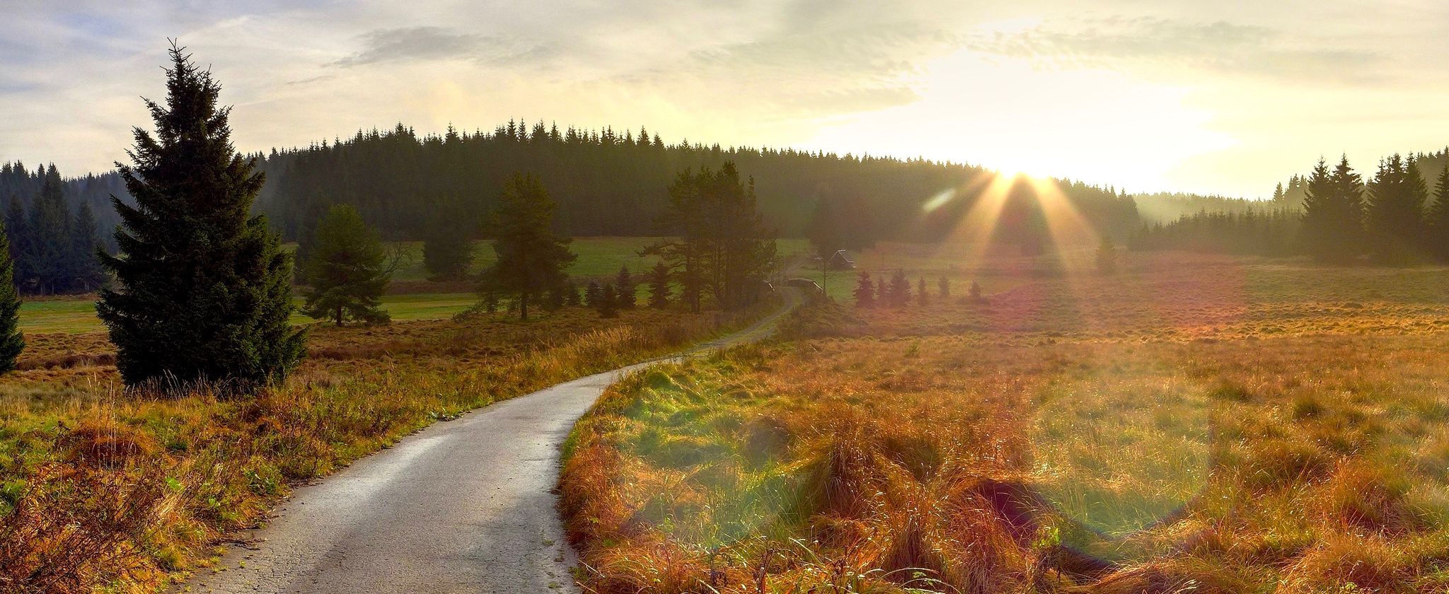
オール山脈 — 森と高度の間で
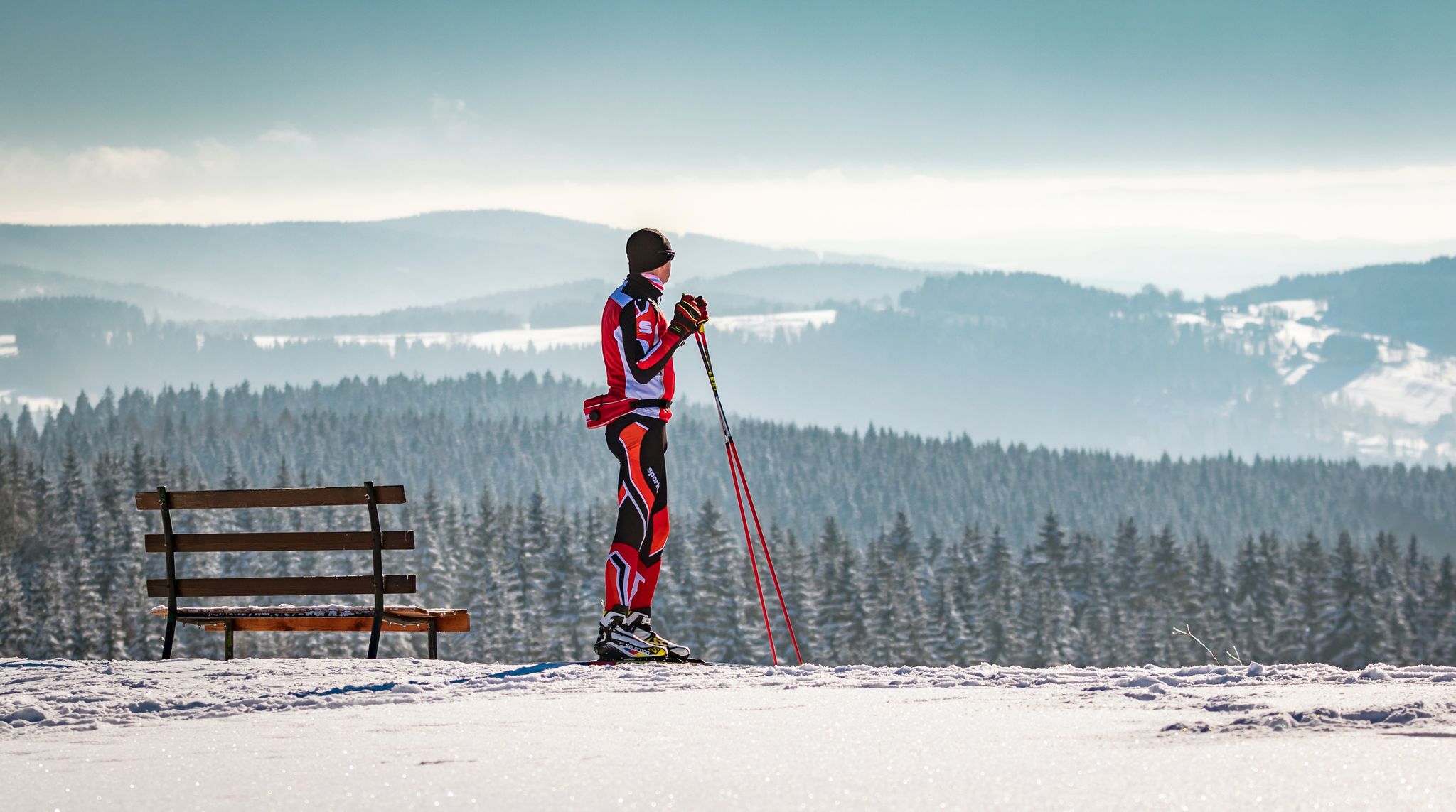
Let it flow! Cross-country skiing in the Ore Mountains

歴史と自然が出会う – エルツゲビルゲ=フォークトラント尾根道
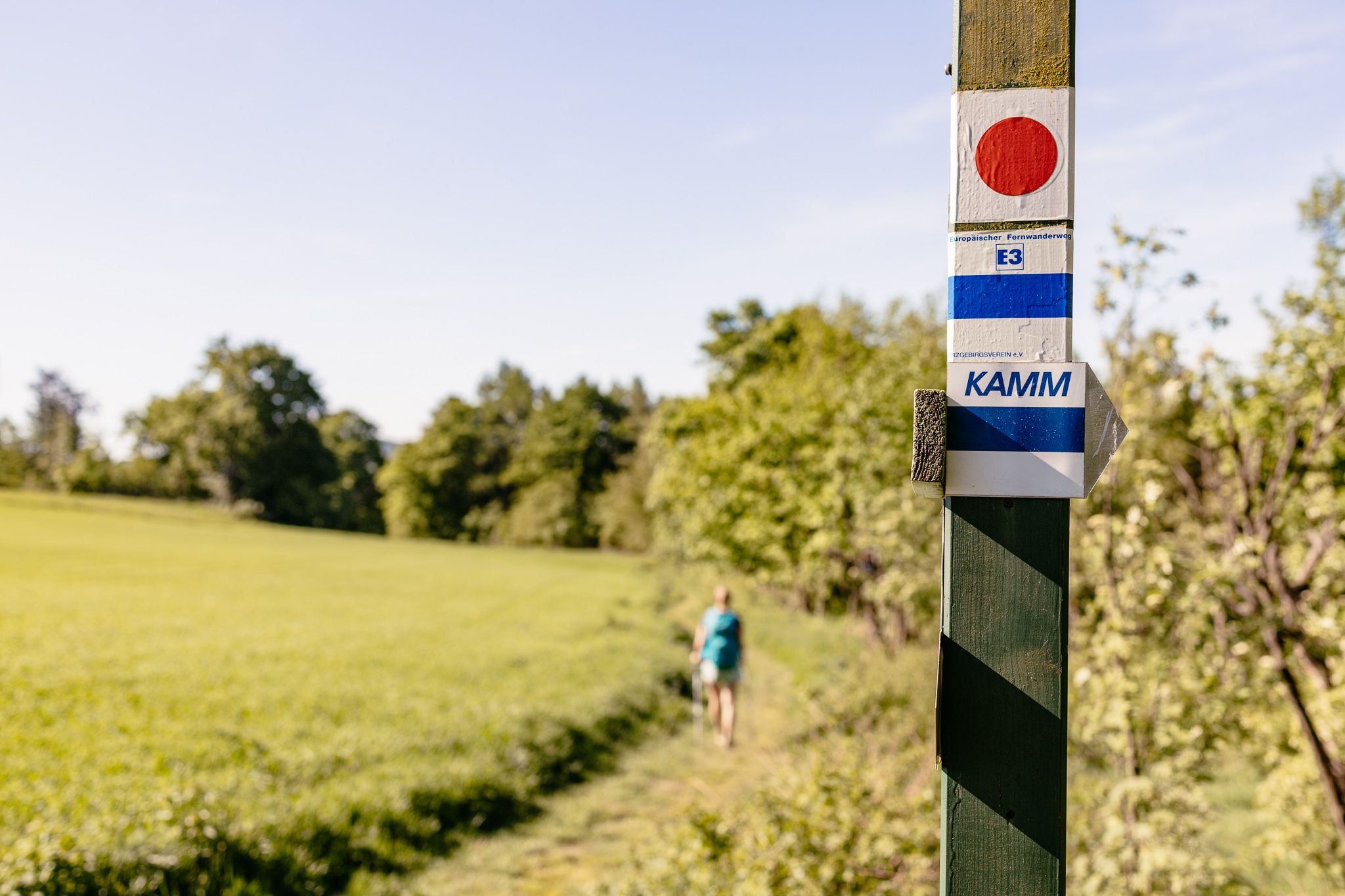
Der Kammweg Erzgebirge-Vogtland aus Sicht einer Bloggerin
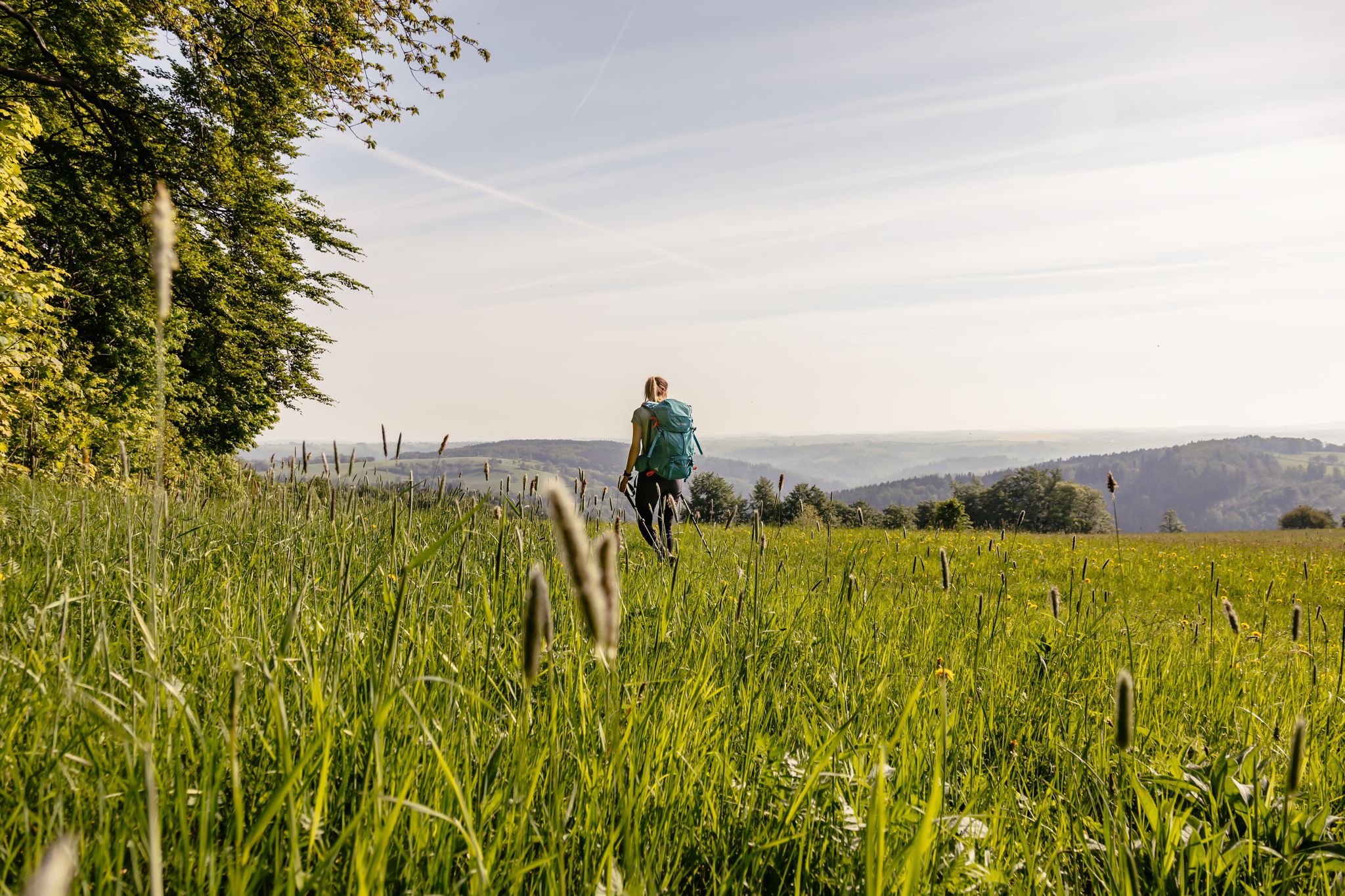
Fernwanderwege im Erzgebirge
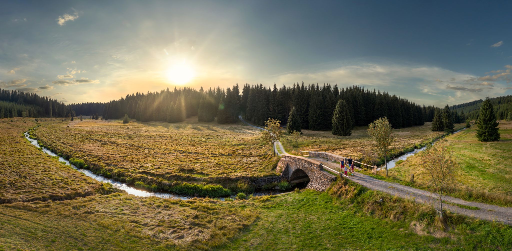
Wandertouren - Flusstäler & Talsperren
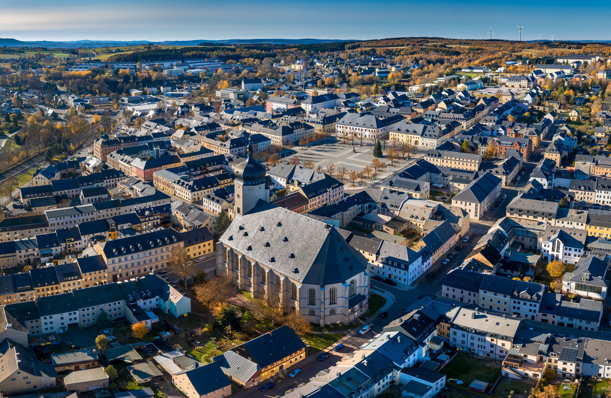
Wandertouren - "Glück Auf" im Welterbe
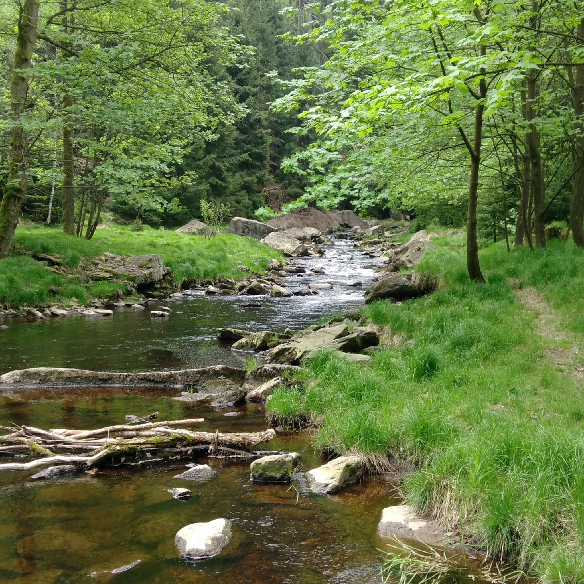
マリーエンベルクでのハイキング
マリーエンベルクでのサイクリング
マリーエンベルクでのの他の冒険


コミュニティからのヒント

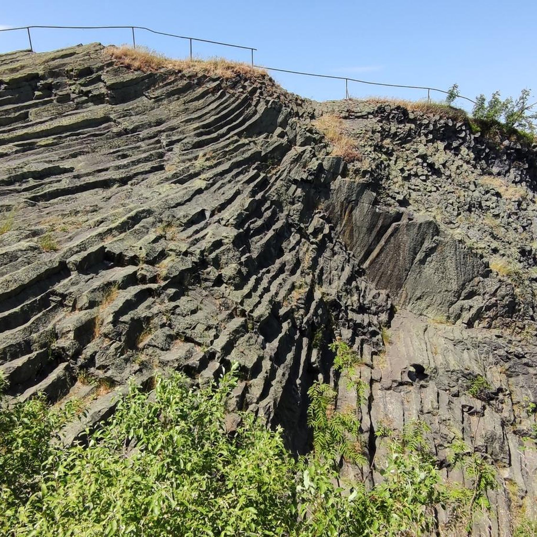
リングマウアーは、エルツ山脈のワイルドでロマンチックなシュヴァルツヴァッサー渓谷(ポバーシャウ/マリエンベルク近郊)にある、印象的で弓形の片麻岩の岩石層で、シュヴァルツェ・ポカウ川のすぐそばにそびえ立っています。
10
0


The Zschopau Gate, one of Marienberg's landmarks, was built as part of the town's fortifications after its founding between 1541 and 1560. The imposing tower, a rubble stone structure built on a square base, is the only remaining of the original five town gates. The large, round-arched gateway is faced with porphyry blocks, as is the pedestrian underpass to the southwest, which was added in 1956. In 1963, during renovation work, the gate sustained damage from tanks. In 1964, exhibition spaces for museum purposes were designed within the gatehouse, a project approved by the Institute for the Preservation of Historical Monuments. The damaged gate jambs were initially repaired with bricks, and later with dressed stone. To the southwest, a 30-meter-long and 2-meter-wide section of the town wall adjoins the gate. This section is reinforced on the town side with five blind arches and terminates in a transformer station, ingeniously constructed in 1914. Source: Wikipedia
5
0

It's no wonder the Teufelsmauer is so often photographed. It's located directly on the hiking trail and the Schwarzen Pockau, and it's a wonderful place to watch the climbers.
1
0

We now walk through the valley, the rocks rising up beside us. At the side of the path, we find the mouth of the Tiefen Blühend Glück tunnel. We get a view of the water again, a small path leading directly up to it. We now stand on a rock in the middle of the water. A short distance further, now directly along the water, we walk through this landscape, which nature has shaped here. The loud rush of the Schwarze Pockau river, the mountains around us, rustic and mystical, simply beautiful. We cross the river, the rocks rising before us like a giant. The large stones in the water give us an idea of its power. Here's the entire tour https://youtu.be/LYmwgx7Z0Lk
1
0

I can really recommend this area - so great and so interesting and varied.
0
0

Very helpful board, lots of interesting information.
0
0

komootモバイルアプリでインスピレーションを得よう


さらに探索
他の地域の最高のランニングトレイル & ルートを見てみましょう。
