The best MTB trails around Röhrig
4.8
(1394)
3,339
riders
359
rides
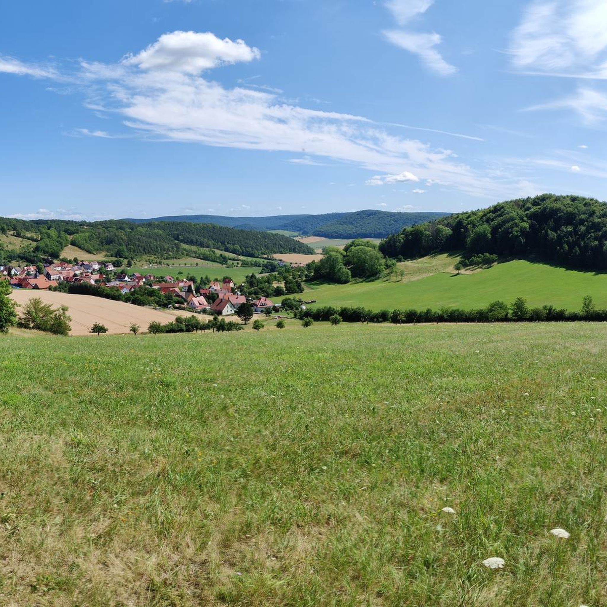
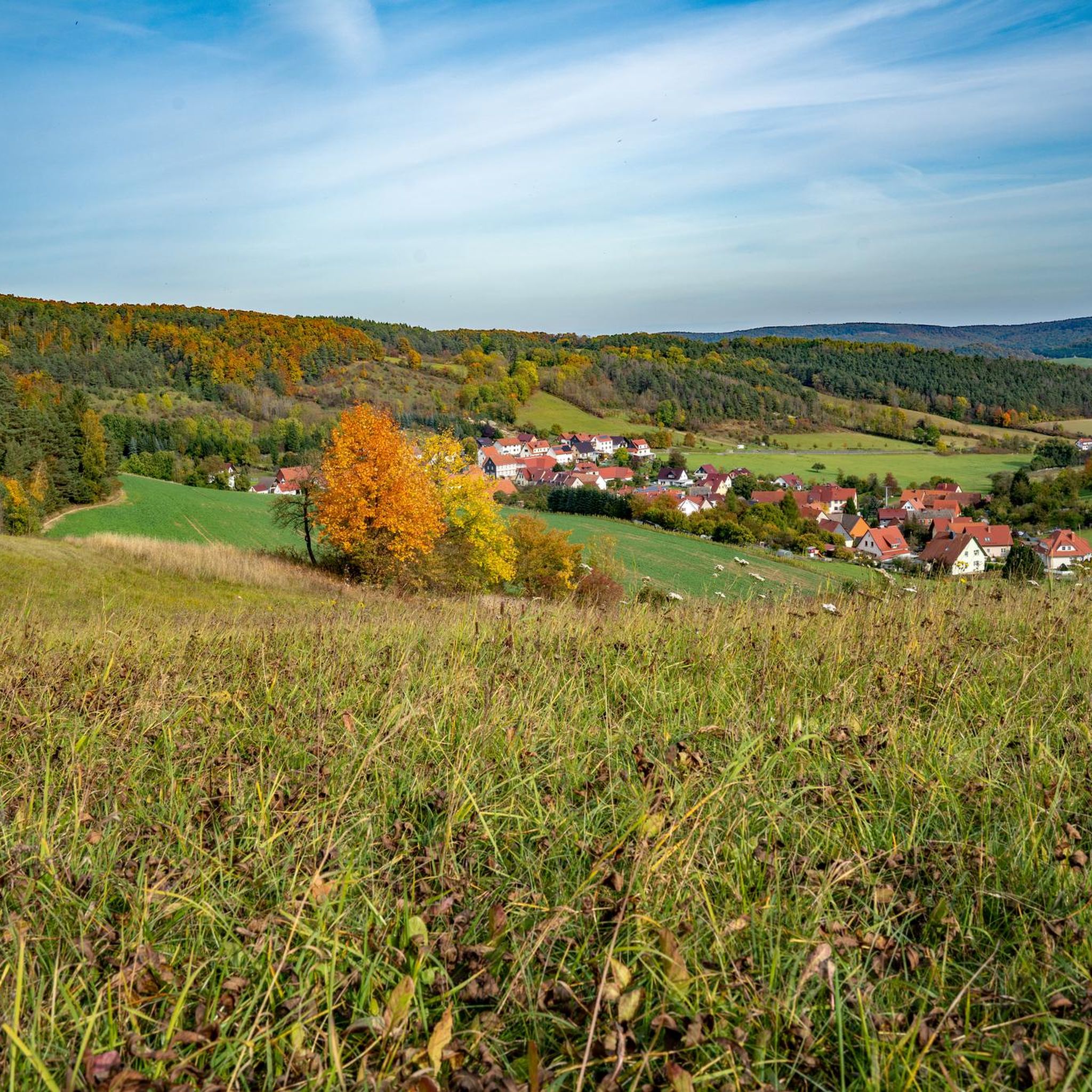
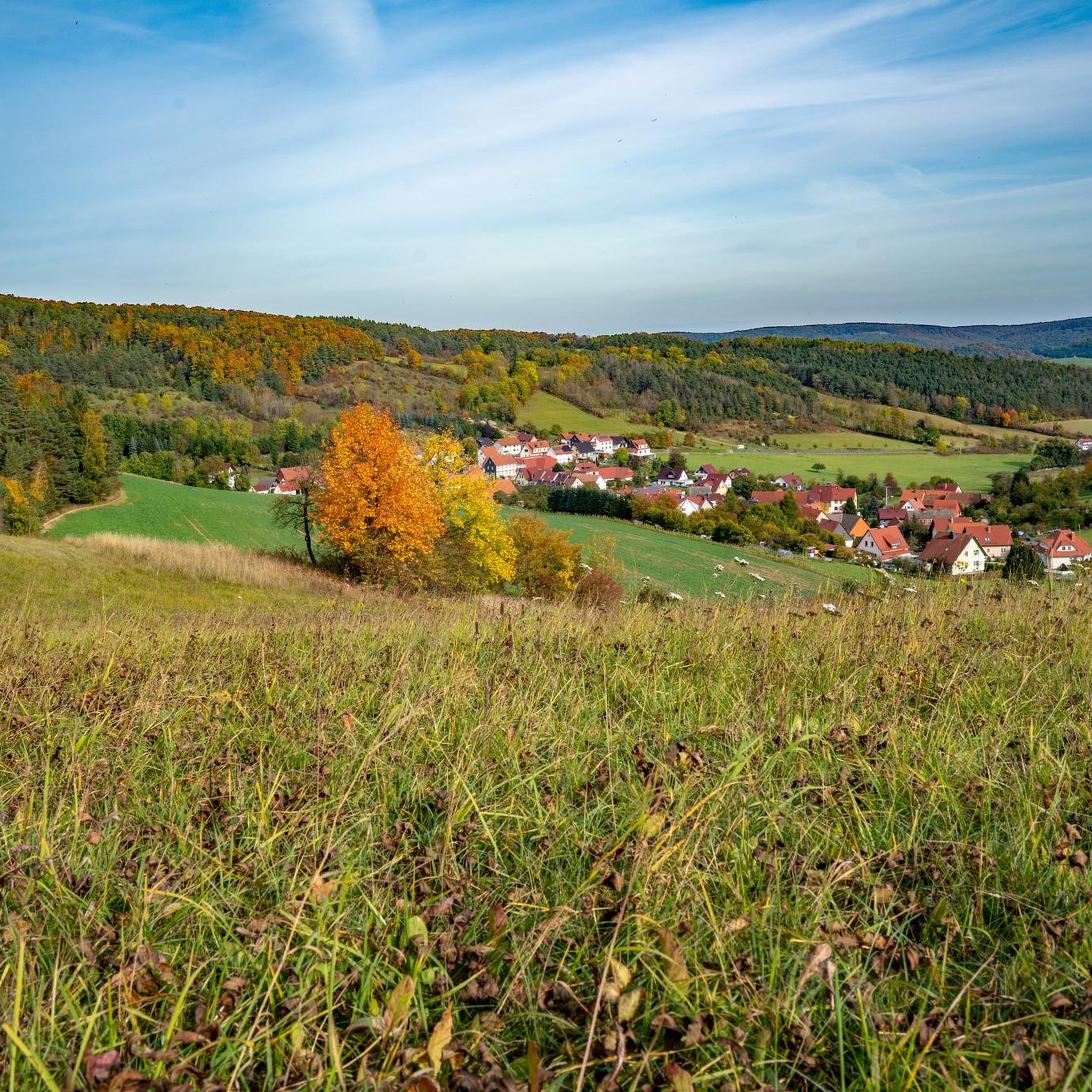
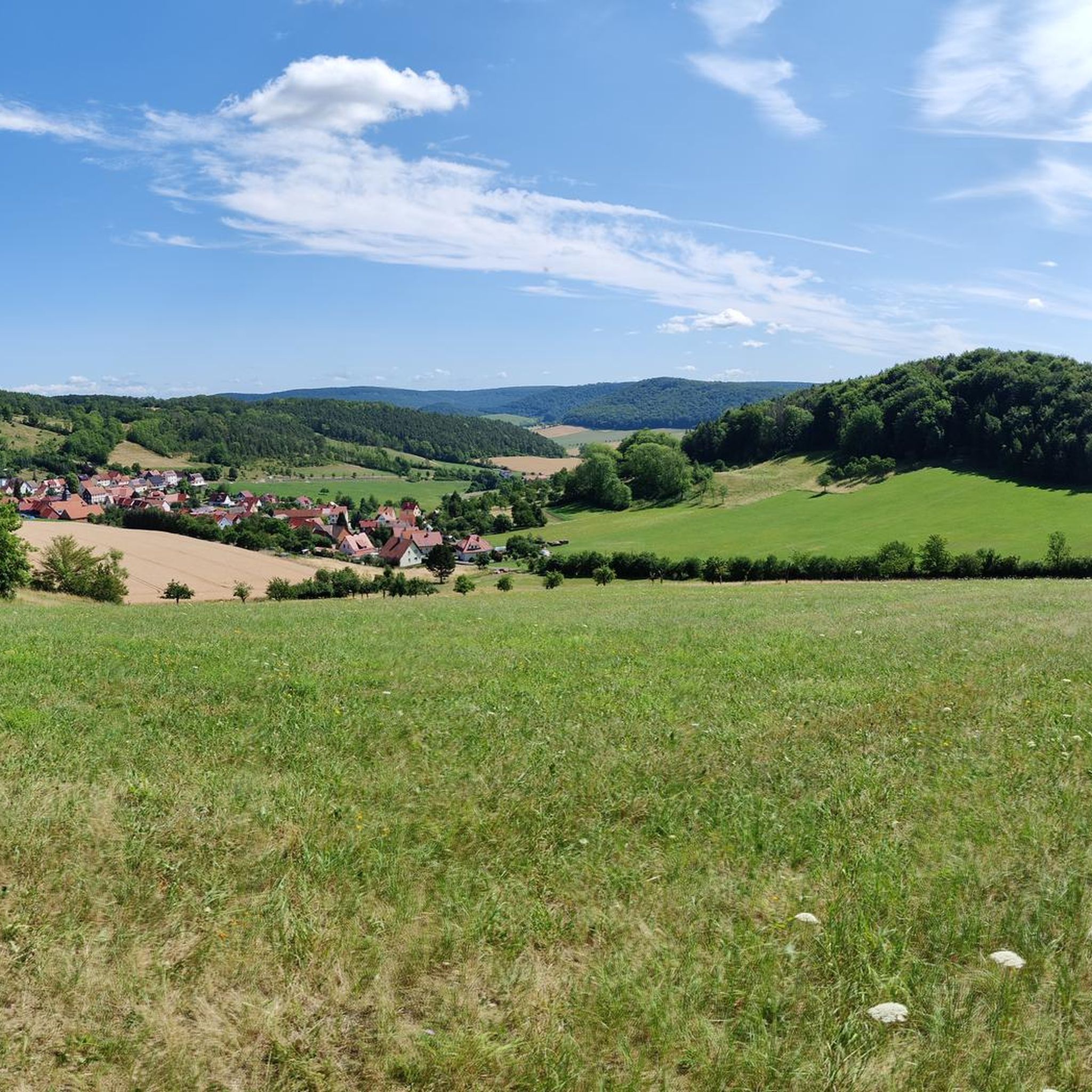
Mountain biking around Röhrig offers a diverse landscape characterized by rolling hills, dense woodlands, and elevated viewpoints. The region features varied terrain, including established cycle routes and paths leading to historical landmarks. Significant elevation changes are present on many routes, providing challenging climbs and rewarding descents.
Best mountain bike trails around Röhrig
- The most popular mountain bike trail is Leine-Heide Cycle Route – Oberrieden Railway Viaduct loop from Lenterode, a 25.9 miles (41.7 km) trail that takes 2 hours…
Last updated: September 25, 2026
5.0
(13)
38
riders
32.3km
02:16
480m
480m
Moderate mountain bike ride. Good fitness required. Advanced riding skills necessary.
4.9
(9)
24
riders
27.8km
02:07
520m
520m
Moderate mountain bike ride. Good fitness required. Suitable for all skill levels.

4.8
(9)
20
riders
43.3km
03:43
950m
950m
Hard mountain bike ride. Very good fitness required. Advanced riding skills necessary.
5.0
(7)
18
riders
41.9km
02:38
450m
450m
Moderate mountain bike ride. Good fitness required. Suitable for all skill levels.
4.4
(5)
24
riders
16.8km
00:52
60m
60m
Easy mountain bike ride. Great for any fitness level. Suitable for all skill levels.
Get access to more routes and recommendations from other explorers.
Already have an account?
Our route recommendations are based on thousands of hikes, rides, and runs completed by other people on komoot.
Start today with a free account
Your next adventure awaits.
Tips from the Community

The Kurfürstenstein commemorates the Eichsfeld's many centuries of belonging to the Electorate of Mainz. Specifically, Elector-Archbishop Friedrich Karl Josef von Erthal visited Heiligenstadt in 1777. The stone was erected in memory of this special event. There is a beautiful view of the town of Heilbad Heiligenstadt from up here.
4
0
The spot at the Dünkreuz with a rest area and shelter is a dreamily beautiful viewpoint with a super view over Heiligenstadt.
6
0
The Bear Trail is a beautiful path through the forest.
7
0

quite steep here, but the view is worth the effort
0
0

very well-maintained cycle path
0
0

From here you have a really beautiful view
2
0

The Leine cycle path is wonderful to cycle on.
0
0

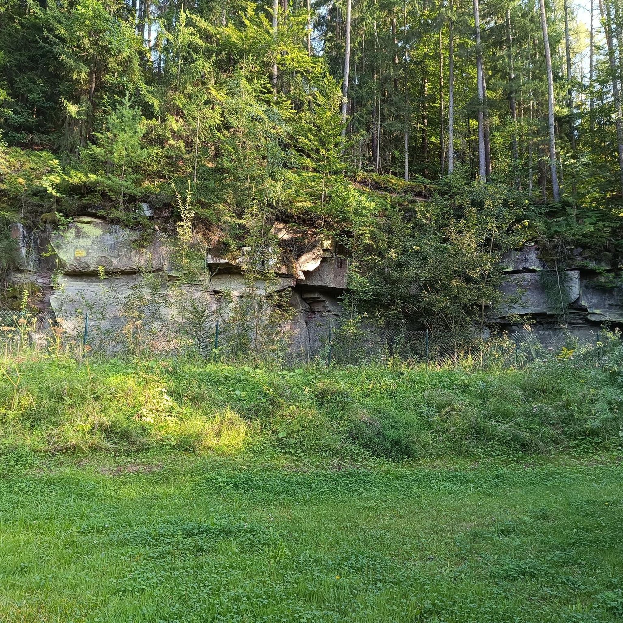
In the 1950s, lime was burned in this tower-like kiln, built of bricks and rounded to a height of approximately 10 meters. Most of the surrounding quarries are now overgrown. Due to its technical and historical significance, it is a cultural monument worthy of protection.
3
1
Frequently Asked Questions
How many mountain bike trails are available around Röhrig?
There are nearly 400 mountain bike trails around Röhrig, offering a wide range of options for all skill levels. The komoot community has explored over 390 routes in the region.
Are there easy mountain bike trails suitable for beginners in Röhrig?
Yes, Röhrig offers a good selection of easy mountain bike trails. You can find over 60 routes categorized as easy. An example is the Theodor Storm Statue – Rengelröder Warte loop from Wüstheuterode, which is 23.5 km long and features minimal elevation changes.
What is the best time of year for mountain biking in Röhrig?
The best time for mountain biking in Röhrig is typically from spring to autumn (April to October). During these months, the weather is generally milder, and the trails are in good condition. Summer offers longer daylight hours, while spring and autumn provide pleasant temperatures and vibrant scenery.
Are there any circular mountain bike routes around Röhrig?
Many of the mountain bike trails in Röhrig are designed as circular routes, allowing you to start and end at the same point. For instance, the moderate Dieteröder Cliffs Viewpoint – Chapel of Wüstheuterode loop from Lenterode is a 24.7 km circular trail offering scenic views.
What kind of views and scenery can I expect on mountain bike trails in Röhrig?
Mountain bike trails in Röhrig offer diverse scenery, including rolling hills, dense woodlands, and elevated viewpoints. You can expect expansive views of the surrounding landscape, historical landmarks, and natural features. The region is characterized by its mix of forested paths and open hills.
Are there any specific attractions or landmarks along the mountain bike routes?
Yes, many routes pass by interesting landmarks and natural attractions. For example, you can explore various caves like the Dwarf Cave or the Abri Walterstein I and Dreilochnadel. Some trails also offer views of historical sites such as Hanstein Castle.
What do other mountain bikers say about the trails in Röhrig?
The mountain bike trails in Röhrig are highly regarded by the komoot community, with an average rating of 4.8 out of 5 stars from over 1200 reviews. Riders often praise the varied terrain, the well-maintained paths, and the beautiful natural surroundings.
Are there any challenging mountain bike trails for experienced riders?
Absolutely. Röhrig features 42 difficult mountain bike trails for experienced riders seeking a challenge. A notable difficult route is the View of Röhrig – Hunter's Hut loop from Dietzenrode/Vatterode, which spans 42.2 km with significant elevation changes.
Are there mountain bike trails accessible by public transport in Röhrig?
While specific public transport access points vary by route, Röhrig and its surrounding villages are generally connected by local bus services. It's advisable to check local transport schedules for specific stops near your chosen trailheads to plan your journey effectively.
Can I find mountain bike trails with cafes or refreshment stops along the way?
Many routes in the Röhrig region pass through or near villages where you can find cafes, restaurants, or guesthouses for refreshments. While not every trail has a dedicated cafe directly on the path, planning your route with komoot allows you to identify nearby amenities for a break.
What is the typical length of mountain bike trails in Röhrig?
The lengths of mountain bike trails in Röhrig vary significantly. You can find shorter routes, such as the 17.8 km Unharnessed on the Höhenberg – View of Hanstein Castle loop from Vatterode, as well as longer, more demanding trails exceeding 40 km, like the Leine-Heide Cycle Route – Oberrieden Railway Viaduct loop from Lenterode.
Most popular attractions around Röhrig

Get inspired with the komoot mobile app


Explore more
Browse the best MTB trails in other regions.
