라 툴레 최고의 사이클링 경로
4.5
(228)
7,903
자전거 타는 사람
19
라이딩
라 툴레 최고의 사이클링 경로를 따라 지역을 둘러볼까요? 라 툴레에서 가장 멋진 자전거 라이딩 장소 중에서 가장 마음에 드는 라이딩을 선택해보세요.
마지막 업데이트: 10월 21, 2026
5.0
(5)
178
자전거 타는 사람
26.6km
02:10
780m
780m
어려운 자전거 타기. 우수한 체력 필요. 투어 중 라이딩하기 어려운 비포장 구간이 있을 수 있음.
5.0
(4)
178
자전거 타는 사람
20.5km
01:39
630m
630m
어려운 자전거 타기. 우수한 체력 필요. 대부분 포장된 노면.

5.0
(5)
71
자전거 타는 사람
21.6km
01:53
630m
630m
어려운 자전거 타기. 우수한 체력 필요. 대부분 포장된 노면.
56
자전거 타는 사람
29.3km
03:29
1,230m
1,230m
어려운 자전거 타기. 우수한 체력 필요. 대부분 포장된 노면.
5.0
(1)
64
자전거 타는 사람
23.8km
02:12
760m
760m
어려운 자전거 타기. 우수한 체력 필요. 대부분 포장된 노면.
더 다양한 경로와 다른 탐험가들의 추천을 살펴보세요.
이미 komoot 계정이 있나요?
투어 추천은 다른 사람들이 komoot에서 완료한 수천 개의 활동을 바탕으로 구성되어 있습니다.
오늘 무료 계정으로 시작하세요
다음 모험이 기다리고 있어요.
라 툴레 주변 인기 장소
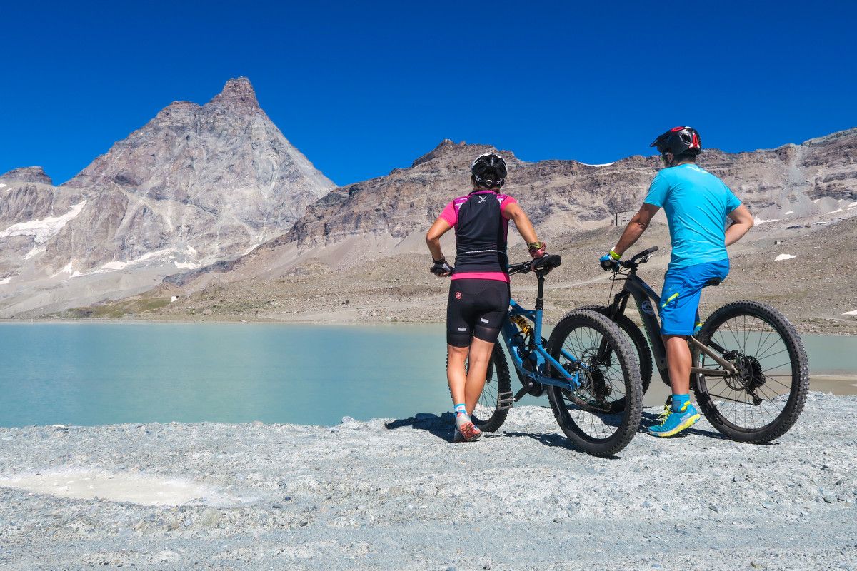
The Aosta Valley by MTB – between valleys and majestic peaks
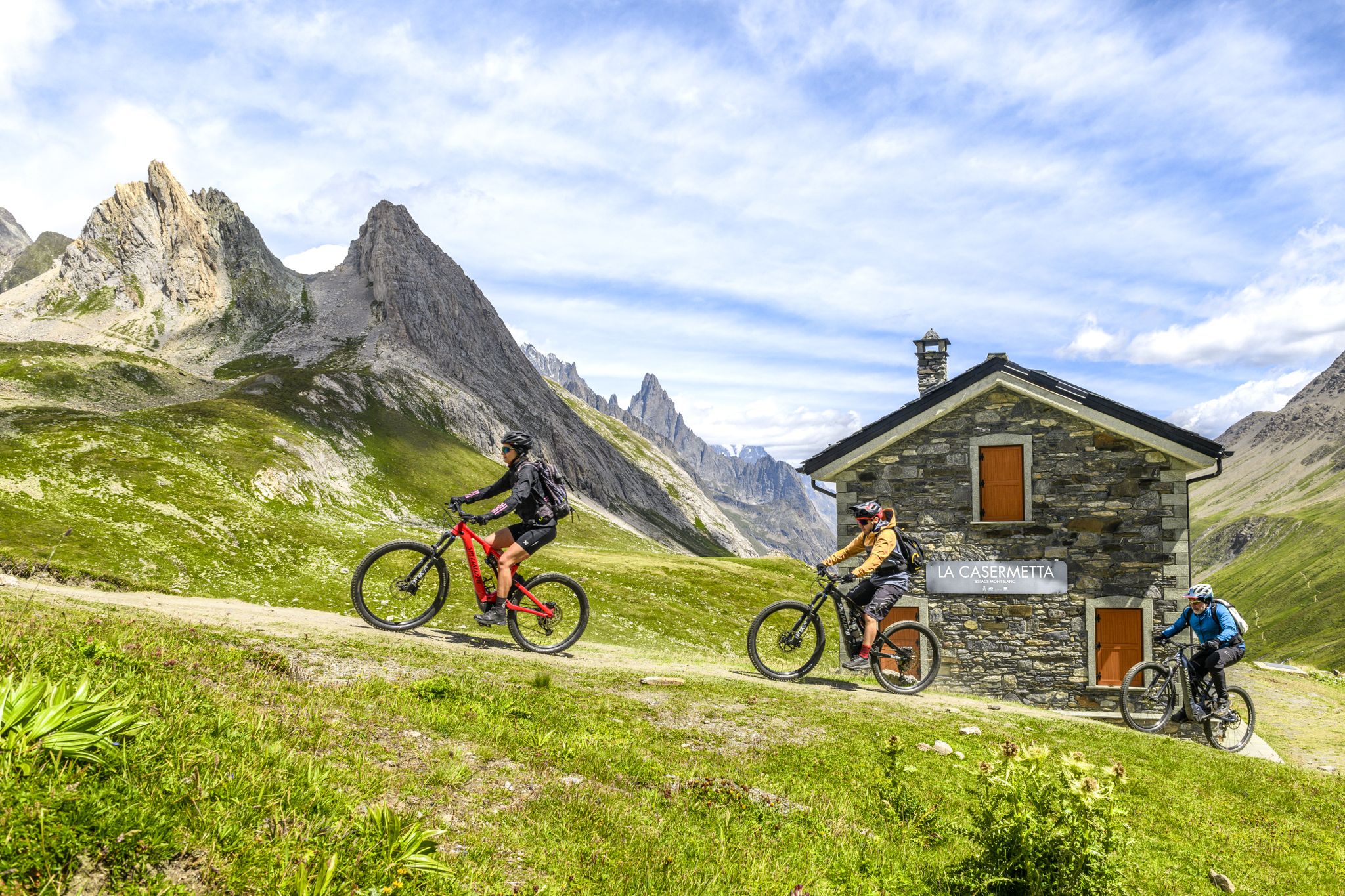
The Aosta Valley by e-MTB – alpine landscapes, castles and glaciers
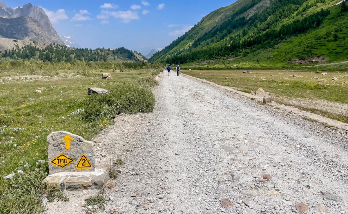
Alta Via n. 2 of the Aosta Valley — high peaks and beautiful valleys in Italy
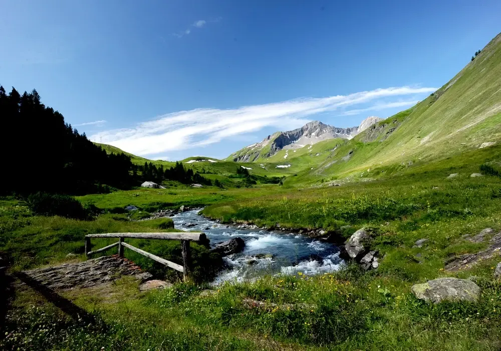
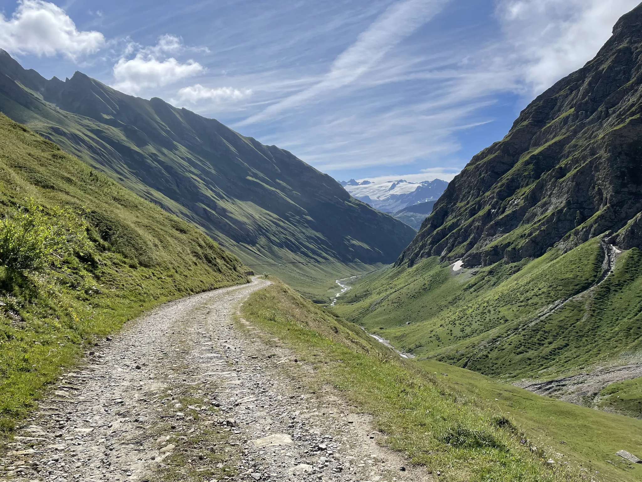
Hiking in La Thuile – the Open-Air Museum
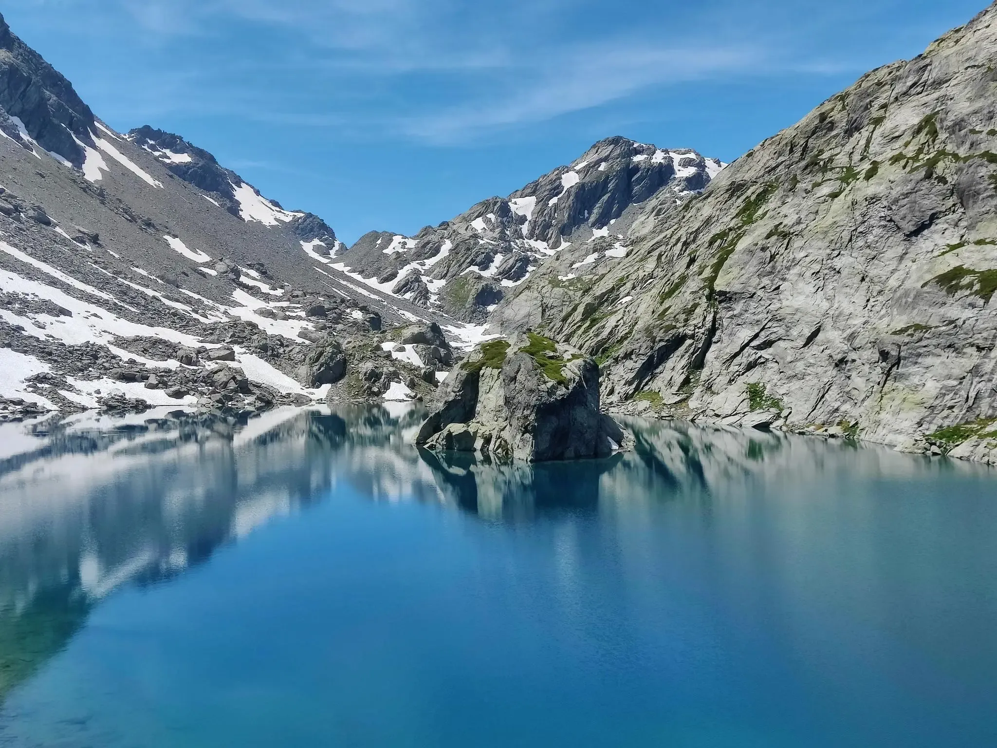
La Thuile Infinity Trekking – eight routes blending history and nature
La Thuile Infinity Trekking — 4 routes at altitude with the chairlift
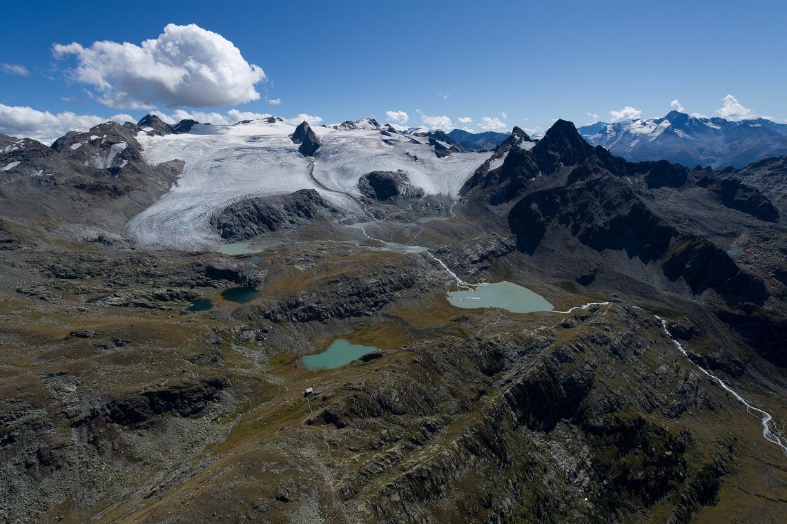
La Thuile Infinity Trekking – 11 routes to discover the Ruitor glacier
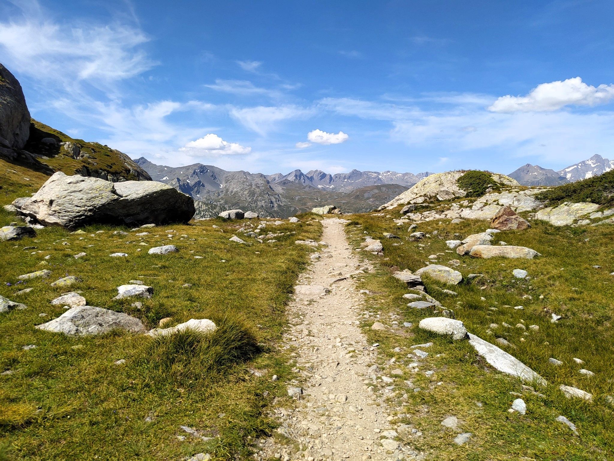
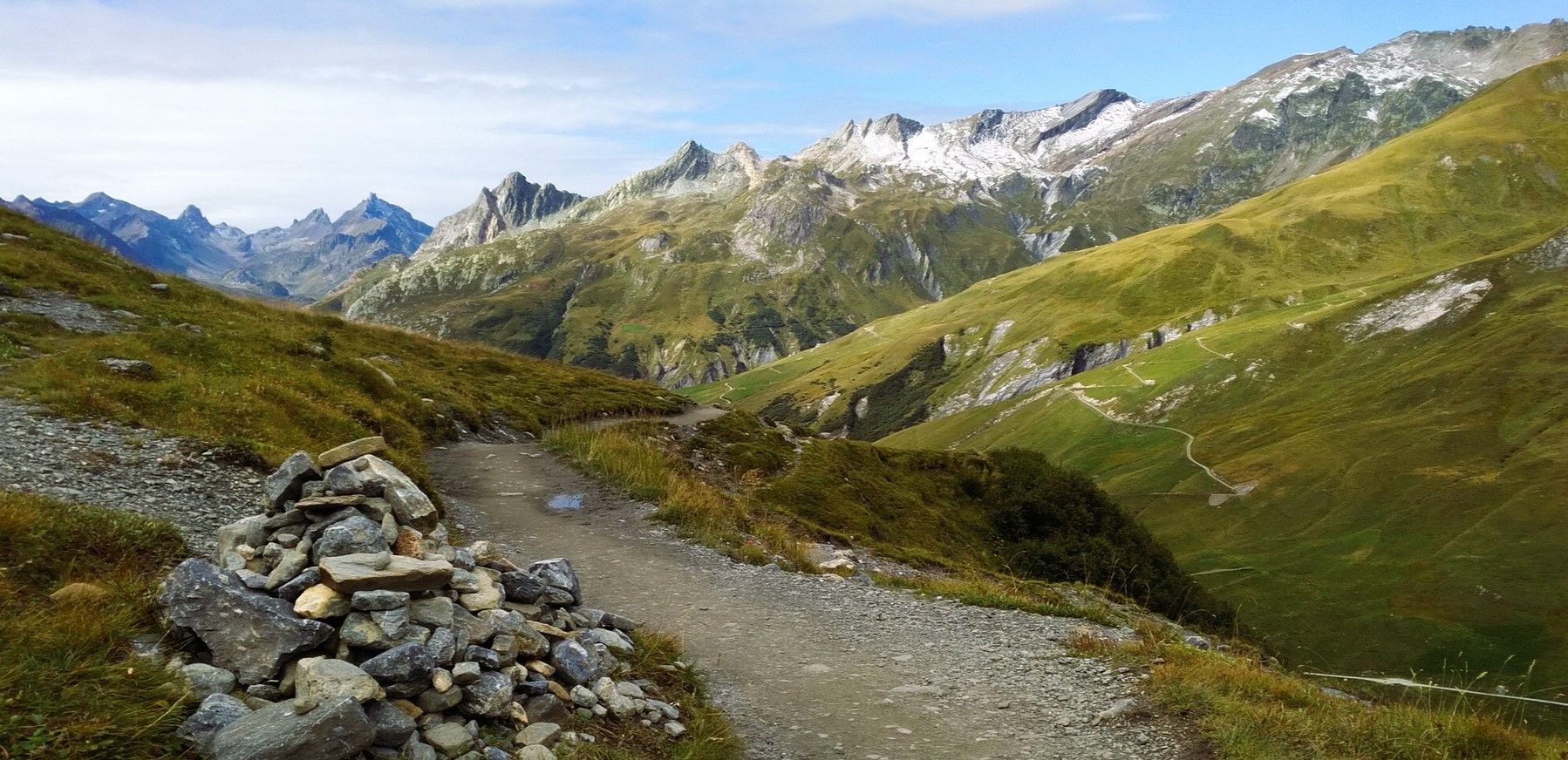
천국에서 달리기 - Valle d'Aosta의 Alta Via 2
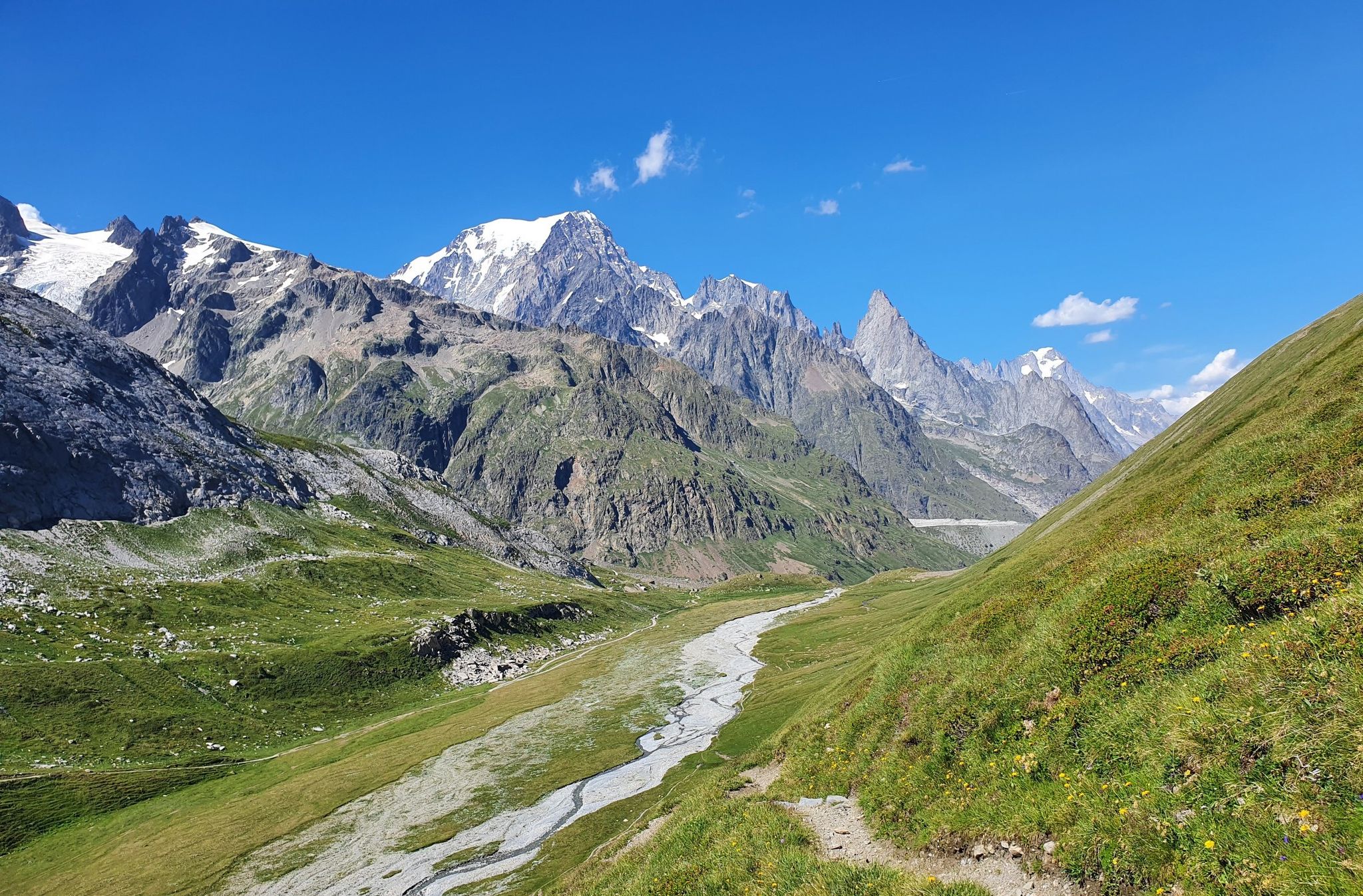
몽블랑 산기슭 - 쿠르마유어 주변을 돌아다니다
이탈리아의 높은 고대와 아름다운 계곡 - 아오스타 계곡의 알타 비아 트레일
라 툴레 주변의 다른 모험


커뮤니티 팁


그레이트 세인트 버나드 개는 원래 그레이트 세인트 버나드에서 왔지만 이곳에서도 길들여졌으며 관광객을 끌어들이는 자석이 될 것입니다.
0
0

모르제(Morgex)에서: 힘들고 끊임없는 오르막길입니다. 좋은 군용 도로를 따라 매우 일정한 경사로 올라가므로, 일단 자신의 리듬을 찾으면 너무 힘들지 않게 정상까지 갈 수 있습니다. 프레-생-디디에(Pré-Saint-Didier)에서: 라 튈(La Thuile)까지는 상당히 쉬운 오르막길입니다(경사도 4-5%). 거기서부터는 힘든 오르막길이 시작됩니다(모르제 쪽보다는 덜하지만). 여름철에는 교통량(양쪽 모두 하산 시 매우 주의)과 남향으로 인해 오후에는 매우 더울 수 있으니 주의하십시오.
6
0

A beautiful lookout point, a balcony overlooking Mount Blanc. It can be reached from the road that starts next to the restaurant on San Carlo Hill for 1.5 km. The road is unpaved, but with a little care, it's also passable on a racing bike.
0
0

Starting point for the hike, big advantage on the way back is a bar restaurant, waiting for you for a cold drink or an ice cream. (They don't take credit cards)
0
0

The “Peylet” pine forest in La Thuile is not just a picnic area, it is the heart of the town. A suggestive place, an environment where you can relax and be lulled by the sweet and ancient song of the waters of the Dora del Rutor, the chirping of birds and the squeaking of countless squirrels. Inside it is possible to walk in complete safety, stop at the 52 tables scattered around the area and for the more curious you can stop at various information panels that tell the story of the flora and fauna of the place. 2 and a half hectares, with 14 waste collection points where you can have a perfect relaxing and regenerating picnic
0
0
A great Aosta Valley classic; the climb itself isn't particularly difficult, but be careful not to underestimate the wind that often blows strongly from France, making the 12 km from La Thuile to the pass much more challenging than the steepness suggests. The landscape is beautiful and evocative: from the iconic eight hairpin bends that allow you to leave Pré-Saint-Didier behind, you enter the cool valley that leads to La Thuile. After passing the ski resort, you quickly gain altitude with long straights, then enter the forest and conclude the climb in a vast alpine meadow.
7
0

Don't hesitate to go to the Italian side: the coffee is much better.
2
0


더 살펴보기
다른 지역의 최고의 자전거 경로를 살펴보세요.
