칼리스 알 코르노빌리오 최고의 사이클링 경로
4.2
(259)
3,339
자전거 타는 사람
140
라이딩
사이클링 투어링은 칼리체 알 콘노빌리오 주변의 언덕, 초원, 자연 샘이 특징인 리구리아 아펜니노 산맥의 풍경 속을 달리는 코스를 제공합니다. 이 지역은 광활한 참나무 숲과 고대 노새길이 있는 시골 지역이 특징입니다. 마그라 강 계곡은 평화로운 사이클링 경험을 선사하며, 수많은 산봉우리는 도전적인 오르막길을 제공합니다. 이 지역은 내륙에 위치하여 사이클링 투어링을 위한 다양한 지형을 제공합니다.
칼리체 알 콘노빌리오 주변 최고의 사이클링 투어링 코스
- 가장 인기 있는 사이클링 투어링 코스는 룬넨세 운하 자전거길 – 볼라노 출발 룬넨세 운하 자전거길 루프로, 32.8km(20.4마일) 길이이며 완료하는…
마지막 업데이트: 8월 23, 2026
4.0
(1)
33
자전거 타는 사람
38.2km
02:25
400m
400m
보통 자전거 타기. 좋은 체력 필요. 대부분 포장된 지면. 실력과 관계없이 누구나 갈 수 있음.
5.0
(1)
14
자전거 타는 사람
31.4km
02:48
860m
860m
어려운 자전거 타기. 우수한 체력 필요. 투어 중 자전거를 끌고 가야 하는 구간이 있을 수 있음.

무료 회원 가입
5.0
(1)
14
자전거 타는 사람
44.4km
04:37
1,240m
1,240m
어려운 자전거 타기. 우수한 체력 필요. 대부분 포장된 지면. 실력과 관계없이 누구나 갈 수 있음.
5.0
(2)
9
자전거 타는 사람
13.5km
00:48
80m
80m
초급용 자전거 라이딩. 모든 체력 수준에 적합. 대부분 포장된 지면. 실력과 관계없이 누구나 갈 수 있음.
11
자전거 타는 사람
43.0km
02:40
420m
420m
보통 자전거 타기. 좋은 체력 필요. 대부분 포장된 지면. 실력과 관계없이 누구나 갈 수 있음.
더 다양한 경로와 다른 탐험가들의 추천을 살펴보세요.
무료 회원 가입
이미 komoot 계정이 있나요?
투어 추천은 다른 사람들이 komoot에서 완료한 수천 개의 활동을 바탕으로 구성되어 있습니다.
오늘 무료 계정으로 시작하세요
다음 모험이 기다리고 있어요.
로그인 또는 가입하기
커뮤니티 팁


The name Calice al Cornoviglio combines two distinctive elements of the village: "Calice," of uncertain origin but perhaps derived from the Latin calix (cup), referring to the site's concave shape, and "Cornoviglio," the mountain (561 m) that overlooks the village and lends its name to the entire ridge. This toponym appears in medieval documents and recalls the village's ancient connection with the surrounding Apennine territory. Calice was long ruled by the Malaspina dello Spino Secco family, who built a strategic castle there, documented since the 11th century and modified several times over the centuries. Today, the fortress houses the Diocesan Museum of Sacred Art and the Chestnut Documentation Center, two testimonies to the profound intertwining of history, spirituality, and the territory's resources. A short distance away is the parish church of Santa Maria Lauretana, an elegant 18th-century Baroque building with exquisite decorations and a polychrome marble high altar. The village comes alive throughout the year with traditional events such as the Feast of Our Lady of Loreto (September), the Chestnut Festival (October) and various summer festivals, which highlight the historical and cultural roots of the place.
0
0
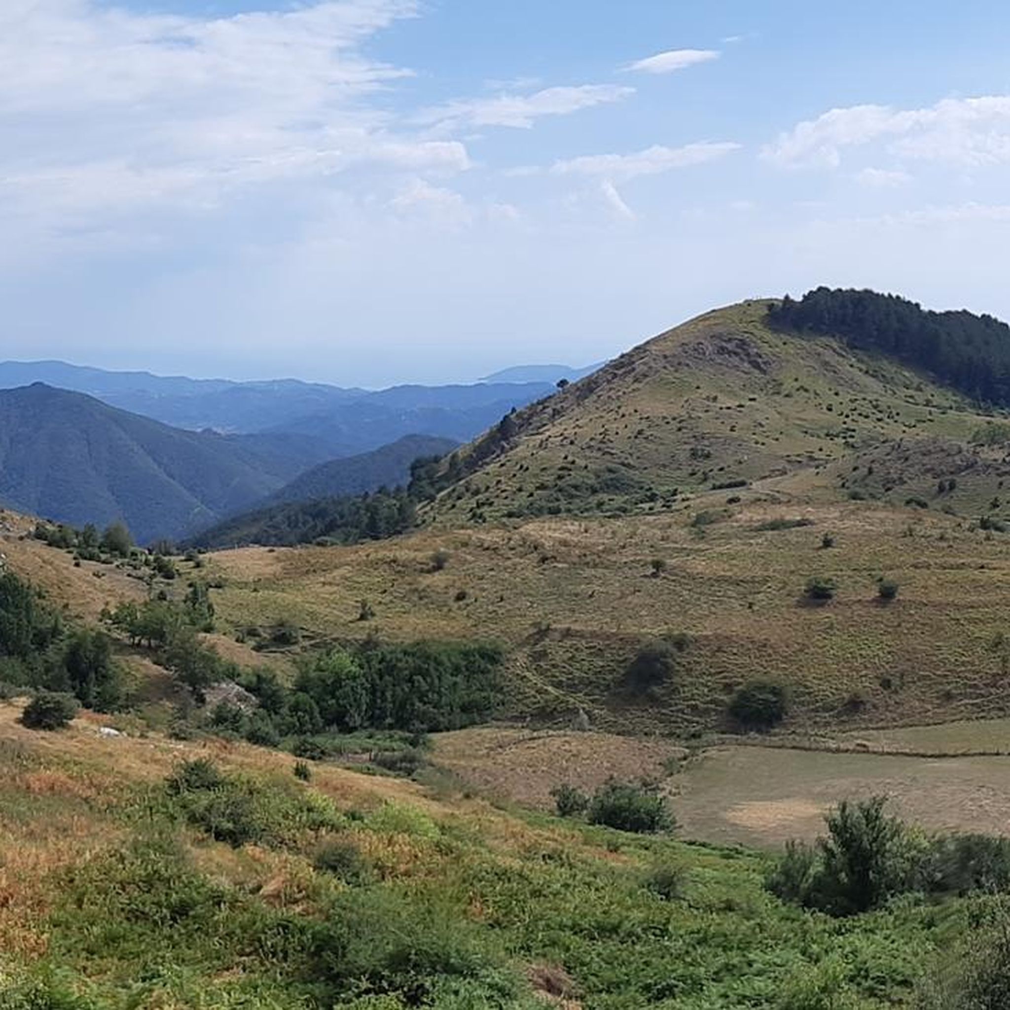
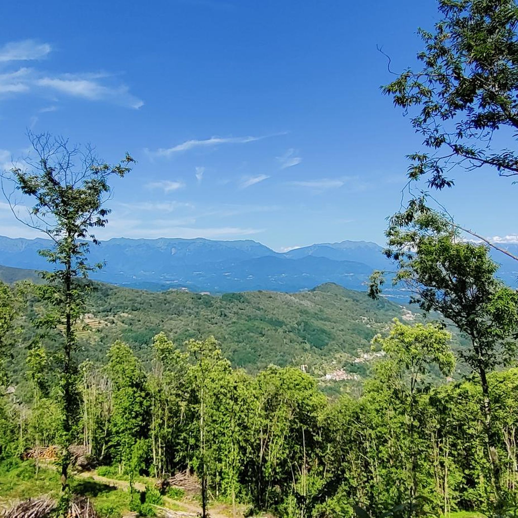
Passo Alpicella is located at 710m above sea level and is part of the 42nd stage of the Alta Via dei Monti Liguri. It is located on the watershed ridge between Val di Vara and Valle del Magra, offering open views that on clear days reach the Apuan Alps and the Gulf of Poets.
0
0
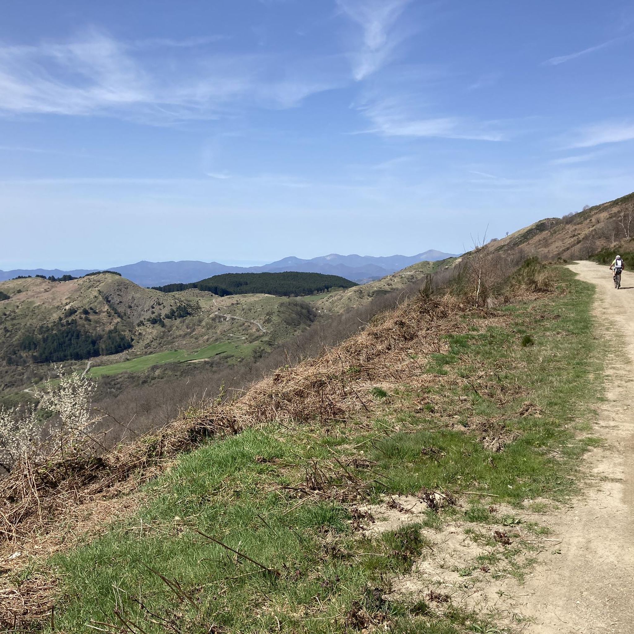
The dirt road that connects the Alpicella Pass to the Valico dei Solini follows the ridge that separates the Val di Vara from the Valle del Magra, offering truly suggestive views on both sides. The surface is mostly hard and compact, and does not present any particular cycling problems. Only in some short sections do you encounter loose sections, with stones that are also quite large, but still easily surmountable without significant technical difficulties. The difference in height is limited, which makes this route pleasant and rideable in both directions.
0
0
The dirt road that connects the hamlet of Bagatello to Valico dei Solini follows the route of the 43rd stage of the Alta Via dei Monti Liguri (Ceparana–Valico dei Solini) and also partly coincides with a segment of the Lunigiana Gravel. The route is easy to ride: the surface is largely compact and stable, ideal for gravel and MTB. Some short sections have a slightly more unstable surface, with loose gravel or uneven terrain, but overall the ride is smooth and pleasant, even uphill. The natural setting is very suggestive, with wooded sections and open views towards the Val di Vara.
0
0
During the Second World War, the Pra Bon area, located in the mountainous territory of the Municipality of Zeri (Massa-Carrara), played a strategic role in the supply network organized by the Allies for the partisan formations active in the Ligurian-Tuscan-Emilian Apennines. The location, a high grassy expanse located near the Foce di Prabono, was used as a launch field for materials intended for the liberation struggle. Due to its isolated position, difficult to access by land but visible from the sky and large enough to receive airdrops, Pra Bon was ideal for this purpose. Allied aircraft — generally taking off from southern Italy or from bases in Corsica — carried out night airdrops of weapons, ammunition, food, medicines and radio equipment intended for the partisan detachments operating in the area. The materials were parachuted and collected on site by the partisan brigades, who then took care of their distribution and protection. The operations were not without risks. The area was subject to continuous roundups by Nazi-Fascist forces, aware of the logistical importance of those places. In particular, on August 3, 1944, near the nearby Monte Picchiara, a violent clash took place between partisan forces and German troops during one of these roundups. The toponym "Pra Bon" or "Pra Bono", which means "good meadow" in the local dialect, still evokes the memory of that period: from a place of transhumance and summer pasture, it was transformed for a few crucial months into a clandestine hub of the Resistance, a meeting point between the mountains of Lunigiana and the liberated skies.
0
0

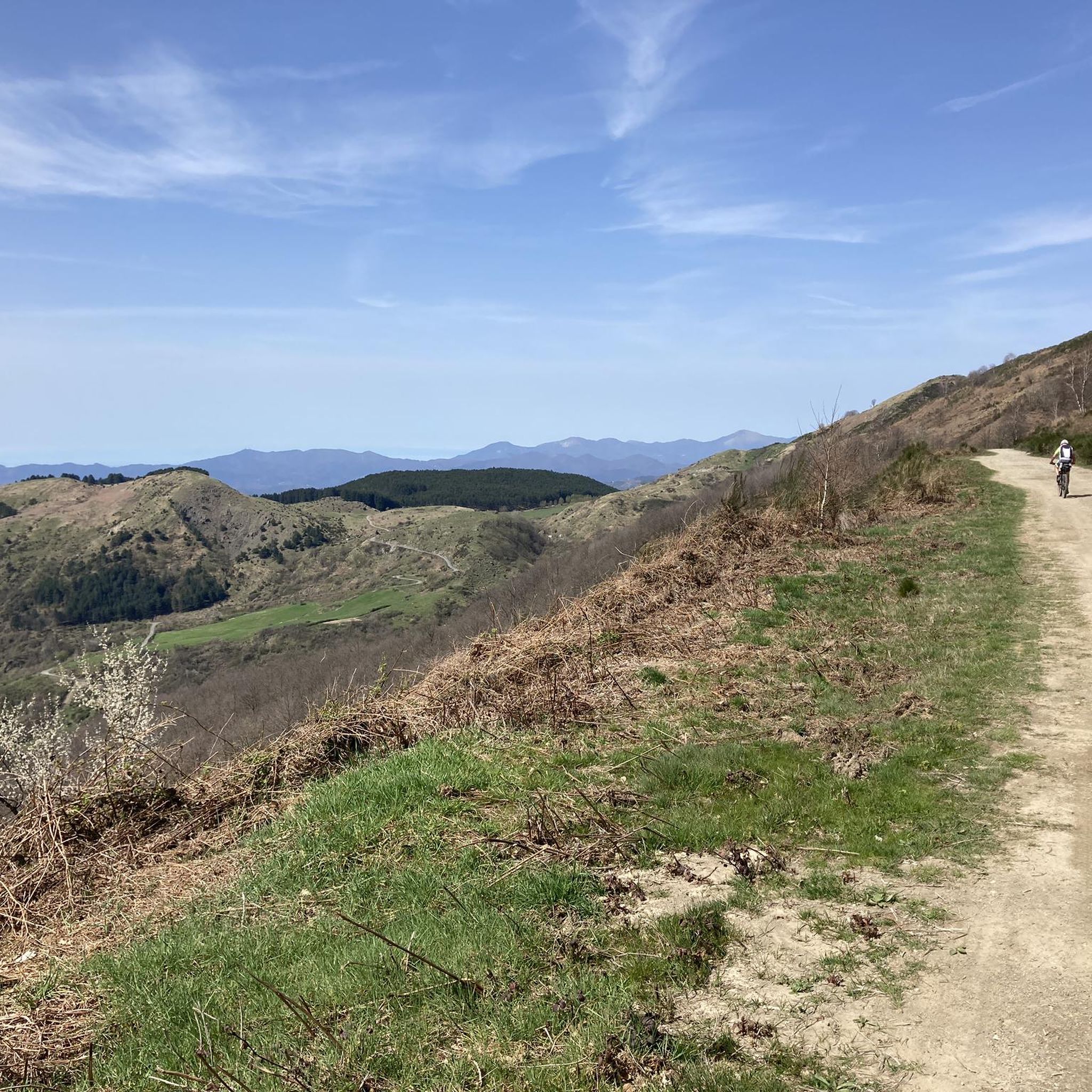
Here the dirt road runs along the ridge of the mountains between the Vara Valley and the Magra Valley
0
0
The Alta Via dei Monti Liguri unites in a single long trekking itinerary the paths of the peaks of the Apennines from Val di Vara to Val Nervia, connecting the existing regional parks from Ceparana to Ventimiglia. The stretch we walked starts near the medieval village of Bolano and first climbs to the Solini pass and then reaches the Apicella pass and from there goes back up to the Casoni pass. Continuing on the ridge it touches the slopes of Mount Cornovigilio and the Rastrello and Calzavitello passes.
0
0
칼리스 알 코르노빌리오 주변에서 가장 인기 있는 명소


더 살펴보기
다른 지역의 최고의 자전거 경로를 살펴보세요.
