지나고 최고의 사이클링 경로
4.1
(20)
391
자전거 타는 사람
22
라이딩
지나고 최고의 사이클링 경로를 따라 지역을 둘러볼까요? 지나고에서 가장 멋진 자전거 라이딩 장소 중에서 가장 마음에 드는 라이딩을 선택해보세요.
마지막 업데이트: 10월 2, 2026
21
자전거 타는 사람
40.5km
03:09
1,040m
1,040m
어려운 자전거 타기. 우수한 체력 필요. 대부분 포장된 지면. 실력과 관계없이 누구나 갈 수 있음.
5.0
(1)
18
자전거 타는 사람
32.4km
02:23
670m
670m
어려운 자전거 타기. 우수한 체력 필요. 대부분 포장된 지면. 실력과 관계없이 누구나 갈 수 있음.

1.0
(1)
10
자전거 타는 사람
35.7km
02:24
570m
570m
어려운 자전거 타기. 우수한 체력 필요. 대부분 포장된 지면. 실력과 관계없이 누구나 갈 수 있음.
7
자전거 타는 사람
35.2km
03:23
870m
870m
어려운 자전거 타기. 우수한 체력 필요. 대부분 포장된 지면. 실력과 관계없이 누구나 갈 수 있음.
5.0
(3)
8
자전거 타는 사람
45.3km
03:35
1,300m
1,300m
어려운 자전거 타기. 우수한 체력 필요. 대부분 포장된 지면. 실력과 관계없이 누구나 갈 수 있음.
더 다양한 경로와 다른 탐험가들의 추천을 살펴보세요.
이미 komoot 계정이 있나요?
투어 추천은 다른 사람들이 komoot에서 완료한 수천 개의 활동을 바탕으로 구성되어 있습니다.
오늘 무료 계정으로 시작하세요
다음 모험이 기다리고 있어요.
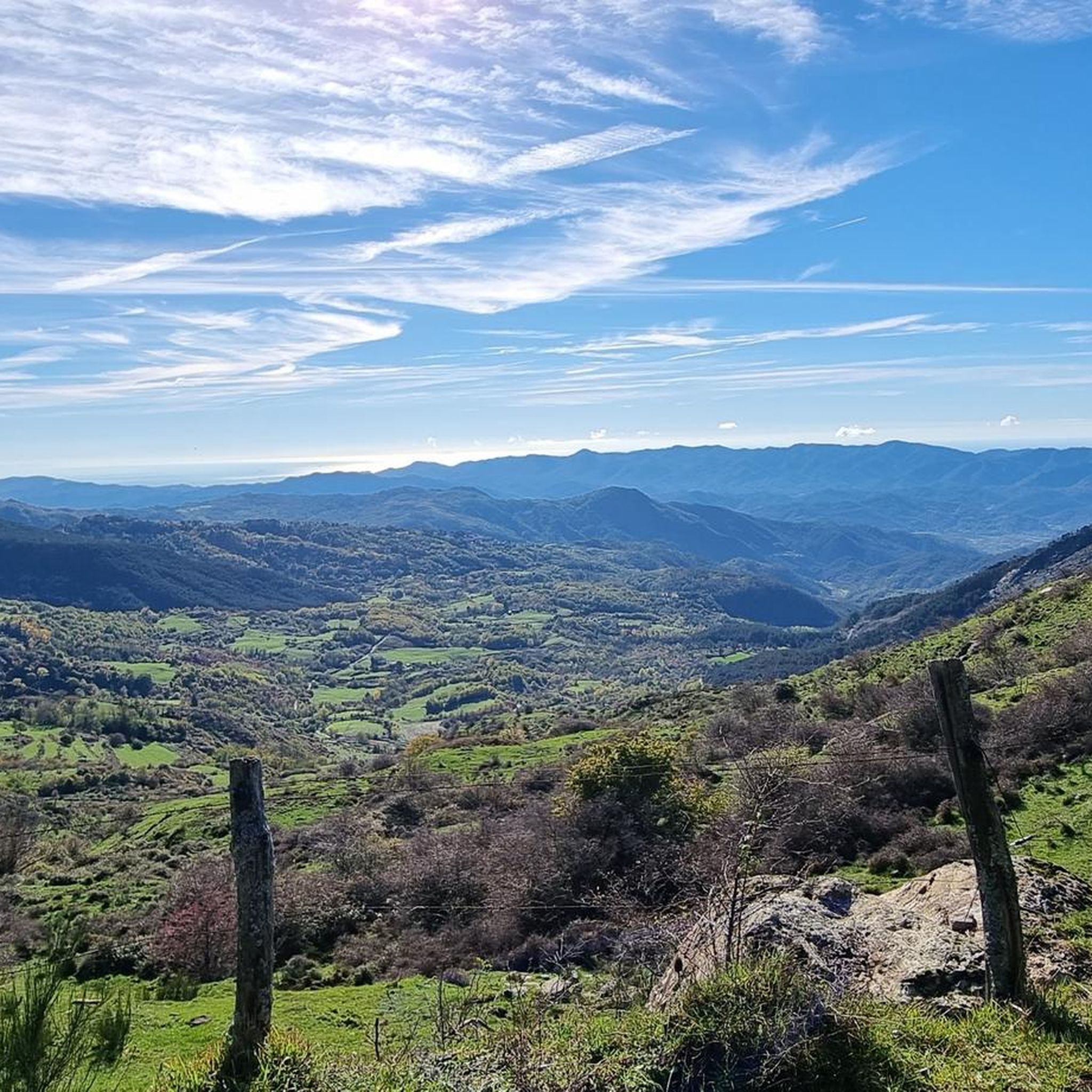
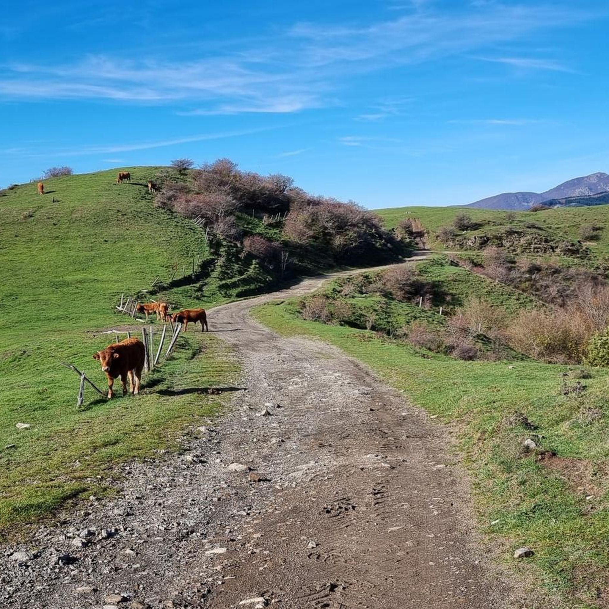
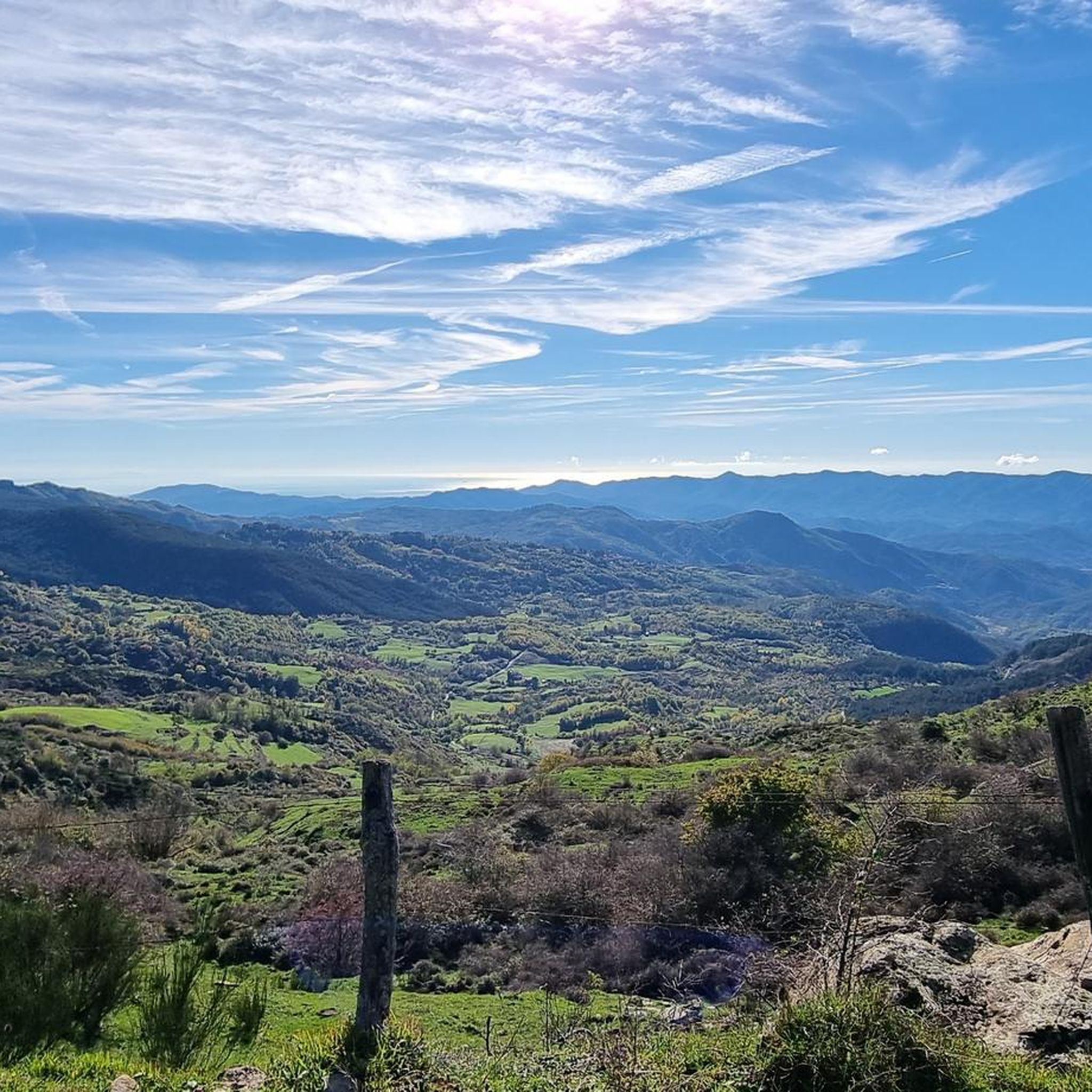
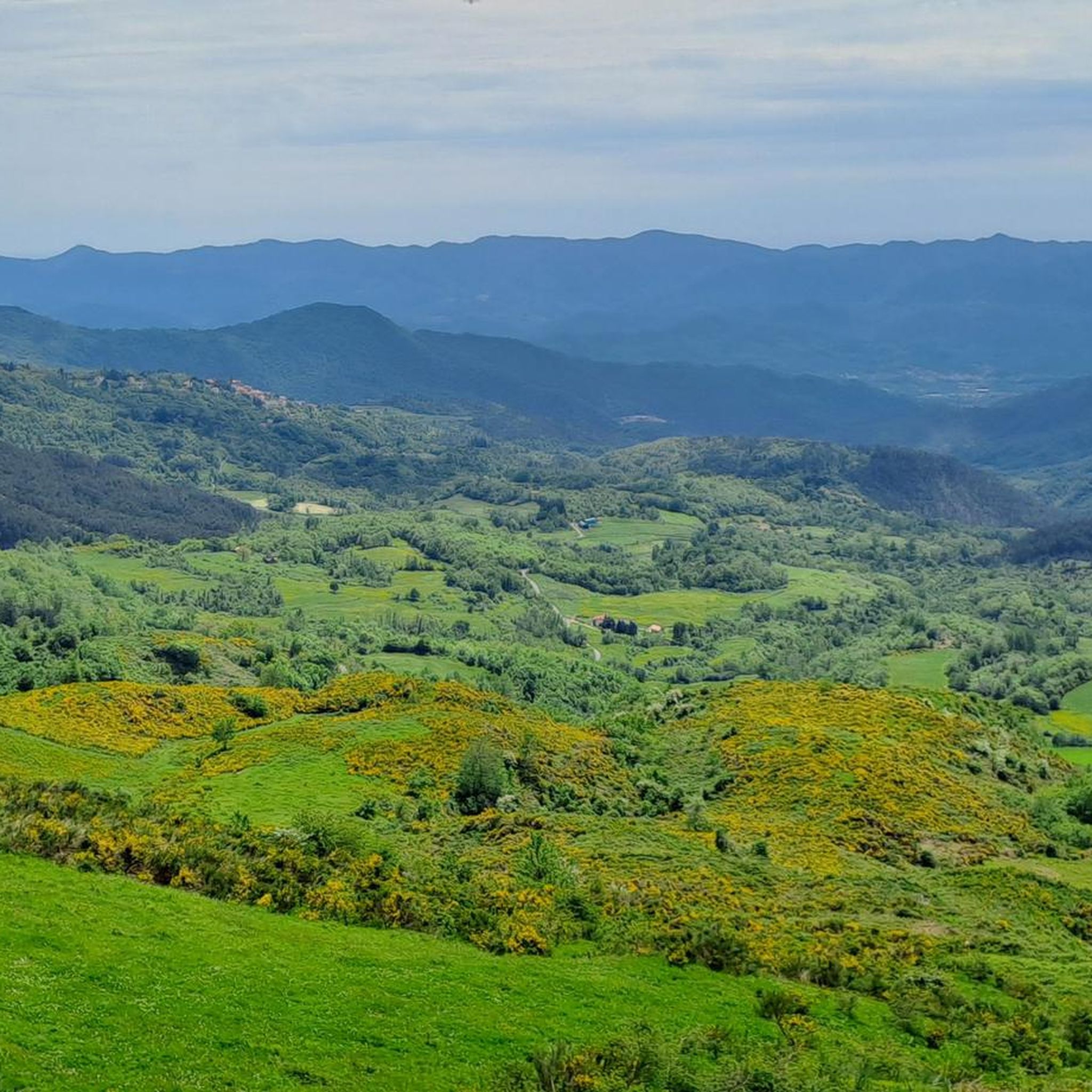
커뮤니티 팁

폰트레몰리는 캔터베리/남부 잉글랜드에서 로마까지 이어지는 역사적인 순례길 비아 프랑치제나에 위치해 있습니다. 북부 토스카나의 중세 보석입니다.
1
0
거대한 돔과 화려한 바로크 건축 양식을 갖춘 아름다운 교회
0
0
Concattedrale di Santa Maria Assunta는 거대한 돔과 화려한 바로크 건축 양식으로 내부에 깊은 인상을 줍니다
1
0

Torre del Casotto(역사적으로 Torre dei Seratti라고도 알려짐)는 그림 같은 Lunigiana 지역에 위치한 Pontremoli의 고대 요새 구조물 중 하나입니다. 14세기 초 귀족 Ghibelline Seratti 가문이 건설한 이 탑은 매우 전략적인 위치에 자리 잡고 있습니다. Verde 개울과 Magra 강이 합류하는 지점 가까이에 있습니다. 특징적인 Ponte del Casotto(Ponte di San Francesco라고도 함) 및 근처 Porta di Imoborgo와 함께 이 방어 구조물은 중세 마을의 서쪽 입구와 역사적인 Via dei Monti를 따라 리구리아 해안으로 향하는 상업 흐름을 감시했습니다. Torre와 Ponte del Casotto의 결합된 이미지는 수세기 동안 Pontremoli 시 문장의 공식적인 핵심을 구성할 정도로 지역 정체성에 깊이 뿌리내리고 있습니다.
0
0
Il Ponte della Crësa는 토스카나주 폰트레몰리에 위치한 14세기 고대 석조 다리입니다. 역사적인 중세 마을을 연결하며 Sommoborgo 지역과 Verde 강을 잇습니다. 산 프란체스코 다리(ponte di San Francesco)로도 알려져 있습니다. 14세기에 건설되었습니다(원형은 1219년경 산 프란체스코 교회 근처에 세워졌습니다). 근처의 산 프란체스코 교회로 이어지기 때문에 산 프란체스코 디 소프라 다리(ponte di San Francesco di sopra)라고도 불립니다. 역사적인 경쟁으로 분열되었던 도시의 옛 지역들을 연결했으며 요새화된 마을로 가는 접근로 역할을 했습니다
0
0

small village but very suggestive and picturesque to pass by bicycle
1
0

During the Second World War, the Pra Bon area, located in the mountainous territory of the Municipality of Zeri (Massa-Carrara), played a strategic role in the supply network organized by the Allies for the partisan formations active in the Ligurian-Tuscan-Emilian Apennines. The location, a high grassy expanse located near the Foce di Prabono, was used as a launch field for materials intended for the liberation struggle. Due to its isolated position, difficult to access by land but visible from the sky and large enough to receive airdrops, Pra Bon was ideal for this purpose. Allied aircraft — generally taking off from southern Italy or from bases in Corsica — carried out night airdrops of weapons, ammunition, food, medicines and radio equipment intended for the partisan detachments operating in the area. The materials were parachuted and collected on site by the partisan brigades, who then took care of their distribution and protection. The operations were not without risks. The area was subject to continuous roundups by Nazi-Fascist forces, aware of the logistical importance of those places. In particular, on August 3, 1944, near the nearby Monte Picchiara, a violent clash took place between partisan forces and German troops during one of these roundups. The toponym "Pra Bon" or "Pra Bono", which means "good meadow" in the local dialect, still evokes the memory of that period: from a place of transhumance and summer pasture, it was transformed for a few crucial months into a clandestine hub of the Resistance, a meeting point between the mountains of Lunigiana and the liberated skies.
0
0
지나고 주변에서 가장 인기 있는 경로
지나고 주변에서 가장 인기 있는 명소


더 살펴보기
다른 지역의 최고의 자전거 경로를 살펴보세요.
