모에사 최고의 라이딩 경로
4.6
(583)
16,027
자전거 타는 사람
27
라이딩
모에사에서 하이킹하며 그리손 구석 부분까지 살펴볼까요? 모에사에 있는 모든 하이킹 및 워킹 경로 컬렉션 중 가장 멋진 하이킹 경로를 엄선하여 소개해드릴게요. 다른 하이커가 공유한 실제 팁과 사진을 살펴보고 후기를 읽으며 마음에 드는 모에사 워킹 경로를 찾아보세요.
마지막 업데이트: 10월 10, 2026
4.2
(5)
303
자전거 타는 사람
80.5km
04:39
1,880m
1,880m
Cycle the difficult 50-mile Graubünden Route from San Bernardino Pass to Bellinzona, featuring a dramatic alpine-to-Mediterranean descent.
4.9
(11)
193
자전거 타는 사람
45.5km
02:05
500m
500m
Cycle the moderate 28.2-mile Graubünden Route Loop in Val Mesolcina, experiencing Alpine to Mediterranean scenery in 2 hours and 4 minutes.

4.6
(5)
134
자전거 타는 사람
45.3km
02:29
940m
940m
This difficult 28.2-mile road cycling route ascends 3076 feet to Rossa in Valbella, offering challenging gradients and scenic views.
4.0
(2)
61
자전거 타는 사람
41.7km
03:08
1,710m
1,710m
This difficult 25.9-mile road cycling loop in Val Arbedo offers 5596 feet of elevation gain, alpine views, and varied terrain.
4.5
(2)
41
자전거 타는 사람
25.5km
01:39
740m
740m
Cycle the moderate 15.9-mile Fondovalle route from San Vittore to Santa Maria Calanca, featuring scenic views and historic Torre Palas.
4.8
(4)
205
자전거 타는 사람
75.7km
04:35
1,930m
1,930m
어려운 도로 자전거 타기. 우수한 체력 필요. 지면 대부분이 잘 포장되어 있고 라이딩하기 쉬움.
4.8
(8)
141
자전거 타는 사람
40.0km
01:35
140m
140m
초급용 로드 라이딩. 모든 체력 수준에 적합. 지면 대부분이 잘 포장되어 있고 라이딩하기 쉬움.
4.8
(4)
124
자전거 타는 사람
52.1km
03:25
1,640m
1,640m
어려운 도로 자전거 타기. 우수한 체력 필요. 지면 대부분이 잘 포장되어 있고 라이딩하기 쉬움.
5.0
(4)
105
자전거 타는 사람
42.0km
02:28
1,030m
1,030m
어려운 도로 자전거 타기. 우수한 체력 필요. 지면 대부분이 잘 포장되어 있고 라이딩하기 쉬움.
4.0
(4)
133
자전거 타는 사람
46.7km
03:11
1,500m
1,500m
어려운 도로 자전거 타기. 우수한 체력 필요. 지면 대부분이 잘 포장되어 있고 라이딩하기 쉬움.
더 다양한 경로와 다른 탐험가들의 추천을 살펴보세요.
이미 komoot 계정이 있나요?
투어 추천은 다른 사람들이 komoot에서 완료한 수천 개의 활동을 바탕으로 구성되어 있습니다.
오늘 무료 계정으로 시작하세요
다음 모험이 기다리고 있어요.
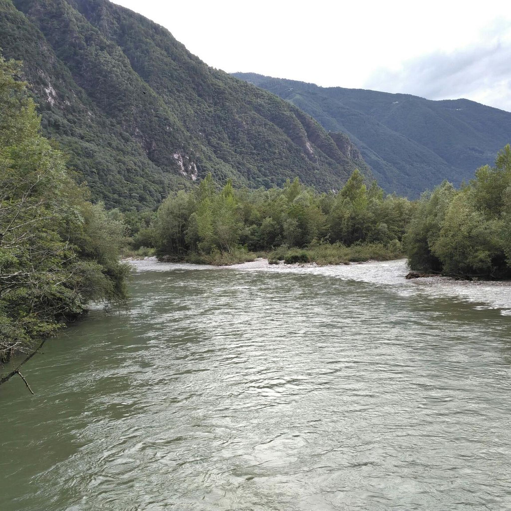
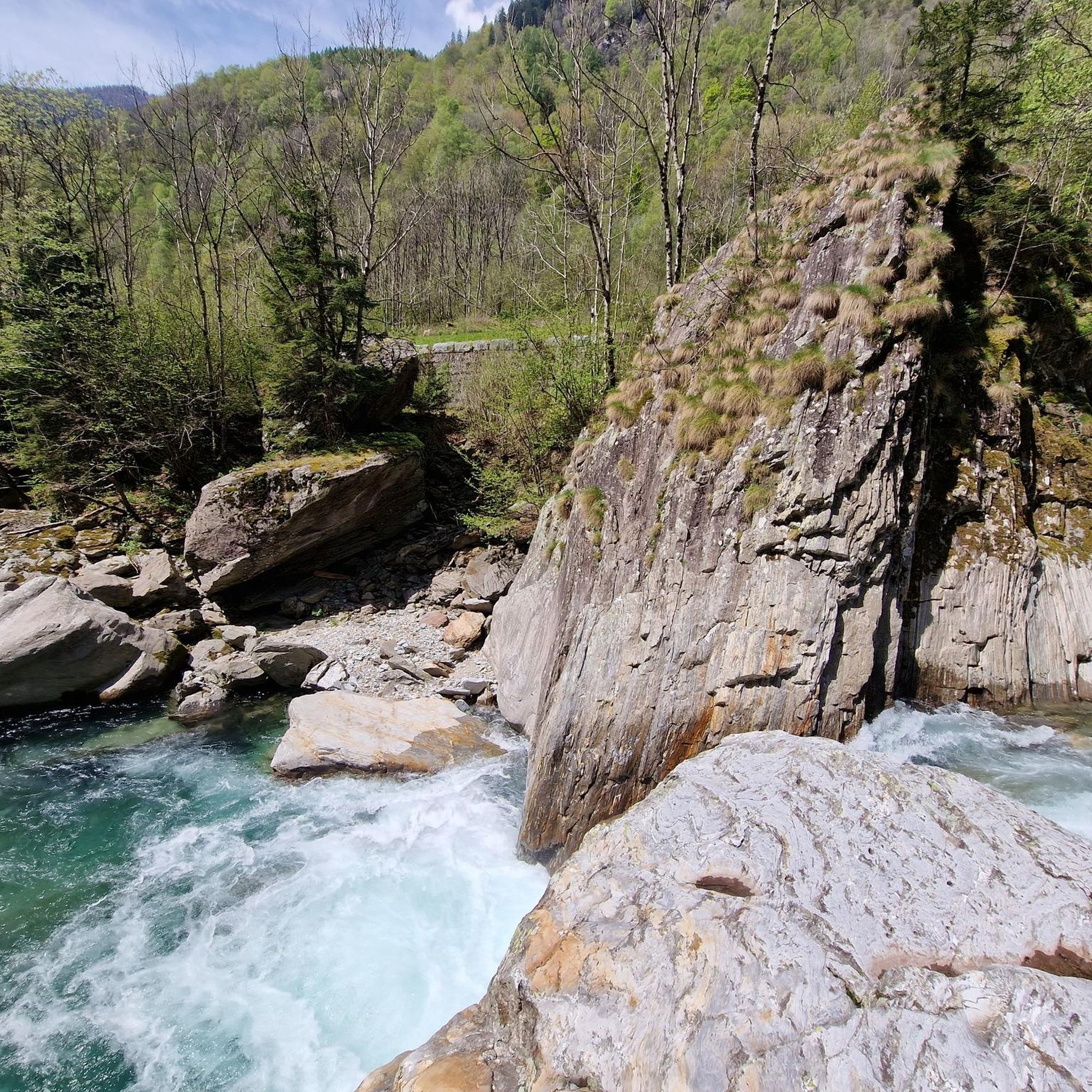
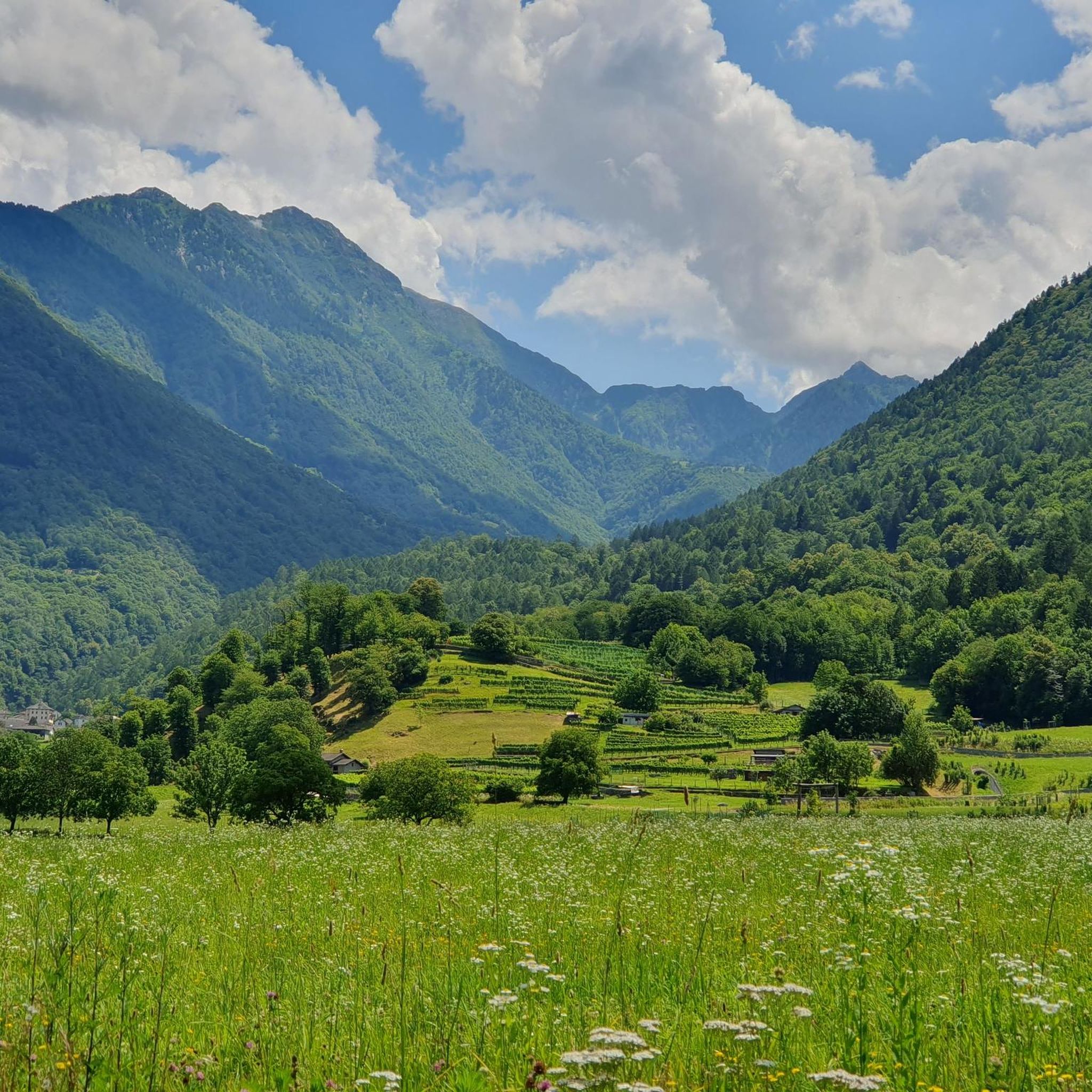
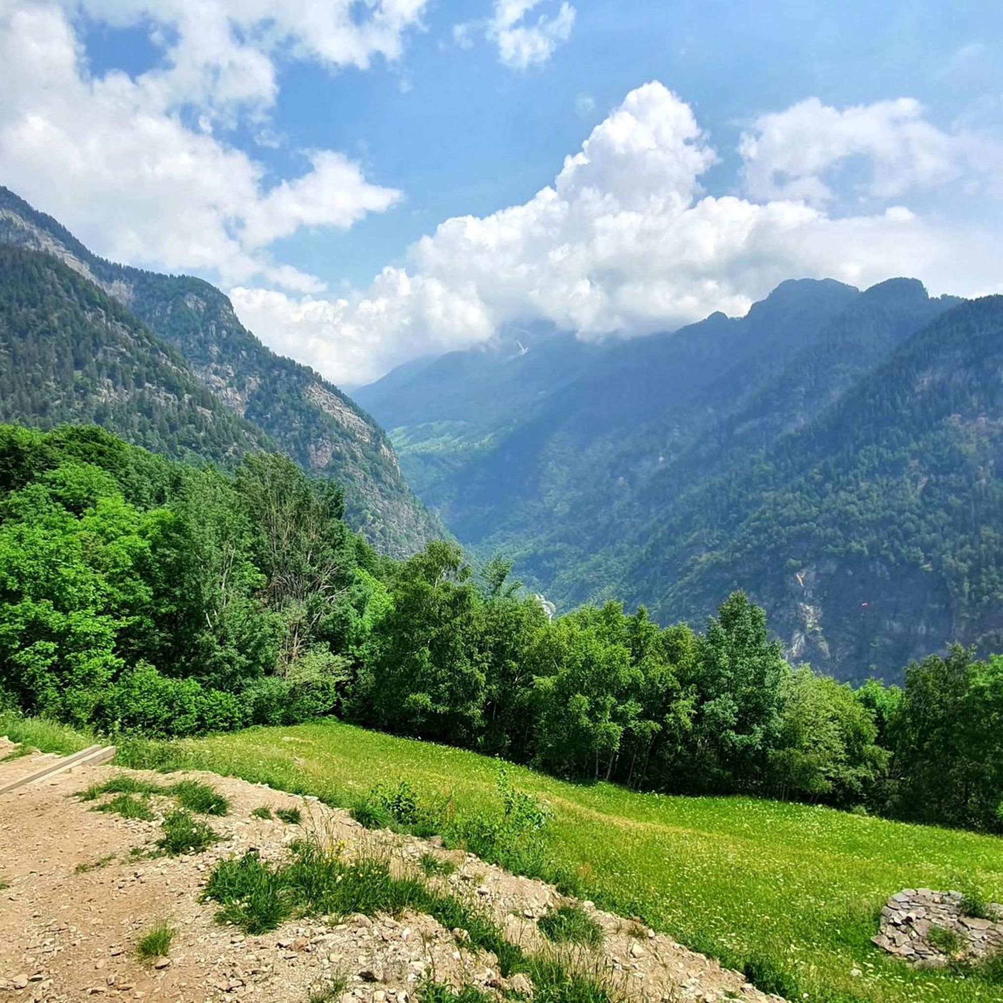
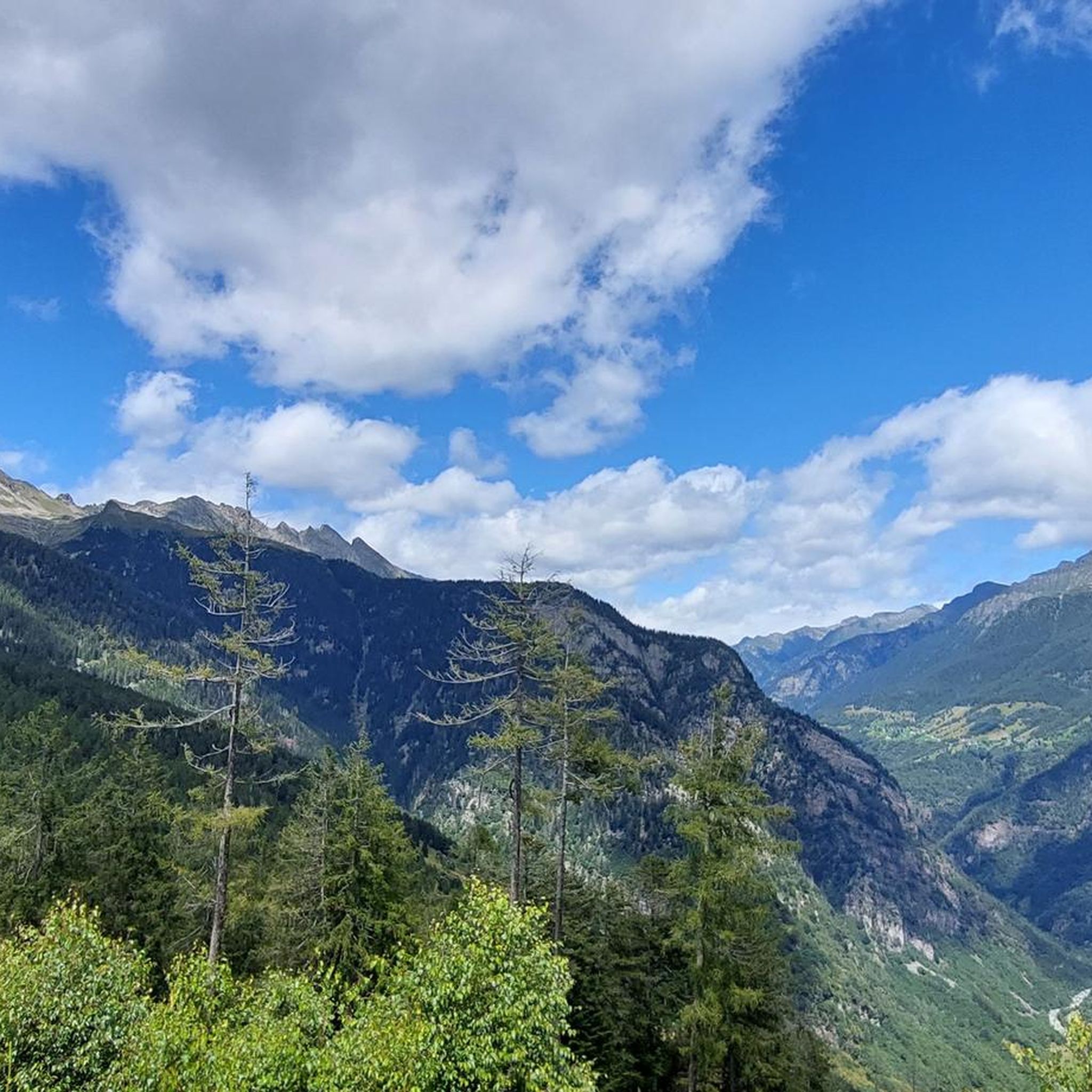
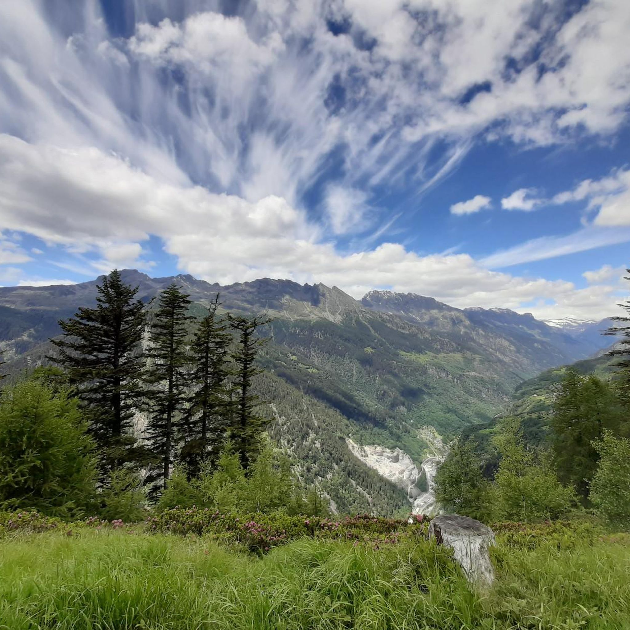
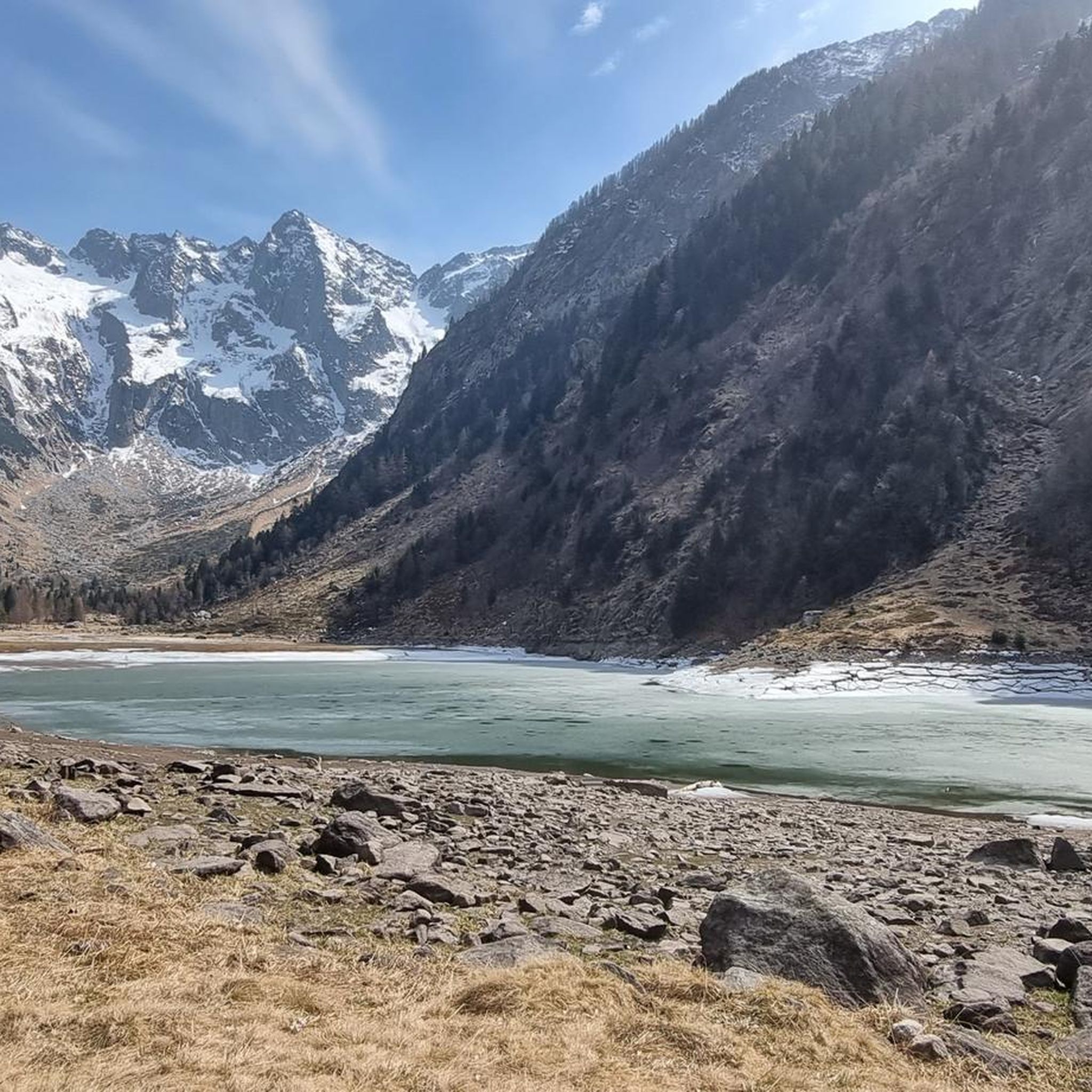
모에사의 다른 모험


커뮤니티 팁

여러 번 갔습니다 - 아스코나 출발 - 아름답지만 이번 6월은 태양이 우리를 지치게 했습니다
0
0


몬테 라우라는 로베레도 위 약 1,400미터 높이에 있습니다. 이 작은 마을은 구불구불한 도로를 통해 마을에서 접근할 수 있으며 경사면에 느슨하게 퍼져 있습니다. 이곳 위에서는 미솔치나 계곡의 아름다운 전망을 볼 수 있으며 계곡의 번잡함에서 빠르게 벗어날 수 있습니다.
0
0

Very good alternative to the main road, completely paved.
0
0

Steep! Make sure you have the right gears and eat enough!!
0
0

Since, as is often the case, the pass signs are completely covered with stickers, taking photos in front of them is no longer fun. Alternatively, you can use the boundary stone to take a "proof photo." On the other side of the road, there's another, smaller stone with the elevation: 2113 m.
0
0
From Splügen, the final climb to the pass of the same name begins. From here, there are still about 9 km, 600 meters of elevation gain, and some beautiful switchbacks to conquer ⛰️🚲😍.
0
0


찾고 계신 것을 찾지 못하셨나요?
모에사에서 더 많은 로드 사이클링 경로를 확인하고 목적지에서 완벽한 경로를 찾아보세요.
