수르셀바 최고의 라이딩 경로
4.5
(1213)
56,746
자전거 타는 사람
52
라이딩
수르셀바에서 하이킹하며 그리손 구석 부분까지 살펴볼까요? 수르셀바에 있는 모든 하이킹 및 워킹 경로 컬렉션 중 가장 멋진 하이킹 경로를 엄선하여 소개해드릴게요. 다른 하이커가 공유한 실제 팁과 사진을 살펴보고 후기를 읽으며 마음에 드는 수르셀바 워킹 경로를 찾아보세요.
마지막 업데이트: 10월 7, 2026
4.7
(7)
271
자전거 타는 사람
51.0km
03:01
1,290m
1,290m
어려운 도로 자전거 타기. 우수한 체력 필요. 투어 중 라이딩하기 어려운 비포장 구간이 있을 수 있음.
4.9
(8)
143
자전거 타는 사람
43.3km
02:32
1,000m
1,000m
어려운 도로 자전거 타기. 우수한 체력 필요. 투어 중 라이딩하기 어려운 비포장 구간이 있을 수 있음.

4.8
(16)
583
자전거 타는 사람
112km
05:38
1,830m
1,830m
어려운 도로 자전거 타기. 우수한 체력 필요. 투어 중 라이딩하기 어려운 비포장 구간이 있을 수 있음.
4.8
(13)
455
자전거 타는 사람
92.0km
05:20
2,170m
2,170m
어려운 도로 자전거 타기. 우수한 체력 필요. 투어 중 라이딩하기 어려운 비포장 구간이 있을 수 있음.
5.0
(7)
418
자전거 타는 사람
94.4km
05:57
2,530m
2,530m
어려운 도로 자전거 타기. 우수한 체력 필요. 투어 중 라이딩하기 어려운 비포장 구간이 있을 수 있음.
5.0
(3)
141
자전거 타는 사람
77.8km
04:27
1,820m
1,820m
어려운 도로 자전거 타기. 우수한 체력 필요. 지면 대부분이 잘 포장되어 있고 라이딩하기 쉬움.
4.0
(4)
297
자전거 타는 사람
55.7km
03:05
1,180m
1,180m
어려운 도로 자전거 타기. 우수한 체력 필요. 지면 대부분이 잘 포장되어 있고 라이딩하기 쉬움.
5.0
(3)
169
자전거 타는 사람
28.4km
01:59
890m
890m
보통 도로 자전거 타기. 좋은 체력 필요. 투어 중 라이딩하기 어려운 비포장 구간이 있을 수 있음.
5.0
(6)
164
자전거 타는 사람
77.4km
04:37
2,000m
2,000m
어려운 도로 자전거 타기. 우수한 체력 필요. 투어 중 라이딩하기 어려운 비포장 구간이 있을 수 있음.
5.0
(2)
135
자전거 타는 사람
27.7km
01:32
570m
570m
보통 도로 자전거 타기. 좋은 체력 필요. 지면 대부분이 잘 포장되어 있고 라이딩하기 쉬움.
더 다양한 경로와 다른 탐험가들의 추천을 살펴보세요.
이미 komoot 계정이 있나요?
투어 추천은 다른 사람들이 komoot에서 완료한 수천 개의 활동을 바탕으로 구성되어 있습니다.
오늘 무료 계정으로 시작하세요
다음 모험이 기다리고 있어요.
수르셀바의 다른 모험


커뮤니티 팁


easy to drive and scenically spectacular
0
0

A place of power in a special class
0
0

Disentis is the largest town in Surselva and NOT Ilanz.
1
0

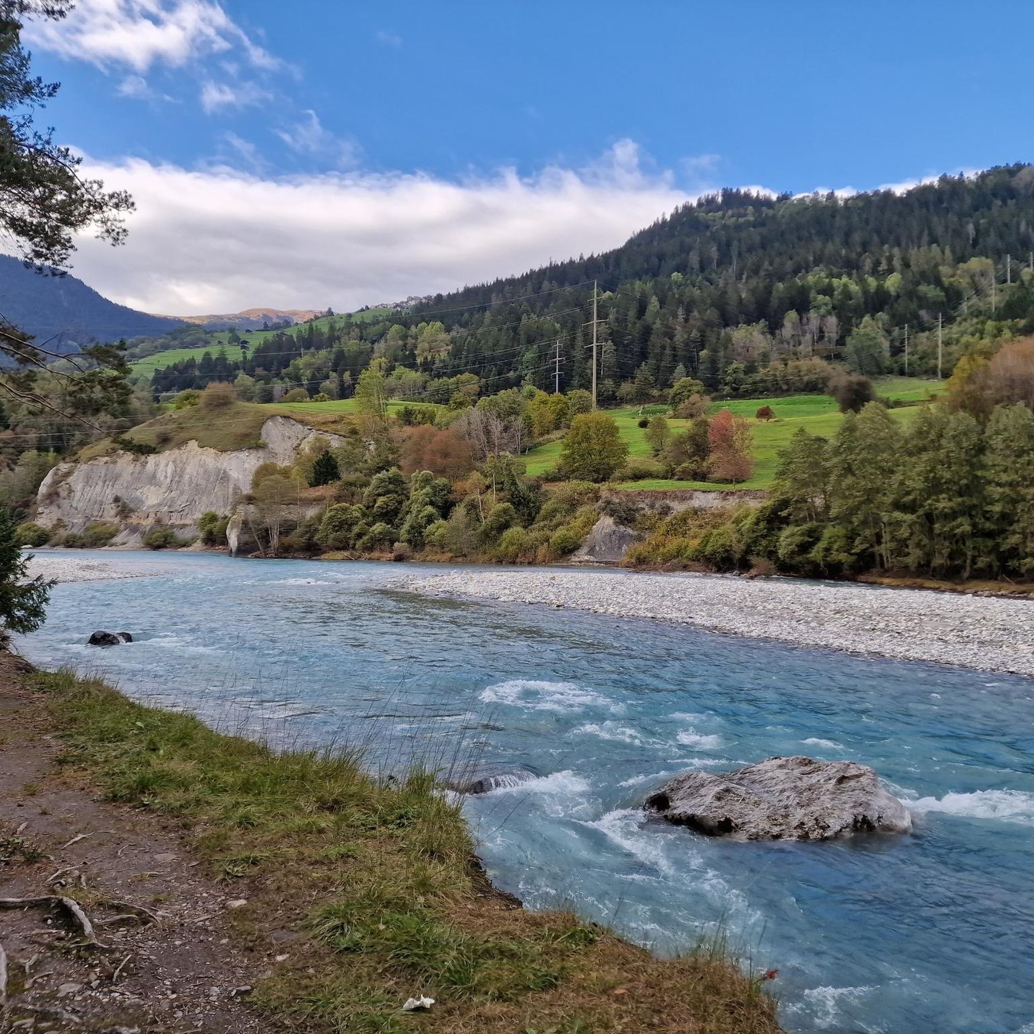
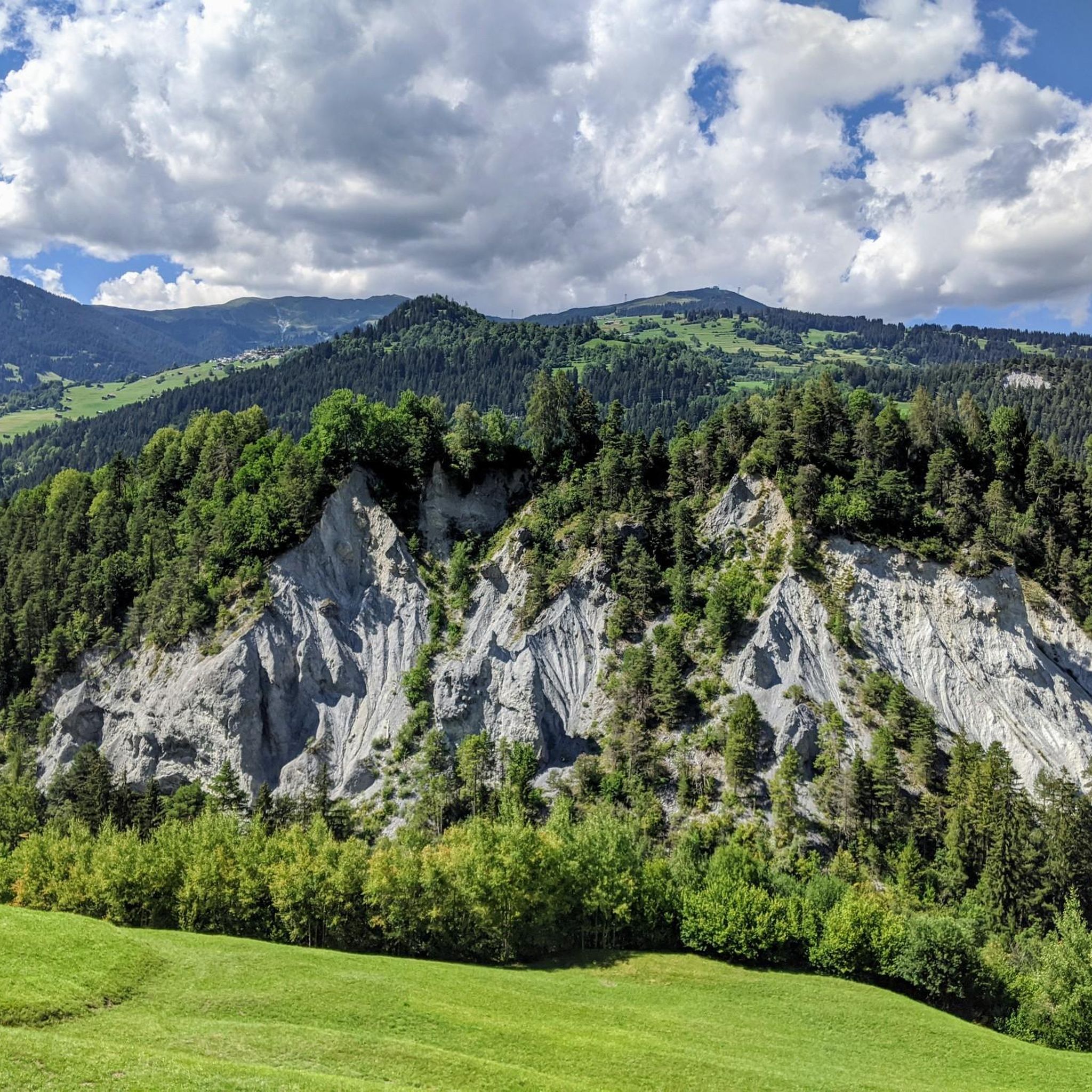
Ruinaulta Rhine Gorge The Ruinaulta, or Rhine Gorge, is a gorge of the Vorderrhein River, up to 400 meters deep and approximately 13 kilometers long, between Ilanz and the mouth of the Hinterrhein River near Reichenau in the canton of Graubünden in Switzerland. The Romansh name 'Ruinaulta' is composed of the two words ruina (scree slope, quarry) and aulta (high). The Ruinaulta was formed after the Flims Landslide almost 10,000 years ago. At that time, over 10 billion cubic meters of rock broke off between the Flimserstein and Piz Grisch, burying the Vorderrhein Valley between the present-day villages of Castrisch and Reichenau under a mass of debris several hundred meters thick. Because the Vorderrhein River could no longer drain away, a lake was dammed over a length of approximately 25 kilometers. Over time, the river cut deep into the landslide, and the resulting lake drained away completely. What remained was the Ruinaulta, with its steep limestone scree cliffs in impressive erosion formations. Text / Source: Wikipedia https://de.wikipedia.org/wiki/Ruinaulta
16
0
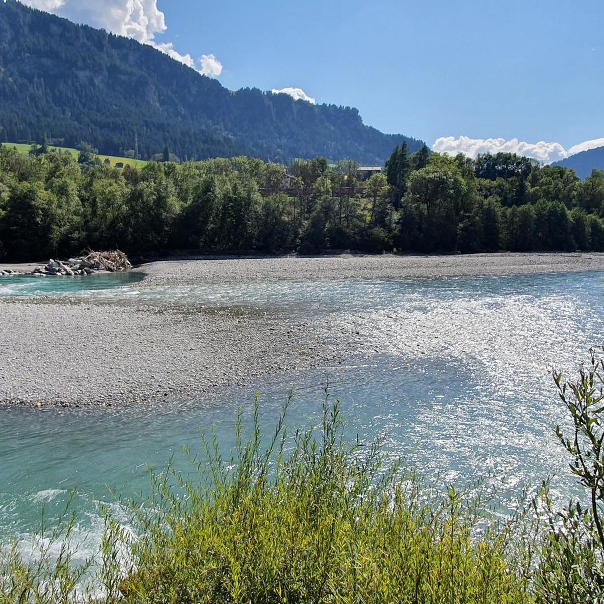
Confluence of the Vorderrhein and Hinterrhein, Reichenau Dominated by Reichenau Castle, the hamlet lies at the confluence of the Vorderrhein and Hinterrhein rivers, making it virtually the birthplace of the Rhine. It all began 10,000 years ago. Between the Flimserstein (a high plateau) and Piz Grisch, over 10,000 cubic meters of rock broke off and thundered down into the valley. Towards Reichenau, the Vorderrhein valley disappears under a gigantic mass of rubble. From there, the Rhine diligently ate its way through the rock, creating the spectacular Swiss "Grand Canyon" – the Ruinaulta. Text / Source: myswitzerland.com https://www.myswitzerland.com/de-ch/erlebnisse/route/vom-zusammenfluss-der-rheine-in-die-rheinschlucht/
16
0


찾고 계신 것을 찾지 못하셨나요?
수르셀바에서 더 많은 로드 사이클링 경로를 확인하고 목적지에서 완벽한 경로를 찾아보세요.
