임보덴 최고의 라이딩 경로
4.4
(414)
13,944
자전거 타는 사람
28
라이딩
임보덴에서 하이킹하며 그리손 구석 부분까지 살펴볼까요? 임보덴에 있는 모든 하이킹 및 워킹 경로 컬렉션 중 가장 멋진 하이킹 경로를 엄선하여 소개해드릴게요. 다른 하이커가 공유한 실제 팁과 사진을 살펴보고 후기를 읽으며 마음에 드는 임보덴 워킹 경로를 찾아보세요.
마지막 업데이트: 9월 24, 2026
4.7
(35)
712
자전거 타는 사람
45.9km
02:37
1,020m
1,020m
어려운 도로 자전거 타기. 우수한 체력 필요. 지면 대부분이 잘 포장되어 있고 라이딩하기 쉬움.
4.5
(19)
576
자전거 타는 사람
55.0km
02:19
380m
380m
보통 도로 자전거 타기. 좋은 체력 필요. 지면 대부분이 잘 포장되어 있고 라이딩하기 쉬움.

5.0
(7)
501
자전거 타는 사람
59.5km
03:03
1,010m
1,010m
어려운 도로 자전거 타기. 우수한 체력 필요. 지면 대부분이 잘 포장되어 있고 라이딩하기 쉬움.
4.9
(28)
788
자전거 타는 사람
142km
07:26
2,550m
2,550m
어려운 도로 자전거 타기. 우수한 체력 필요. 지면 대부분이 잘 포장되어 있고 라이딩하기 쉬움.
4.3
(4)
284
자전거 타는 사람
85.6km
04:03
980m
980m
어려운 도로 자전거 타기. 우수한 체력 필요. 투어 중 라이딩하기 어려운 비포장 구간이 있을 수 있음.
4.5
(19)
586
자전거 타는 사람
49.4km
02:16
560m
560m
보통 도로 자전거 타기. 좋은 체력 필요. 지면 대부분이 잘 포장되어 있고 라이딩하기 쉬움.
4.5
(2)
73
자전거 타는 사람
22.4km
01:04
280m
280m
초급용 로드 라이딩. 모든 체력 수준에 적합. 지면 대부분이 잘 포장되어 있고 라이딩하기 쉬움.
4.8
(4)
64
자전거 타는 사람
62.2km
03:41
1,580m
1,580m
어려운 도로 자전거 타기. 우수한 체력 필요. 지면 대부분이 잘 포장되어 있고 라이딩하기 쉬움.
4.0
(1)
82
자전거 타는 사람
189km
10:11
3,710m
3,710m
어려운 도로 자전거 타기. 우수한 체력 필요. 지면 대부분이 잘 포장되어 있고 라이딩하기 쉬움.
95
자전거 타는 사람
33.6km
01:58
780m
780m
보통 도로 자전거 타기. 좋은 체력 필요. 투어 중 라이딩하기 어려운 비포장 구간이 있을 수 있음.
더 다양한 경로와 다른 탐험가들의 추천을 살펴보세요.
이미 komoot 계정이 있나요?
투어 추천은 다른 사람들이 komoot에서 완료한 수천 개의 활동을 바탕으로 구성되어 있습니다.
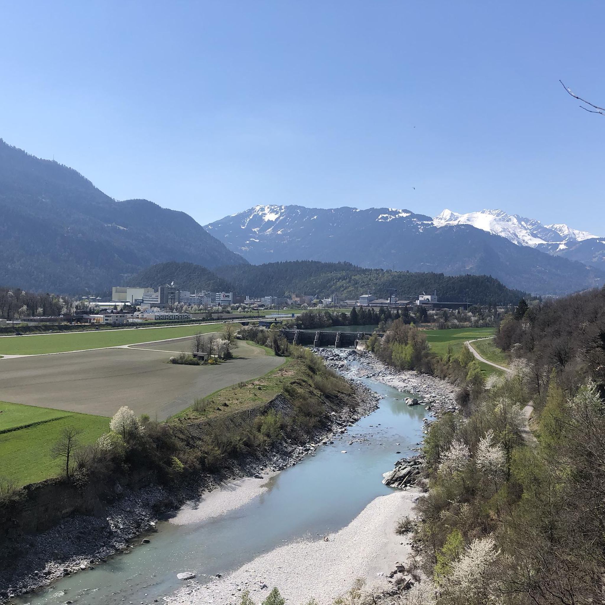
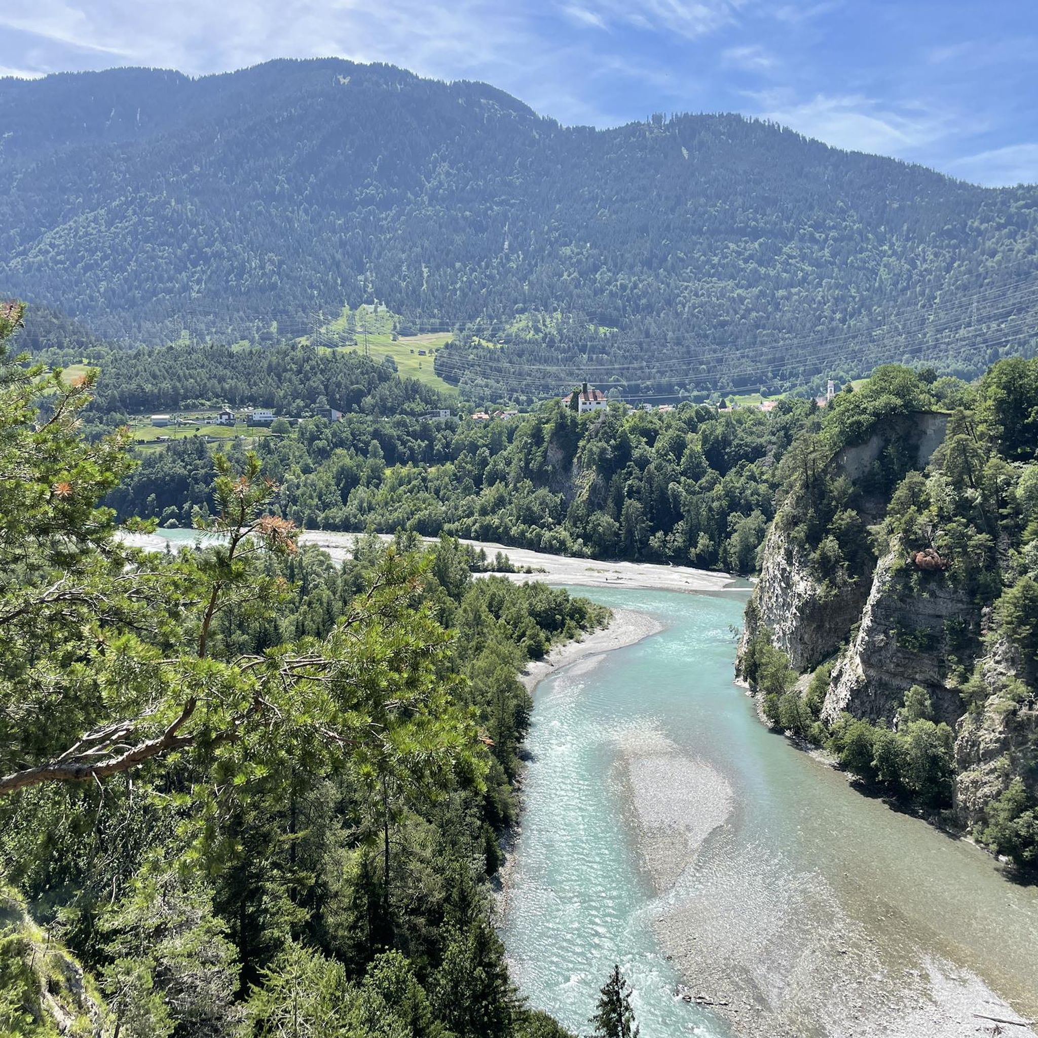
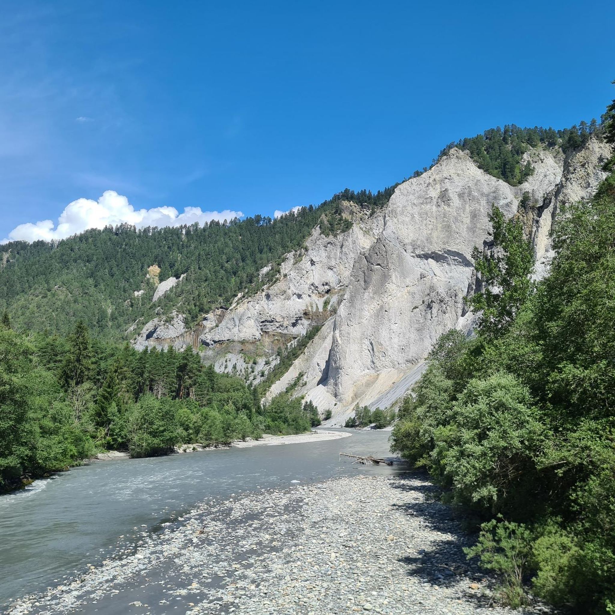
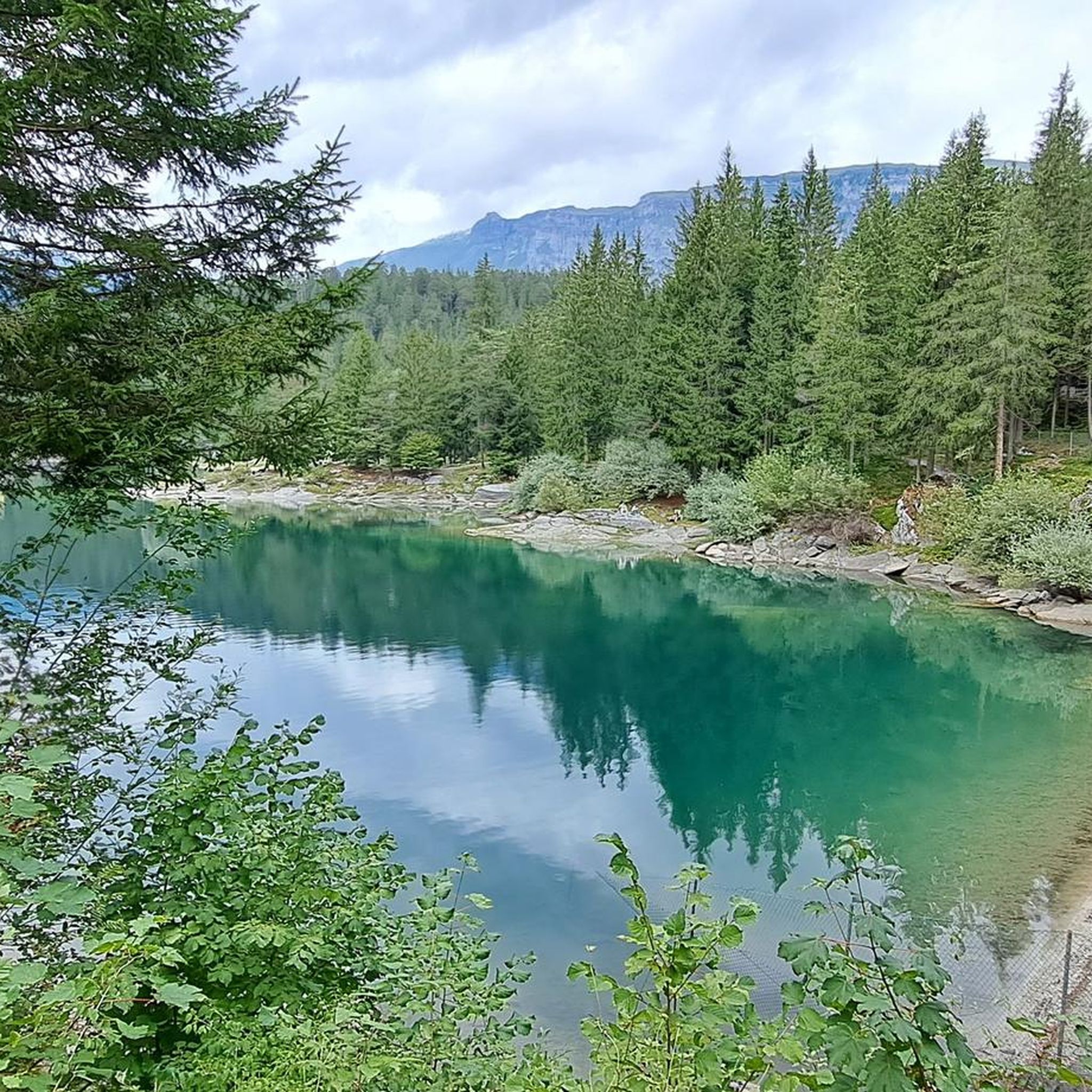
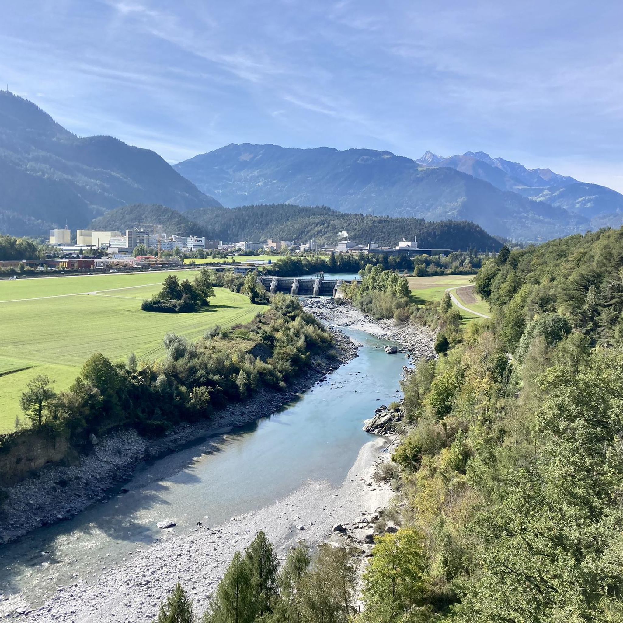
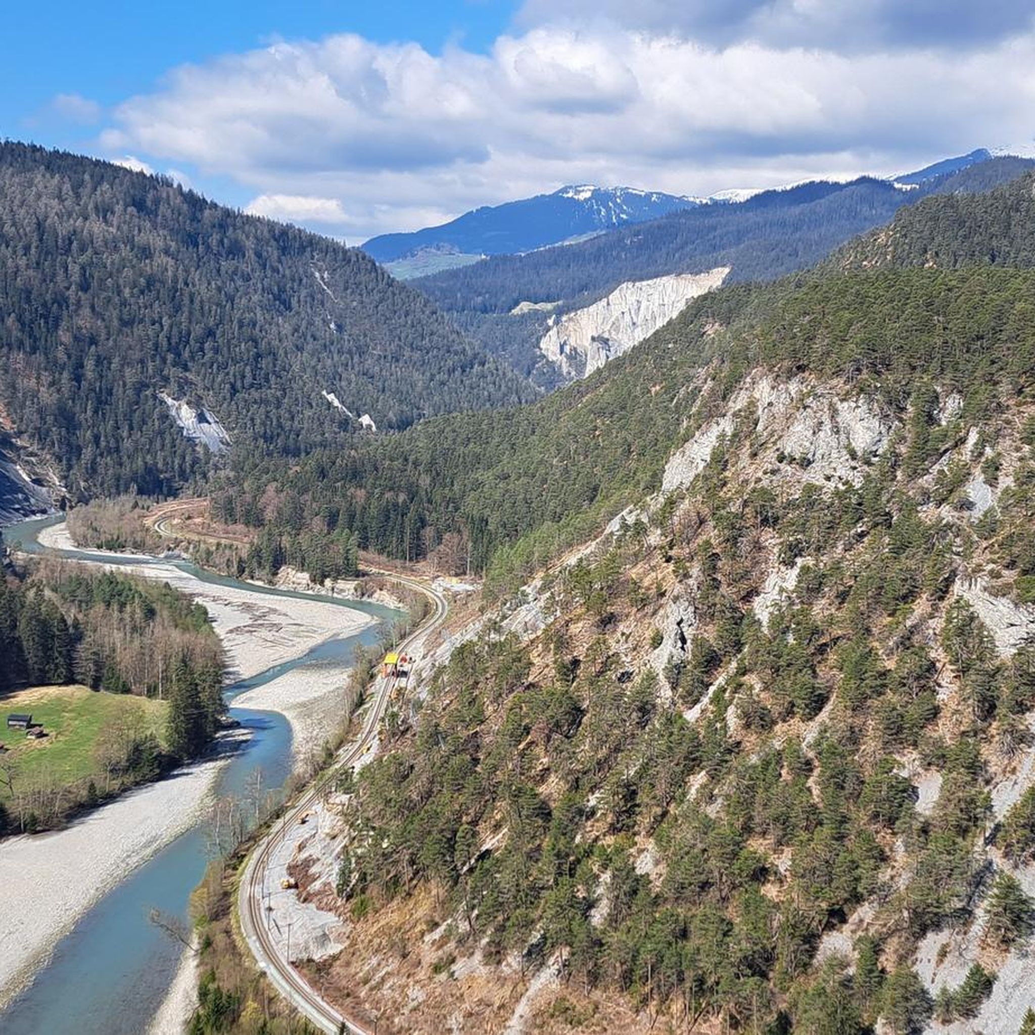
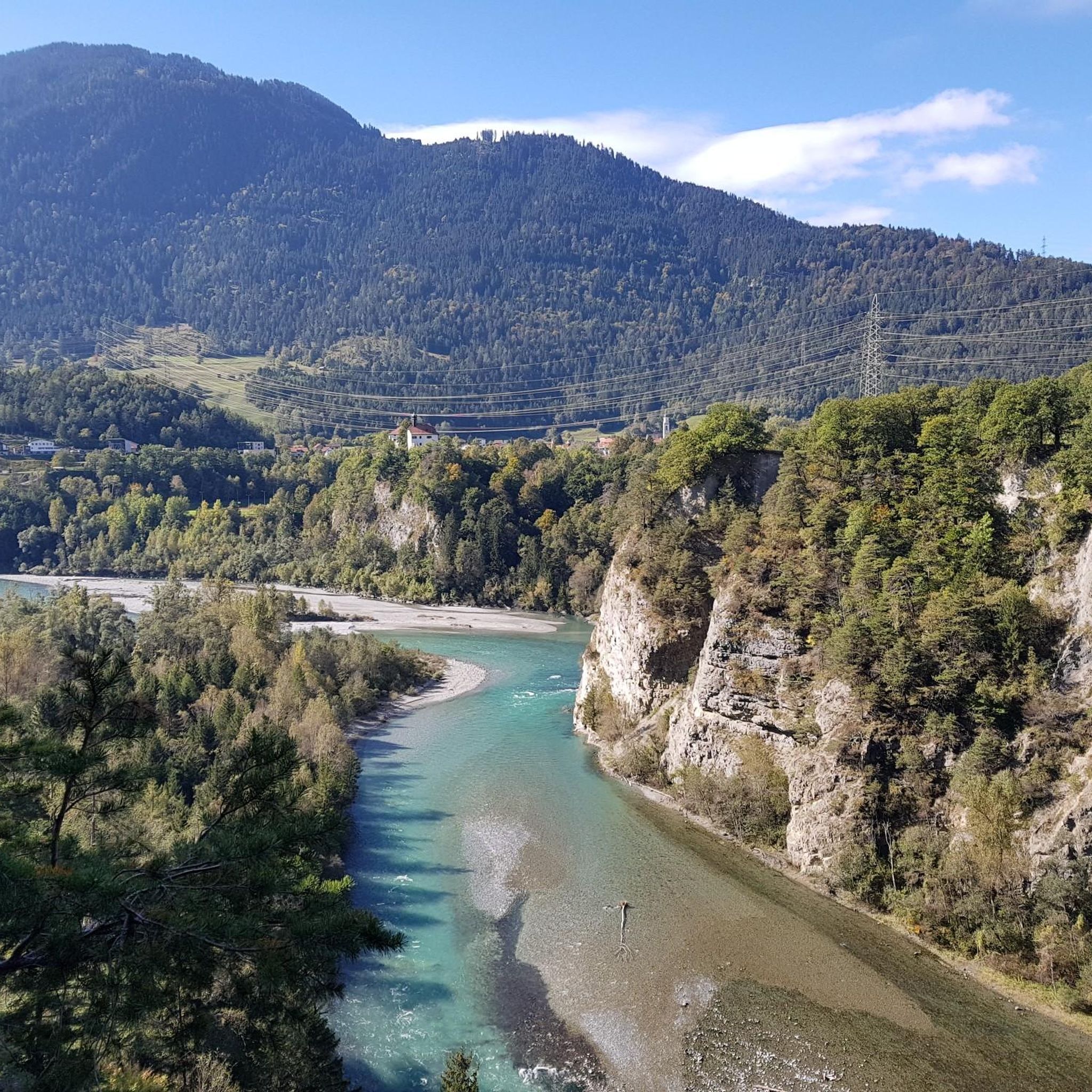
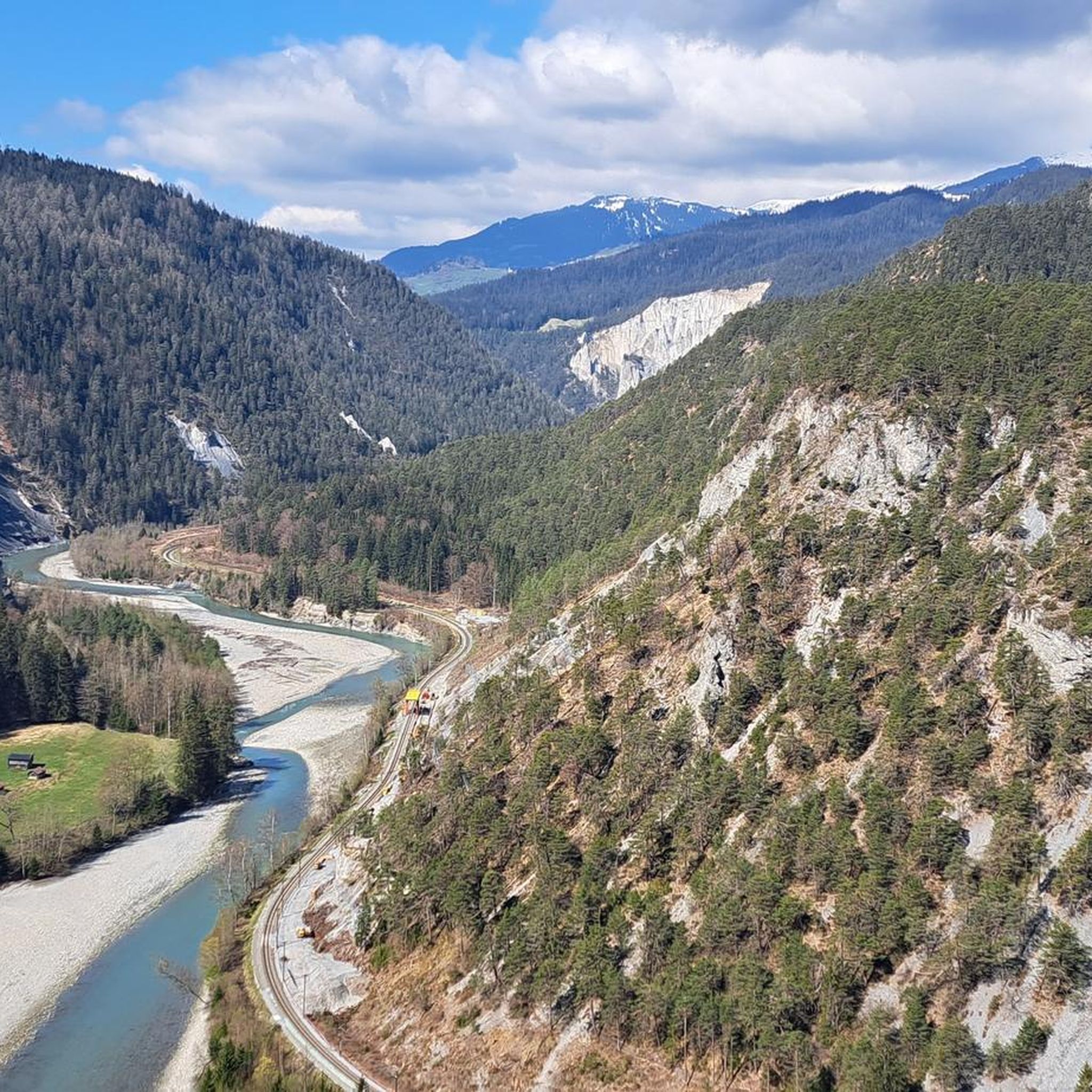



커뮤니티 팁

Bad Ragaz는 타미나 협곡으로 하이킹을 갈 수 있는 아름답고 작은 마을입니다. https://de.wikipedia.org/wiki/Bad_Ragaz
0
0

RhB Reichenau 역, 주차 가능, Sagogn 또는 Ilanz까지의 Vorderrhein 협곡을 통과하는 자전거 또는 하이킹 투어를 위한 훌륭한 출발점입니다. 협곡을 따라 Trin, Versam-Safien 또는 Valendas-Sagogn에 RhB의 작은 기차역이 있어 중간 정차 또는 Reichenau로 돌아가는 데 사용할 수 있습니다.
0
0


easy to drive and scenically spectacular
0
0

Saints Anne and Joachim are considered the parents of the Mother of God, whose birth this church celebrates. They are thus the grandparents of Jesus, but are not mentioned by name in the biblical writings of the New Testament. An exact date, in the historical or scientific sense, is not known for the various stages in the life of the Mother of God. However, the Feast of the Nativity of the Mother of God—one of Mary's numerous honorary titles—is celebrated on September 8th in many Christian denominations (Catholic, Anglican, Orthodox, and Armenian).
0
1

A place of power in a special class
0
0

Disentis is the largest town in Surselva and NOT Ilanz.
1
0

Parish Church of the Nativity of Mary, Rhäzüns The present-day landscape of Rhäzüns is largely shaped by the Catholic parish church of Nossadunna, located in the center of the village. The church tower rises high above the rooftops and is a landmark visible from afar. Although consecrated in 1701, the Baroque sacred building did not become a parish church until 1777. The floor plan shows an octagonal central structure with two side niches and a polygonal choir loft extended to the north. The tower is inserted into the eastern choir shoulder, and the sacristy is located in the western one. The parish of Rhäzüns always celebrates the patronal feast of the parish church of the Nativity of Mary on the first Sunday in September. However, if September 8th falls on a Sunday, the Solemnity is celebrated on September 8th. Mass begins at 10:00 a.m. All churches are open daily from 8:00 a.m. to 7:00 p.m. (Automatic door closing) Text / Source: Catholic Parish of 7403 Rhäzüns https://www.kirchgemeinde-rhaezuens.ch/kirchen/
15
0


찾고 계신 것을 찾지 못하셨나요?
임보덴에서 더 많은 로드 사이클링 경로를 확인하고 목적지에서 완벽한 경로를 찾아보세요.
