루멘에서 가장 멋진 20개의 천연기념물
천연기념물을 방문하여 루멘의 아름다운 풍경을 만나보세요. 루멘에 있는 20
개의 천연기념물과 상세 정보를 살펴본 후에 방문하고 싶은 천연기념물을 다음 모험 계획에 추가해보세요!
마지막 업데이트: 10월 29, 2026
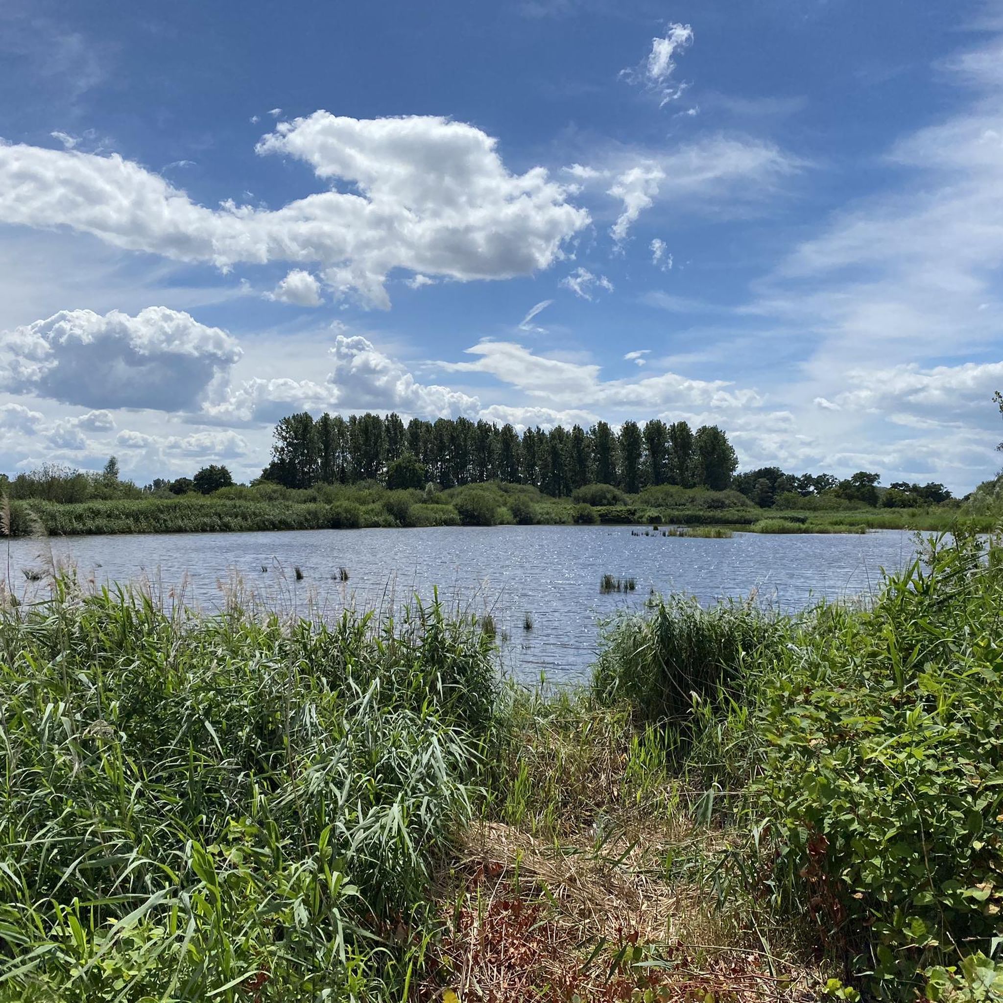
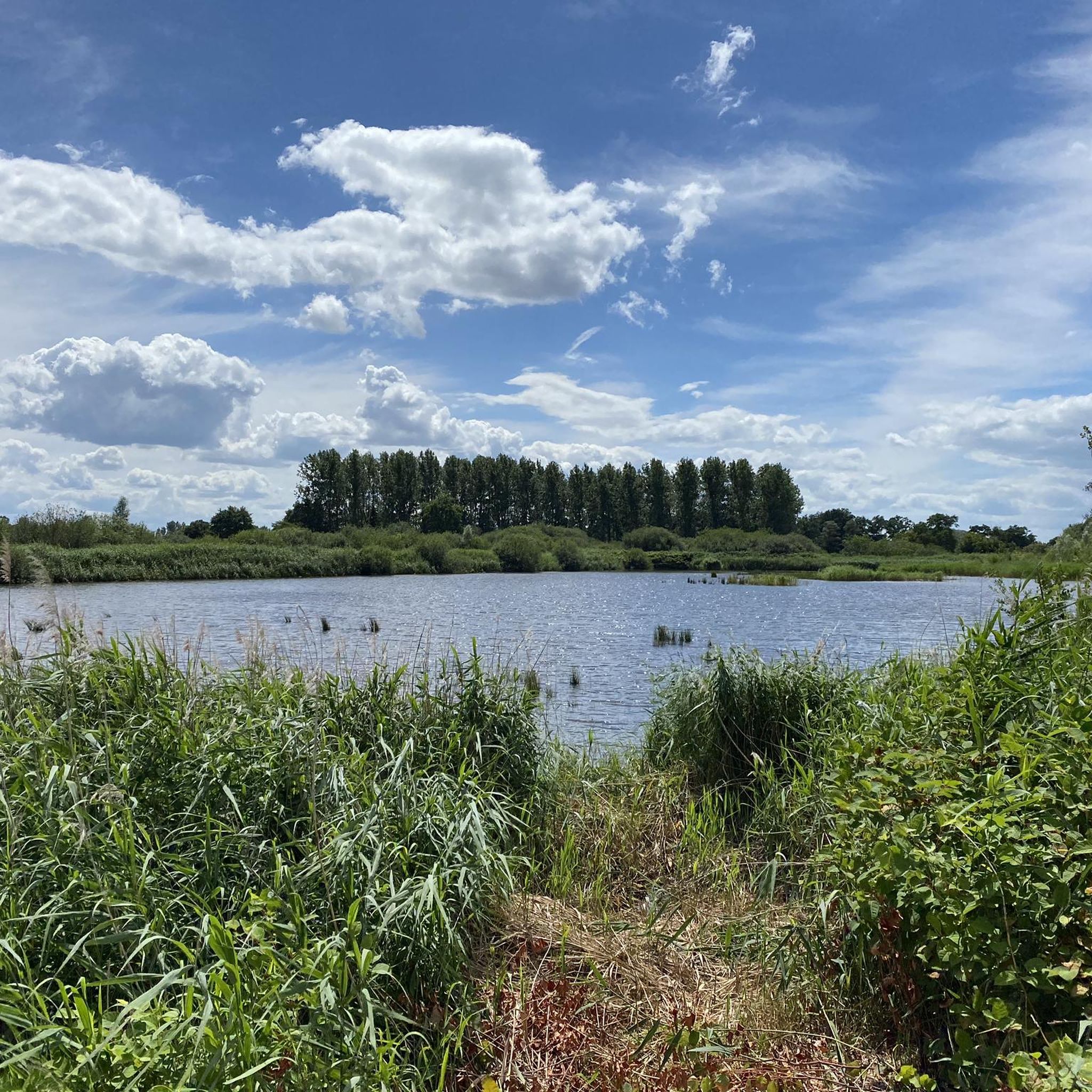
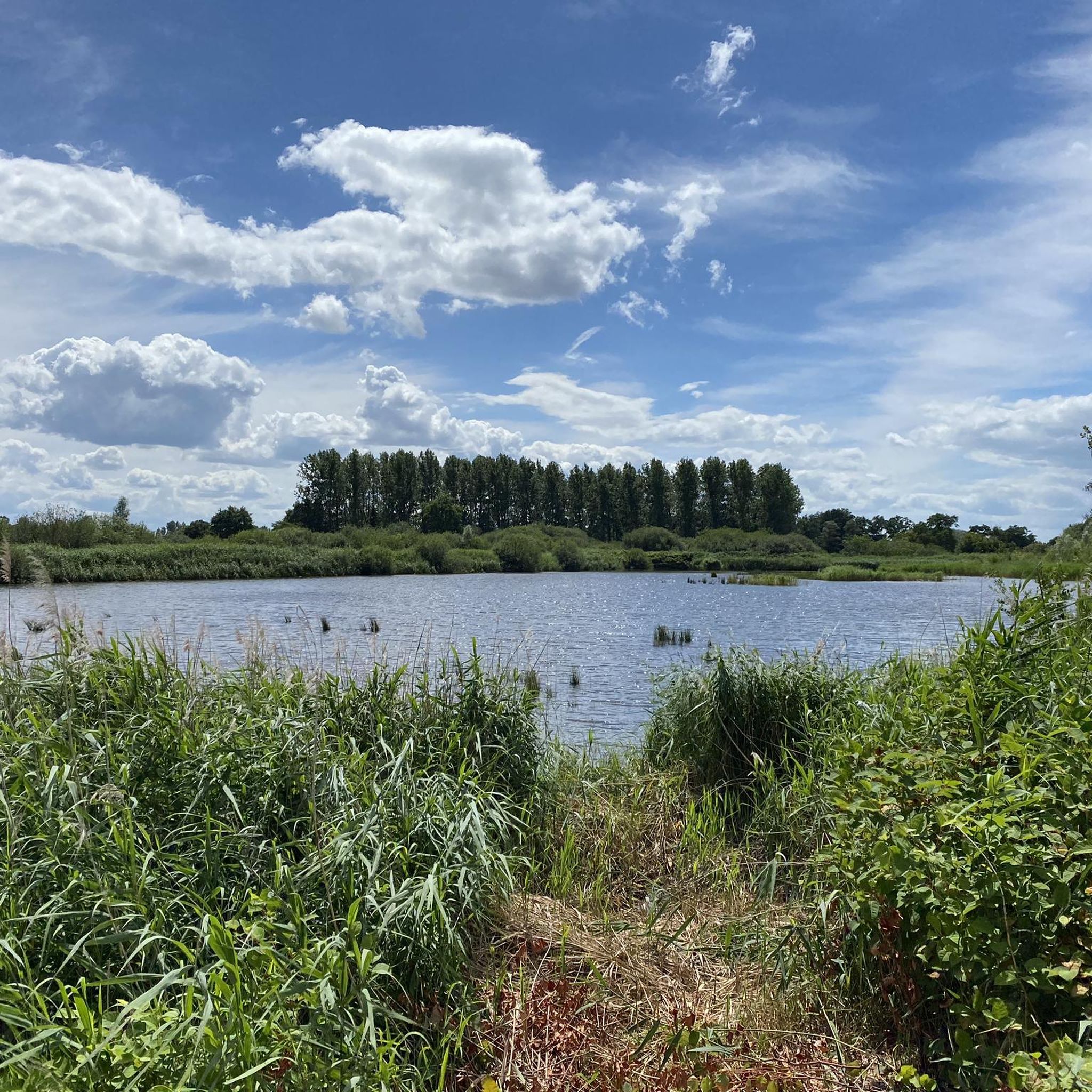
자연 보호구역 De Platwijers-Wijvenheide
하이라이트 • 호수
번역자 Google •
팁에 의해

Herkenrode 수도원 부지
하이라이트 • 역사적 장소
번역자 Google •
팁에 의해

이런 장소를 발견하려면 지금 가입하세요
최고의 싱글 트랙, 봉우리 및 다양한 흥미로운 야외 장소에 대한 추천을 받아보세요.
Avonturenberg와 be-MINE 테릴
하이라이트 • MTB 공원
번역자 Google •
팁에 의해


볼더베르크 자연 보호구역
하이라이트 • 자연 기념물
번역자 Google •
팁에 의해

무료로 가입하여 루멘 주변의 더 많은 자연 기념물을 발견하세요.
이미 komoot 계정이 있나요?
오늘 무료 계정으로 시작하세요
다음 모험이 기다리고 있어요.

커뮤니티 팁

Avonturenberg에서는 기어오르고, 등반하고, 탐험할 수 있습니다. 1,600개의 기둥으로 이루어진 숲을 통해 계단, 로프 코스, 등반 구조물, 크롤링 터널 및 산책로를 따라 테릴의 정상에 도달할 수 있습니다. 이 길은 한 전망대에서 다른 전망대로 이어지며 석탄 광산의 역사에 대한 배경 정보를 제공합니다. 정상에서는 침몰한 석탄 광장에 앉아 휴식을 취하고 평화와 전망을 즐길 수 있습니다.
3
0

Witness hill The Bolderberg and especially its origins were the subject of heated discussions within the geological community for more than a hundred years, but its geological history is now well known. Today, this hill is the reference or type location for what is known in stratigraphy (the study of the succession of the earth's layers) as the Bolderberg Formation. It consists of yellow to white very fine sand, mainly composed of quartz grains. When the sun reflects in the sand, thin flakes, mica sheets, light up. Fossil shells also occur in the sand in various places. All these sediments were deposited in a shallow sea about 20 million years ago. The first descriptions of the geological structure of the Bolderberg date from the second half of the 19th century. André Dumont Sr., the author of the first detailed geological map of Belgium, defined his Système Boldérien there. The bulk of the hill belongs to this Système Boldérien or the current Formation of Bolderberg. The top of the hill, separated from the underlying Sand of Bolderberg by a gravel of black and blue flint pebbles, is formed by the Sand of Diest. Typical for this 10 million year old sand package is the rusty brown color and the presence of iron sandstone banks, formerly frequently used as building stone in many important buildings. These iron sandstone banks are the weathering product of minuscule dark green round glauconite grains that occur in the sand. It is probably the cap of resistant rusty iron sandstone that has ensured that the underlying sand has not been washed away and the Bolderberg has remained as a witness hill. Source: https://www.hbvl.be/regio/limburg/heusden-zolder/de-bolderberg-belangrijk-limburgs-geologisch-erfgoed/32387063.html
6
0

The Herkenrode Abbey site is an interesting combination of culture, history, nature and an ideal starting point for walks.
11
0

Beringen mine spoil heap is a nature reserve on the territory of Koersel (part of Beringen) and is located on Terril number 2 of the former Beringen coal mine. Between 1941 and 1949, 11,600,000 m³ of stone was dumped here. Beringen mine spoil heap is owned by the Agency for Nature and Forests. The mine was closed in 1989 and the spoil heap was cleaned up in 1995. Herbs were sown and the whole was made accessible to the public. At a height of 125 m, 100 m above the surroundings, there is a plateau from which one has a view of the surroundings. The birds include the skylark, tree pipit, meadow pipit and lapwing. The queen page and the blue-winged grasshopper are some of the rare insects that occur in the area.
3
0
The Adventure Mountain is a unique attraction that connects the foot of the small slag heap at the track park with the top, at a height of 55 m. A special play landscape, substantive heritage paths, breathtaking mountain bike paths (MTB) and views of relics of mining history together form a total concept in which experience is central. (Openbaargroen.be)
11
0

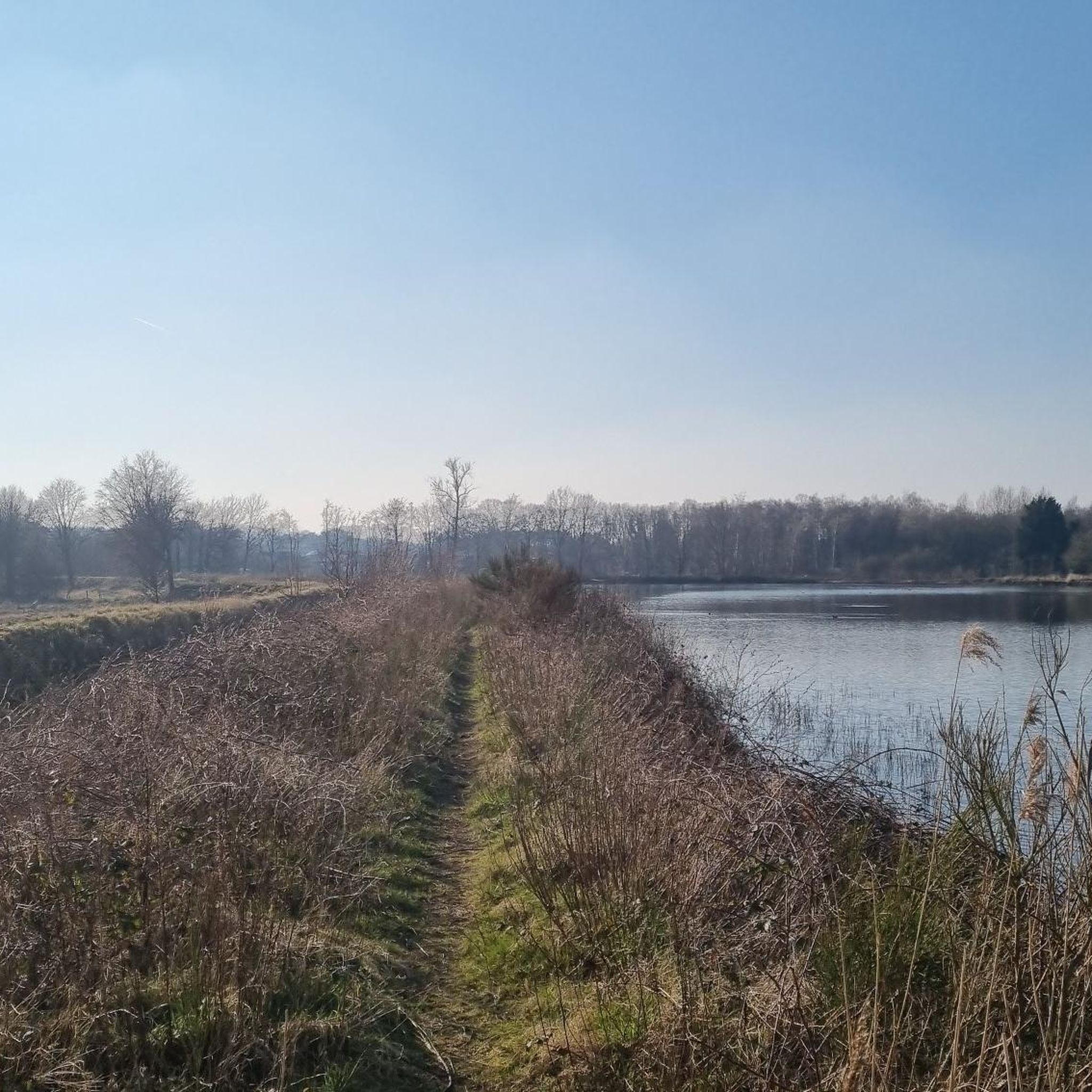
Beautiful walking on these hilly sandy paths between the heath. 👌
4
1
The Bolderberg is a witness hill and nature reserve near the eponymous town of Bolderberg in the Belgian municipality of Heusden-Zolder. It is located near the Circuit Zolder, Domein Bovy and the nature reserves Waterlozen and Wijvenheide. The largest part of the hill - including the historic Kluis van Bolderberg - belongs to the private domain of Kasteel Vogelsanck. This part of the domain is accessible to the public. Another part is owned by Limburgs Landschap vzw and is managed as a nature reserve. This is a sub-area of the Laambeekvallei reserve and covers almost 70 ha. This reserve also includes the heathland on the Bolderberg known as the Gust Claesheide, named after the Bolderberg school principal Gust Claes (1927-1978), who did much to spread knowledge about and love for nature. At the bottom of the steeply sloping heathland, seepage emerges and one finds wet heathland and raised bog with, among other things, cotton grass, bog asphodel and bog myrtle. The tree frog also occurs there. From the Kluis one has a special view of the ponds in the depths and the castle of Terlaemen. (Wikipedia)
17
0
The main entrance to the abbey is located to the south of the complex. It is a late Gothic gatehouse, built in 1531 by order of Abbess Mechtildis of Lechy. There are two storeys under two intersecting slate saddle roofs with a spire with a pear-shaped crowning at the intersection, dated 1531 (coat of arms on the rear facade) and restored in 1907 (architect G. Rypens) and 1973. Inventory of Immovable Heritage: Herkenrode Abbey, https://id.erfgoed.net/erfgoedobjecten/22246
9
0
루멘 주변에서 가장 인기 있는 명소


더 살펴보기
루멘 주변의 최고의 동굴을 찾기 위해 이 가이드를 확인해보세요:
